Heydour Warren

Wood, Forest in Lincolnshire South Kesteven

England

Heydour Warren

Bridleway towards Ermine Street Running along the district boundary between North and South Kesteven
Bridleway towards Ermine Street Credit: Tim Heaton

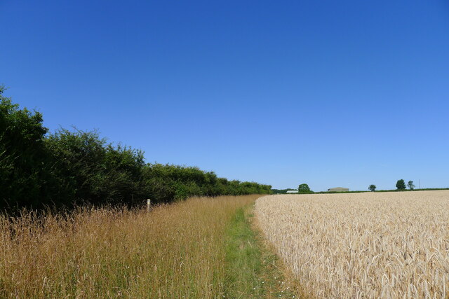
Heydour Warren is a small woodland area located in Lincolnshire, England. Situated in the village of Heydour, it covers an area of approximately 50 acres and is known for its natural beauty and diverse wildlife.

The woodland is primarily made up of native broadleaf trees such as oak, beech, and ash, which provide a dense canopy and create a peaceful and serene atmosphere. The forest floor is covered in a variety of plants including bluebells, primroses, and wild garlic, adding a splash of color to the landscape.

Heydour Warren has a long history and was once part of a larger medieval deer park. Today, it is a popular destination for nature enthusiasts, walkers, and photographers. The well-preserved footpaths and trails allow visitors to explore the woodland and discover its hidden treasures.

The area is home to a wide range of wildlife, including deer, foxes, badgers, and various bird species. Birdwatchers can often spot woodpeckers, tits, and finches among the treetops. The woodland also provides a habitat for a variety of insects, including butterflies and dragonflies.

Heydour Warren is managed and maintained by local conservation organizations, ensuring the preservation of its natural beauty and the protection of its inhabitants. It offers a peaceful retreat for those seeking to connect with nature and escape the hustle and bustle of everyday life.

If you have any feedback on the listing, please let us know in the comments section below.

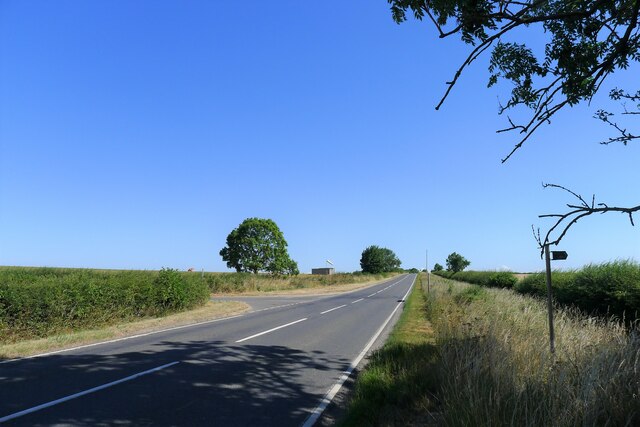
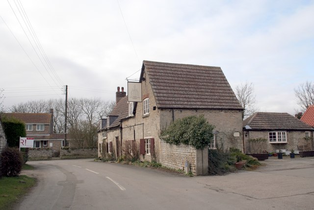
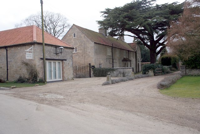
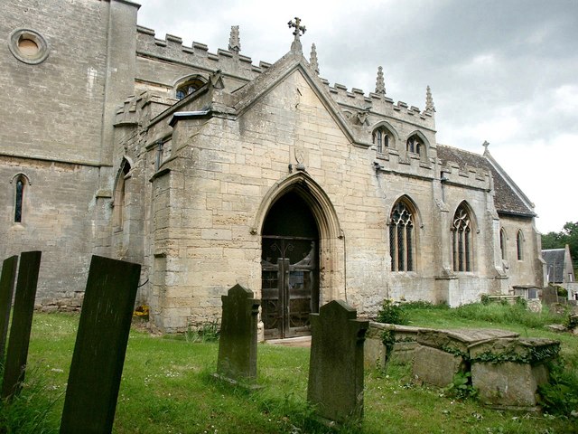
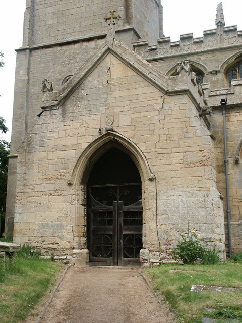
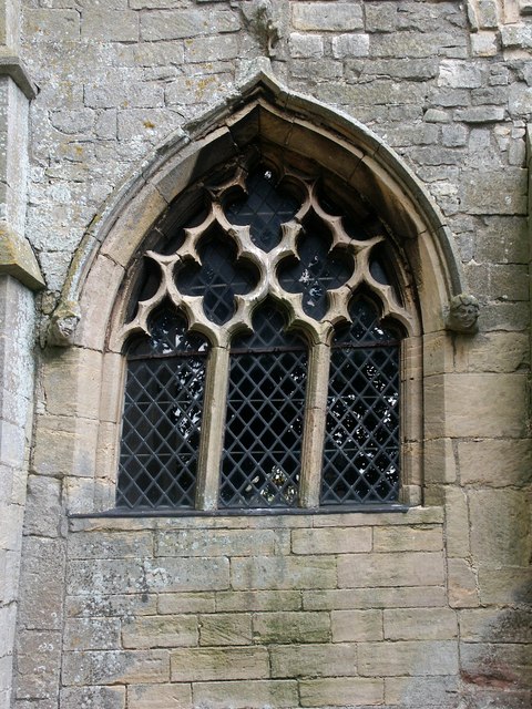
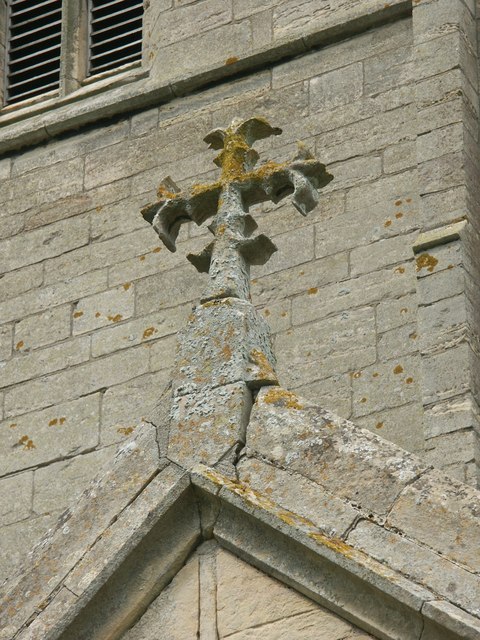
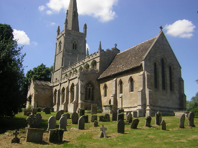
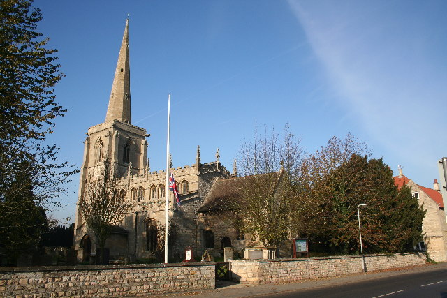
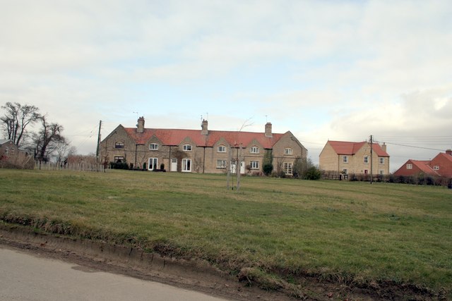
Heydour Warren Images

Images are sourced within 2km of 52.949381/-0.52774898 or Grid Reference SK9940. Thanks to Geograph Open Source API. All images are credited.

Bridleway towards Ermine Street Running along the district boundary between North and South Kesteven
Bridleway towards Ermine Street
Running along the district boundary between North and South Kesteven
Ermine Street (High Dike) at the junction with Heath Lane The fingerpost on the right indicates a bridleway to another Roman road, King Street, to the east.
Ermine Street (High Dike) at the junction with Heath Lane
The fingerpost on the right indicates a bridleway to another Roman road, King Street, to the east.
Wilsford Heath Triangulation Pillar Flush Bracket S4842.
Wilsford Heath Triangulation Pillar
Flush Bracket S4842.
St.Michael's church, Heydour, Lincs. fascinating architecture from Early English to Perpendicular - A big church for a small village.
St.Michael's church, Heydour, Lincs.
fascinating architecture from Early English to Perpendicular - A big church for a small village.
St Michael's Church, Heydour
Back Lane Oasby
Back Lane Oasby
Village Inn, Oasby.  Houblon Arms Built around 1650, the inn was initially called ‘The Old Red Lion’ and later renamed after Sir John Houblon, one of the main land-owners in the area, and the first governor of the Bank of England.
Village Inn, Oasby. Houblon Arms
Built around 1650, the inn was initially called ‘The Old Red Lion’ and later renamed after Sir John Houblon, one of the main land-owners in the area, and the first governor of the Bank of England.
Oasby House
Oasby House
Welcome to Oasby! This 'guy' is advertising the Oasby and Aisby Scarecrow Treasure Hunt.  Residents create their own scarecrows and leave them outside their homes!
Welcome to Oasby!
This 'guy' is advertising the Oasby and Aisby Scarecrow Treasure Hunt. Residents create their own scarecrows and leave them outside their homes!
Under the Spreading Chestnut Tree The Village Scarecrow Stands! (See Welcome to Oasby!)
Under the Spreading Chestnut Tree
The Village Scarecrow Stands! (See Welcome to Oasby!)
Hanging Around... ... for Hallowe'en.  Long wait though. (See <a href="https://www.geograph.org.uk/photo/467662">TF0038 : Welcome to Oasby!</a>)
Hanging Around...
... for Hallowe'en. Long wait though. (See TF0038 : Welcome to Oasby!)
The Houblon Inn, Oasby
Take me to Your Leader Dr Who and friend spotted as part of the Oasby and Aisby Scarecrow treasure hunt.  See <a href="https://www.geograph.org.uk/gridref/TF0038">TF0038</a> for more!
Take me to Your Leader
Dr Who and friend spotted as part of the Oasby and Aisby Scarecrow treasure hunt. See TF0038 for more!
Flood Warning Imminent This scarecrow was safe enough despite being well-prepared for the forecast deluge! (See <a href="https://www.geograph.org.uk/photo/467662">TF0038 : Welcome to Oasby!</a>!)
Flood Warning Imminent
This scarecrow was safe enough despite being well-prepared for the forecast deluge! (See TF0038 : Welcome to Oasby!!)
St Michael & All Angels, Heydour Showing the south entrance porch and a little of the clerestory.
St Michael & All Angels, Heydour
Showing the south entrance porch and a little of the clerestory.
St Michael & All Angels, Heydour South entrance porch.
St Michael & All Angels, Heydour
South entrance porch.
St Michael & All Angels, Heydour North facing porch window.
St Michael & All Angels, Heydour
North facing porch window.
St Michael & All Angels, Heydour Stone cross finial on the entrance porch.
St Michael & All Angels, Heydour
Stone cross finial on the entrance porch.
Show me another place!

Heydour Warren is located at Grid Ref: SK9940 (Lat: 52.949381, Lng: -0.52774898)

Administrative County: Lincolnshire

District: South Kesteven

Police Authority: Lincolnshire

What 3 Words

///reach.woodstove.submerged. Near Ancaster, Lincolnshire

Nearby Locations

Heydour Warren

Related Wikis

Oasby

Oasby is a hamlet in the civil parish of Heydour, in the South Kesteven district of Lincolnshire, England. It lies 7 miles (11 km) north-east of Grantham...

Kelby

Kelby is a hamlet in the North Kesteven district of Lincolnshire, England. It lies 5 miles (8 km) south-west from Sleaford, 9 miles (14 km) north-east...
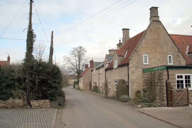
Heydour

Heydour is a hamlet and civil parish in the South Kesteven district of Lincolnshire, England. The parish population of 286 at the 2001 census rose to 311...

Ancaster, Lincolnshire

Ancaster is a village and civil parish in the South Kesteven district of Lincolnshire, England, on the site of a Roman town. The population of the civil...

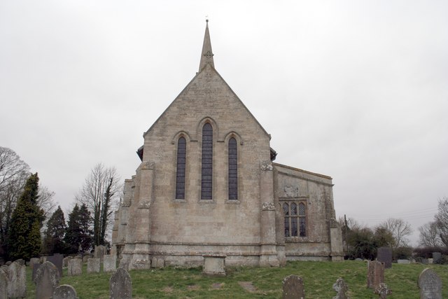
St Bartholomew's Church, Welby

St Bartholomew's Church is a Grade I listed Anglican church dedicated to St Bartholomew the Apostle, in the English village of Welby, Lincolnshire. It...

Aisby, South Kesteven

Aisby is a village in the civil parish of Heydour, in the South Kesteven district of Lincolnshire, England. It is situated 1 mile (1.6 km) north from the...

Welby, Lincolnshire

Welby is a village and civil parish in the South Kesteven district of Lincolnshire, England. The population of the civil parish was 169 in 82 households...

RAF Barkston Heath

Royal Air Force Barkston Heath or RAF Barkston Heath (ICAO: EGYE) is a Royal Air Force Relief Landing Ground under the command of RAF Cranwell near Grantham...

Nearby Amenities

Located within 500m of 52.949381,-0.52774898
Heydor Warren
Place: locality
Source: Bing
Lat/Long: 52.9503623/-0.5325689
Quarry Farm
Place: farm
Source: Bing
Lat/Long: 52.9516074/-0.5308524
Magpie Cottages
Place: isolated_dwelling
Lat/Long: 52.9502272/-0.5252361
The data included in this document is from www.openstreetmap.org. The data is made available under ODbL.

Have you been to Heydour Warren?

Leave your review of Heydour Warren below (or comments, questions and feedback).