Cabbagehill Wood
Wood, Forest in Lincolnshire South Kesteven
England
Cabbagehill Wood
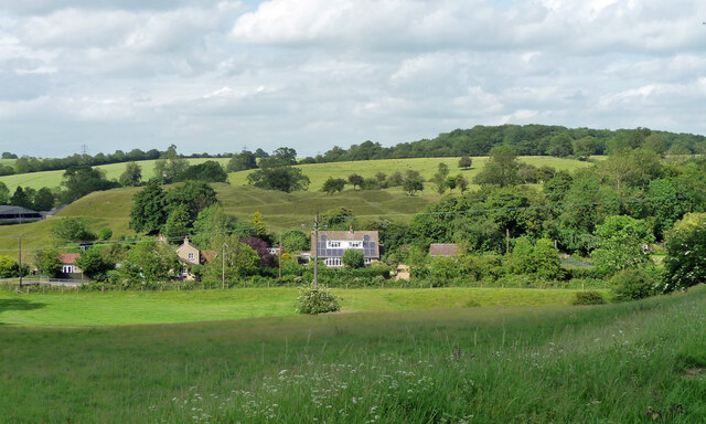
Cabbagehill Wood is a picturesque woodland located in Lincolnshire, England. Spread across an area of approximately 50 hectares, this woodland is situated in the heart of the county, offering a tranquil escape from the buzz of urban life. It is easily accessible via a network of footpaths and is a popular destination for both locals and tourists alike.
The wood is predominantly made up of deciduous trees, with oak, beech, and birch being the most common species found here. The dense canopy provides shelter for a diverse range of wildlife, including various species of birds, small mammals, and insects. It is a haven for nature lovers and birdwatchers, who can spot and observe many native and migratory birds throughout the year.
Cabbagehill Wood also boasts a rich history, with evidence of human activity dating back to prehistoric times. Archaeological excavations have unearthed artifacts and remains that provide insight into the lives of past inhabitants. Additionally, the wood is home to a number of ancient trees, some of which are estimated to be several centuries old, adding to its historical significance.
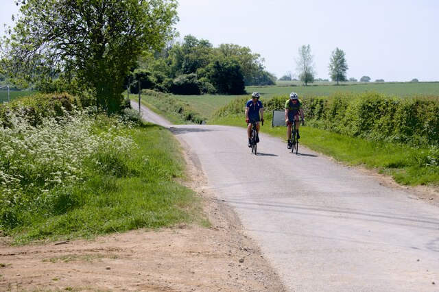
The woodland offers a range of recreational activities, with well-maintained trails for walking, jogging, and cycling. There are also designated picnic areas where visitors can relax and enjoy the peaceful surroundings. The wood is open to the public year-round and is managed by a local conservation organization, ensuring its preservation and protection for future generations to enjoy.
If you have any feedback on the listing, please let us know in the comments section below.
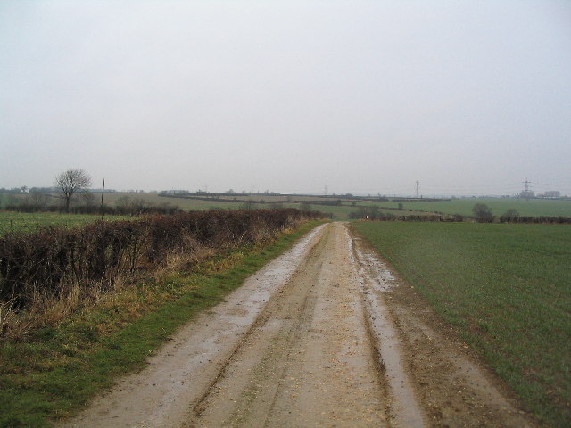
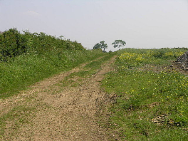
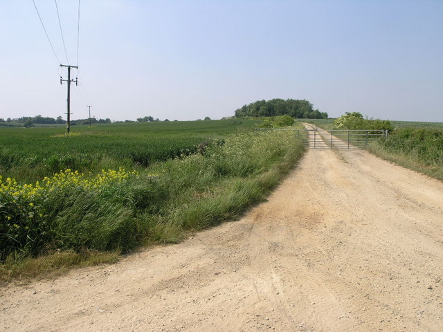
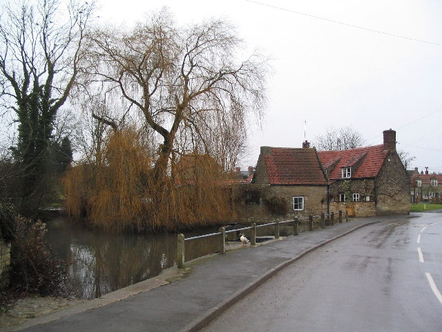
Cabbagehill Wood Images
Images are sourced within 2km of 52.766857/-0.53529151 or Grid Reference SK9819. Thanks to Geograph Open Source API. All images are credited.


Cabbagehill Wood is located at Grid Ref: SK9819 (Lat: 52.766857, Lng: -0.53529151)
Administrative County: Lincolnshire
District: South Kesteven
Police Authority: Lincolnshire
What 3 Words
///skyrocket.lousy.wedding. Near Clipsham, Rutland
Nearby Locations
Related Wikis
Castle Bytham
Castle Bytham is a village and civil parish of around 300 houses in South Kesteven, Lincolnshire, England. It is located 9 miles (14 km) north of Stamford...
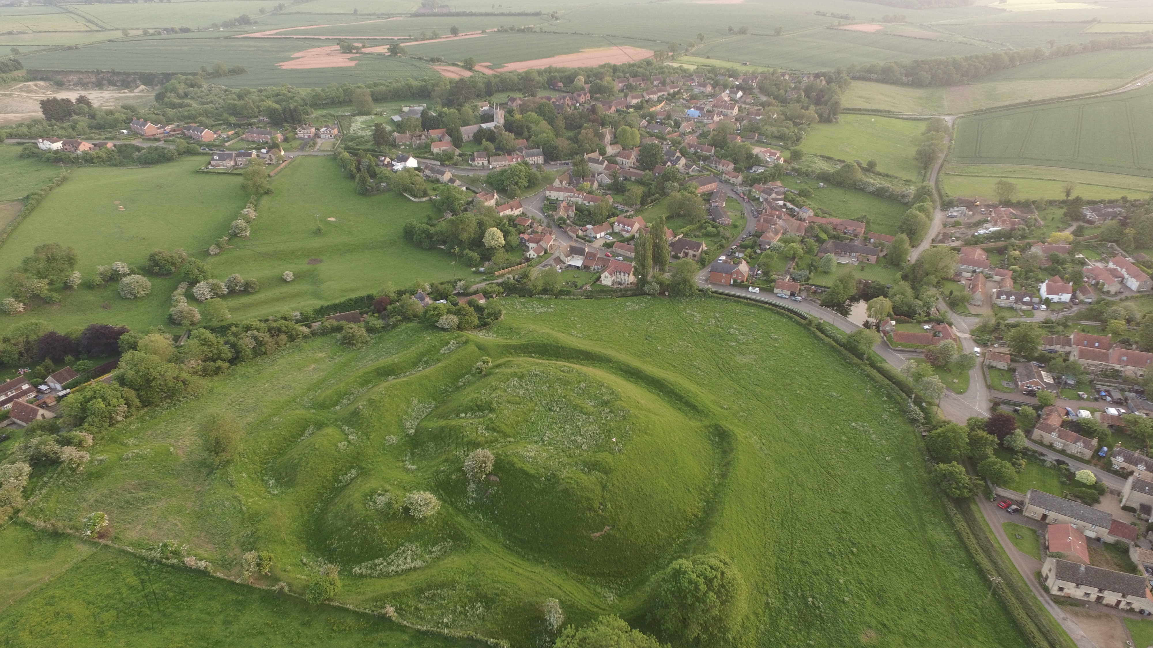
Bytham Castle
Bytham Castle was a castle in the village of Castle Bytham in Lincolnshire (grid reference SK992186.) The castle is thought to be of early Norman origin...
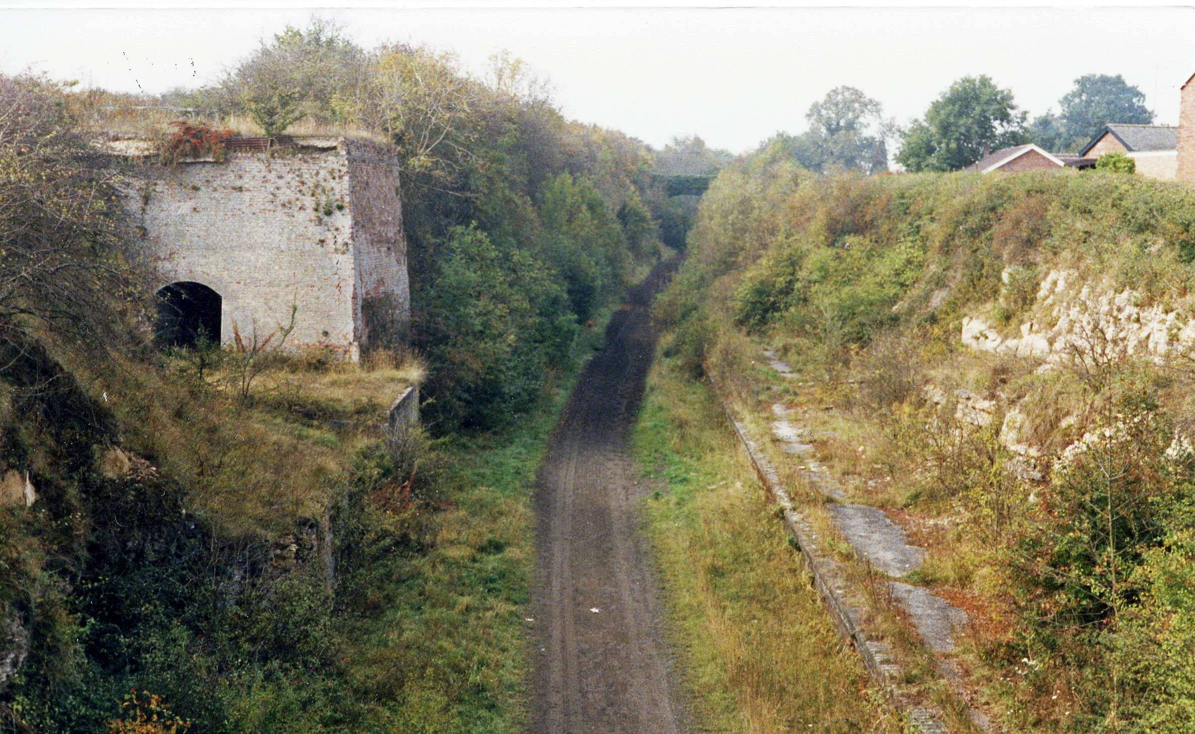
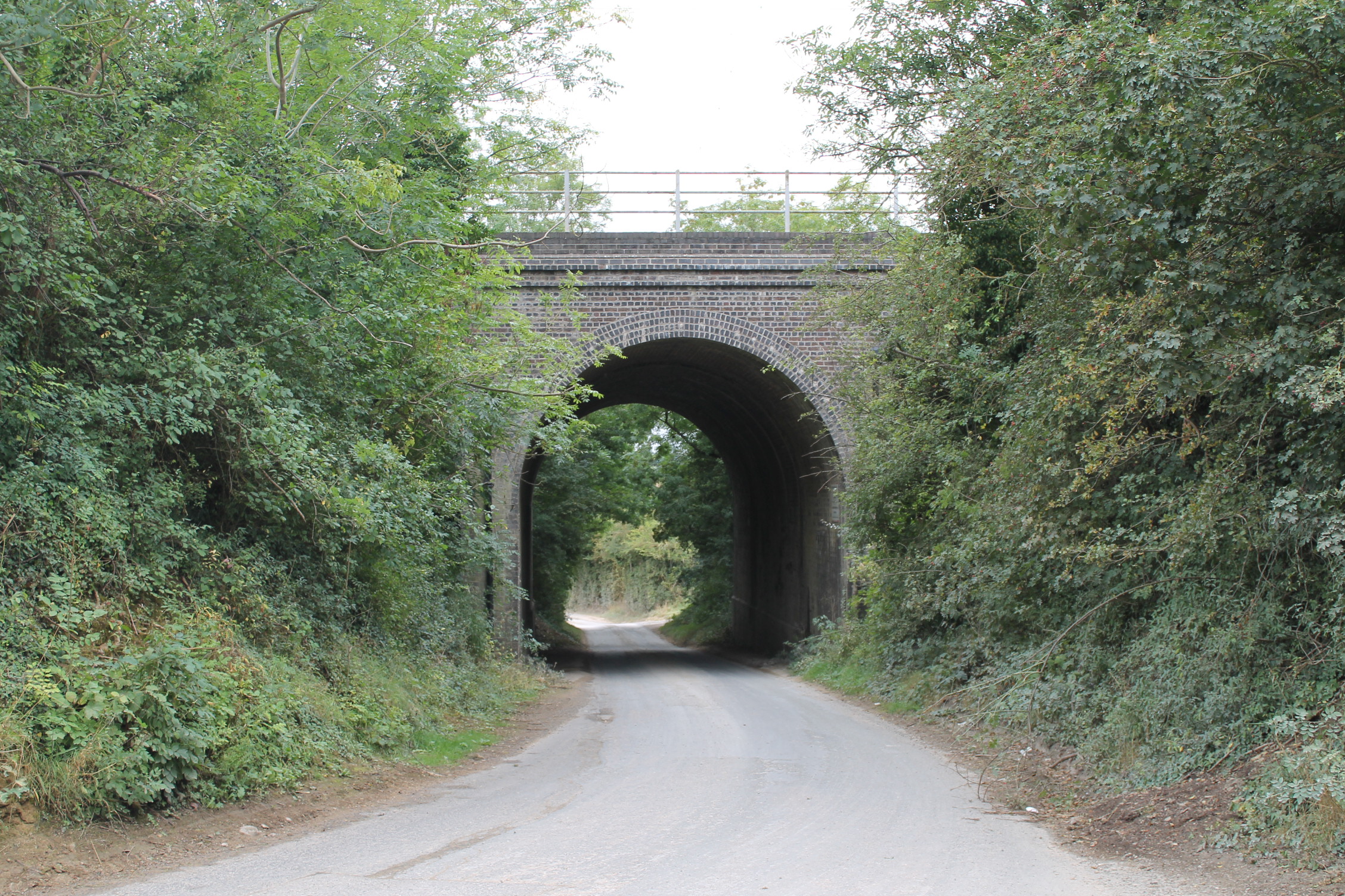
Castle Bytham railway station
Castle Bytham railway station was a station in Castle Bytham. It was Midland Railway property but train services were operated by the Midland and Great...
Counthorpe and Creeton
Counthorpe and Creeton is a civil parish in the South Kesteven district of Lincolnshire, England. According to the 2001 census it had a population of...
Related Videos

Stock Footage - A springtime drone flyby of woods in Lincolnshire, England, UHD 4K
Drone flyby of woodland near Little Bytham and Scottlethorpe with views of Grimsthorpe Castle & Edenham. This video is ...
Nearby Amenities
Located within 500m of 52.766857,-0.53529151Have you been to Cabbagehill Wood?
Leave your review of Cabbagehill Wood below (or comments, questions and feedback).