Beech Wood
Wood, Forest in Surrey Runnymede
England
Beech Wood
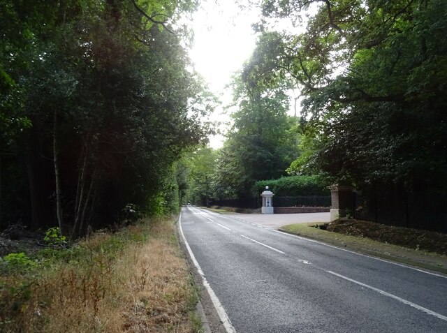
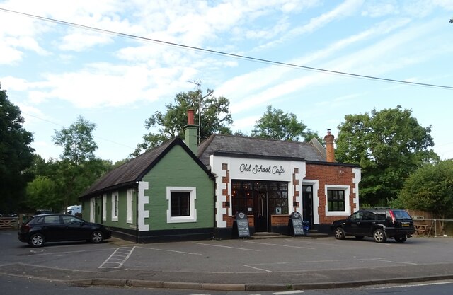
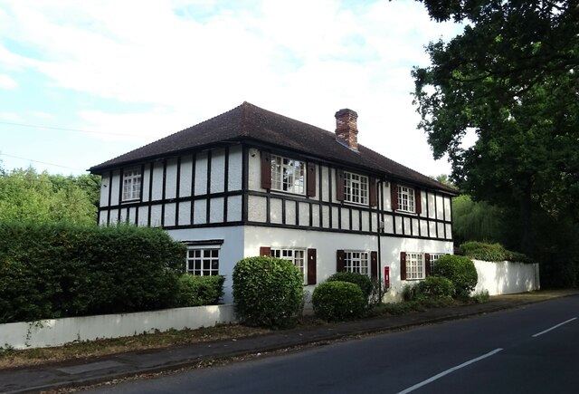
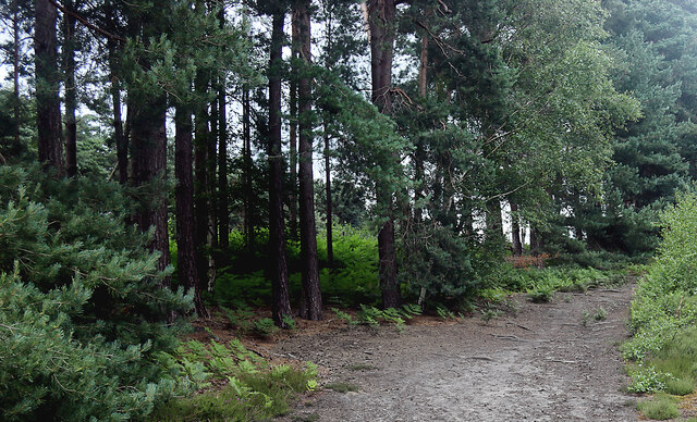
Beech Wood is a picturesque forest located in Surrey, England. It covers an area of approximately 100 hectares and is predominantly composed of beech trees, hence its name. The wood is known for its dense canopy of tall, majestic beech trees that provide a beautiful green landscape throughout the year.
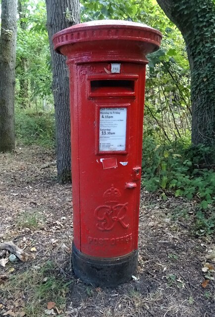
The wood is a popular destination for nature lovers and outdoor enthusiasts, offering a peaceful and tranquil environment for walking, hiking, and birdwatching. The forest is home to a diverse range of wildlife, including squirrels, deer, and various bird species.
One of the notable features of Beech Wood is its well-maintained network of walking trails that crisscross through the wood, allowing visitors to explore its natural beauty. These trails offer different levels of difficulty, catering to both casual walkers and more adventurous hikers.
The wood also houses a variety of plant species, such as bluebells and wild garlic, which bloom in the spring, creating a vibrant and colorful atmosphere. In addition to its natural beauty, Beech Wood is also of historical importance, with evidence of human activity dating back to prehistoric times.
Overall, Beech Wood, Surrey offers visitors a chance to escape the hustle and bustle of everyday life and immerse themselves in a peaceful and idyllic natural setting. Whether it's for a leisurely walk, a family picnic, or simply to appreciate the beauty of nature, Beech Wood is a destination that never fails to impress.
If you have any feedback on the listing, please let us know in the comments section below.
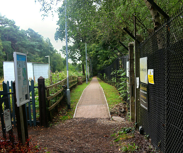
Beech Wood Images
Images are sourced within 2km of 51.389037/-0.58253697 or Grid Reference SU9866. Thanks to Geograph Open Source API. All images are credited.
Beech Wood is located at Grid Ref: SU9866 (Lat: 51.389037, Lng: -0.58253697)
Administrative County: Surrey
District: Runnymede
Police Authority: Surrey
What 3 Words
///cliff.spins.twins. Near Virginia Water, Surrey
Nearby Locations
Related Wikis

Wentworth Estate
The Wentworth Estate is a private estate of large houses set in about 7 square kilometres (2.7 sq mi) woodland, in Runnymede, Surrey. It was commenced...

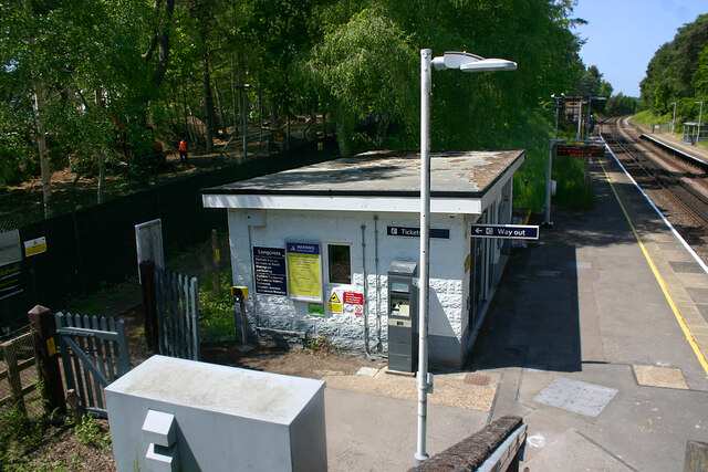
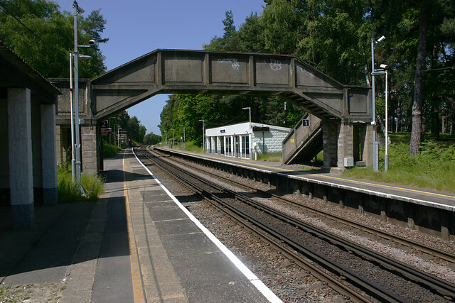
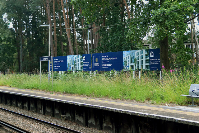
Longcross railway station
Longcross railway station is next to Longcross Garden Village (Upper Longcross) in Surrey, England. It straddles the former parishes of Virginia Water...

Military Vehicles and Engineering Establishment
The Military Vehicles and Engineering Establishment (MVEE) was a British defence research unit on Chobham Lane, Chertsey in Surrey. It was responsible...
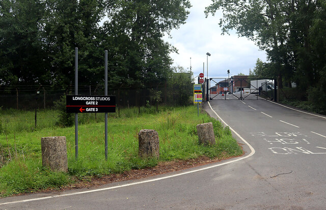
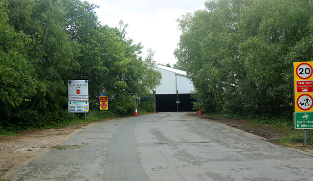
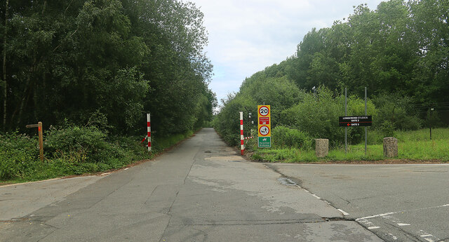
Longcross Studios
Longcross Film Studios is a film and television production facility in Longcross, Surrey, approximately 25 miles (40 km) west of central London. Built...
1953 Ryder Cup
The 10th Ryder Cup Matches were held 2–3 October 1953 at Wentworth Club in Virginia Water, Surrey, England, west of London. The United States team won...
Longcross
Longcross is a village in the Borough of Runnymede in Surrey, England, approximately 34.6 kilometres (21.5 mi) west of central London. Its name is thought...
1969 Piccadilly World Match Play Championship
The 1969 Piccadilly World Match Play Championship was the sixth World Match Play Championship. It was played from Thursday 9 to Saturday 11 October on...
1976 Piccadilly World Match Play Championship
The 1976 Piccadilly World Match Play Championship was the 13th World Match Play Championship. It was played from Thursday 7 to Saturday 9 October on the...
Nearby Amenities
Located within 500m of 51.389037,-0.58253697Have you been to Beech Wood?
Leave your review of Beech Wood below (or comments, questions and feedback).