Eastleigh
Settlement in Devon North Devon
England
Eastleigh

Eastleigh is a small village located in the county of Devon, England. Situated approximately 6 miles northeast of the city of Exeter, it falls within the East Devon district. The village is nestled in a picturesque countryside setting, surrounded by rolling hills and verdant fields.
Eastleigh boasts a rich history that dates back to medieval times. It is home to several historic buildings, including St. John the Baptist Church, which dates back to the 13th century and showcases stunning architectural features. The village also features a number of charming thatched cottages, adding to its traditional English village charm.
Despite its small size, Eastleigh offers a range of amenities for its residents and visitors. The village has a local pub, The Huntsman Inn, where one can enjoy a cozy atmosphere and traditional British pub fare. There is also a village hall that hosts community events and gatherings.
The surrounding area of Eastleigh is a haven for nature lovers and outdoor enthusiasts. The village is located near the East Devon Area of Outstanding Natural Beauty, providing ample opportunities for hiking, walking, and exploring the stunning countryside. The nearby River Otter is a popular spot for fishing and boating.
Eastleigh is well-connected to larger cities and towns in the region. The nearby city of Exeter offers a wider range of amenities and entertainment options, including shopping centers, restaurants, and cultural attractions. The village is also conveniently located near major transportation routes, making it easily accessible by road.
If you have any feedback on the listing, please let us know in the comments section below.
Eastleigh Images
Images are sourced within 2km of 51.031072/-4.158986 or Grid Reference SS4827. Thanks to Geograph Open Source API. All images are credited.


Eastleigh is located at Grid Ref: SS4827 (Lat: 51.031072, Lng: -4.158986)
Administrative County: Devon
District: North Devon
Police Authority: Devon and Cornwall
What 3 Words
///secondly.offstage.egging. Near Appledore, Devon
Related Wikis
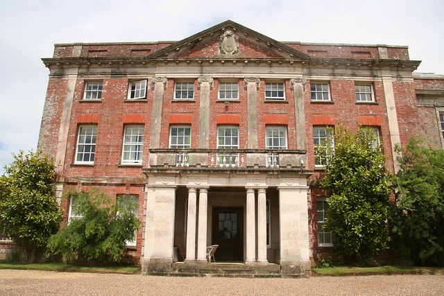
Tapeley
Tapeley is a historic estate in the parish of Westleigh in North Devon, England. The present mansion house known as Tapeley Park is a grade II* listed...

Westleigh, North Devon
Westleigh is a village and civil parish in the North Devon district, in the English County of Devon. Tapeley Park, a country house, is located within the...

Horwood, Devon
Horwood is a village and former civil parish, now in the parish of Horwood, Lovacott and Newton Tracey, in the North Devon district, in the county of Devon...

Southcott, North Devon
Southcott is a hamlet east of Bideford in the parish of Westleigh in the district of North Devon, in the county of Devon, England. The hamlet consists...
Nearby Amenities
Located within 500m of 51.031072,-4.158986Have you been to Eastleigh?
Leave your review of Eastleigh below (or comments, questions and feedback).