Brickhill Green
Wood, Forest in Hertfordshire Dacorum
England
Brickhill Green
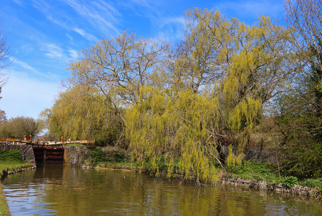
Brickhill Green is a small wooded area located in Hertfordshire, England. This green space is known for its dense forest, which is home to a variety of wildlife and plant species. The area is popular among locals for leisure activities such as hiking, birdwatching, and nature walks.
The forest in Brickhill Green is predominantly made up of oak, beech, and pine trees, creating a picturesque and tranquil environment for visitors to enjoy. The lush vegetation provides a habitat for a range of bird species, including woodpeckers, owls, and robins, making it a haven for birdwatchers.
The green space is well-maintained, with walking paths and trails that wind through the forest, allowing visitors to explore the natural beauty of the area. Additionally, there are picnic areas and benches scattered throughout the green, providing a peaceful spot for visitors to relax and enjoy the surroundings.
Overall, Brickhill Green in Hertfordshire offers a peaceful retreat from the hustle and bustle of city life, allowing visitors to immerse themselves in nature and enjoy the serene beauty of the forest.
If you have any feedback on the listing, please let us know in the comments section below.
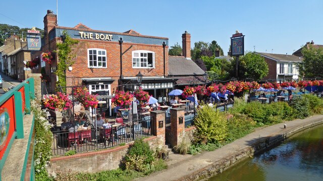
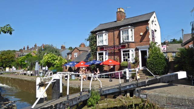
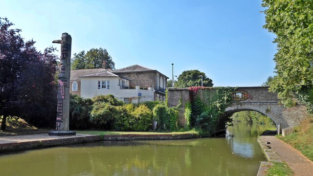
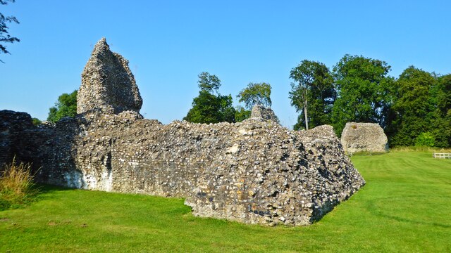
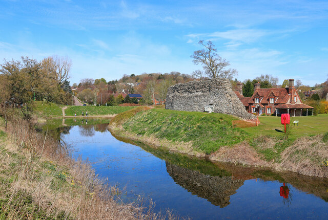
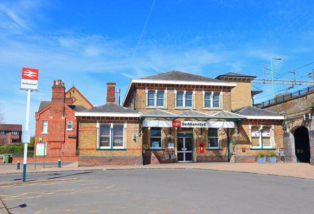
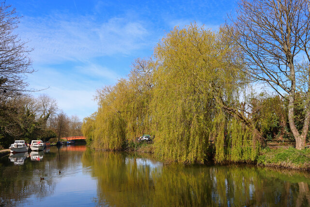
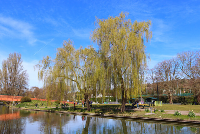
Brickhill Green Images
Images are sourced within 2km of 51.750605/-0.57291373 or Grid Reference SP9806. Thanks to Geograph Open Source API. All images are credited.


Brickhill Green is located at Grid Ref: SP9806 (Lat: 51.750605, Lng: -0.57291373)
Administrative County: Hertfordshire
District: Dacorum
Police Authority: Hertfordshire
What 3 Words
///cheesy.tasty.artichoke. Near Berkhamsted, Hertfordshire
Nearby Locations
Related Wikis
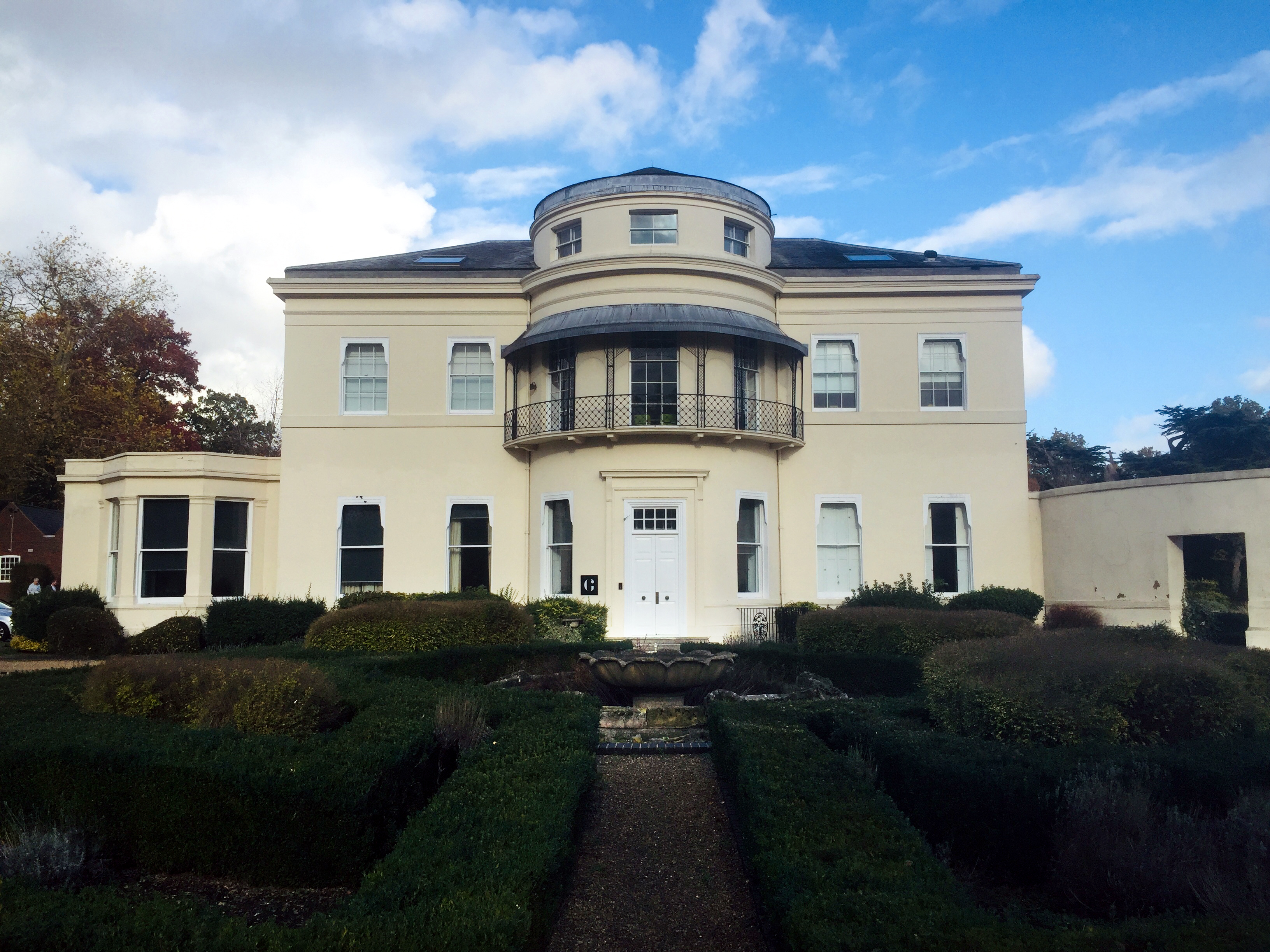
Ashlyns Hall
Ashlyns Hall is a country house at the edge of Berkhamsted in Hertfordshire, England. It is a Grade II* listed building. == History == The earliest local...
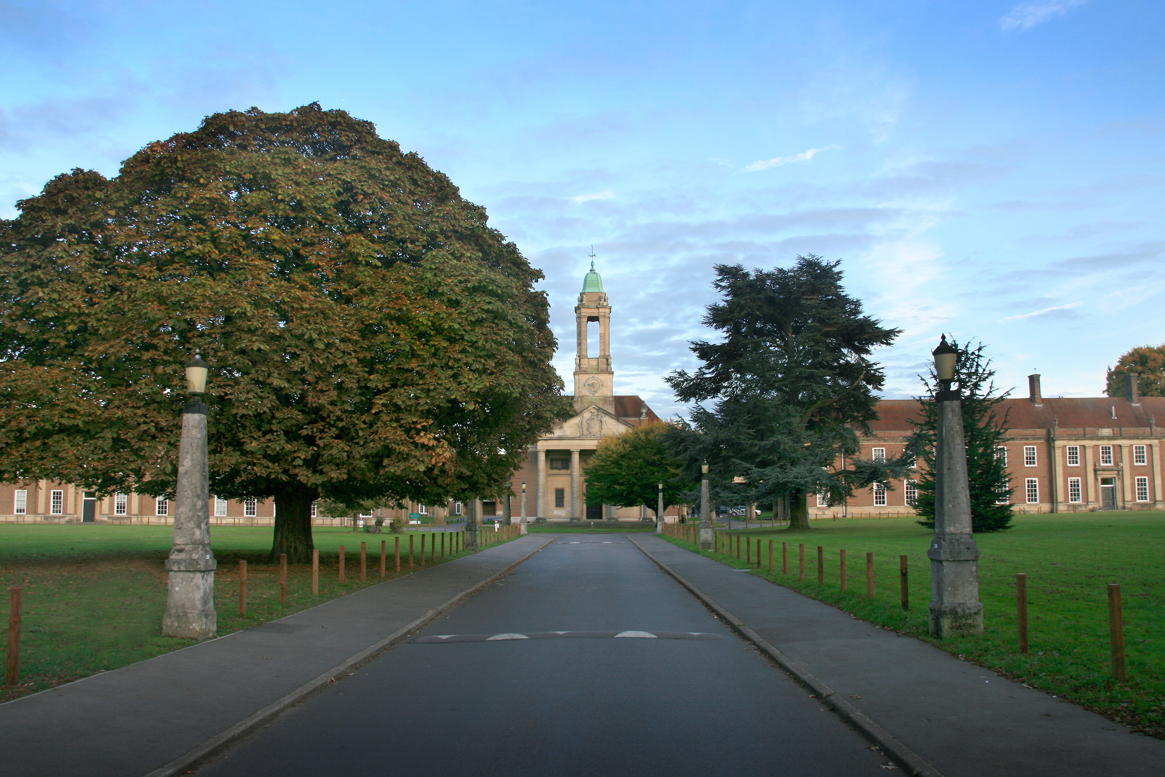
Ashlyns School
Ashlyns School is a mixed secondary school and sixth form located in Berkhamsted, Hertfordshire, England. The school was established in 1935 as the final...

Berkhamsted School
Berkhamsted School is a public school in Berkhamsted, Hertfordshire, England. The present school was formed in 1997 by the amalgamation of the original...
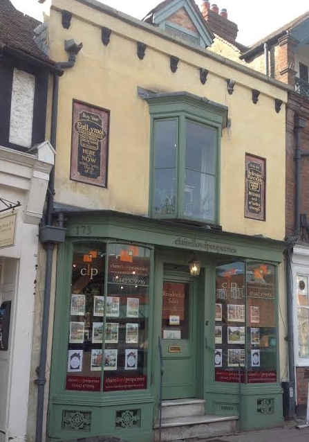
173, High Street, Berkhamsted
173, High Street, Berkhamsted, is a medieval building in Hertfordshire, England. It is considered to be the oldest extant jettied timber framed building...
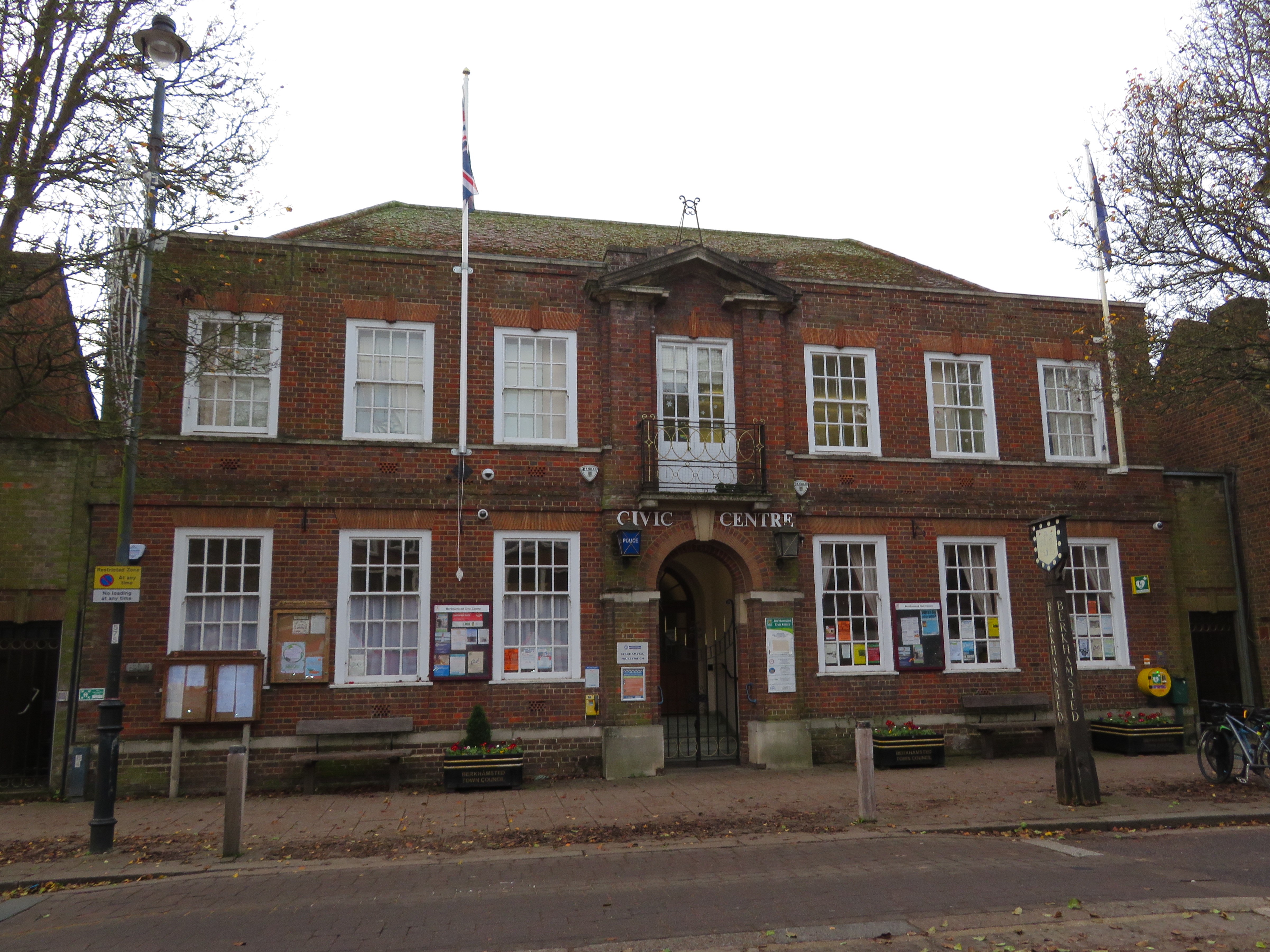
Berkhamsted Civic Centre
Berkhamsted Civic Centre is a municipal building in the High Street in Berkhamsted in Hertfordshire, England. The structure accommodates the offices and...
Egerton House, Berkhamsted
Egerton House was a small Elizabethan mansion which stood on the High Street in the town of Berkhamsted, Hertfordshire in England. Built during the reign...
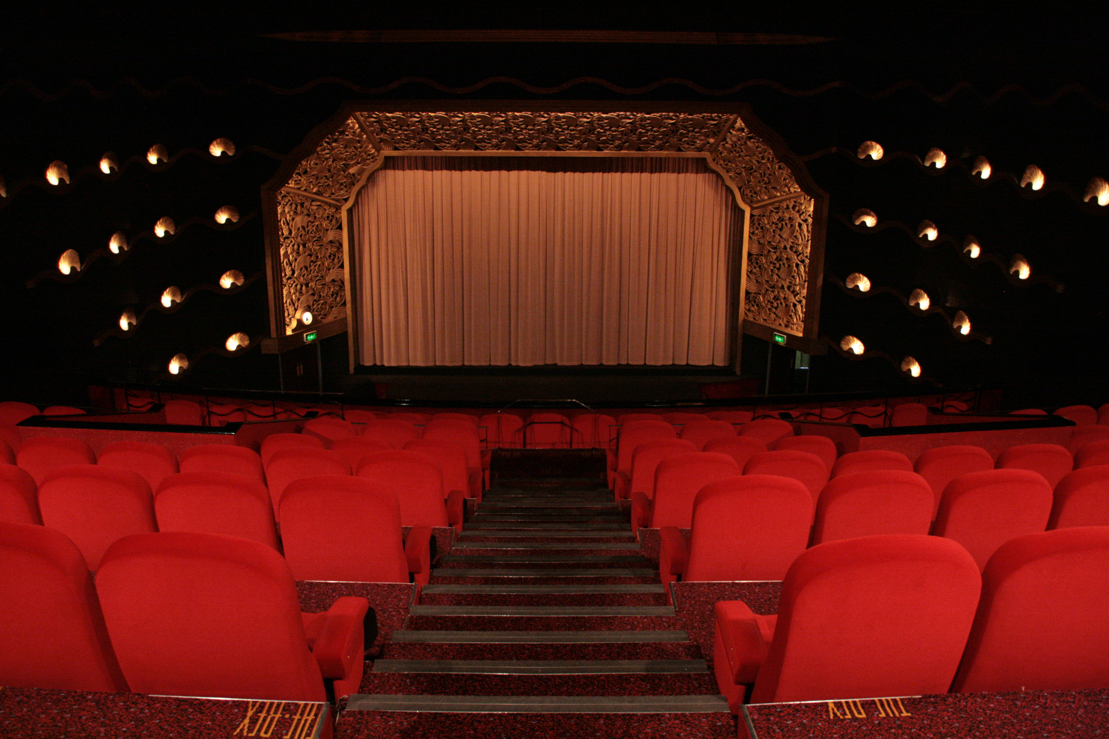
The Rex, Berkhamsted
The Rex is a cinema in the town of Berkhamsted, Hertfordshire, England. Designed in the art deco style by David Evelyn Nye in 1936, the cinema opened to...

Berkhamsted Town Hall
Berkhamsted Town Hall is a municipal building in the High Street, Berkhamsted, Hertfordshire, England. It is a Grade II listed building. == History... ==
Nearby Amenities
Located within 500m of 51.750605,-0.57291373Have you been to Brickhill Green?
Leave your review of Brickhill Green below (or comments, questions and feedback).