Traffords Covert
Wood, Forest in Lincolnshire
England
Traffords Covert

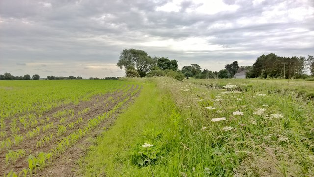
Traffords Covert is a picturesque woodland located in Lincolnshire, England. Covering an area of approximately 200 acres, the woodland is situated in the heart of the county, near the village of Wood. It is part of the larger Forest of Lincolnshire, renowned for its natural beauty and diverse wildlife.
Traffords Covert is characterized by its dense, ancient woodland, with towering trees providing a canopy that filters sunlight, creating a serene and tranquil atmosphere. The woodland is predominantly made up of native species such as oak, beech, and birch, which have thrived for centuries, giving the area a sense of history and enchantment.
The woodland is home to a wide variety of flora and fauna, making it a haven for nature enthusiasts. Visitors can expect to see an array of woodland plants, including bluebells, wild garlic, and wood anemones, which create a stunning carpet of color during the spring months. Squirrels, badgers, and foxes are among the mammals that call Traffords Covert their home, while birdwatchers can spot species such as woodpeckers, owls, and various songbirds.
There are several walking trails and pathways throughout the woodland, allowing visitors to explore its beauty at their own pace. These trails offer opportunities for peaceful walks, birdwatching, and photography, with benches and picnic spots available for those who wish to take a break and soak in the surroundings.
Traffords Covert is a true gem in Lincolnshire's natural landscape, offering a tranquil escape from the hustle and bustle of everyday life. It is a place where visitors can connect with nature, breathe in the fresh woodland air, and appreciate the beauty of the forest ecosystem.
If you have any feedback on the listing, please let us know in the comments section below.
Traffords Covert Images
Images are sourced within 2km of 53.524902/-0.51571199 or Grid Reference SE9804. Thanks to Geograph Open Source API. All images are credited.


Traffords Covert is located at Grid Ref: SE9804 (Lat: 53.524902, Lng: -0.51571199)
Unitary Authority: North Lincolnshire
Police Authority: Humberside
What 3 Words
///accent.paradise.chess. Near Hibaldstow, Lincolnshire
Nearby Locations
Related Wikis
Scawby railway station
Scawby railway station, also known as Scawby and Hibaldstow railway station, was a station in Scawby, Lincolnshire. It was located on the line between...
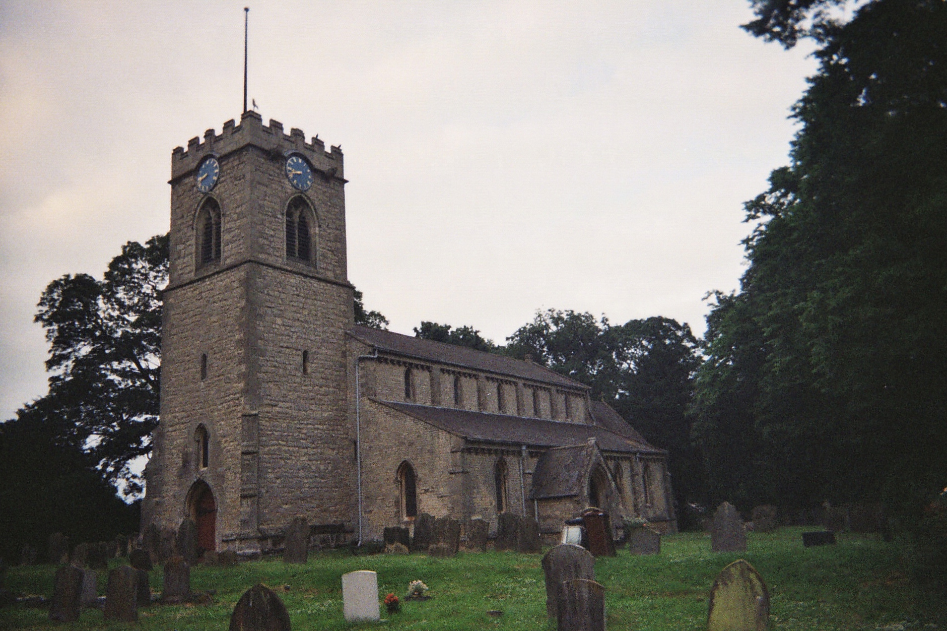
Hibaldstow
Hibaldstow is a village and civil parish in North Lincolnshire, England. The population of the civil parish at the 2011 census was 2,433. It is situated...

Newstead-on-Ancholme Priory
Newstead-on-Ancholme Priory was a priory in Lincolnshire, England. The Gilbertine priory of Holy Trinity, Newstead-on-Ancholme, was founded for Gilbertine...
Sturton, North Lincolnshire
Sturton is a village in the civil parish of Scawby, North Lincolnshire, England. It lies 2.5 miles (4.0 km) south-west from Brigg, 0.5 miles (0.8 km) south...
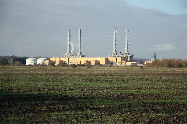
Glanford Brigg Power Station
Glanford Brigg Power Station (also known as Brigg Power Station) is a gas-fired power station in North Lincolnshire, England. It is capable of firing diesel...
Scawby
Scawby is a village and civil parish in North Lincolnshire, England. It is situated 2 miles (3 km) south-west from Brigg, and just east from the A15 road...
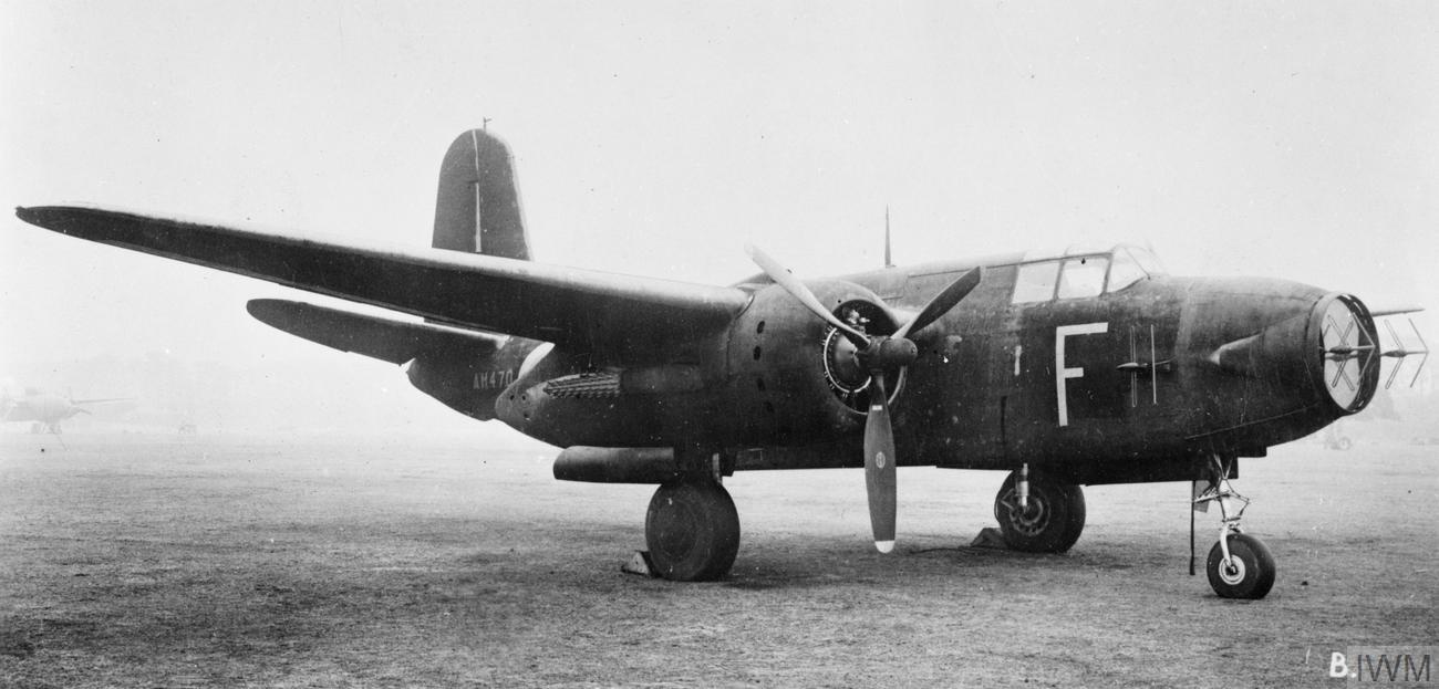
RAF Hibaldstow
Royal Air Force Hibaldstow or more simply RAF Hibaldstow is a former Royal Air Force satellite station located south of Hibaldstow in Lincolnshire and...

Cadney
Cadney is a village and civil parish in the North Lincolnshire district, in the county of Lincolnshire, England. The population of the parish at the 2011...
Related Videos

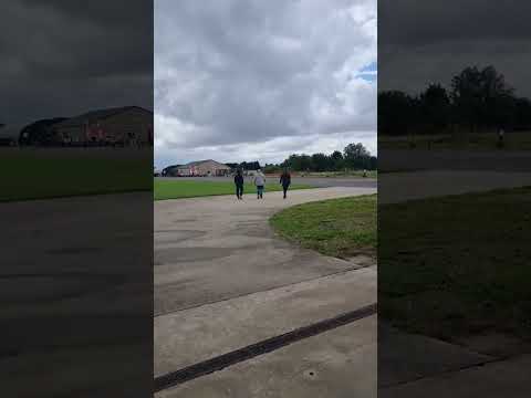
BBMF Lancaster low fly by
BBMF Avro Lancaster on its way from Blyton to Elsham Wolds on the 16/5/2023 for the 80th anniversary of the Dambusters.

#SkyDive in the UK #Adrenaline Rush, പടച്ചോനെ ഇങ്ങള് കത്തോളിൻ #Dreamscometrue😍✈️❣️
Venue: https://www.skydiving.co.uk/prices/ Post Code: DN20 9NN Price: Midweek Tandem(15000ft) £179, (10000ft) £169, Friday ...

My first Tandem Skydive at 15,000ft - Skydive Hibaldstow
The Best Experience!
Nearby Amenities
Located within 500m of 53.524902,-0.51571199Have you been to Traffords Covert?
Leave your review of Traffords Covert below (or comments, questions and feedback).