Burgate Hanger

Wood, Forest in Surrey Waverley

England

Burgate Hanger

Church of St Peter
Church of St Peter Credit: Alex McGregor

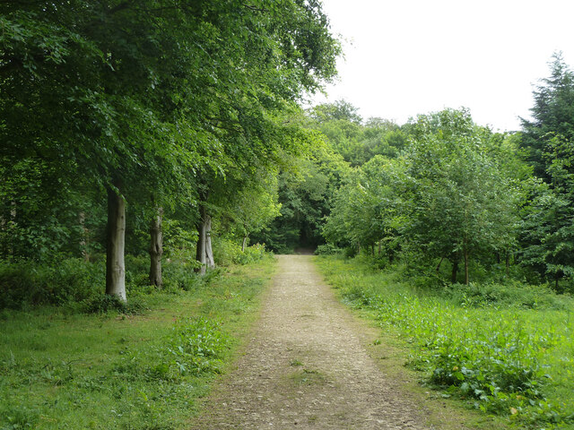
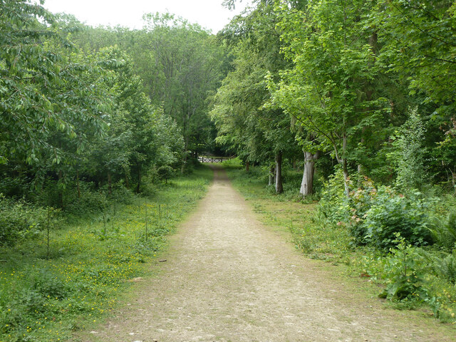
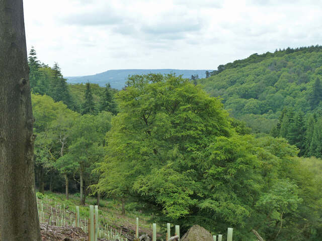
Burgate Hanger, located in Surrey, England, is a picturesque woodland area that is renowned for its natural beauty and abundant wildlife. It is a designated Site of Special Scientific Interest (SSSI) due to its ecological importance and outstanding natural features.

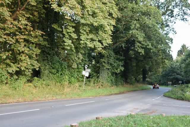
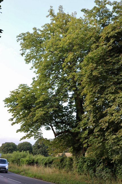
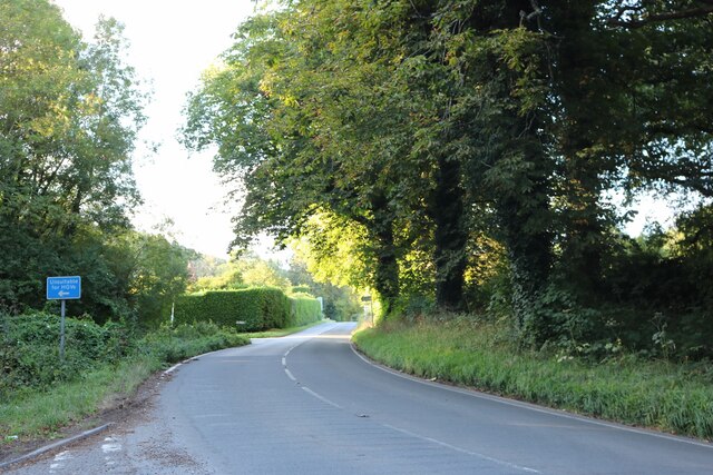
Covering an area of approximately 120 acres, Burgate Hanger is characterized by its dense and diverse woodland, consisting primarily of oak, beech, and hazel trees. The hanger's name is derived from the Old English word "henge," meaning a steep wooded slope, which accurately describes the terrain of this enchanting forest.

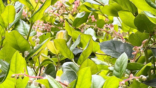
The woodland floor is adorned with a rich carpet of bluebells, wood anemones, and other wildflowers during the spring, creating a breathtaking display of color. The hanger also boasts a variety of ferns, mosses, and lichens, adding to its biodiversity.

The forest is home to a wide range of wildlife, making it a popular destination for nature enthusiasts and birdwatchers. Visitors may spot woodland birds such as woodpeckers, owls, and various songbirds. Mammals including deer, foxes, and squirrels can also be spotted within the hanger.

Burgate Hanger offers numerous walking trails and footpaths, allowing visitors to explore its natural wonders at their own pace. The forest is well-maintained, with clear signage and information boards providing insight into the area's history, flora, and fauna.

Overall, Burgate Hanger in Surrey is a natural gem, offering a peaceful and immersive woodland experience for those seeking to connect with nature and escape the hustle and bustle of everyday life.

If you have any feedback on the listing, please let us know in the comments section below.

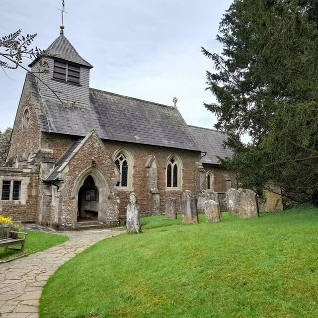
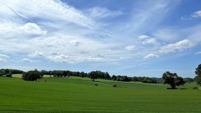
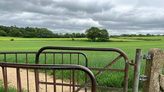
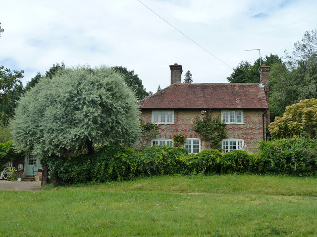
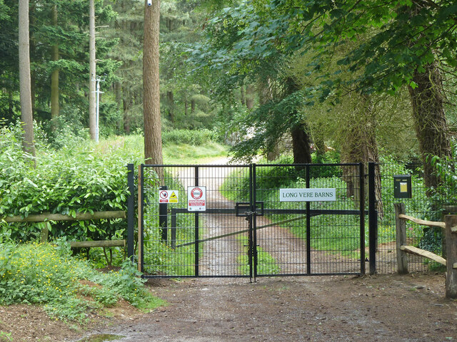
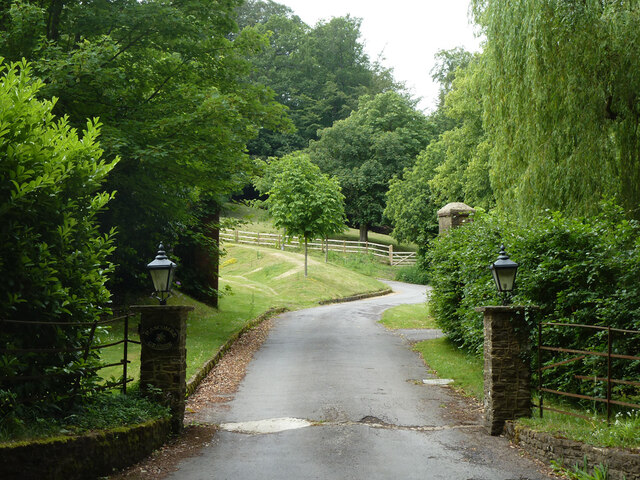
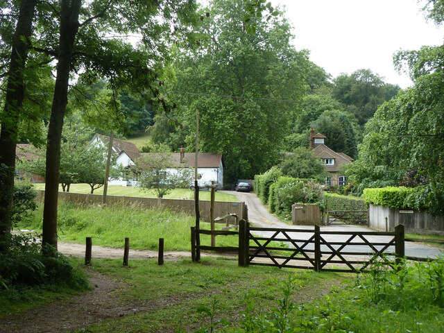
Burgate Hanger Images

Images are sourced within 2km of 51.137728/-0.59540599 or Grid Reference SU9838. Thanks to Geograph Open Source API. All images are credited.

Church of St Peter
Church of St Peter
Horses south of Little Burgate Farm
Fields south of Fourteen Acre Copse
Gate on path east of Court Farm - view to the east There's a very clear, neat path through the cultivated fields on either side of this gate.
Gate on path east of Court Farm - view to the east
There's a very clear, neat path through the cultivated fields on either side of this gate.
Shallon - Gaultheria shallon - near Hydon's Ball I've never seen this plant before. I think I've got the identification right, but I'm happy to be corrected. Shallon is a naturalised native of western North America. A member of the heather family, it grows on acid soils and is regarded as somewhat invasive. It certainly seemed to be dominant here, growing in profusion on either side of the path.
Shallon - Gaultheria shallon - near Hydon's Ball
I've never seen this plant before. I think I've got the identification right, but I'm happy to be corrected. Shallon is a naturalised native of western North America. A member of the heather family, it grows on acid soils and is regarded as somewhat invasive. It certainly seemed to be dominant here, growing in profusion on either side of the path.
Barns at Red Leaf Farm A non-farming farm now.
Barns at Red Leaf Farm
A non-farming farm now.
Hedge and field east of Hook House Lane
Raswell Cottage, Loxhill Fronted by a very small green on the B2130, Godalming Road.
Raswell Cottage, Loxhill
Fronted by a very small green on the B2130, Godalming Road.
Gated entrance to Long Vere Barns Off the B2130, Godalming Road.
Gated entrance to Long Vere Barns
Off the B2130, Godalming Road.
Entrance to Hascombe Grange Off the B2130, Godalming Road.
Entrance to Hascombe Grange
Off the B2130, Godalming Road.
Permissive path, Hascombe Hill There is a car park just off to the left. Looking back to Godalming Road, B2130.
Permissive path, Hascombe Hill
There is a car park just off to the left. Looking back to Godalming Road, B2130.
Permissive path, Hascombe Hill Running from the car park on Godalming Road.
Permissive path, Hascombe Hill
Running from the car park on Godalming Road.
Permissive path, Hascombe Hill Looking back to Godalming Road, B2130, where there is a car park.
Permissive path, Hascombe Hill
Looking back to Godalming Road, B2130, where there is a car park.
View south-west from Hascombe Hill The distant hill must be Blackdown.
View south-west from Hascombe Hill
The distant hill must be Blackdown.
Old Milepost by the B2130, Godalming Road, Hascombe Parish Cast iron post by the B2130, in parish of HASCOMBE (WAVERLEY District), Godalming Road, by Deer Park Cottage, high on wood side bank, on East side of road. Guildford iron casting, erected by the Godalming & Painshill turnpike trust in the 19th century. 

Inscription reads:- : HORSHAM / 14 : : BRIGHTON / 36 : : GODALMING / 4 : : WILLIAMS & FILMER / GUILDFORD / FOUNDRY. :  

Milestone Society National ID: SY_HOGO14.
Old Milepost by the B2130, Godalming Road, Hascombe Parish
Cast iron post by the B2130, in parish of HASCOMBE (WAVERLEY District), Godalming Road, by Deer Park Cottage, high on wood side bank, on East side of road. Guildford iron casting, erected by the Godalming & Painshill turnpike trust in the 19th century. Inscription reads:- : HORSHAM / 14 : : BRIGHTON / 36 : : GODALMING / 4 : : WILLIAMS & FILMER / GUILDFORD / FOUNDRY. : Milestone Society National ID: SY_HOGO14.
Godalming Road, Loxhill
Tree by Godalming Road, Loxhill
Godalming Road, Loxhill
Show me another place!

Burgate Hanger is located at Grid Ref: SU9838 (Lat: 51.137728, Lng: -0.59540599)

Administrative County: Surrey

District: Waverley

Police Authority: Surrey

What 3 Words

///forkful.chain.escalates. Near Chiddingfold, Surrey

Nearby Locations

Burgate Hanger

Related Wikis

Hydon's Ball

Hydon's Ball is a 179-metre-high (587 ft) hill covering most of Hydon Heath in Hydestile, Surrey, England. == Description == The hill on Hydon Heath, Hydestile...

Hambledon, Surrey

Hambledon is a rural scattered village in the Waverley borough of Surrey, situated south of Guildford. It is dominated by a buffer zone of fields and woodland...

Hascombe Court

Hascombe Court is a 172-acre (70 ha) estate in Hascombe, Surrey, best known for its vast garden designed by Gertrude Jekyll. Hascombe Court is listed Grade...

Oakhurst Cottage

Oakhurst Cottage is a tiny 16th or 17th-century cottage in Hambledon, Surrey, in the United Kingdom. It is a Grade II listed building.The cottage was given...

Hascombe Hill

Hascombe Hill or Hascombe Camp is the site of an Iron Age multivallate hill fort close to the village of Hascombe in Surrey, England. == History == The...

Hascombe

Hascombe is a village and civil parish in Surrey, England. It is around 3 miles (4.8 km) southeast of Godalming in the Borough of Waverley. The settlement...

St Dominic's School

St. Dominic's School in Hambledon, Surrey, England is a co-educational day school, one of the oldest special schools in the United Kingdom. It specialises...

Hydestile

Hydestile is a hamlet in Waverley, south-west Surrey. It is around 2+1⁄2 miles (4.0 km) south of Godalming between the villages of Busbridge and Hambledon...

Nearby Amenities

Located within 500m of 51.137728,-0.59540599
Upper Vann
Place: locality
Lat/Long: 51.1376286/-0.5986609
The data included in this document is from www.openstreetmap.org. The data is made available under ODbL.

Have you been to Burgate Hanger?

Leave your review of Burgate Hanger below (or comments, questions and feedback).