Boothby Little Wood

Wood, Forest in Lincolnshire South Kesteven

England

Boothby Little Wood

Track towards Boothby Lodge Farm Crossing the West Glen River in the dip
Track towards Boothby Lodge Farm Credit: Tim Heaton

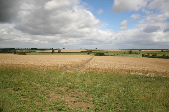
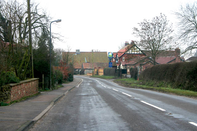
Boothby Little Wood is a picturesque woodland area located in the county of Lincolnshire, England. Situated near the village of Boothby Graffoe, it covers a total area of approximately 100 acres. This ancient woodland is known for its rich biodiversity and serene atmosphere, making it a popular destination for nature enthusiasts and walkers.

The woodland is predominantly composed of native broadleaf trees such as oak, ash, and beech, which have been growing there for centuries. These trees provide a dense canopy that allows minimal sunlight to reach the forest floor, creating a cool and damp environment. The undergrowth is abundant with ferns, mosses, and wildflowers, adding to the woodland's enchanting beauty.

Boothby Little Wood is home to a diverse range of wildlife. Numerous bird species can be spotted within the woodland, including woodpeckers, owls, and various songbirds. The forest is also inhabited by mammals like badgers, foxes, and deer, which can often be seen grazing among the trees.

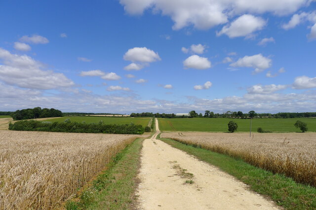
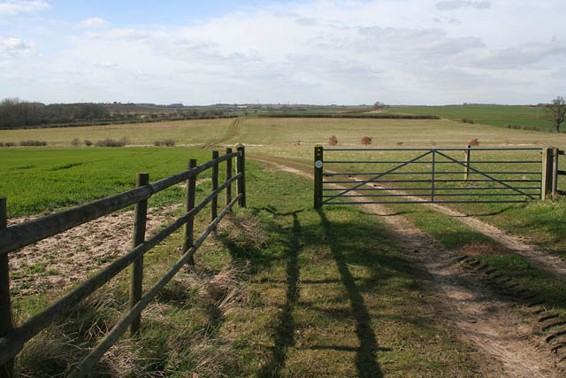
The woodland is crisscrossed by a network of walking trails, allowing visitors to explore its natural wonders at their own pace. These paths lead to hidden clearings, babbling brooks, and even a small pond, enhancing the woodland's charm. Additionally, there are several designated picnic areas and benches scattered throughout the forest, providing visitors with the opportunity to relax and soak in the tranquil ambiance.

Boothby Little Wood is a true gem of Lincolnshire, offering a peaceful retreat for those seeking solace in nature's embrace.

If you have any feedback on the listing, please let us know in the comments section below.

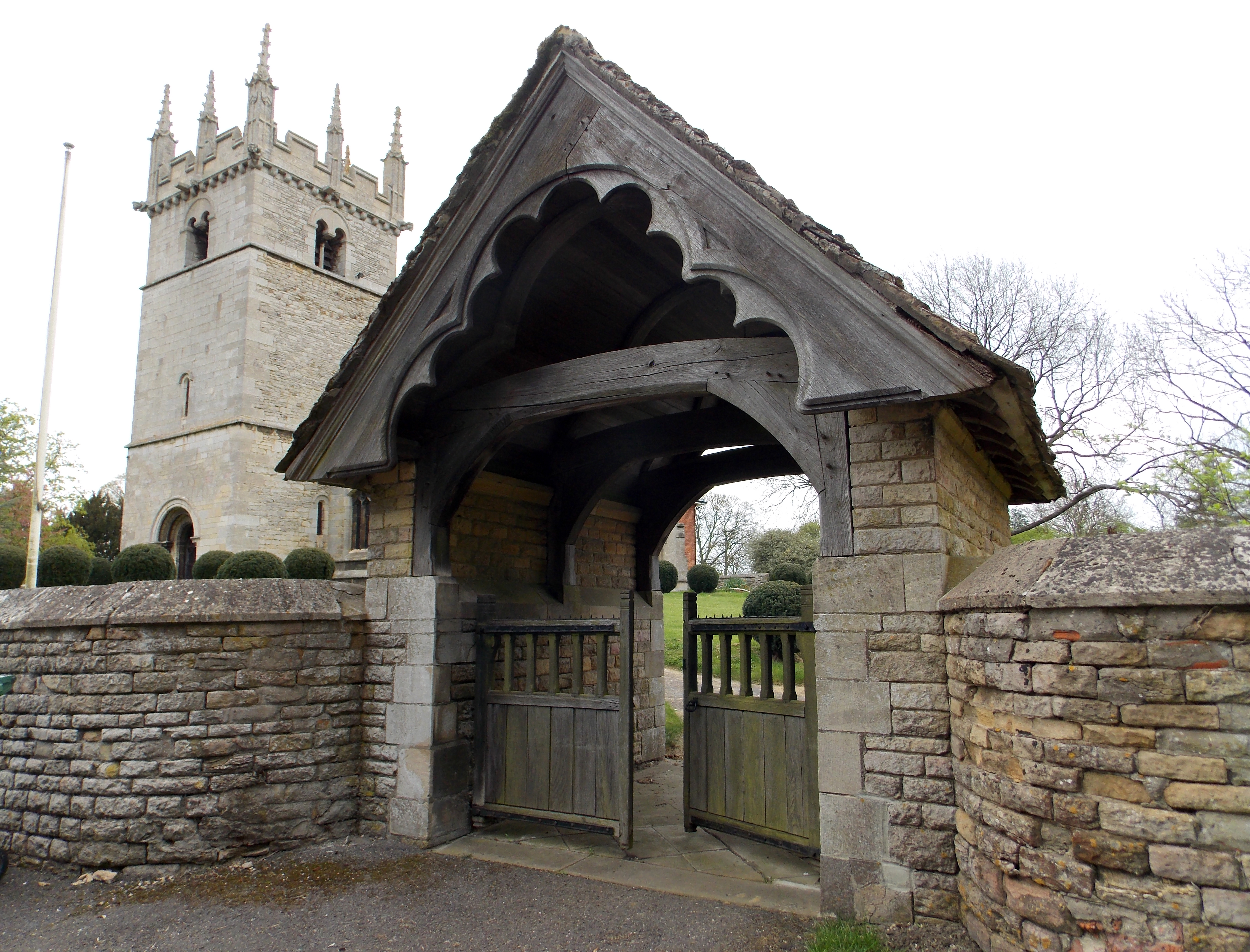
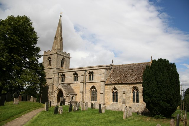
Boothby Little Wood Images

Images are sourced within 2km of 52.870328/-0.5450167 or Grid Reference SK9831. Thanks to Geograph Open Source API. All images are credited.

Track towards Boothby Lodge Farm Crossing the West Glen River in the dip
Track towards Boothby Lodge Farm
Crossing the West Glen River in the dip
I hate some folk Look at this catering rubbish dumped on private land with no thought at all.
I hate some folk
Look at this catering rubbish dumped on private land with no thought at all.
Harrowing field next to Ingoldsby Wood The productive farmland of the Kesteven Uplands
Harrowing field next to Ingoldsby Wood
The productive farmland of the Kesteven Uplands
The B1176, Bitchfield
Bridleway near Bitchfield This bridleway leads from the B1176 to Boothby Pagnell along this serviceable farm track. The West Glen River runs in the dip across the centre of the photograph.
Bridleway near Bitchfield
This bridleway leads from the B1176 to Boothby Pagnell along this serviceable farm track. The West Glen River runs in the dip across the centre of the photograph.
The Old School near Bitchfield A public footpath runs up to the house and on towards Boothby Pagnell following the West Glen River.
The Old School near Bitchfield
A public footpath runs up to the house and on towards Boothby Pagnell following the West Glen River.
Saint Andrew's Church, Boothby Pagnell This Anglican parish church is dedicated to St. Andrew. Some portions of the building date back to 1330. The church was restored in 1895, and seats about 120 people.
Saint Andrew's Church, Boothby Pagnell
This Anglican parish church is dedicated to St. Andrew. Some portions of the building date back to 1330. The church was restored in 1895, and seats about 120 people.
Ingoldsby Wood. Bridleway running alongside Ingoldsby wood.
Ingoldsby Wood.
Bridleway running alongside Ingoldsby wood.
Ingoldsby Round Hills. Ingoldsby Round Hills site consists of a circular ditch and rampart and has been variously speculated as being an Iron Age hill fort, a Viking enclosure and a Civil War enclosure for Cromwellian troops.
Ingoldsby Round Hills.
Ingoldsby Round Hills site consists of a circular ditch and rampart and has been variously speculated as being an Iron Age hill fort, a Viking enclosure and a Civil War enclosure for Cromwellian troops.
Footpath near Humby, Lincolnshire A pleasant country walk along a small steam to Kirton Wood in <a href="https://www.geograph.org.uk/gridref/SK9832">SK9832</a>.
Footpath near Humby, Lincolnshire
A pleasant country walk along a small steam to Kirton Wood in SK9832.
Young cattle at Home Farm, Boothby Pagnell Also known as Manor Farm.
Young cattle at Home Farm, Boothby Pagnell
Also known as Manor Farm.
Farmland near Boothby Pagnell Looking towards the village.
Farmland near Boothby Pagnell
Looking towards the village.
Ready for harvesting Farmland off the B1176 near Boothby Pagnell.
Ready for harvesting
Farmland off the B1176 near Boothby Pagnell.
B1176 looking towards Old Somerby
Countryside at Brackenbury Fields Boothby Little Wood on the far left.
Countryside at Brackenbury Fields
Boothby Little Wood on the far left.
Brackenbury Fields, Boothby Pagnell A large mixed farm which breeds Texel sheep. See <span class="nowrap"><a title="http://www.texel.co.uk/thebreed/thebreed.php" rel="nofollow ugc noopener" href="http://www.texel.co.uk/thebreed/thebreed.php">Link</a><img style="margin-left:2px;" alt="External link" title="External link - shift click to open in new window" src="https://s1.geograph.org.uk/img/external.png" width="10" height="10"/></span>  for history of the breed.
Brackenbury Fields, Boothby Pagnell
A large mixed farm which breeds Texel sheep. See LinkExternal link for history of the breed.
Ploughed field between Old Somerby and Boothby Pagnell A sea mist has rolled in from the east coast and only a ghostly impression of the countryside is visible.
Ploughed field between Old Somerby and Boothby Pagnell
A sea mist has rolled in from the east coast and only a ghostly impression of the countryside is visible.
Farm track near Boothby Little Wood This track meets The Mereway, an ancient right of way, at the end of the hedge.
Farm track near Boothby Little Wood
This track meets The Mereway, an ancient right of way, at the end of the hedge.
Show me another place!

Boothby Little Wood is located at Grid Ref: SK9831 (Lat: 52.870328, Lng: -0.5450167)

Administrative County: Lincolnshire

District: South Kesteven

Police Authority: Lincolnshire

What 3 Words

///private.lads.slowly. Near Corby Glen, Lincolnshire

Nearby Locations

Boothby Little Wood

Related Wikis

Boothby Pagnell

Boothby Pagnell is a village and civil parish in the South Kesteven district of Lincolnshire, England. The population is now included in the civil parish...

Bitchfield and Bassingthorpe

Bitchfield and Bassingthorpe is a civil parish which includes Boothby Pagnell and Burton Coggles in the South Kesteven district of Lincolnshire, England...

Bitchfield

Bitchfield is a small village in the South Kesteven district of Lincolnshire, England. It consists of two groups of buildings connected by Dark Lane, known...

Little Humby

Little Humby or Humby is a hamlet in the South Kesteven district of Lincolnshire, England. It lies in the civil parish of Ropsley and Humby, 5 miles (8...

Old Somerby

Old Somerby (pronounced Summerby) is a village and civil parish in the South Kesteven district of Lincolnshire, England, 3 miles (5 km) south-east of Grantham...

Bassingthorpe

Bassingthorpe is a small village in the South Kesteven district of Lincolnshire, England. It is in the civil parish of Bitchfield and Bassingthorpe, 5...

Westby, Lincolnshire

Westby is a hamlet in the civil parish of Bitchfield and Bassingthorpe, in the South Kesteven district of Lincolnshire, England. It is situated approximately...

Great Humby

Great Humby is a hamlet in the South Kesteven district of Lincolnshire, England. It lies in the civil parish of Ropsley and Humby, 6 miles (9.7 km) east...

Have you been to Boothby Little Wood?

Leave your review of Boothby Little Wood below (or comments, questions and feedback).