Berryend Plantation
Wood, Forest in Bedfordshire
England
Berryend Plantation
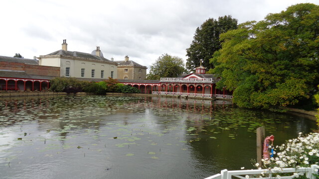
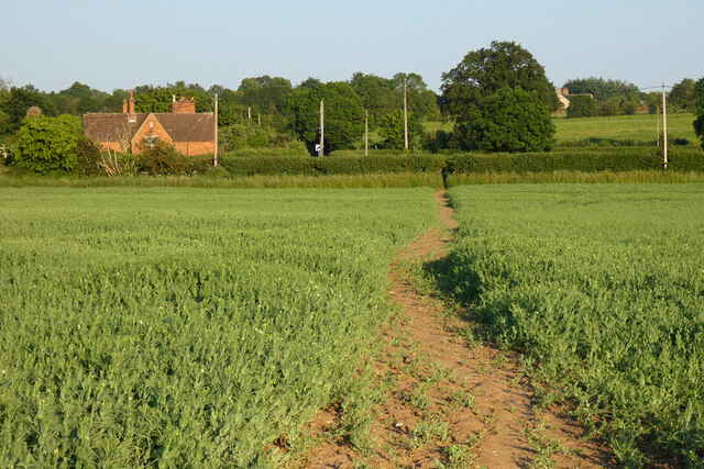
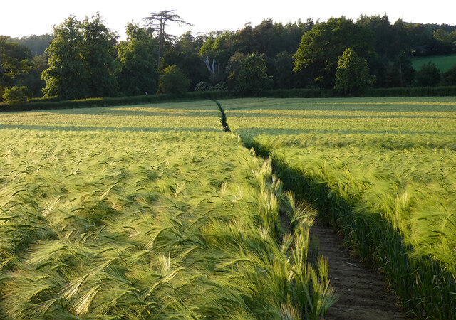
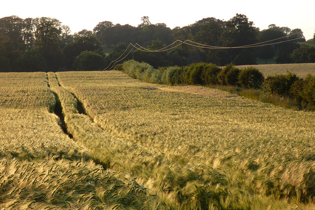
Berryend Plantation is a picturesque woodland located in Bedfordshire, England. Covering an area of approximately 100 acres, it is a well-maintained forest that offers a tranquil escape from the hustle and bustle of everyday life. The plantation is situated near the village of Berry End, which is known for its charming rural character.
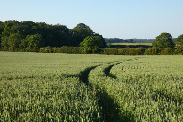
The woodland is predominantly composed of a variety of native tree species, including oak, ash, birch, and beech. These trees create a diverse and vibrant ecosystem that supports a wide range of wildlife. Visitors to the plantation can expect to encounter various bird species, such as woodpeckers, owls, and thrushes, as well as small mammals like squirrels and rabbits.
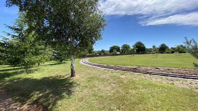
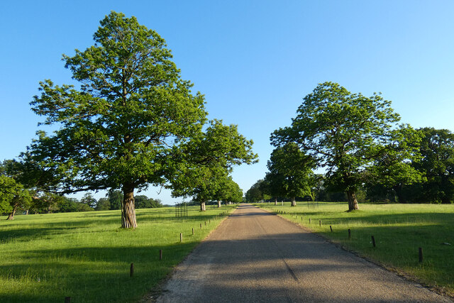
Berryend Plantation offers several well-marked walking trails that allow visitors to explore the natural beauty of the area. These paths wind through the forest, offering glimpses of enchanting wildflowers and ferns along the way. The plantation is also home to a small pond, which provides a habitat for aquatic creatures and attracts additional bird species.
The woodland is open to the public throughout the year and is a popular destination for nature enthusiasts, walkers, and families. It provides an ideal setting for outdoor activities such as picnicking, birdwatching, and photography. The plantation is well-maintained, with regular tree management and conservation efforts ensuring its long-term health and sustainability.
Overall, Berryend Plantation is a captivating woodland that offers a peaceful and immersive natural experience. Its rich biodiversity and well-preserved ecosystem make it a valuable asset to the local community and a cherished destination for nature lovers.
If you have any feedback on the listing, please let us know in the comments section below.
Berryend Plantation Images
Images are sourced within 2km of 51.996875/-0.57593398 or Grid Reference SP9734. Thanks to Geograph Open Source API. All images are credited.


Berryend Plantation is located at Grid Ref: SP9734 (Lat: 51.996875, Lng: -0.57593398)
Unitary Authority: Central Bedfordshire
Police Authority: Bedfordshire
What 3 Words
///mild.crawling.geek. Near Eversholt, Bedfordshire
Nearby Locations
Related Wikis

Froxfield, Bedfordshire
Froxfield is a small hamlet in Bedfordshire, England. == References == The geographic coordinates are from the Ordnance Survey.
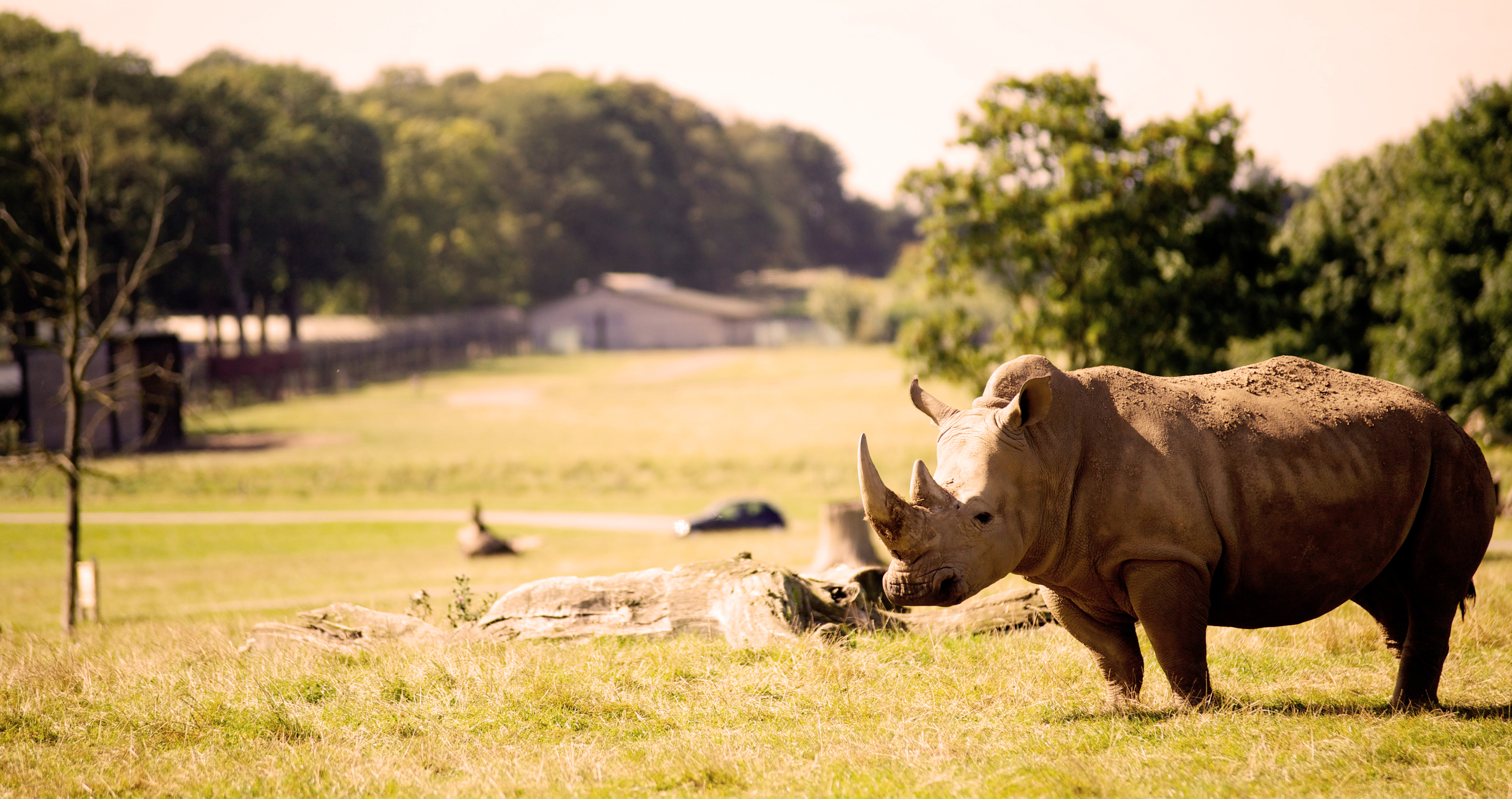
Woburn Safari Park
Woburn Safari Park is a safari park located in Woburn, Bedfordshire, England. Visitors to the park can drive through exhibits, which contain species such...
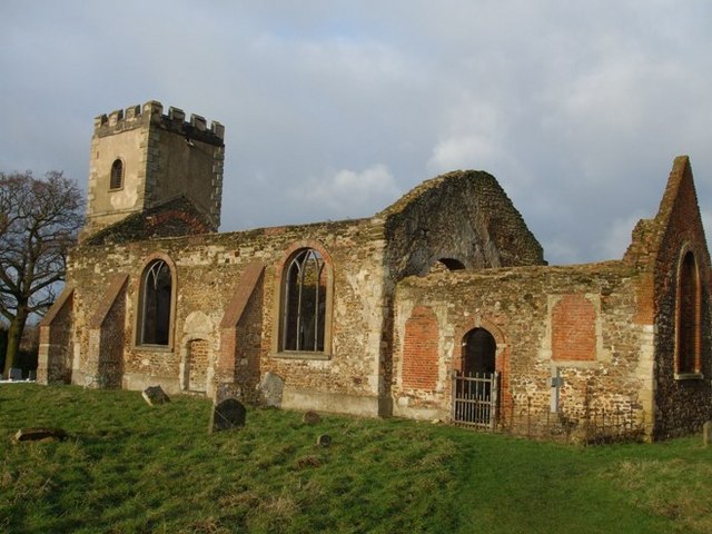
All Saints Church, Segenhoe
All Saints Church, Segenhoe is a ruined medieval church located near the village of Ridgmont, Bedfordshire. It contains architectural details that range...

Ridgmont
Ridgmont is a small village and civil parish in Bedfordshire, England. It is located beside junction 13 of the M1 motorway, and close to Milton Keynes...
Nearby Amenities
Located within 500m of 51.996875,-0.57593398Have you been to Berryend Plantation?
Leave your review of Berryend Plantation below (or comments, questions and feedback).