Broomfield Spring

Wood, Forest in Hertfordshire Dacorum

England

Broomfield Spring

B4506 New Road Northwards across the extensive Northchurch Common.
B4506 New Road Credit: Robin Webster

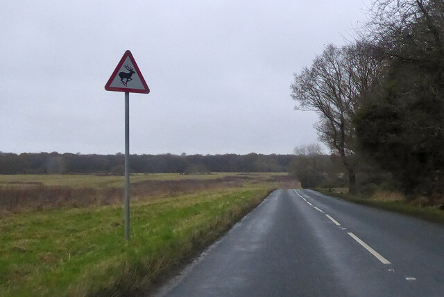
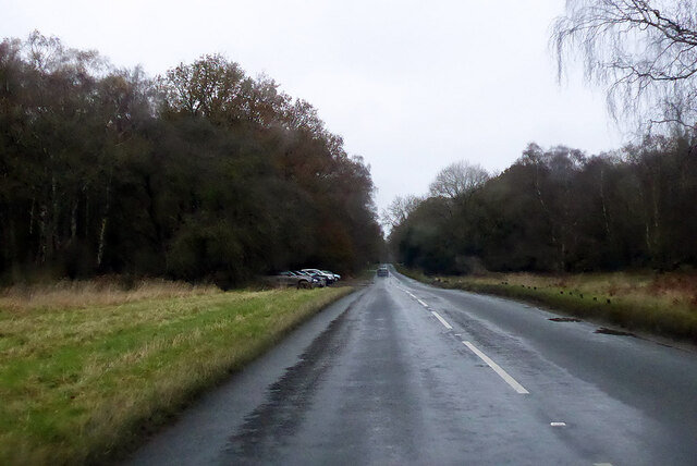
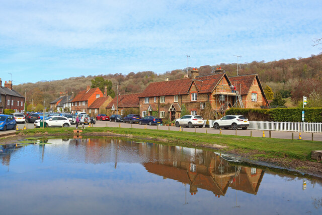
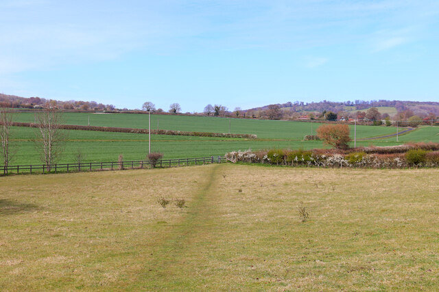
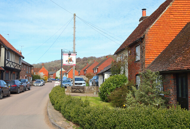
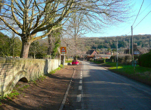
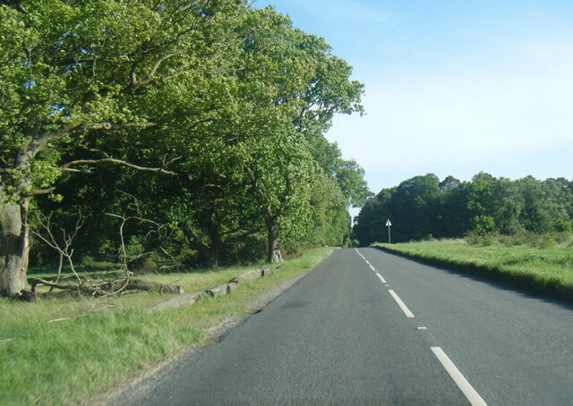
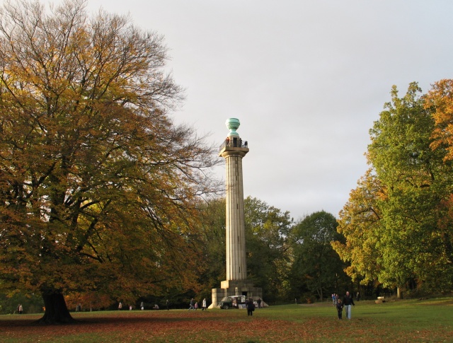
Broomfield Spring is a picturesque woodland located in the county of Hertfordshire, England. Nestled within the larger Broomfield Park, this woodland is a haven for nature enthusiasts and provides a tranquil escape from the bustling city life. With an area spanning approximately 20 acres, Broomfield Spring offers a diverse range of flora and fauna, making it a popular destination for both locals and visitors alike.

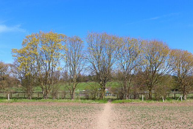
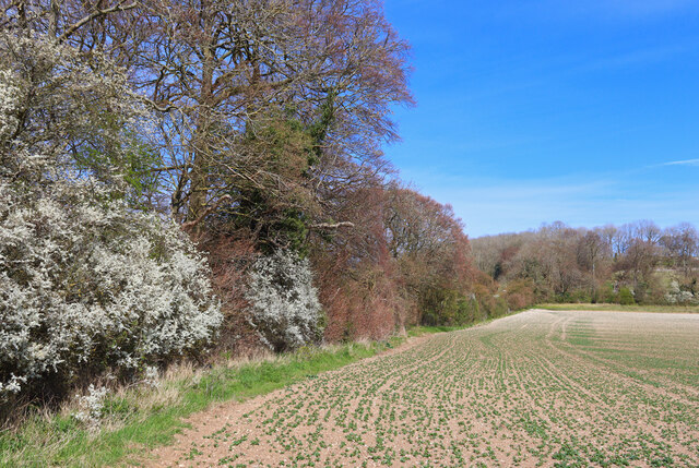
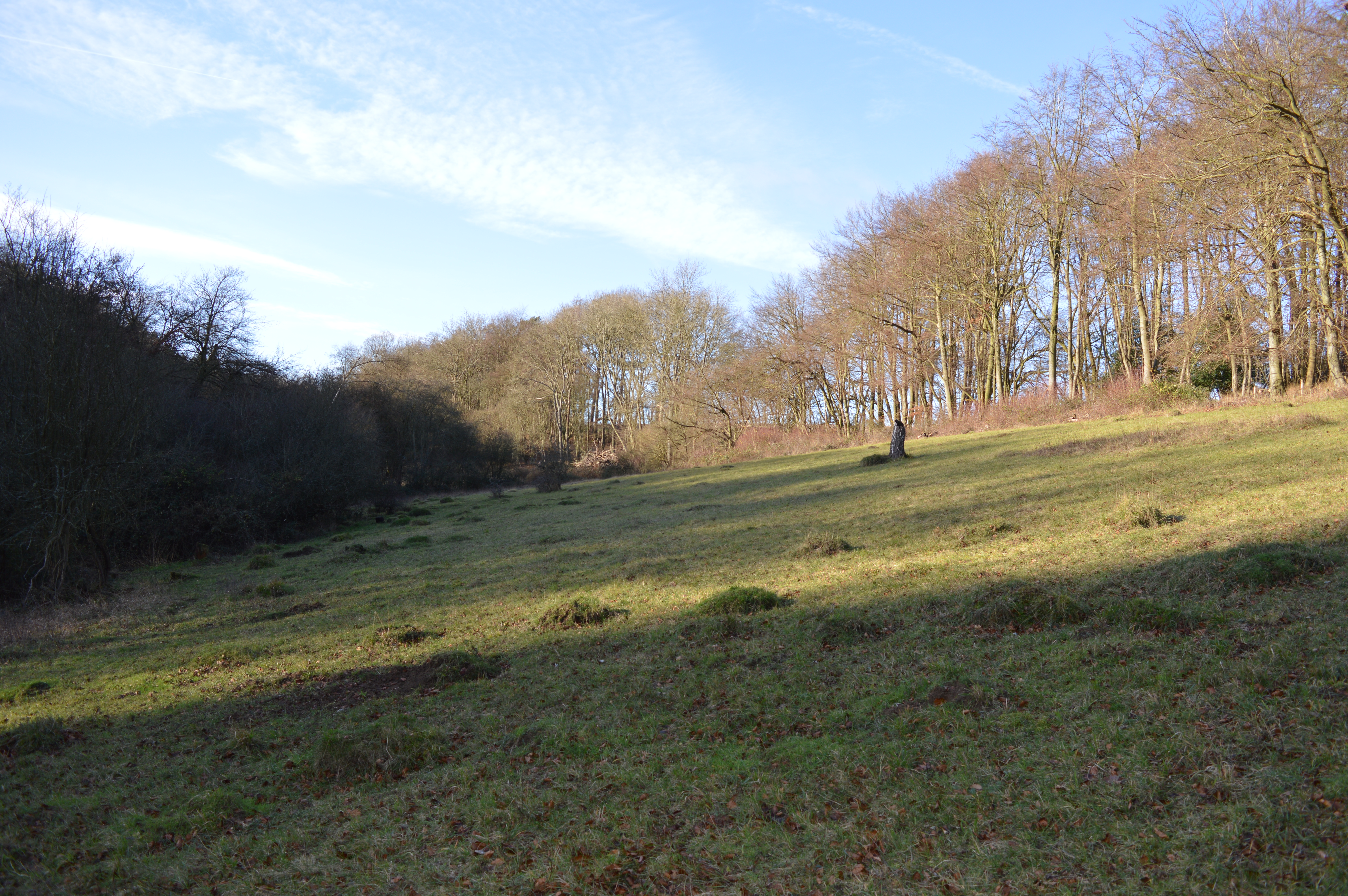
The woodland is characterized by its dense canopy of tall, mature trees, including oak, beech, and birch, which provide ample shade during the summer months. These trees create a peaceful atmosphere and offer a habitat for a variety of bird species, such as blue tits, great tits, and woodpeckers. The forest floor is adorned with a carpet of wildflowers, including primroses, bluebells, and wood anemones, adding vibrant colors to the landscape.

Tranquil pathways wind their way through Broomfield Spring, allowing visitors to explore the woodland and discover its hidden treasures. These pathways are well-maintained and suitable for walkers of all abilities, making it an ideal location for leisurely strolls or more adventurous hikes. Additionally, benches and picnic spots are scattered throughout the woodland, providing opportunities for relaxation and enjoying a packed lunch amidst nature.

Broomfield Spring is also home to a small stream that meanders through the woodland, adding to its charm. This stream is an essential water source for the local wildlife, including deer, foxes, and rabbits, which can sometimes be spotted during a visit.

Overall, Broomfield Spring offers a serene and enchanting woodland experience, providing a sanctuary for both nature lovers and those seeking a peaceful retreat in the heart of Hertfordshire.

If you have any feedback on the listing, please let us know in the comments section below.

Broomfield Spring Images

Images are sourced within 2km of 51.789903/-0.58299784 or Grid Reference SP9711. Thanks to Geograph Open Source API. All images are credited.

B4506 New Road Northwards across the extensive Northchurch Common.
B4506 New Road
Northwards across the extensive Northchurch Common.
B4506 across Northchurch Common Rather wet.
B4506 across Northchurch Common
Rather wet.
Footpath to Nortcott Court Farm Footpath from the railway bridge.
Footpath to Nortcott Court Farm
Footpath from the railway bridge.
Tree Line Field boundary near Aldbury.
Tree Line
Field boundary near Aldbury.
Village Centre Pond and village centre, Aldbury.
Village Centre
Pond and village centre, Aldbury.
Footpath near Aldbury Footpath heading north near Aldbury.
Footpath near Aldbury
Footpath heading north near Aldbury.
Valiant Trooper Public House in Aldbury.
Valiant Trooper
Public House in Aldbury.
Lane past the church, Aldbury I thought that this would be 'Church Lane' but apparently it is 'Station Road'. The arch on the left might have been built over a well. spring or trough.
Lane past the church, Aldbury
I thought that this would be 'Church Lane' but apparently it is 'Station Road'. The arch on the left might have been built over a well. spring or trough.
B4506 at Thunderdell Wood
B4506 on Northchurch Common
Macrolepiota procera (Parasol Mushroom), Ashridge This fine large fungus is a well-developed fruiting body of Macrolepiota procera, known as the Parasol Mushroom. This species is decidedly edible, though a few people have reported having "funny dreams" after eating them in the evening.
The example here is a little past its best as the cap has begun to turn up at its rim which tends to allow rainwater to settle in the dip which can affect the flavour and besides, younger specimens are generally firmer.
The Parasol changes its shape as it grows, at first it is the so-called "drum-stick" - an oval, or even near-spherical cap on a tall stipe (stalk) (see <a href="https://www.geograph.org.uk/photo/3680480">TQ2072 : Parasol mushrooms (Macrolepiota procera), Lawn Plantation (3)</a> for an example of this). Once the drum-stick opens, the cap becomes more conical  or bell-shaped (campanulate) (e.g. see <a href="https://www.geograph.org.uk/photo/6245788">TQ7818 : Parasol Mushroom (Macrolepiota procera)</a>) and a bump known as an 'umbo' forms in the centre of the cap. The cap then opens up more, becoming slightly convex and gently-domed or almost flat (e.g. see <a href="https://www.geograph.org.uk/photo/6298417">SO8297 : Parasol mushroom near Shipley in Shropshire</a>). Eventually the rim may (but not always) curl upwards slightly as seen in this image.
A fully mature Parasol is a large fungus, the one in this image having a diameter of 20-25cm (8-10") but not all of them grow to be this big.
It is a good edible fungus, especially fried in a little bacon fat* with salt and  black pepper, or made into a supreme†. The stipes (stalks) are edible but can be rather fibrous, so are best added to stews for example.
This is an easy mushroom to identify -
Cap colour: creamy with brown scales and umbo (central bump)
Gills: Cream (though nearly white at drumstick stage, and may darken to fawn with age). Crowded (plenty of them) and Free (i.e. not attached to the stipe)
Stipe (stem): Long (up to 30cm, 12", but often shorter than this) and sturdy; fibrous and with a hollow centre on cutting. Bulbous base. 'Snakeskin' pattern of chocolate-brown over cream. This is one of its definitive identifiers. It can vary in its obviousness however.
Ring: Once the cap has opened up a double-ring is left behind on the stipe (stem) - this ring can be gently moved up & down the stipe - this is the second really good identifier. When the mushroom is still in its 'drum-stick' stage, this ring is still attached to the cap - but pulling the oval/spherical cap vertically off the stipe should leave this ring behind.
Size: Once opened it should be at least 10cm (4") in diameter across its cap.

*(Vegetarians: use butter instead, Vegans: your favourite oil, though Olive Oil tends to mask the flavour)
† Sauté in butter with salt & black pepper, add a little plain flour, mix well, then pour in milk, stir until thickened. Serve on hot toast.
Macrolepiota procera (Parasol Mushroom), Ashridge
This fine large fungus is a well-developed fruiting body of Macrolepiota procera, known as the Parasol Mushroom. This species is decidedly edible, though a few people have reported having "funny dreams" after eating them in the evening. The example here is a little past its best as the cap has begun to turn up at its rim which tends to allow rainwater to settle in the dip which can affect the flavour and besides, younger specimens are generally firmer. The Parasol changes its shape as it grows, at first it is the so-called "drum-stick" - an oval, or even near-spherical cap on a tall stipe (stalk) (see TQ2072 : Parasol mushrooms (Macrolepiota procera), Lawn Plantation (3) for an example of this). Once the drum-stick opens, the cap becomes more conical or bell-shaped (campanulate) (e.g. see TQ7818 : Parasol Mushroom (Macrolepiota procera)) and a bump known as an 'umbo' forms in the centre of the cap. The cap then opens up more, becoming slightly convex and gently-domed or almost flat (e.g. see SO8297 : Parasol mushroom near Shipley in Shropshire). Eventually the rim may (but not always) curl upwards slightly as seen in this image. A fully mature Parasol is a large fungus, the one in this image having a diameter of 20-25cm (8-10") but not all of them grow to be this big. It is a good edible fungus, especially fried in a little bacon fat* with salt and black pepper, or made into a supreme†. The stipes (stalks) are edible but can be rather fibrous, so are best added to stews for example. This is an easy mushroom to identify - Cap colour: creamy with brown scales and umbo (central bump) Gills: Cream (though nearly white at drumstick stage, and may darken to fawn with age). Crowded (plenty of them) and Free (i.e. not attached to the stipe) Stipe (stem): Long (up to 30cm, 12", but often shorter than this) and sturdy; fibrous and with a hollow centre on cutting. Bulbous base. 'Snakeskin' pattern of chocolate-brown over cream. This is one of its definitive identifiers. It can vary in its obviousness however. Ring: Once the cap has opened up a double-ring is left behind on the stipe (stem) - this ring can be gently moved up & down the stipe - this is the second really good identifier. When the mushroom is still in its 'drum-stick' stage, this ring is still attached to the cap - but pulling the oval/spherical cap vertically off the stipe should leave this ring behind. Size: Once opened it should be at least 10cm (4") in diameter across its cap. *(Vegetarians: use butter instead, Vegans: your favourite oil, though Olive Oil tends to mask the flavour) † Sauté in butter with salt & black pepper, add a little plain flour, mix well, then pour in milk, stir until thickened. Serve on hot toast.
Ashridge House Now a business school
Ashridge House
Now a business school
Ashridge House Now a business school
Ashridge House
Now a business school
Ashridge House
Ashridge House
Hillingdon Road, Ashridge On Berkhamsted Common
Hillingdon Road, Ashridge
On Berkhamsted Common
Hillingdon Road on Berkhamsted Common
Ashridge House
Ashridge House
Ashridge House - Illuminations - Tree with glitter balls Several rotating glitter balls were suspended from this large tree with bright lights playing on them. The effect was thousands of tiny reflected lights which looked like a swarm of fireflies.
Ashridge House - Illuminations - Tree with glitter balls
Several rotating glitter balls were suspended from this large tree with bright lights playing on them. The effect was thousands of tiny reflected lights which looked like a swarm of fireflies.
Show me another place!

Broomfield Spring is located at Grid Ref: SP9711 (Lat: 51.789903, Lng: -0.58299784)

Administrative County: Hertfordshire

District: Dacorum

Police Authority: Hertfordshire

What 3 Words

///craftsmen.discussed.croutons. Near Berkhamsted, Hertfordshire

Related Wikis

1954 Aldbury Valetta accident

On 6 January 1954 WJ474 a twin-engined Vickers Valetta training aircraft of No. 2 Air Navigation School Royal Air Force crashed near RAF Bovingdon just...

Alpine Meadow, Berkhamsted

Alpine Meadow is a 0.4 hectare nature reserve near Berkhamsted in Hertfordshire in the United Kingdom. It is a designated biological Site of Special Scientific...

Aldbury

Aldbury () is a village and civil parish in Hertfordshire, England, near the borders of Buckinghamshire and Bedfordshire in the Bulbourne valley of the...

Ashridge Priory

Ashridge Priory was a medieval college of Austin canons called variously the "Brothers of Penitence" or the "Boni Homines". It was founded by Edmund of...

Dudswell, Hertfordshire

Dudswell is a hamlet in South West Hertfordshire, England, between the towns of Tring and Berkhamsted. It is 2 miles (3.2 km) north-west of Berkhamsted...

Hult Ashridge

Hult Ashridge (also known as the Ashridge Programme or Ashridge) is the executive education programme of Hult International Business School, housed in...

Northchurch Roman villa

Northchurch Roman Villa is a ruined Roman villa at Northchurch, Hertfordshire. The site was excavated in 1973 due to new housing developments on the site...

Ashridge

Ashridge is a country estate and stately home in Hertfordshire, England. It is situated in the Chiltern Hills, an Area of Outstanding Natural Beauty, about...

Related Videos

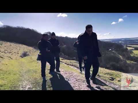
Forest Hiking in Ashridge Estate - Wildlife Route | Walk with Tim

Come along with me as I take a walk through the beautiful Forest of Ashridge Estate in Hertfordshire. Enjoy the sounds of the ...

Walking with the DJI Mavic Pro

Decided to use the Tripod mode as it was too windy to fly much higher. I really like how easy it is to fly in this mode and the effects ...

Forest walking in an English Forest | Early Spring Bluebells 🌷💐

Walking in the forest visiting the the early spring bluebells that have blossomed! Enjoy the sounds and sights of nature.

Nearby Amenities

Located within 500m of 51.789903,-0.58299784
Parking
Lat/Long: 51.7936254/-0.584427
The data included in this document is from www.openstreetmap.org. The data is made available under ODbL.

Have you been to Broomfield Spring?

Leave your review of Broomfield Spring below (or comments, questions and feedback).