Great Wood
Wood, Forest in Surrey Runnymede
England
Great Wood
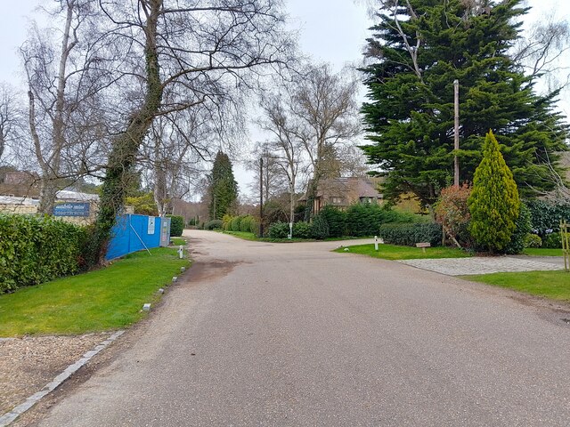
Great Wood is a picturesque forest located in Surrey, England. Spanning an area of approximately 200 acres, it is a renowned natural treasure in the region. The wood is situated near the village of Surrey and is easily accessible to visitors from nearby towns and cities.
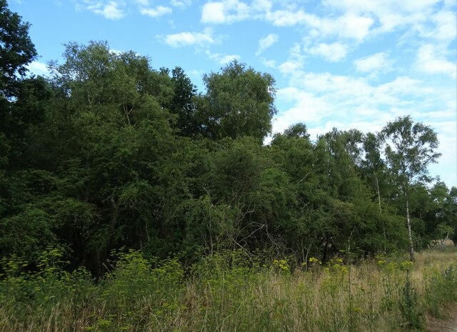
Great Wood is characterized by its diverse range of tree species, including oak, beech, and pine. The dense vegetation creates a beautiful canopy, providing shade and shelter to various flora and fauna. The forest floor is covered in a thick carpet of ferns, moss, and wildflowers, enhancing the enchanting atmosphere.
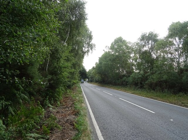
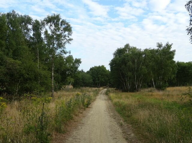
The wood is intersected by several walking trails, allowing visitors to explore its natural wonders. These pathways wind through the forest, offering breathtaking views of towering trees and glimpses of wildlife. It is not uncommon to spot squirrels, rabbits, and numerous bird species while strolling through Great Wood.
The forest is also home to a variety of insects, including butterflies and beetles, adding to its ecological significance. Additionally, the wood serves as a habitat for several protected species, such as the great crested newt and the dormouse.
Great Wood is a popular destination for outdoor enthusiasts, nature lovers, and families. Its tranquil ambiance provides a peaceful retreat from the hustle and bustle of everyday life. Whether it is for a leisurely walk, a picnic, or birdwatching, Great Wood offers a serene and immersive experience in the heart of Surrey's natural beauty.
If you have any feedback on the listing, please let us know in the comments section below.
Great Wood Images
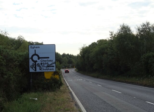
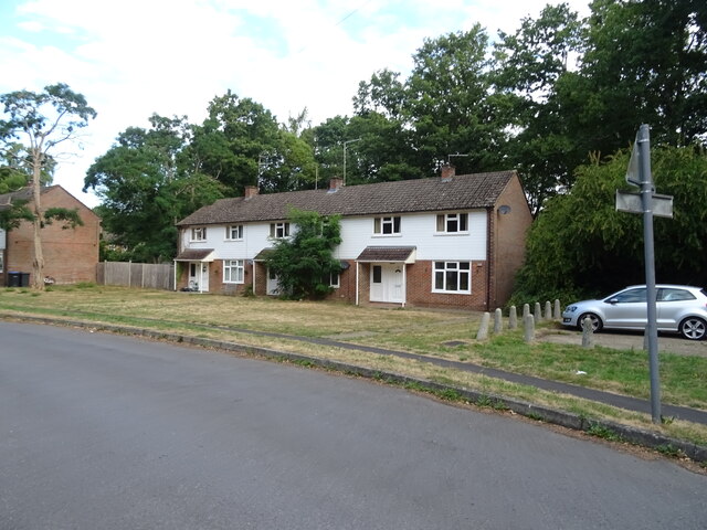
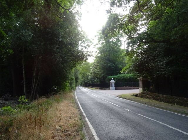
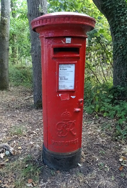
Images are sourced within 2km of 51.388376/-0.59711626 or Grid Reference SU9766. Thanks to Geograph Open Source API. All images are credited.


Great Wood is located at Grid Ref: SU9766 (Lat: 51.388376, Lng: -0.59711626)
Administrative County: Surrey
District: Runnymede
Police Authority: Surrey
What 3 Words
///perky.fallen.coins. Near Sunningdale, Berkshire
Nearby Locations
Related Wikis
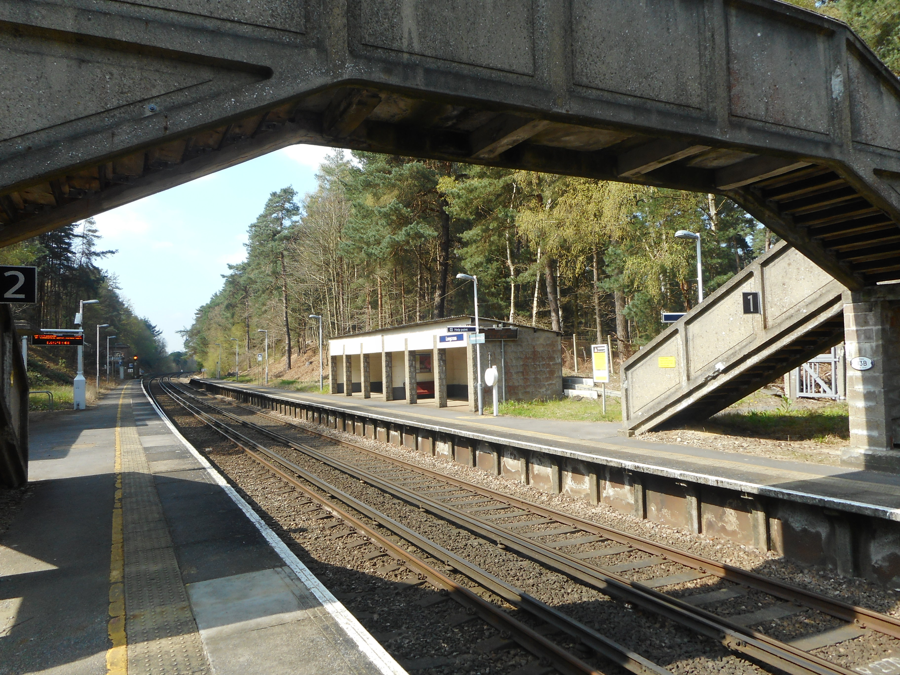
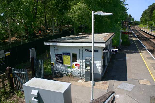
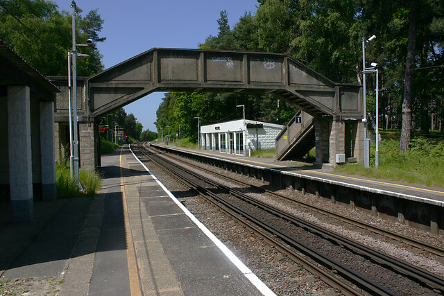
Longcross railway station
Longcross railway station is next to Longcross Garden Village (Upper Longcross) in Surrey, England. It straddles the former parishes of Virginia Water...

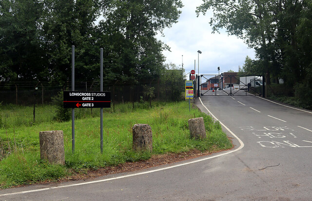
Longcross Studios
Longcross Film Studios is a film and television production facility in Longcross, Surrey, approximately 25 miles (40 km) west of central London. Built...
Military Vehicles and Engineering Establishment
The Military Vehicles and Engineering Establishment (MVEE) was a British defence research unit on Chobham Lane, Chertsey in Surrey. It was responsible...
1969 Piccadilly World Match Play Championship
The 1969 Piccadilly World Match Play Championship was the sixth World Match Play Championship. It was played from Thursday 9 to Saturday 11 October on...
Nearby Amenities
Located within 500m of 51.388376,-0.59711626Have you been to Great Wood?
Leave your review of Great Wood below (or comments, questions and feedback).