Prestwick Copse

Wood, Forest in Surrey Waverley

England

Prestwick Copse

Ridgley Road at the junction of Coxcomb Lane
Ridgley Road at the junction of Coxcomb Lane Credit: David Howard

Prestwick Copse is a picturesque woodland located in the county of Surrey, England. Situated near the village of Prestwick, the copse covers a total area of approximately 30 hectares. The woodland is known for its abundance of ancient trees, diverse wildlife, and peaceful atmosphere, making it a popular destination for nature enthusiasts and hikers.

The copse primarily consists of deciduous trees, such as oak, beech, and ash, which provide a stunning canopy during the warmer months and a vibrant display of colors during autumn. The tall, mature trees create a dense and shady environment, offering a respite from the sun on hot summer days.

Throughout Prestwick Copse, a network of well-maintained footpaths allows visitors to explore the woodland and discover its hidden treasures. The paths wind their way through the trees, leading to tranquil glades, babbling brooks, and secluded picnic spots. The copse is also home to a variety of wildlife, including deer, foxes, badgers, and numerous bird species, making it a haven for birdwatchers and wildlife enthusiasts.

Prestwick Copse is managed by the local council, who ensure its preservation and protection. The woodland is open to the public year-round, with no admission fee, providing an accessible and affordable outdoor experience for all. Interpretive signs and information boards are scattered throughout the copse, offering educational insights into the flora, fauna, and history of the area.

Overall, Prestwick Copse is a natural gem within the Surrey countryside, offering visitors a chance to escape the hustle and bustle of everyday life and immerse themselves in the beauty of nature.

If you have any feedback on the listing, please let us know in the comments section below.

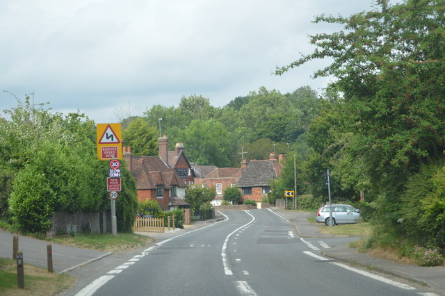
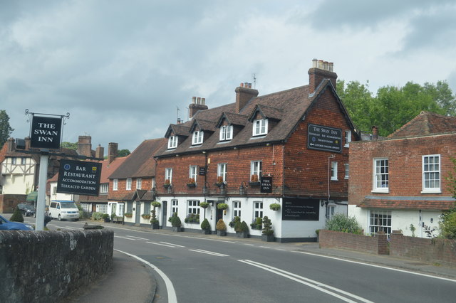
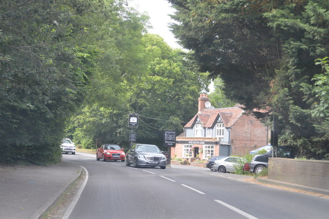
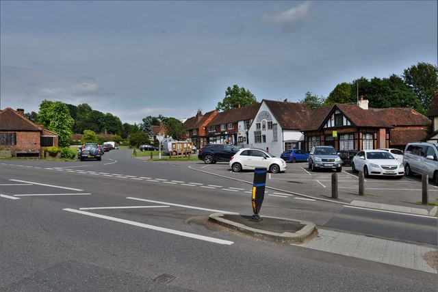
Prestwick Copse Images

Images are sourced within 2km of 51.108363/-0.61015263 or Grid Reference SU9735. Thanks to Geograph Open Source API. All images are credited.

Ridgley Road at the junction of Coxcomb Lane
Shops on The Green, Chiddingfold
Shops on The Green, Chiddingfold A very small Boots, one of the few large chains who kept their village shops as well.
Shops on The Green, Chiddingfold
A very small Boots, one of the few large chains who kept their village shops as well.
House on The Green, Chiddingfold
The Winterton Arms, Chiddingfold
Houses on Petworth Road, Chiddingfold
Petworth Road, Chiddingfold
Old house on Petworth Road, Chiddingfold
Entering Chiddingfold, A283 Chiddingfold is a village and civil parish in the heart of The Weald in the Waverley district of Surrey. It lies on the A283 between Milford and Petworth.
Wikipedia: <span class="nowrap"><a title="http://en.wikipedia.org/wiki/Chiddingfold" rel="nofollow ugc noopener" href="http://en.wikipedia.org/wiki/Chiddingfold">Link</a><img style="margin-left:2px;" alt="External link" title="External link - shift click to open in new window" src="https://s1.geograph.org.uk/img/external.png" width="10" height="10"/></span>
Entering Chiddingfold, A283
Chiddingfold is a village and civil parish in the heart of The Weald in the Waverley district of Surrey. It lies on the A283 between Milford and Petworth. Wikipedia: LinkExternal link
A283, Chiddingfold The A283 runs 37 miles from Milford near Guildford south to Shoreham-on-Sea across rural Surrey and West Sussex.
<span class="nowrap"><a title="https://www.sabre-roads.org.uk/wiki/index.php?title=A283" rel="nofollow ugc noopener" href="https://www.sabre-roads.org.uk/wiki/index.php?title=A283">Link</a><img style="margin-left:2px;" alt="External link" title="External link - shift click to open in new window" src="https://s1.geograph.org.uk/img/external.png" width="10" height="10"/></span>
A283, Chiddingfold
The A283 runs 37 miles from Milford near Guildford south to Shoreham-on-Sea across rural Surrey and West Sussex. LinkExternal link
The Swan Inn
The Swan Inn
Church of St Mary Chiddingfold is a village and civil parish in the heart of The Weald in the Waverley district of Surrey. It lies on the A283 between Milford and Petworth.
Wikipedia: <span class="nowrap"><a title="http://en.wikipedia.org/wiki/Chiddingfold" rel="nofollow ugc noopener" href="http://en.wikipedia.org/wiki/Chiddingfold">Link</a><img style="margin-left:2px;" alt="External link" title="External link - shift click to open in new window" src="https://s1.geograph.org.uk/img/external.png" width="10" height="10"/></span>
Church of St Mary
Chiddingfold is a village and civil parish in the heart of The Weald in the Waverley district of Surrey. It lies on the A283 between Milford and Petworth. Wikipedia: LinkExternal link
A283 at The Winterton Arms The A283 runs 37 miles from Milford near Guildford south to Shoreham-on-Sea across rural Surrey and West Sussex.
<span class="nowrap"><a title="https://www.sabre-roads.org.uk/wiki/index.php?title=A283" rel="nofollow ugc noopener" href="https://www.sabre-roads.org.uk/wiki/index.php?title=A283">Link</a><img style="margin-left:2px;" alt="External link" title="External link - shift click to open in new window" src="https://s1.geograph.org.uk/img/external.png" width="10" height="10"/></span>
A283 at The Winterton Arms
The A283 runs 37 miles from Milford near Guildford south to Shoreham-on-Sea across rural Surrey and West Sussex. LinkExternal link
Chiddingfold: Looking towards The Green
Chiddingfold, St. Mary's Church: The nave
Chiddingfold, St. Mary's Church: The font
Show me another place!

Prestwick Copse is located at Grid Ref: SU9735 (Lat: 51.108363, Lng: -0.61015263)

Administrative County: Surrey

District: Waverley

Police Authority: Surrey

What 3 Words

///seat.defenders.opponent. Near Chiddingfold, Surrey

Related Wikis

Chiddingfold

Chiddingfold is a village and civil parish in the Weald in the Waverley district of Surrey, England. It lies on the A283 road between Milford and Petworth...

Pickhurst

Pickhurst is a grade II* listed house set in 130 acres (53 ha) of land near Chiddingfold, Surrey, England. == History == It was designed by the Scottish...

St Teresa of Avila Church, Chiddingfold

St Teresa of Avila Church is a Roman Catholic Parish church in Chiddingfold, Surrey. It is situated on the corner of Petworth Road and Woodside Road in...

The Farm (recording studio)

The Farm (also known as Fisher Lane Farm) was a recording studio in Chiddingfold, Surrey owned by the rock band Genesis. The group bought the property...

Nearby Amenities

Located within 500m of 51.108363,-0.61015263
The data included in this document is from www.openstreetmap.org. The data is made available under ODbL.

Have you been to Prestwick Copse?

Leave your review of Prestwick Copse below (or comments, questions and feedback).