Larkhill Belt
Wood, Forest in Yorkshire Ryedale
England
Larkhill Belt
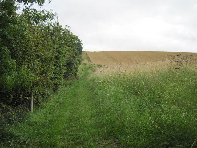
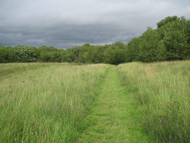
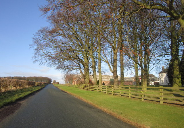
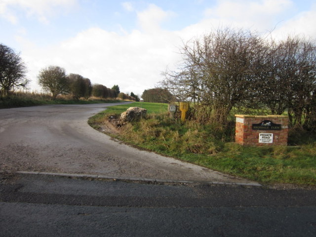
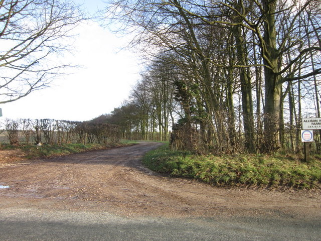
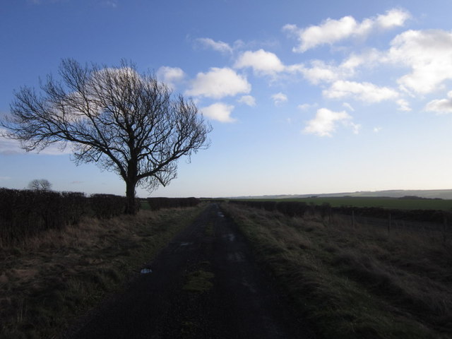
Larkhill Belt, located in Yorkshire, England, is a captivating woodland area known for its natural beauty and diverse ecosystem. Spanning over a vast expanse, this forest is a popular destination for nature enthusiasts and outdoor adventurers alike.
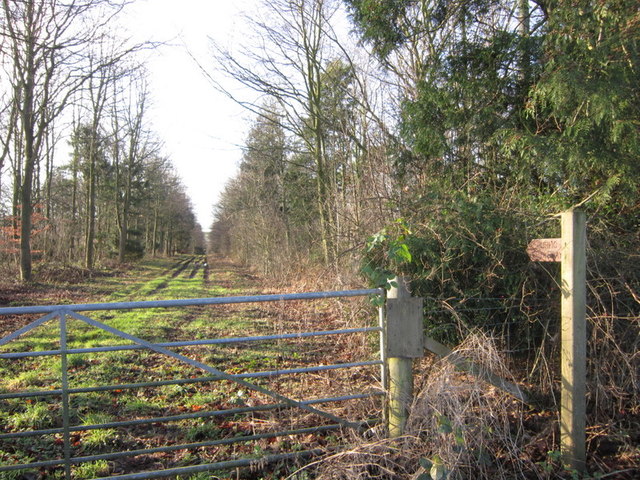
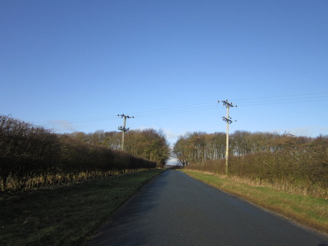
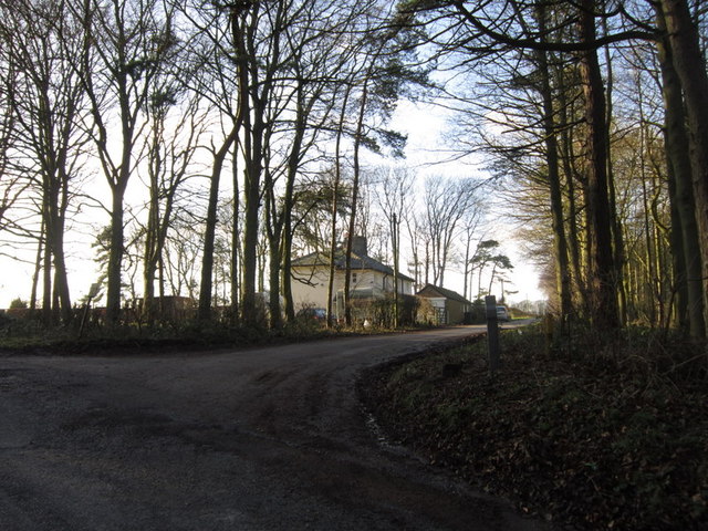
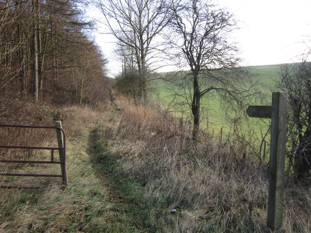
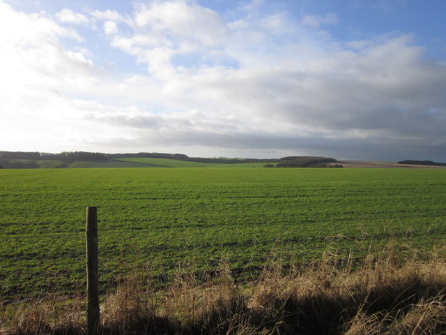
The woodland of Larkhill Belt is characterized by its dense canopy, which consists of towering oak, beech, and birch trees, among others. These majestic trees provide a stunning backdrop to the forest, creating an enchanting atmosphere for visitors. The forest floor is covered in a rich carpet of mosses, ferns, and wildflowers, contributing to the area's picturesque charm.
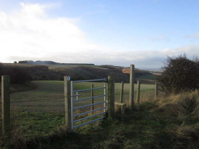
Larkhill Belt is home to a wide range of wildlife species, making it a haven for animal lovers and birdwatchers. Visitors may encounter red deer, foxes, and badgers as they explore the forest trails. The area is also known for its bird population, with various species such as woodpeckers, owls, and songbirds inhabiting the trees.
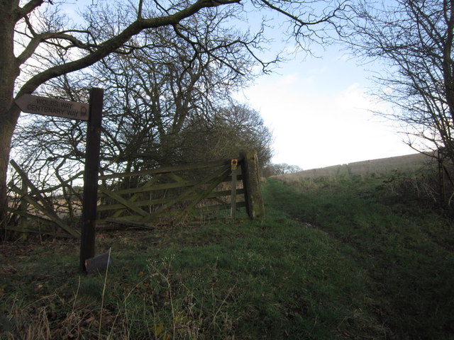
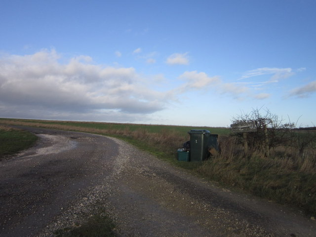
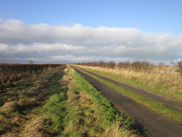
The forest offers a plethora of recreational activities for visitors to enjoy. Hiking and walking trails meander through the woodland, providing an opportunity to explore the area's natural wonders. Cyclists can also take advantage of the forest's network of cycling paths, while nature photographers will find endless inspiration in the scenic landscapes.
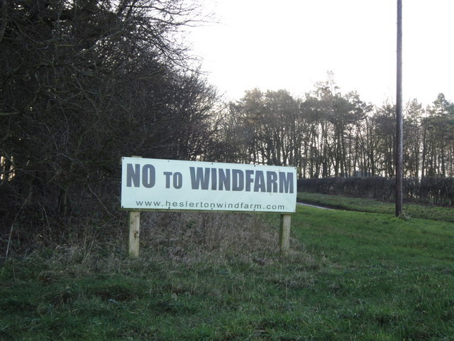
Larkhill Belt is not only a place of natural beauty but also holds historical significance. Ruins of ancient settlements and burial mounds can be found scattered throughout the forest, offering glimpses into the area's past.
Overall, Larkhill Belt in Yorkshire is a captivating woodland paradise, inviting visitors to immerse themselves in its natural wonders and discover the tranquility of this idyllic forest.
If you have any feedback on the listing, please let us know in the comments section below.
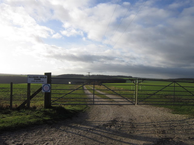
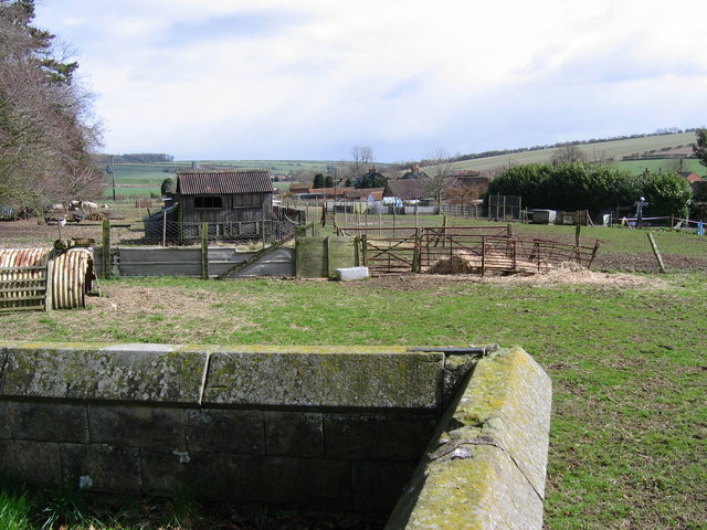
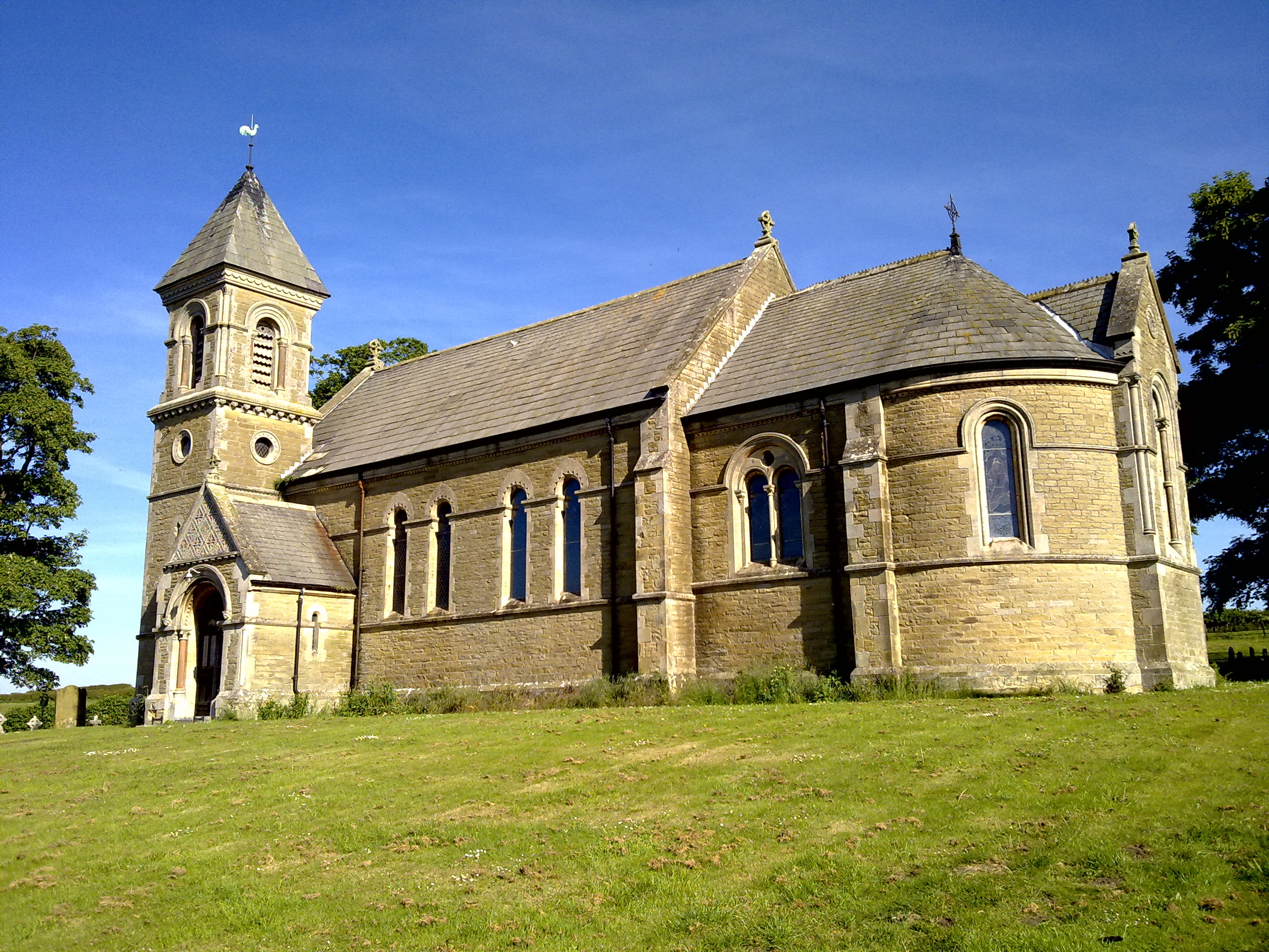
Larkhill Belt Images
Images are sourced within 2km of 54.151293/-0.51179914 or Grid Reference SE9773. Thanks to Geograph Open Source API. All images are credited.

Larkhill Belt is located at Grid Ref: SE9773 (Lat: 54.151293, Lng: -0.51179914)
Division: East Riding
Administrative County: North Yorkshire
District: Ryedale
Police Authority: North Yorkshire
What 3 Words
///gravel.plantings.things. Near Wold Newton, East Yorkshire
Nearby Locations
Related Wikis

Weaverthorpe
Weaverthorpe is a village and civil parish in North Yorkshire, England. It is 13 miles (21 km) south-west of Scarborough. == History == Bronze Age settlements...

Potter Brompton
Potter Brompton is a small village in the English county of North Yorkshire, on the A64 road from Malton to Scarborough. The village is situated just a...

Butterwick, Foxholes
Butterwick is a village and former civil parish, now in the parish of Foxholes (1.75 miles (2.8 km) to the east, near the village of Weaverthorpe (2 miles...

Sherburn, North Yorkshire
Sherburn is a village and civil parish in North Yorkshire, England. It is situated on the south side of the Vale of Pickering, immediately north of the...
Helperthorpe
Helperthorpe is a village in the civil parish of Luttons, in North Yorkshire, England. The village lies in the Great Wold Valley and the course of the...

Ganton
Ganton is a village and civil parish in North Yorkshire, England. It is situated on the south side of the Vale of Pickering immediately north of the Yorkshire...
Foxholes, North Yorkshire
Foxholes is a village in North Yorkshire, England, part of the civil parish of Foxholes with Butterwick. It lies where the B1249 road crosses the Great...

Ganton Golf Club
Ganton Golf Club is a golf club in Ganton, North Yorkshire, England. It has an 18-hole golf course that has hosted many major tournaments, including the...
Nearby Amenities
Located within 500m of 54.151293,-0.51179914Have you been to Larkhill Belt?
Leave your review of Larkhill Belt below (or comments, questions and feedback).