Beacon Wood

Wood, Forest in Yorkshire

England

Beacon Wood

Harvesting by Wellsprings Drain
Harvesting by Wellsprings Drain Credit: David Brown

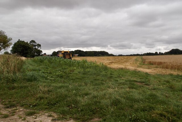
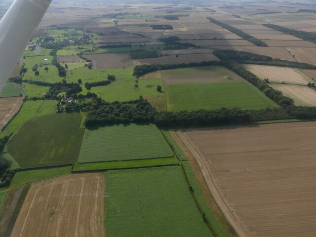
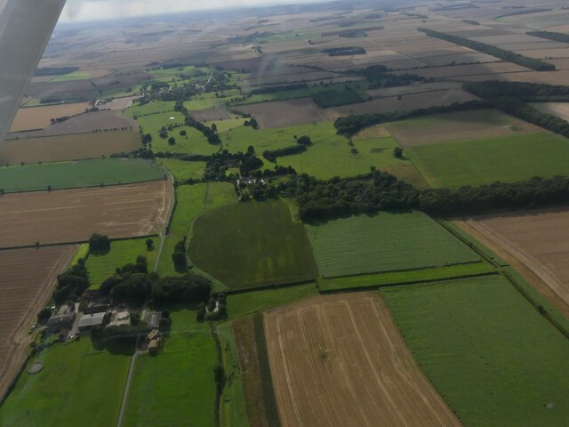
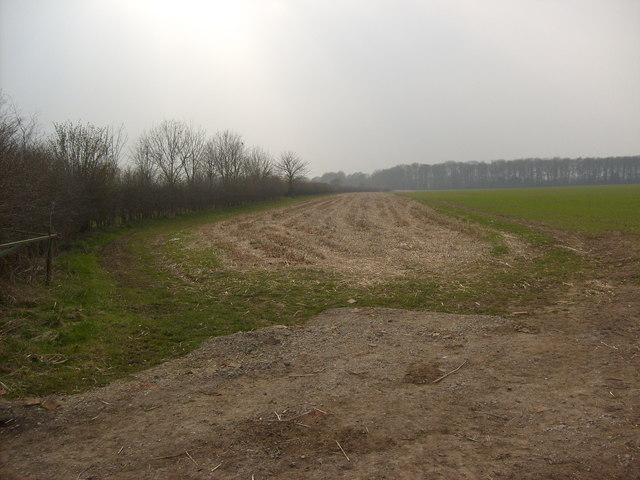
Beacon Wood is a picturesque forest located in Yorkshire, England. Covering an area of approximately 50 hectares, it is known for its stunning natural beauty and diverse wildlife. The wood is situated near the village of Beacon, which lends its name to this enchanting woodland.

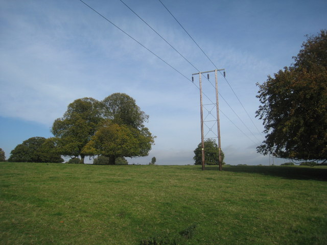
The forest is primarily composed of deciduous trees, including oak, beech, and birch, which create a vibrant and colorful canopy during the autumn months. This provides a breathtaking backdrop for visitors who enjoy nature walks or picnics amidst the tranquil surroundings.

Beacon Wood is a haven for wildlife enthusiasts, as it is home to a wide variety of animals and birds. Deer, foxes, badgers, and squirrels are commonly spotted within the wood, while birdwatchers can catch glimpses of woodpeckers, owls, and various songbirds. There are also several ponds and streams within the woodland, which attract amphibians and water-loving creatures.

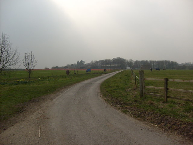
Visitors can explore Beacon Wood through well-maintained walking trails that wind through the forest, offering glimpses of its natural wonders. These paths are suitable for all fitness levels and are often used by local residents for leisurely strolls or jogging.

The wood is managed by a local conservation group, ensuring its preservation and protection for future generations. The group organizes regular events and activities to educate visitors about the importance of preserving the natural environment.

Overall, Beacon Wood offers a delightful escape from the hustle and bustle of everyday life, providing a peaceful sanctuary for nature lovers and a chance to immerse oneself in the beauty of Yorkshire's woodlands.

If you have any feedback on the listing, please let us know in the comments section below.

Beacon Wood Images

Images are sourced within 2km of 53.973233/-0.52074328 or Grid Reference SE9754. Thanks to Geograph Open Source API. All images are credited.

Harvesting by Wellsprings Drain
St Mary’s Church, Kirkburn Kirkburn is small village, a few miles to the southwest of Driffield. Like Garton-on-the-Wolds, it has a “Sykes Church” restored by Sir Tatton Sykes in the mid-19th century. St Mary’s is another Norman church with a Nave probably dating from 1130-40. 
Lots of awful ‘restoration’ works were carried out in the early 19th century but luckily Sir Tatton Sykes then took an interest and much more appropriate works were then carried out, restoring the chancel to its Norman appearance.
St Mary’s Church, Kirkburn
Kirkburn is small village, a few miles to the southwest of Driffield. Like Garton-on-the-Wolds, it has a “Sykes Church” restored by Sir Tatton Sykes in the mid-19th century. St Mary’s is another Norman church with a Nave probably dating from 1130-40. Lots of awful ‘restoration’ works were carried out in the early 19th century but luckily Sir Tatton Sykes then took an interest and much more appropriate works were then carried out, restoring the chancel to its Norman appearance.
Neswick Gardens, Bainton: aerial 2023 Newsick Hall Parkland: see <span class="nowrap"><a title="https://www.parksandgardens.org/places/neswick-hall-parkland" rel="nofollow ugc noopener" href="https://www.parksandgardens.org/places/neswick-hall-parkland">Link</a><img style="margin-left:2px;" alt="External link" title="External link - shift click to open in new window" src="https://s1.geograph.org.uk/img/external.png" width="10" height="10"/></span>

Se also <a href="https://www.geograph.org.uk/photo/7592346">SE9852 : Neswick Farm and Neswick Gardens, Bainton: aerial 2023</a>.
Neswick Gardens, Bainton: aerial 2023
Neswick Farm and Neswick Gardens, Bainton: aerial 2023 Newsick Hall Parkland: see <span class="nowrap"><a title="https://www.parksandgardens.org/places/neswick-hall-parkland" rel="nofollow ugc noopener" href="https://www.parksandgardens.org/places/neswick-hall-parkland">Link</a><img style="margin-left:2px;" alt="External link" title="External link - shift click to open in new window" src="https://s1.geograph.org.uk/img/external.png" width="10" height="10"/></span>

See also <a href="https://www.geograph.org.uk/photo/7592339">SE9753 : Neswick Gardens, Bainton: aerial 2023</a>.
Neswick Farm and Neswick Gardens, Bainton: aerial 2023
Newsick Hall Parkland: see LinkExternal link See also SE9753 : Neswick Gardens, Bainton: aerial 2023.
Modern Milestone by the B1248, Tibthorpe Milestone by the B1248, in parish of Tibthorpe (East Riding of Yorkshire District), just North of crossroads on Marshall Hill, by the road.

Inscription reads:-
BEVERLEY
12
MILES
MALTON
16
MILES

Surveyed

Milestone Society National ID: YE_BVMA12
Modern Milestone by the B1248, Tibthorpe
Milestone by the B1248, in parish of Tibthorpe (East Riding of Yorkshire District), just North of crossroads on Marshall Hill, by the road. Inscription reads:- BEVERLEY 12 MILES MALTON 16 MILES Surveyed Milestone Society National ID: YE_BVMA12
Kirkburn, St Mary
Kirkburn, St Mary
Field Boundary towards Gravelwalk Plantation
Neswick Lane
Neswick Lane
Neswick Park The beech trees have been grazed to a uniform height from the ground.
Neswick Park
The beech trees have been grazed to a uniform height from the ground.
Footpath from the church Connects Church Street with Main Street.
Footpath from the church
Connects Church Street with Main Street.
Butts Lane, Tibthorpe Extends no farther than the house visible on the left.
Butts Lane, Tibthorpe
Extends no farther than the house visible on the left.
Bridge over Eastburn Beck, Kirkburn
The churchyard, Kirkburn The long grass between the gravestones is part of a conservation scheme. Most of the grass will be cut before the spring but then not again until the following autumn.
The churchyard, Kirkburn
The long grass between the gravestones is part of a conservation scheme. Most of the grass will be cut before the spring but then not again until the following autumn.
The Village Hall, Kirkburn
Footpath at Kirkburn Links Main Street to houses beyond the by-pass.
Footpath at Kirkburn
Links Main Street to houses beyond the by-pass.
South Doorway, St. Mary's church, Kirkburn Dates from about 1135.
South Doorway, St. Mary's church, Kirkburn
Dates from about 1135.
Stairway, St. Mary's, Kirkburn Most tower stairways are fitted within the wall of the tower or in an attached stair turret. This arrangement at Kirkburn is most unusual.
Stairway, St. Mary's, Kirkburn
Most tower stairways are fitted within the wall of the tower or in an attached stair turret. This arrangement at Kirkburn is most unusual.
Footpath from the church, Kirkburn A short cut from the church to the centre of the village.
Footpath from the church, Kirkburn
A short cut from the church to the centre of the village.
Show me another place!

Beacon Wood is located at Grid Ref: SE9754 (Lat: 53.973233, Lng: -0.52074328)

Division: East Riding

Unitary Authority: East Riding of Yorkshire

Police Authority: Humberside

What 3 Words

///panels.eased.trio. Near Bainton, East Yorkshire

Nearby Locations

Beacon Wood Pitland Hill

Related Wikis

Kirkburn

Kirkburn is a small village and civil parish in the East Riding of Yorkshire, England. It is situated about 3 miles (5 km) south-west of Driffield town...

Tibthorpe

Tibthorpe is a village and civil parish in the East Riding of Yorkshire, England. According to the 2011 UK census, Tibthorpe parish had a population of...

Southburn

Southburn is a hamlet and former civil parish, now in the parish of Kirkburn, in the East Riding of Yorkshire, England. It is situated in the Yorkshire...

Bainton, East Riding of Yorkshire

Bainton is a village and civil parish in the East Riding of Yorkshire, England. It is situated approximately 6 miles (10 km) south-west of Driffield on...

Nearby Amenities

Located within 500m of 53.973233,-0.52074328
Power: pole
Lat/Long: 53.9770383/-0.5182323
Power: pole
Lat/Long: 53.976411/-0.5199305
Power: pole
Lat/Long: 53.9757265/-0.5216901
Power: pole
Lat/Long: 53.9750482/-0.5234764
Power: pole
Lat/Long: 53.9743823/-0.5252735
Power: pole
Lat/Long: 53.9735778/-0.5273281
The data included in this document is from www.openstreetmap.org. The data is made available under ODbL.

Have you been to Beacon Wood?

Leave your review of Beacon Wood below (or comments, questions and feedback).