Walker Flat Wood
Wood, Forest in Yorkshire Scarborough
England
Walker Flat Wood
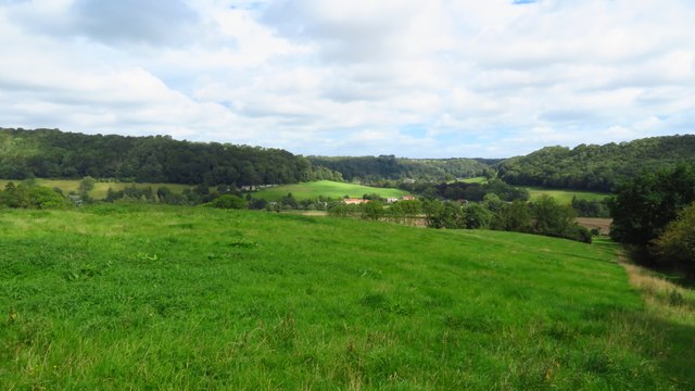
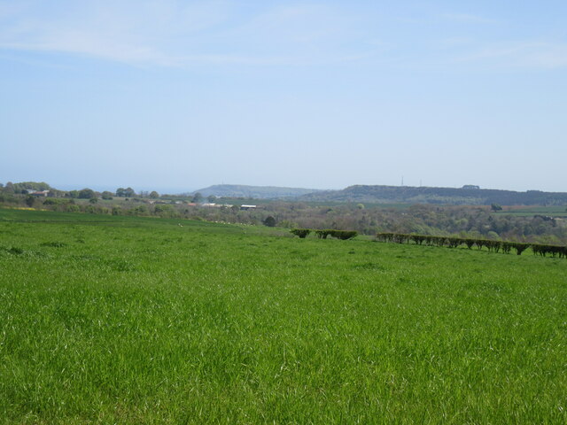
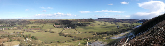
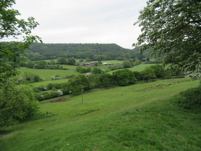
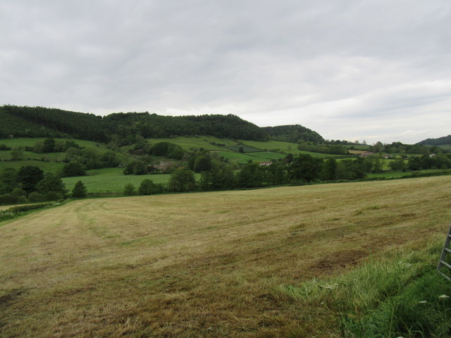
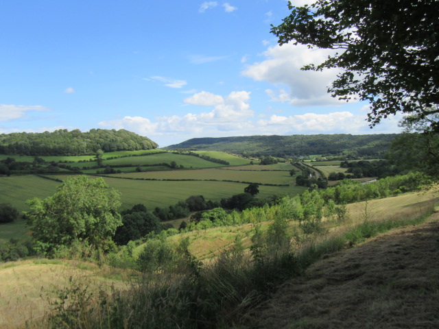
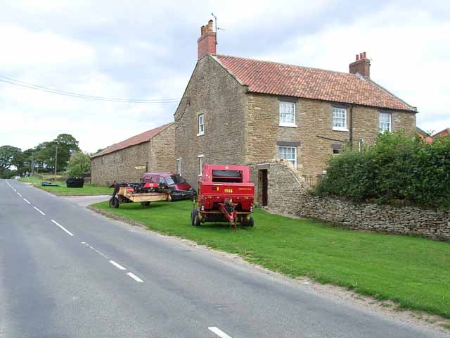
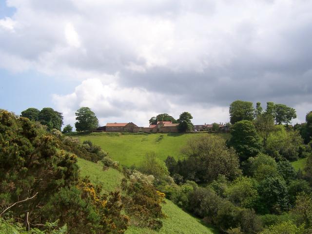
Walker Flat Wood is a picturesque woodland located in Yorkshire, England. Spread across a sprawling area, it forms a part of the larger Yorkshire Dales National Park. This woodland area is renowned for its natural beauty and diverse ecosystem.
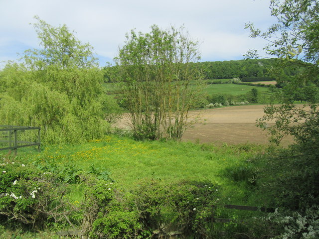
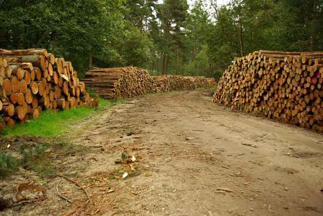
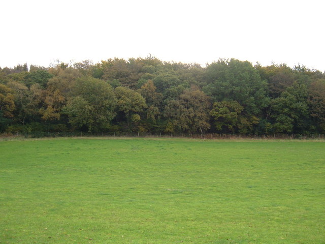
The wood itself is characterized by a mixture of broadleaf and coniferous trees, including species such as oak, beech, pine, and spruce. This vibrant combination of trees creates a stunning display of colors throughout the year, with hues ranging from vibrant greens in the summer to warm oranges and reds in the autumn. The dense canopy formed by the trees provides a sheltered environment for a variety of wildlife.
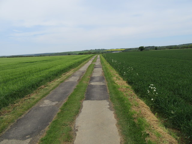
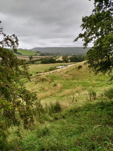
As one wanders through Walker Flat Wood, they will encounter a network of well-maintained trails, allowing visitors to explore this enchanting forest at their own pace. The paths meander through the woods, offering glimpses of babbling brooks, serene ponds, and tranquil clearings.
The woodland is also home to a wide range of wildlife, including various bird species, such as woodpeckers and owls, as well as small mammals like squirrels and foxes. Nature enthusiasts will delight in spotting these creatures in their natural habitat.
Apart from its natural beauty, Walker Flat Wood also offers recreational activities for visitors. There are designated picnic areas where families and friends can relax and enjoy a meal amidst the tranquil surroundings. The wood is also a popular spot for hiking and nature walks, providing an opportunity for visitors to immerse themselves in the serenity of the forest.
In conclusion, Walker Flat Wood in Yorkshire is a captivating woodland that showcases the natural wonders of the region. With its diverse array of trees, wildlife, and recreational opportunities, it is a haven for nature lovers and a must-visit destination for those seeking solace in the beauty of the outdoors.
If you have any feedback on the listing, please let us know in the comments section below.
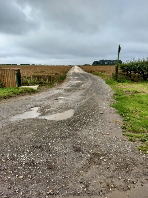
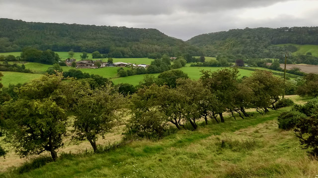
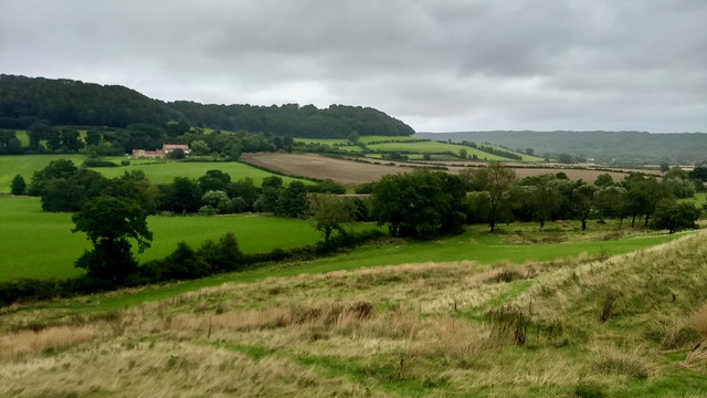
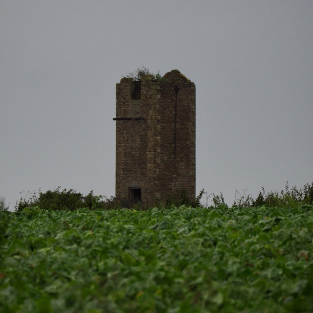
Walker Flat Wood Images
Images are sourced within 2km of 54.297162/-0.5095248 or Grid Reference SE9790. Thanks to Geograph Open Source API. All images are credited.


Walker Flat Wood is located at Grid Ref: SE9790 (Lat: 54.297162, Lng: -0.5095248)
Division: North Riding
Administrative County: North Yorkshire
District: Scarborough
Police Authority: North Yorkshire
What 3 Words
///songbook.jotting.handlebar. Near Burniston, North Yorkshire
Nearby Locations
Related Wikis

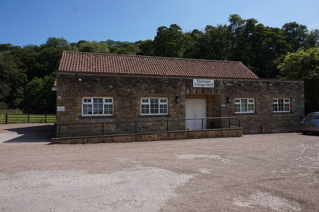
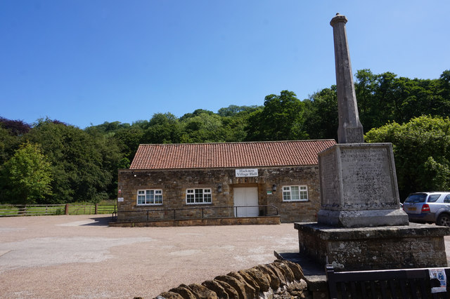
Hackness
Hackness is a village and civil parish in the Scarborough district of the county of North Yorkshire, England. It lies within the North York Moors National...
Suffield, North Yorkshire
Suffield is a hamlet in the parish of Suffield-cum-Everley in the Scarborough district of North Yorkshire, England. the hamlet is 4.5 miles (7.2 km) north...

Silpho
Silpho is a village and civil parish in the Scarborough district of the county of North Yorkshire, England. According to the 2001 UK census, Silpho parish...

Suffield-cum-Everley
Suffield-cum-Everley is a civil parish in the Scarborough district of North Yorkshire, England. According to the 2011 UK census, the parish (including...
Wykeham Forest
Wykeham Forest is a 2,760-acre (1,115-hectare) woodland 6 miles (9.7 km) in the North York Moors National Park, near to Wykeham, west of Scarborough, England...
Broxa, North Yorkshire
Broxa is a village in the Scarborough district of North Yorkshire, England, within the North York Moors National Park. The village is 6.2 miles (10 km...
Raincliffe Woods
Raincliffe Woods are situated to the north-west of Scarborough, North Yorkshire, England. They form an "L" shape with Forge Valley Woods and the River...

Broxa-cum-Troutsdale
Broxa-cum-Troutsdale is a civil parish in the Scarborough district of North Yorkshire, England. The population as of the 2011 census remained less than...
Nearby Amenities
Located within 500m of 54.297162,-0.5095248Have you been to Walker Flat Wood?
Leave your review of Walker Flat Wood below (or comments, questions and feedback).