Freer's Wood

Wood, Forest in Bedfordshire

England

Freer's Wood

Carlton and Harrold from the air Carlton is the village to the left of centre, Harold is at the top, between the lakes.
Carlton and Harrold from the air Credit: Thomas Nugent

Freer's Wood is a picturesque woodland located in the county of Bedfordshire, England. With an area spanning approximately 100 acres, this woodland is known for its natural beauty and diverse range of flora and fauna. It is situated in close proximity to the village of Barton-le-Clay and is easily accessible to visitors.

The wood is primarily composed of mixed deciduous trees, including oak, beech, and ash, which create a stunning canopy of foliage throughout the year. This rich variety of trees provides a habitat for numerous bird species such as woodpeckers, owls, and warblers, making it a popular spot for birdwatching enthusiasts.

The woodland floor is adorned with carpets of bluebells in the spring, creating a breathtaking sight and attracting nature lovers from far and wide. In addition to bluebells, a wide range of wildflowers can be found throughout the wood, adding vibrant colors to the landscape.

Freer's Wood is crisscrossed by a network of walking trails, allowing visitors to explore its beauty at their own pace. These paths wind through the trees, providing an opportunity to immerse oneself in the peaceful ambiance of the woodland. The wood is also home to several picnic areas, making it an ideal destination for families and nature enthusiasts alike.

Managed by a local conservation organization, Freer's Wood is dedicated to preserving its natural ecosystem and promoting biodiversity. Visitors are encouraged to respect the woodland and its inhabitants while enjoying the tranquility and beauty of this remarkable forest.

If you have any feedback on the listing, please let us know in the comments section below.
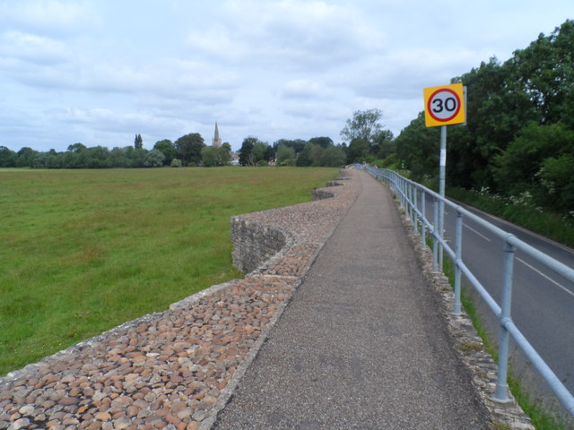
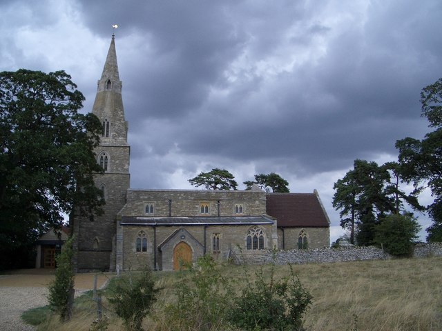
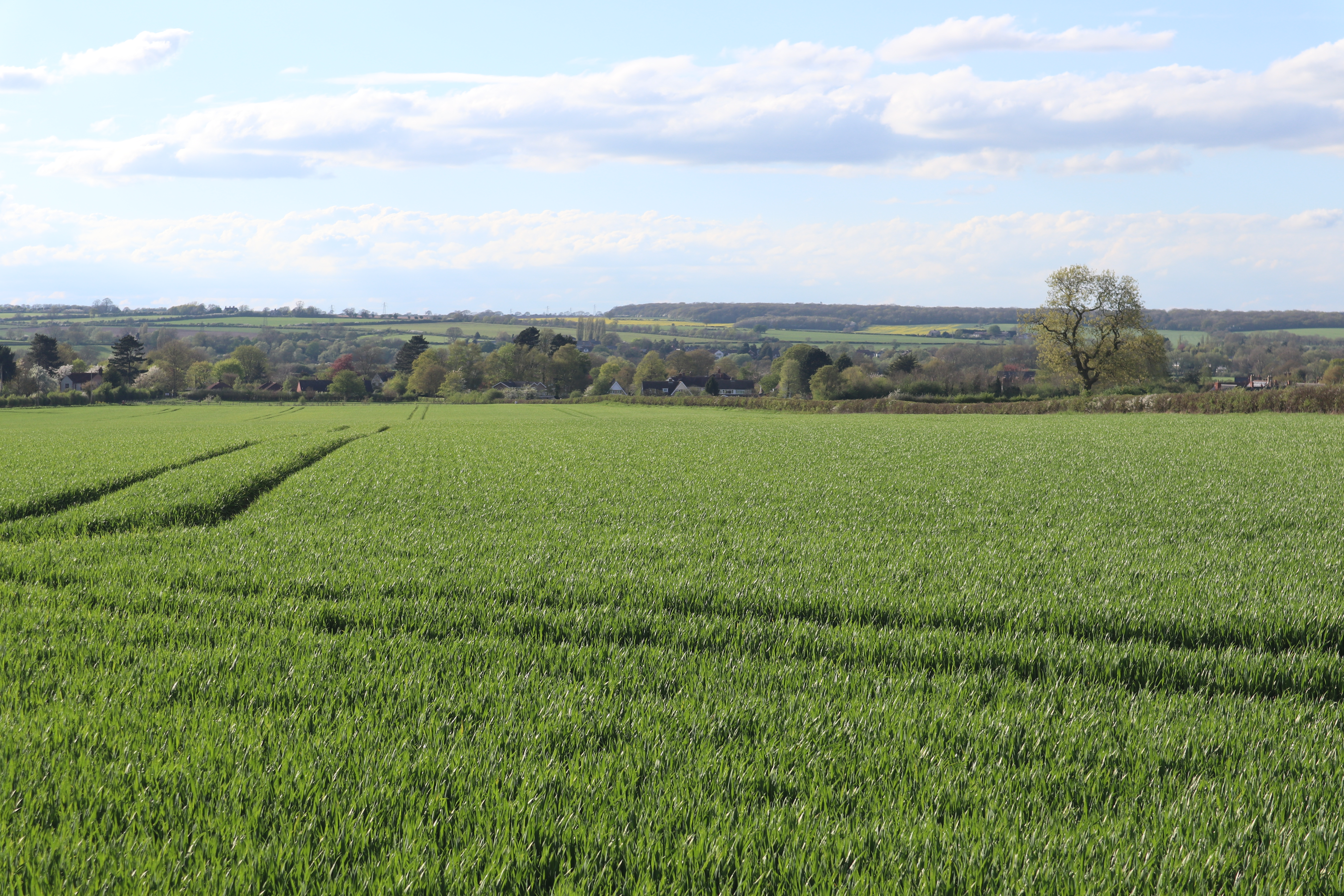
Freer's Wood Images

Images are sourced within 2km of 52.192379/-0.58110678 or Grid Reference SP9755. Thanks to Geograph Open Source API. All images are credited.

Carlton and Harrold from the air Carlton is the village to the left of centre, Harold is at the top, between the lakes.
Carlton and Harrold from the air
Carlton is the village to the left of centre, Harold is at the top, between the lakes.
St Peter & All Saints church, Harrold
Looking across the flood plain of the Great Ouse towards St Peter's Church, Harrold
Causeway leading to Harrold Bridge The causeway is about 6 feet above the level of the fields below
Causeway leading to Harrold Bridge
The causeway is about 6 feet above the level of the fields below
Harrold Bridge See <span class="nowrap"><a title="http://www.transportheritage.com/find-heritage-locations.html?sobi2Task=sobi2Details&sobi2Id=765" rel="nofollow ugc noopener" href="http://www.transportheritage.com/find-heritage-locations.html?sobi2Task=sobi2Details&sobi2Id=765">Link</a><img style="margin-left:2px;" alt="External link" title="External link - shift click to open in new window" src="https://s1.geograph.org.uk/img/external.png" width="10" height="10"/></span> This bridege was originally constructed in the 14th century but has undergone almost continuous repair and reconstruction since.
Harrold Bridge
See LinkExternal link This bridege was originally constructed in the 14th century but has undergone almost continuous repair and reconstruction since.
Road into Carlton According to <span class="nowrap"><a title="http://www.carltonwithchellington.co.uk/village_history.htm" rel="nofollow ugc noopener" href="http://www.carltonwithchellington.co.uk/village_history.htm">Link</a><img style="margin-left:2px;" alt="External link" title="External link - shift click to open in new window" src="https://s1.geograph.org.uk/img/external.png" width="10" height="10"/></span> this is the most southerly example of the use of the viking-derived name Carleton (meaning free man). It indicates that this was as far south as the Vikings got. The River Ouse formed a boundary to the Viking influence.
Road into Carlton
According to LinkExternal link this is the most southerly example of the use of the viking-derived name Carleton (meaning free man). It indicates that this was as far south as the Vikings got. The River Ouse formed a boundary to the Viking influence.
St Nicholas' Church, Chellington C12 church now used as a retreat centre. See <span class="nowrap"><a title="http://www.carltonwithchellington.co.uk/village_history.htm" rel="nofollow ugc noopener" href="http://www.carltonwithchellington.co.uk/village_history.htm">Link</a><img style="margin-left:2px;" alt="External link" title="External link - shift click to open in new window" src="https://s1.geograph.org.uk/img/external.png" width="10" height="10"/></span> for further information.
St Nicholas' Church, Chellington
C12 church now used as a retreat centre. See LinkExternal link for further information.
River Great Ouse at Odell Taken looking downstream from the footbridge across the river.
River Great Ouse at Odell
Taken looking downstream from the footbridge across the river.
St Peter, Harrold The tower dates from around 1290-1350 but the spire dates from any time thereafter to around 1530.
St Peter, Harrold
The tower dates from around 1290-1350 but the spire dates from any time thereafter to around 1530.
St Peter, Harrold The main part of the church dates from different times in the C13. According to Pevsner the positioning of a lancet window at the far end of the chancel suggests that the latter was once longer than it is today.
St Peter, Harrold
The main part of the church dates from different times in the C13. According to Pevsner the positioning of a lancet window at the far end of the chancel suggests that the latter was once longer than it is today.
River Great Ouse between Stevington - Pavenham
River Great Ouse near Pavenham As seen from the John Bunyan Trail footpath.
River Great Ouse near Pavenham
As seen from the John Bunyan Trail footpath.
High Street, Pavenham Most of the village is spread along High Street and looks like this.
High Street, Pavenham
Most of the village is spread along High Street and looks like this.
Spinney near Hill Barn, Pavenham
Hill Barn Farm Situated to the north-west of Pavenham
Hill Barn Farm
Situated to the north-west of Pavenham
Green's Spinney In remote countryside on a path between Pavenham and Odell.
Green's Spinney
In remote countryside on a path between Pavenham and Odell.
North Bedfordshire countryside This view is typical of the Jurassic Limestone country that is circumscribed by the circuitous course of the river Great Ouse between Pavenham and Odell. The woodland on the right is Green's Spinney.
North Bedfordshire countryside
This view is typical of the Jurassic Limestone country that is circumscribed by the circuitous course of the river Great Ouse between Pavenham and Odell. The woodland on the right is Green's Spinney.
Pathway between Pavenham - Odell This path makes a slow descent into the valley of the river Great Ouse. The hills on the opposite side of the valley can be seen on the horizon.
Pathway between Pavenham - Odell
This path makes a slow descent into the valley of the river Great Ouse. The hills on the opposite side of the valley can be seen on the horizon.
Show me another place!

Freer's Wood is located at Grid Ref: SP9755 (Lat: 52.192379, Lng: -0.58110678)

Unitary Authority: Bedford

Police Authority: Bedfordshire

What 3 Words

///toothpick.clan.guardian. Near Odell, Bedfordshire

Nearby Locations

Monks Wood Freer's Wood

Related Wikis

Chellington

Chellington is a village and former civil parish, now in the parish of Carlton and Chellington, in the Bedford district, in the ceremonial county of Bedfordshire...

Carlton, Bedfordshire

Carlton is a village and former civil parish, now in the parish of Carlton and Chellington, in the Bedford district, in the ceremonial county of Bedfordshire...

Stevington Marsh

Stevington Marsh is a 7.5-hectare (19-acre) biological Site of Special Scientific Interest in Pavenham in Bedfordshire. It was notified in 1987 under Section...
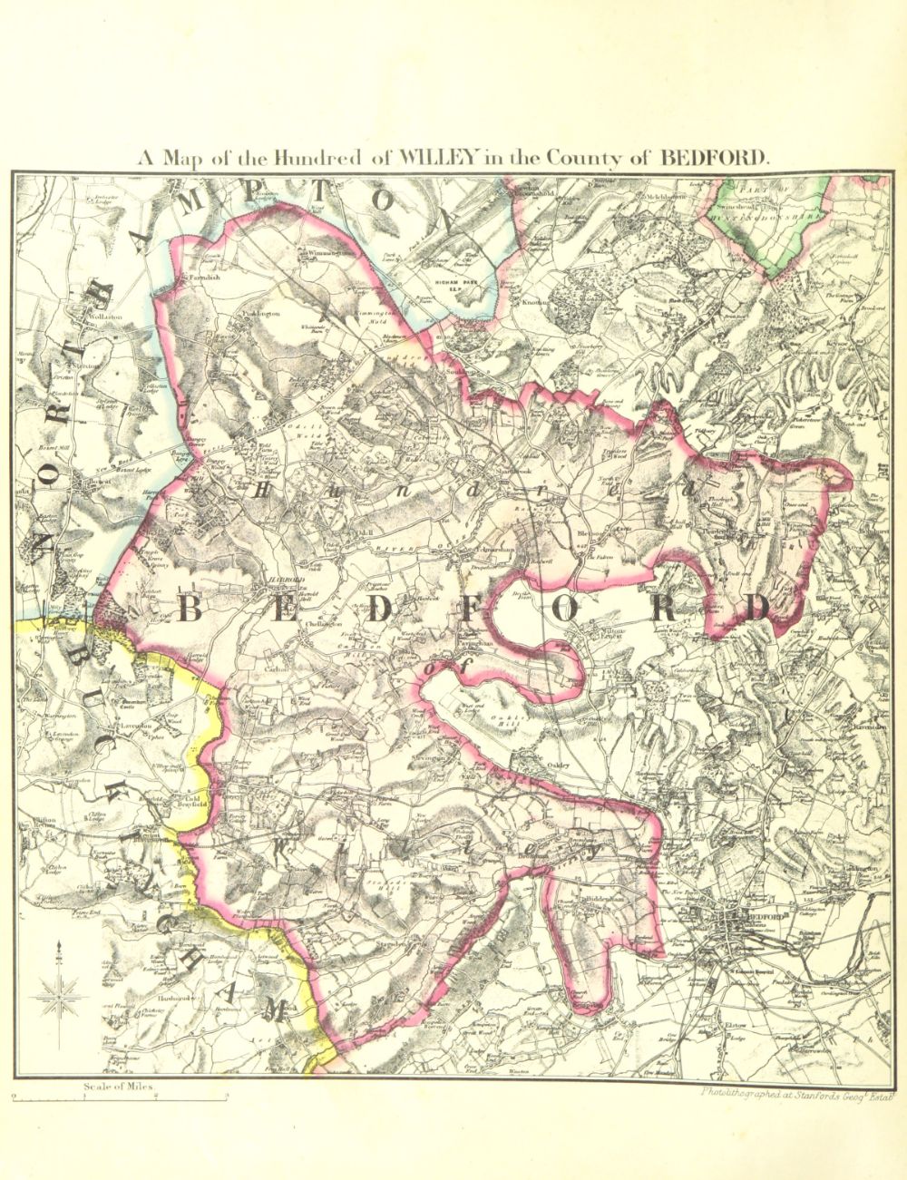
Hundred of Willey

The Hundred of Willey is a historical land division, a hundred in the northwest corner of Bedfordshire, England. Its northwestern boundary is the county...

Carlton with Chellington

Carlton with Chellington is a civil parish in the historical Hundred of Willey in Bedfordshire, England, and is within the Borough of Bedford. The parish...

Odell, Bedfordshire

Odell is a small village and civil parish in the Borough of Bedford, north Bedfordshire, England, approximately 7 miles (11 km) north-west of Bedford town...

Harrold Hall

Harrold Hall was a country house in Harrold, Bedfordshire, England. Dated to 1210, the house was demolished in 1961. == References ==

Harrold Priory

Harrold Priory was a priory in Harrold, Bedfordshire, England. It was established in 1138 and disestablished in 1536. == History == The priory of Harrold...

Nearby Amenities

Located within 500m of 52.192379,-0.58110678
Chellington lost village
Historic: ruins
Historic Civilization: medieval
Lat/Long: 52.1942216/-0.5834513
The data included in this document is from www.openstreetmap.org. The data is made available under ODbL.

Have you been to Freer's Wood?

Leave your review of Freer's Wood below (or comments, questions and feedback).