Calfsclose Spinney
Wood, Forest in Bedfordshire
England
Calfsclose Spinney
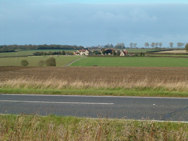
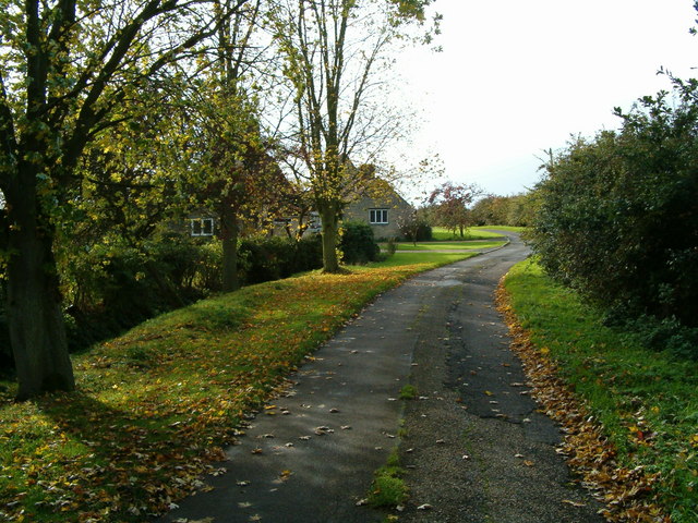
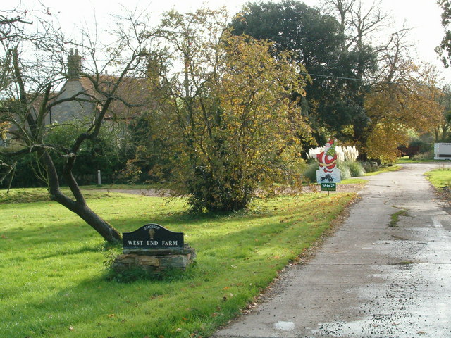
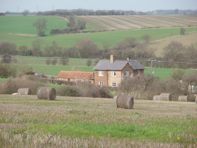
Calfsclose Spinney is a charming woodland located in Bedfordshire, England. Covering an area of approximately 10 acres, it is situated near the village of Calfsclose, hence the name. The spinney is surrounded by picturesque countryside, creating a peaceful and serene environment for visitors to enjoy.
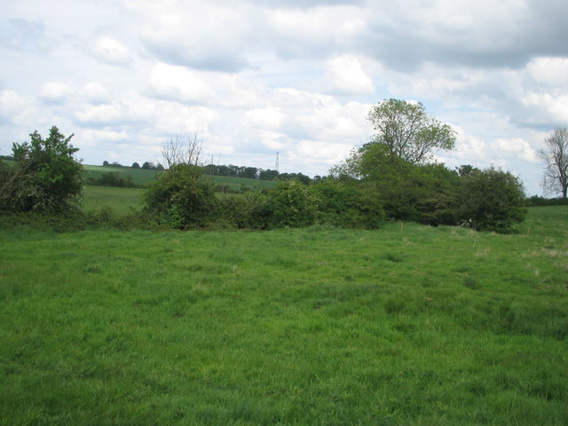
The woodland is predominantly composed of deciduous trees, including oak, beech, and ash, which provide a dense canopy overhead. This allows for a dappled sunlight effect to filter through, creating a beautiful ambiance within the spinney. The forest floor is covered in a thick layer of leaf litter, which adds to the tranquility and natural beauty of the area.
Calfsclose Spinney is home to a variety of wildlife, making it a popular spot for nature enthusiasts and birdwatchers. Visitors may spot common woodland creatures such as squirrels, rabbits, and foxes, as well as a wide range of bird species, including woodpeckers, blue tits, and robins. The spinney also boasts a diverse plant life, with wildflowers blooming in the spring and summer months.
The woodland is open to the public year-round, with a network of well-maintained footpaths allowing visitors to explore the area at their own pace. There are also designated picnic areas where visitors can relax and enjoy a meal surrounded by nature. Calfsclose Spinney provides a tranquil escape from the hustle and bustle of everyday life and offers an opportunity to immerse oneself in the beauty of nature.
If you have any feedback on the listing, please let us know in the comments section below.
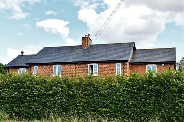
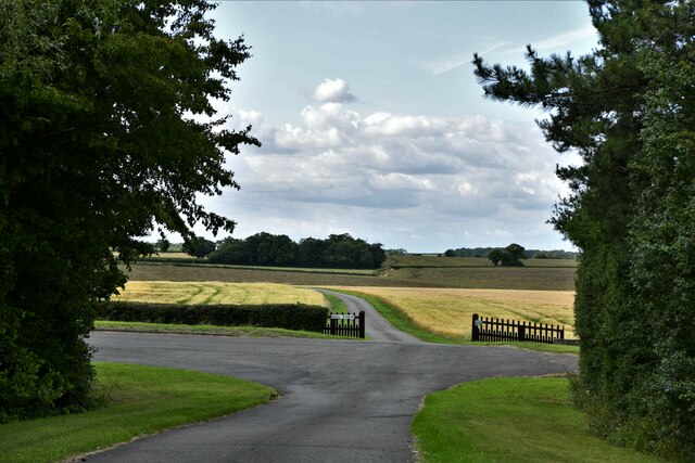
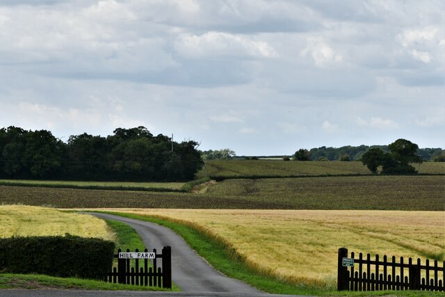
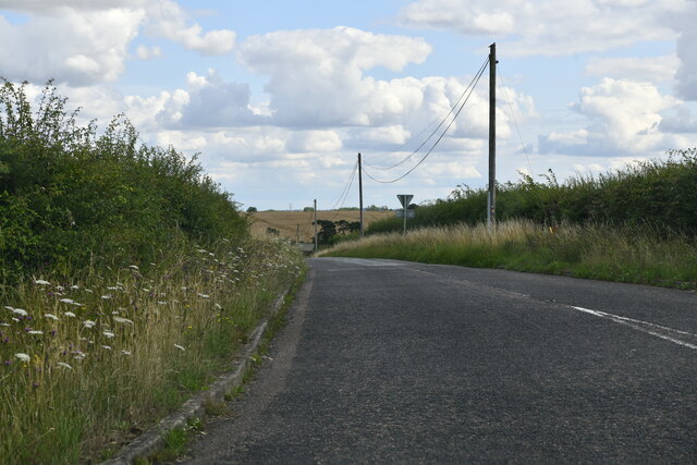
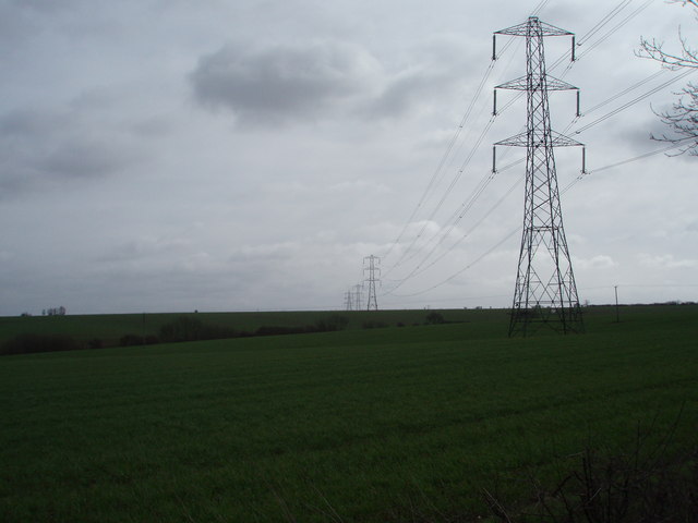
Calfsclose Spinney Images
Images are sourced within 2km of 52.110809/-0.58387278 or Grid Reference SP9746. Thanks to Geograph Open Source API. All images are credited.


Calfsclose Spinney is located at Grid Ref: SP9746 (Lat: 52.110809, Lng: -0.58387278)
Unitary Authority: Bedford
Police Authority: Bedfordshire
What 3 Words
///spurned.impresses.earl. Near Astwood, Buckinghamshire
Nearby Locations
Related Wikis

Astwood, Buckinghamshire
Astwood is a village in the unitary authority area of the City of Milton Keynes, Buckinghamshire, England. It is located on the border with Bedfordshire...

Stagsden
Stagsden is a small but historic village and civil parish located in the Borough of Bedford, northwest Bedfordshire, England, near the Buckinghamshire...

Church of St Leonard, Stagsden
Church of St Leonard is a Grade I listed church in Stagsden, Bedfordshire, England. It became a listed building on 13 July 1964. == See also == Grade...
Wood End, Bedfordshire
Wood End (or Kempston Wood End) is a small village located in the Borough of Bedford in Bedfordshire, England. The settlement was historically one of the...
Box End
Box End (or Kempston Box End) is a small village located in the Borough of Bedford in Bedfordshire, England. It is in the civil parish of Kempston Rural...
Bedfordshire Golf Club
Bedfordshire Golf Club is a golf club to the east of Stagsden, Bedfordshire, England. Established in 1891, it is the oldest golf club in Bedfordshire....
Wootton Upper School
Wootton Upper School is an academy school located on Hall End Road, in Wootton, England. It teaches years 9–11 in compulsory education and years 12–13...

Wootton House
Wootton House is a late 17th-century country house in Wootton, Bedfordshire, England. It is a Grade II* listed building.The house is built to a rectangular...
Nearby Amenities
Located within 500m of 52.110809,-0.58387278Have you been to Calfsclose Spinney?
Leave your review of Calfsclose Spinney below (or comments, questions and feedback).