Ashlee Wood
Wood, Forest in Sussex Arun
England
Ashlee Wood

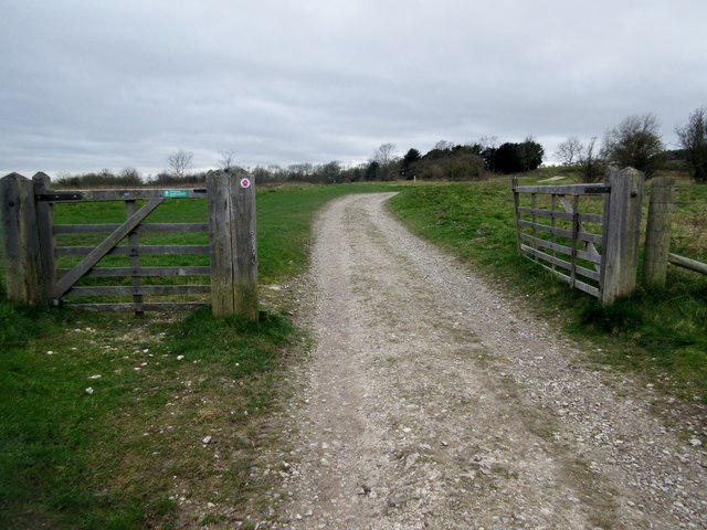
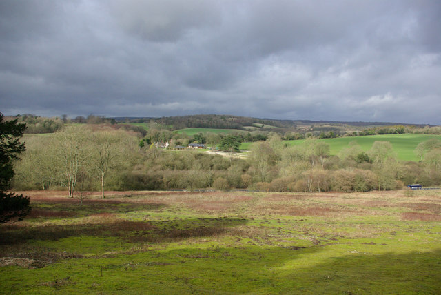
Ashlee Wood is a picturesque forest located in Sussex, England. Covering an area of approximately 200 acres, this woodland is known for its natural beauty and rich biodiversity. It is a popular destination for nature lovers, hikers, and photographers seeking tranquility and stunning scenery.
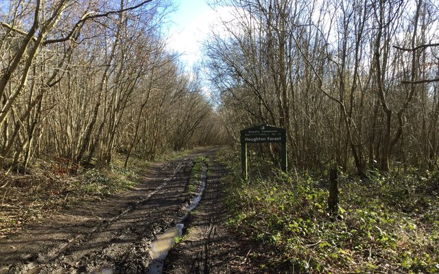
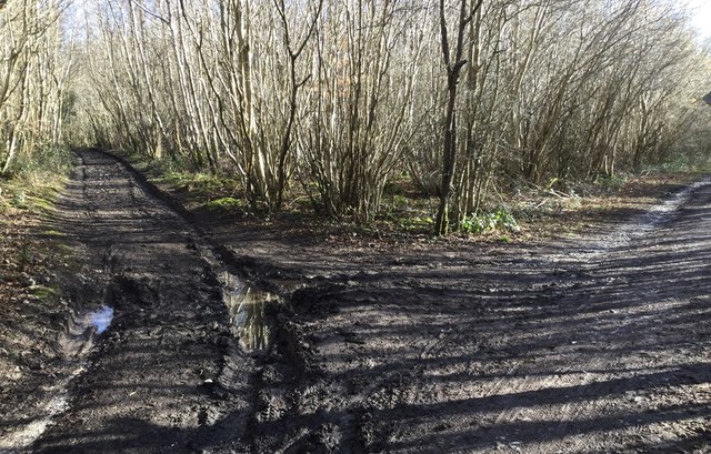
The forest is characterized by its dense canopy of tall oak, beech, and pine trees, creating a serene and peaceful atmosphere. Walking through Ashlee Wood, visitors can enjoy the fresh scent of pine and the soothing sound of birdsong. The forest floor is carpeted with a variety of wildflowers, ferns, and mosses, adding to its enchanting appeal.
Wildlife enthusiasts will be delighted to spot various animal species within the wood. Squirrels, rabbits, and deer are commonly seen, while lucky visitors may even catch a glimpse of elusive woodland creatures such as foxes and badgers. The forest is also home to numerous bird species, including woodpeckers, owls, and thrushes, making it a haven for birdwatchers.
Ashlee Wood offers several walking trails that cater to different fitness levels and interests. These well-maintained paths wind through the forest, allowing visitors to explore its hidden corners and discover secluded spots. The forest also features picnic areas and benches, providing opportunities for visitors to relax, have a meal, or simply soak in the natural surroundings.
Overall, Ashlee Wood is a captivating destination that offers a peaceful escape from the hustle and bustle of everyday life. Its stunning landscapes, diverse wildlife, and tranquil ambiance make it a must-visit location for nature enthusiasts and those seeking solace in the beauty of the natural world.
If you have any feedback on the listing, please let us know in the comments section below.
Ashlee Wood Images
Images are sourced within 2km of 50.890217/-0.62158814 or Grid Reference SU9710. Thanks to Geograph Open Source API. All images are credited.


Ashlee Wood is located at Grid Ref: SU9710 (Lat: 50.890217, Lng: -0.62158814)
Administrative County: West Sussex
District: Arun
Police Authority: Sussex
What 3 Words
///audio.casino.alley. Near Fontwell, West Sussex
Nearby Locations
Related Wikis

Dale Park
Dale Park was an English country house in Madehurst, West Sussex. == History == In 1780, Sir George Thomas, 3rd Baronet created Dale Park near Madehurst...

Madehurst
Madehurst is a small village and civil parish in the Arun District of West Sussex, England on the south slopes of the South Downs in the South Downs National...

Barkhale Camp
Barkhale Camp is a Neolithic causewayed enclosure, an archaeological site on Bignor Hill, on the South Downs in West Sussex, England. Causewayed enclosures...
Nore Folly
Nore Folly (also known as Slindon Folly) is a stone construction located near the village of Slindon, West Sussex, United Kingdom. The folly resembles...
Fairmile Bottom
Fairmile Bottom is a 70.2-hectare (173-acre) biological Site of Special Scientific Interest north-west of Arundel in West Sussex. An area of 61.3 hectares...

Bignor Hill
Bignor Hill is a hill near Bignor in Sussex. The South Downs Way passes over the hill. Near the summit are the remains of a memorial to Toby Wentworth...

Slindon
Slindon is a mostly rural village and civil parish in the Arun District of West Sussex, England, containing a developed nucleus amid woodland. Much of...
Bury Hill, Arundel
Bury Hill is an area of West Sussex, England, north of Arundel and southwest of Bury. In the 18th century, its name may have sometimes been spelled Berry...
Nearby Amenities
Located within 500m of 50.890217,-0.62158814Have you been to Ashlee Wood?
Leave your review of Ashlee Wood below (or comments, questions and feedback).