Long Wood
Wood, Forest in Lincolnshire South Kesteven
England
Long Wood

Long Wood is a vast forest located in the county of Lincolnshire, England. Covering an extensive area of approximately 500 acres, it is one of the largest remaining woodlands in the region. The forest is situated on the outskirts of the small village of Long, hence its name.
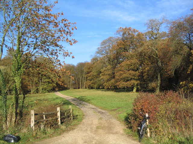
Long Wood is characterized by a diverse range of tree species, including oak, beech, ash, and birch, among others. The dense canopy provides a habitat for a variety of wildlife, making it an important conservation area. The forest is home to numerous bird species, including woodpeckers, owls, and various songbirds. Mammals such as deer, foxes, and rabbits also inhabit the woodland.
The forest offers a serene and tranquil environment, making it a popular destination for nature lovers, hikers, and photographers. Several well-marked trails wind through the wood, allowing visitors to explore its beauty on foot. These paths provide an opportunity to experience the rich flora and fauna that thrives within the forest.
Long Wood has a long history, with evidence of human presence dating back to ancient times. The woodland has been used for various purposes over the years, including timber production and hunting. Today, it is managed by local authorities with the aim of preserving its natural beauty and ecological significance.
Visitors to Long Wood can enjoy picnicking in designated areas, birdwatching, or simply immersing themselves in the peaceful ambiance of the forest. The wood also serves as an educational resource, with guided tours and educational programs available to schools and other groups.
Overall, Long Wood in Lincolnshire is a magnificent forest, teeming with life and offering a haven of natural beauty for all who venture into its depths.
If you have any feedback on the listing, please let us know in the comments section below.
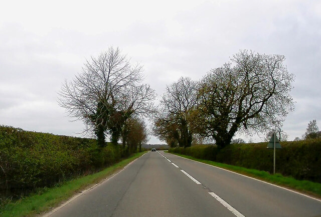
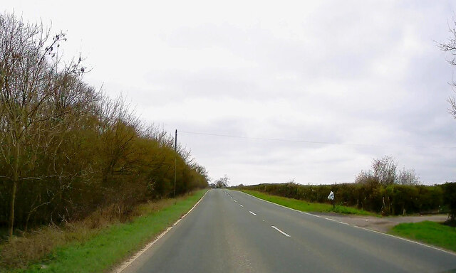
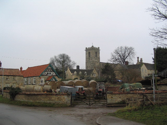
Long Wood Images
Images are sourced within 2km of 52.809299/-0.56244034 or Grid Reference SK9624. Thanks to Geograph Open Source API. All images are credited.


Long Wood is located at Grid Ref: SK9624 (Lat: 52.809299, Lng: -0.56244034)
Administrative County: Lincolnshire
District: South Kesteven
Police Authority: Lincolnshire
What 3 Words
///tomato.equal.eradicate. Near Corby Glen, Lincolnshire
Nearby Locations
Related Wikis

Beltisloe
Beltisloe is a Deanery of the Diocese of Lincoln in England, and a former Wapentake.The Wapentake of Beltisloe was established as an ancient administrative...

Burton Coggles
Burton Coggles (full name Burton-le-Coggles from Byrton-en-les-Coggles) is a small village and civil parish in the South Kesteven district of Lincolnshire...

Corby Glen railway station
Corby Glen railway station was a station on the Great Northern Railway main line serving Corby Glen, Lincolnshire. It was west of the village on the Melton...

Twyford Wood
Twyford Wood, formerly known as Twyford Forest, is a commercial wood around grid reference SK948230 in Lincolnshire owned by the Forestry Commission, England...

Swayfield
Swayfield is a village and civil parish in the South Kesteven district of Lincolnshire, England. The population of the civil parish at the 2011 census...
Corby Glen
Corby Glen is a village and civil parish in the South Kesteven district of Lincolnshire, England. It is approximately 9 miles (14 km) south-east of the...
RAF North Witham
Royal Air Force North Witham or more simply RAF North Witham is a former Royal Air Force station located in Twyford Wood, off the A1 between Stamford and...

Charles Read Academy
Charles Read Academy is a co-educational secondary school located in Corby Glen, Lincolnshire, England. It serves the villages between Stamford, Bourne...
Nearby Amenities
Located within 500m of 52.809299,-0.56244034Have you been to Long Wood?
Leave your review of Long Wood below (or comments, questions and feedback).