Cockrah Wood
Wood, Forest in Yorkshire Scarborough
England
Cockrah Wood
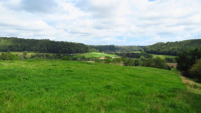
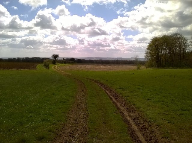
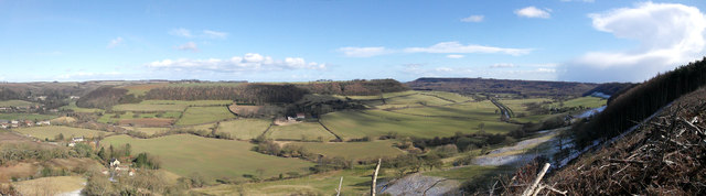
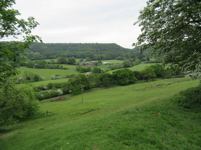
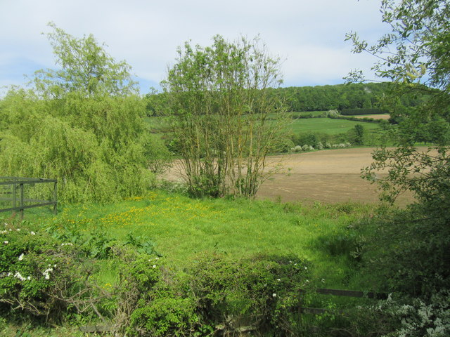
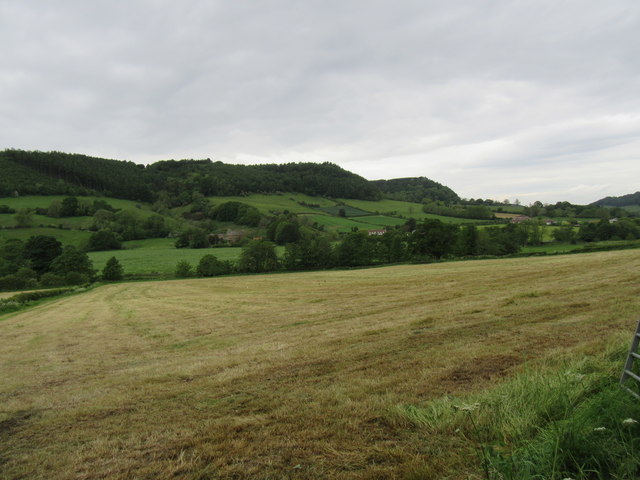
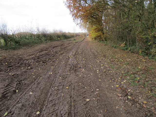
Cockrah Wood, located in Yorkshire, is a picturesque woodland area renowned for its natural beauty and diverse wildlife. Covering a vast expanse, the wood is a popular destination for nature lovers, hikers, and bird watchers alike.
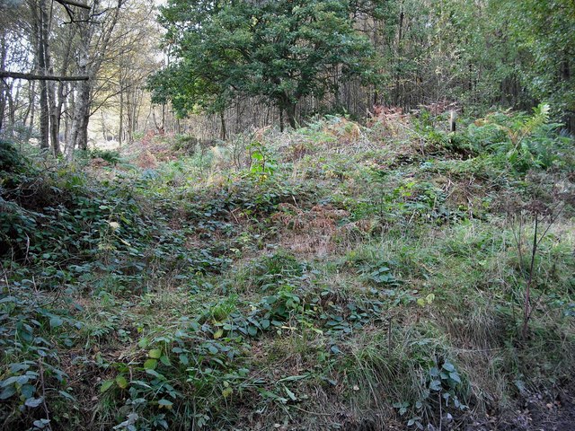
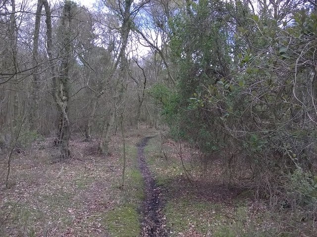
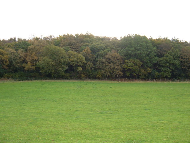
The wood is characterized by its dense canopy of mature trees, primarily consisting of oak, beech, and birch. These towering giants create a tranquil and shaded atmosphere, ideal for those seeking solace in nature. The forest floor is carpeted with a rich assortment of flora, including bluebells, foxgloves, and wild garlic, providing a vibrant burst of color during the spring and summer months.
Cockrah Wood is home to a wide array of wildlife, making it a haven for animal enthusiasts. Visitors may catch a glimpse of red deer, foxes, badgers, and rabbits, which inhabit the woodland. Birdwatchers will also be delighted by the presence of various avian species, including woodpeckers, owls, and warblers. The wood's peaceful ambiance and abundance of food sources attract these creatures, creating an ecosystem teeming with life.
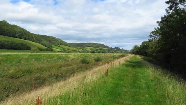
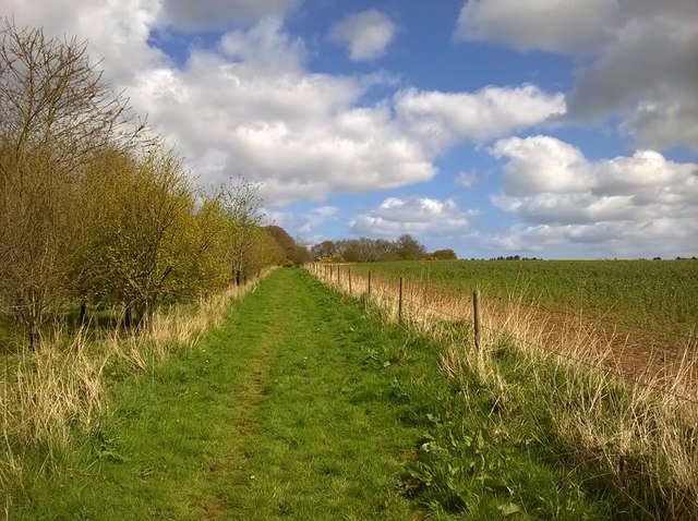
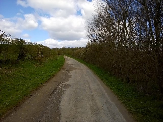
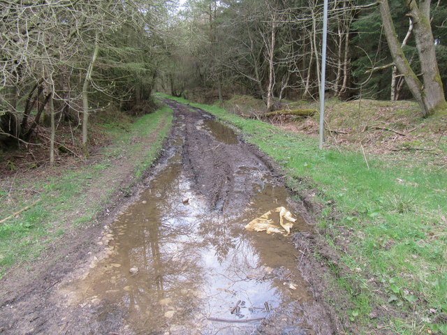
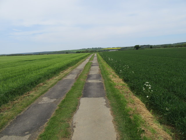
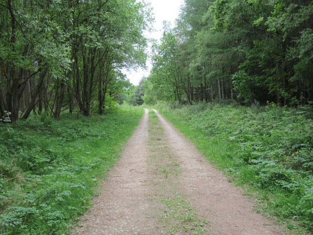
For those seeking recreational activities, Cockrah Wood offers several marked trails for hiking and walking. These paths wind through the wood, allowing visitors to immerse themselves in its natural splendor and discover hidden gems along the way. Additionally, the wood provides an excellent setting for photography, with its picturesque landscapes and diverse wildlife offering countless opportunities for capturing the perfect shot.
Cockrah Wood is a true gem of Yorkshire, offering a tranquil escape from the hustle and bustle of everyday life. Its natural beauty and abundant wildlife make it an idyllic destination for nature enthusiasts and a must-visit for anyone exploring the region.
If you have any feedback on the listing, please let us know in the comments section below.
Cockrah Wood Images
Images are sourced within 2km of 54.280876/-0.51320016 or Grid Reference SE9688. Thanks to Geograph Open Source API. All images are credited.
Cockrah Wood is located at Grid Ref: SE9688 (Lat: 54.280876, Lng: -0.51320016)
Division: North Riding
Administrative County: North Yorkshire
District: Scarborough
Police Authority: North Yorkshire
What 3 Words
///brushing.willpower.reunion. Near East Ayton, North Yorkshire
Nearby Locations
Related Wikis

Suffield-cum-Everley
Suffield-cum-Everley is a civil parish in the Scarborough district of North Yorkshire, England. According to the 2011 UK census, the parish (including...

Forge Valley
Forge Valley is a national nature reserve in the Scarborough district of North Yorkshire, England, located within the North York Moors National Park on...
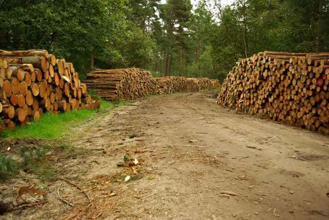
Wykeham Forest
Wykeham Forest is a 2,760-acre (1,115-hectare) woodland 6 miles (9.7 km) in the North York Moors National Park, near to Wykeham, west of Scarborough, England...

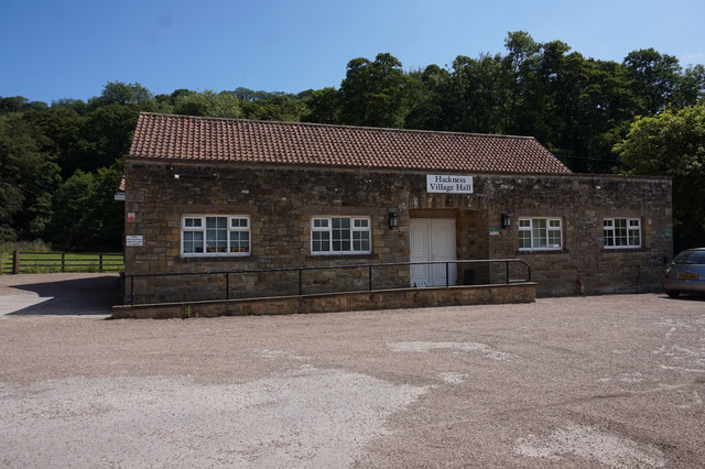
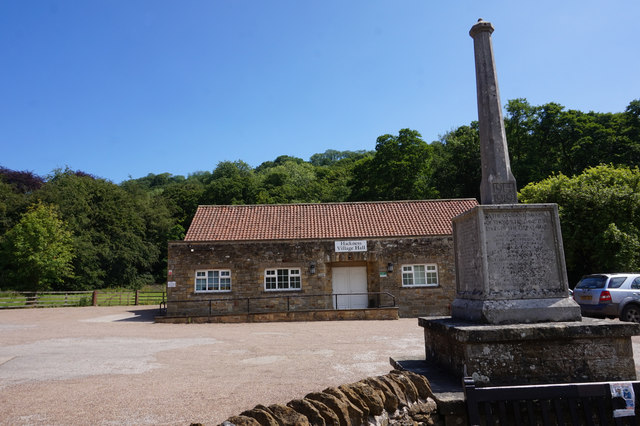
Hackness
Hackness is a village and civil parish in the Scarborough district of the county of North Yorkshire, England. It lies within the North York Moors National...
Raincliffe Woods
Raincliffe Woods are situated to the north-west of Scarborough, North Yorkshire, England. They form an "L" shape with Forge Valley Woods and the River...
Suffield, North Yorkshire
Suffield is a hamlet in the parish of Suffield-cum-Everley in the Scarborough district of North Yorkshire, England. the hamlet is 4.5 miles (7.2 km) north...

Ayton Castle, North Yorkshire
Ayton Castle is a ruined Grade I listed 14th century pele tower castle near West Ayton, North Yorkshire, England. == Location == The castle is sited at...

East Ayton
East Ayton is a village and civil parish in the Scarborough district of North Yorkshire, England. According to the 2011 UK census, East Ayton parish...
Nearby Amenities
Located within 500m of 54.280876,-0.51320016Have you been to Cockrah Wood?
Leave your review of Cockrah Wood below (or comments, questions and feedback).