Hillside Plantation
Wood, Forest in Lincolnshire South Kesteven
England
Hillside Plantation

Hillside Plantation, located in Lincolnshire, England, is a picturesque woodland area known for its natural beauty and diverse ecosystem. Covering an expansive area, this plantation is a haven for nature enthusiasts, offering a tranquil escape from the bustling city life.
The plantation is predominantly comprised of woodlands and forests, characterized by a variety of tree species such as oak, beech, and birch. These towering trees provide a dense canopy, creating a shaded and cool environment perfect for leisurely walks and exploration.
The rich biodiversity of Hillside Plantation is evident in its vibrant wildlife. The forest is home to numerous species of birds, including woodpeckers, nightingales, and owls, making it a popular destination for birdwatchers. Additionally, small mammals like squirrels, rabbits, and foxes can be spotted throughout the plantation, adding to the enchanting atmosphere.
Visitors to Hillside Plantation can enjoy a multitude of recreational activities. Miles of well-maintained trails allow for hiking, jogging, and cycling, providing opportunities to immerse oneself in the natural surroundings. The plantation also offers designated picnic areas, where families and friends can gather and enjoy a meal amidst the serene atmosphere.
Conservation efforts are a priority at Hillside Plantation, with dedicated areas set aside for the protection of endangered plant and animal species. Educational programs and guided tours are available for those interested in learning more about the importance of environmental preservation.
In conclusion, Hillside Plantation in Lincolnshire is a captivating destination for nature lovers and outdoor enthusiasts. With its lush woodlands, diverse wildlife, and recreational activities, it offers a captivating and enriching experience for visitors of all ages.
If you have any feedback on the listing, please let us know in the comments section below.
Hillside Plantation Images
Images are sourced within 2km of 52.993182/-0.56169045 or Grid Reference SK9644. Thanks to Geograph Open Source API. All images are credited.


Hillside Plantation is located at Grid Ref: SK9644 (Lat: 52.993182, Lng: -0.56169045)
Administrative County: Lincolnshire
District: South Kesteven
Police Authority: Lincolnshire
What 3 Words
///heartburn.nourished.holds. Near Ancaster, Lincolnshire
Nearby Locations
Related Wikis

Sudbrook, Lincolnshire
Sudbrook is a hamlet in the South Kesteven district of Lincolnshire, England. It is situated 12 miles (19 km) south-east of Newark-on-Trent, 6 miles (10...
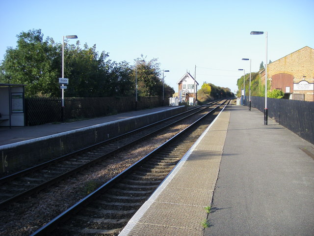
Ancaster railway station
Ancaster railway station serves the village of Ancaster in Lincolnshire, England. The station is 11.5 miles (19 km) north of Grantham on the Nottingham...
Carlton Scroop
Carlton Scroop is a small village and civil parish in the South Kesteven district of Lincolnshire, England. The population of the civil parish (including...

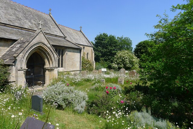
St Martin's Church, Ancaster
St Martin's Church is a Grade I listed Anglican church, dedicated to Martin of Tours, in Ancaster, Lincolnshire, England. The church is 6 miles (10 km...
Nearby Amenities
Located within 500m of 52.993182,-0.56169045Have you been to Hillside Plantation?
Leave your review of Hillside Plantation below (or comments, questions and feedback).