Lord's Copse

Wood, Forest in Surrey Waverley

England

Lord's Copse

Church of St Peter
Church of St Peter Credit: Alex McGregor

Lord's Copse is a picturesque woodland located in the county of Surrey, England. Stretching across an area of approximately 50 acres, this enchanting forest is nestled on the outskirts of the village of Surrey Hills, offering a serene and tranquil escape from the bustling city life.

The copse is primarily composed of a variety of deciduous trees, including oak, beech, and birch, which create a dense canopy overhead, filtering the sunlight and casting dappled shadows on the forest floor. The undergrowth is rich and diverse, with a carpet of wildflowers, ferns, and moss, providing a habitat for a myriad of wildlife.

A network of well-maintained footpaths meanders through the copse, allowing visitors to explore its hidden corners and discover its natural beauty. As one walks along these paths, the soothing sounds of birdsong and the rustle of leaves underfoot create a harmonious symphony that enhances the sensory experience.

Lord's Copse is a haven for nature enthusiasts and bird watchers alike. The copse is home to a wide array of bird species, including woodpeckers, thrushes, and owls, which can be spotted and heard throughout the year. Squirrels scamper among the trees, while rabbits and deer occasionally make appearances, adding to the charm and allure of the woodland.

With its breathtaking scenery and peaceful ambiance, Lord's Copse offers visitors the perfect opportunity to unwind and reconnect with nature. Whether one seeks solitude, a spot for a leisurely picnic, or an idyllic location for a nature walk, this enchanting woodland is sure to captivate and inspire all who venture within its leafy embrace.

If you have any feedback on the listing, please let us know in the comments section below.

Lord's Copse Images

Images are sourced within 2km of 51.125019/-0.62164225 or Grid Reference SU9637. Thanks to Geograph Open Source API. All images are credited.

Church of St Peter
Church of St Peter
Toll House, Chiddingfold What looks to be an ex-toll house. The brick fabric looks late for a toll house so may well have served the Petworth Turnpike Trust in its dying years. It would have replaced a Toll House SSE on the North side of the ford/bridge at Northbridge.

Milestone Society National ID: SY.CHI
Toll House, Chiddingfold
What looks to be an ex-toll house. The brick fabric looks late for a toll house so may well have served the Petworth Turnpike Trust in its dying years. It would have replaced a Toll House SSE on the North side of the ford/bridge at Northbridge. Milestone Society National ID: SY.CHI
Ridgley Road at the junction of Coxcomb Lane
Cottage on Combe Lane, Chiddingfold
Shops on The Green, Chiddingfold
Shops on The Green, Chiddingfold A very small Boots, one of the few large chains who kept their village shops as well.
Shops on The Green, Chiddingfold
A very small Boots, one of the few large chains who kept their village shops as well.
House on The Green, Chiddingfold
Phillips of Wormley
Phillips of Wormley
The Winterton Arms, Chiddingfold
Houses on Petworth Road, Chiddingfold
Petworth Road, Chiddingfold
Old house on Petworth Road, Chiddingfold
A283, Chiddingfold The A283 runs 37 miles from Milford near Guildford south to Shoreham-on-Sea across rural Surrey and West Sussex.
<span class="nowrap"><a title="https://www.sabre-roads.org.uk/wiki/index.php?title=A283" rel="nofollow ugc noopener" href="https://www.sabre-roads.org.uk/wiki/index.php?title=A283">Link</a><img style="margin-left:2px;" alt="External link" title="External link - shift click to open in new window" src="https://s1.geograph.org.uk/img/external.png" width="10" height="10"/></span>
A283, Chiddingfold
The A283 runs 37 miles from Milford near Guildford south to Shoreham-on-Sea across rural Surrey and West Sussex. LinkExternal link
The Swan Inn
The Swan Inn
Church of St Mary Chiddingfold is a village and civil parish in the heart of The Weald in the Waverley district of Surrey. It lies on the A283 between Milford and Petworth.
Wikipedia: <span class="nowrap"><a title="http://en.wikipedia.org/wiki/Chiddingfold" rel="nofollow ugc noopener" href="http://en.wikipedia.org/wiki/Chiddingfold">Link</a><img style="margin-left:2px;" alt="External link" title="External link - shift click to open in new window" src="https://s1.geograph.org.uk/img/external.png" width="10" height="10"/></span>
Church of St Mary
Chiddingfold is a village and civil parish in the heart of The Weald in the Waverley district of Surrey. It lies on the A283 between Milford and Petworth. Wikipedia: LinkExternal link
A283 at The Winterton Arms The A283 runs 37 miles from Milford near Guildford south to Shoreham-on-Sea across rural Surrey and West Sussex.
<span class="nowrap"><a title="https://www.sabre-roads.org.uk/wiki/index.php?title=A283" rel="nofollow ugc noopener" href="https://www.sabre-roads.org.uk/wiki/index.php?title=A283">Link</a><img style="margin-left:2px;" alt="External link" title="External link - shift click to open in new window" src="https://s1.geograph.org.uk/img/external.png" width="10" height="10"/></span>
A283 at The Winterton Arms
The A283 runs 37 miles from Milford near Guildford south to Shoreham-on-Sea across rural Surrey and West Sussex. LinkExternal link
Hambledon - National Trust cottages The National Trust were left a number (13 I believe) of cottages in and around the village of Hambledon by local generous benefactors. Most of these cottages are now let out by the Trust on long-term leases and cannot be visited by the public - such as the one on the right in this image. However, one cottage "Oakhurst Cottage" can be viewed by prior arrangement (see <span class="nowrap"><a title="https://www.nationaltrust.org.uk/oakhurst-cottage" rel="nofollow ugc noopener" href="https://www.nationaltrust.org.uk/oakhurst-cottage">Link</a><img style="margin-left:2px;" alt="External link" title="External link - shift click to open in new window" src="https://s1.geograph.org.uk/img/external.png" width="10" height="10"/></span> ) - and this can be seen on the left here - and here <a href="https://www.geograph.org.uk/photo/5783968">SU9637 : Oakhurst Cottage, Hambledon</a>
Hambledon - National Trust cottages
The National Trust were left a number (13 I believe) of cottages in and around the village of Hambledon by local generous benefactors. Most of these cottages are now let out by the Trust on long-term leases and cannot be visited by the public - such as the one on the right in this image. However, one cottage "Oakhurst Cottage" can be viewed by prior arrangement (see LinkExternal link ) - and this can be seen on the left here - and here SU9637 : Oakhurst Cottage, Hambledon
Show me another place!

Lord's Copse is located at Grid Ref: SU9637 (Lat: 51.125019, Lng: -0.62164225)

Administrative County: Surrey

District: Waverley

Police Authority: Surrey

What 3 Words

///saying.ruling.invest. Near Chiddingfold, Surrey

Related Wikis

Oakhurst Cottage

Oakhurst Cottage is a tiny 16th or 17th-century cottage in Hambledon, Surrey, in the United Kingdom. It is a Grade II listed building.The cottage was given...

Tigbourne Court

Tigbourne Court is an Arts and Crafts style country house in Wormley, Surrey, England, 1 mile (1.6 km) south of Witley. It was designed by architect Edwin...

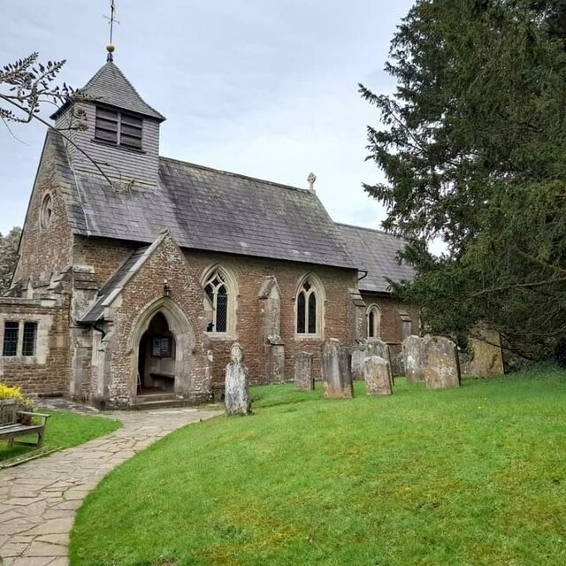
St Teresa of Avila Church, Chiddingfold

St Teresa of Avila Church is a Roman Catholic Parish church in Chiddingfold, Surrey. It is situated on the corner of Petworth Road and Woodside Road in...

St Dominic's School

St. Dominic's School in Hambledon, Surrey, England is a co-educational day school, one of the oldest special schools in the United Kingdom. It specialises...

Hambledon, Surrey

Hambledon is a rural scattered village in the Waverley borough of Surrey, situated south of Guildford. It is dominated by a buffer zone of fields and woodland...
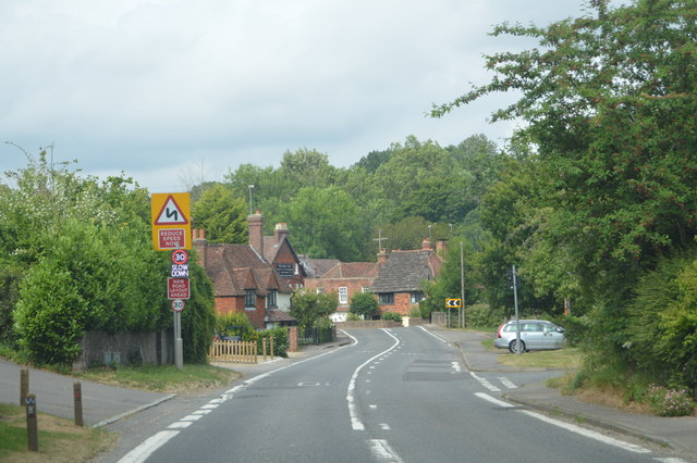
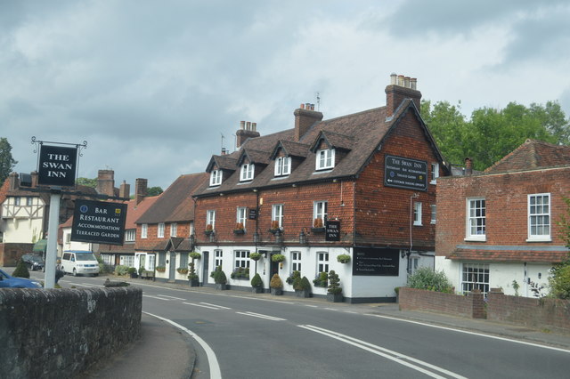
Chiddingfold

Chiddingfold is a village and civil parish in the Weald in the Waverley district of Surrey, England. It lies on the A283 road between Milford and Petworth...

Witley railway station

Witley railway station is a station on the Portsmouth Direct Line in Surrey, England. It is 38 miles 36 chains (61.9 km) down the line from London Waterloo...

King Edward's School, Witley

King Edward's Witley is a private co-educational boarding and day school, founded in 1553 by King Edward VI and Nicholas Ridley, Bishop of London and Westminster...

Nearby Amenities

Located within 500m of 51.125019,-0.62164225
Hambledon Hurst
Place: locality
Lat/Long: 51.1272719/-0.6259942
The data included in this document is from www.openstreetmap.org. The data is made available under ODbL.

Have you been to Lord's Copse?

Leave your review of Lord's Copse below (or comments, questions and feedback).