High Spring
Wood, Forest in Hertfordshire Dacorum
England
High Spring
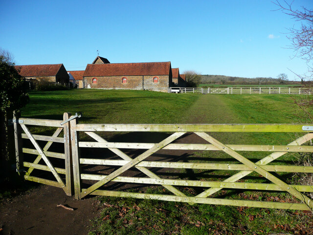
High Spring, Hertfordshire is a picturesque woodland area located in the southeastern region of England. Situated in the county of Hertfordshire, High Spring is renowned for its stunning natural beauty and dense forests.
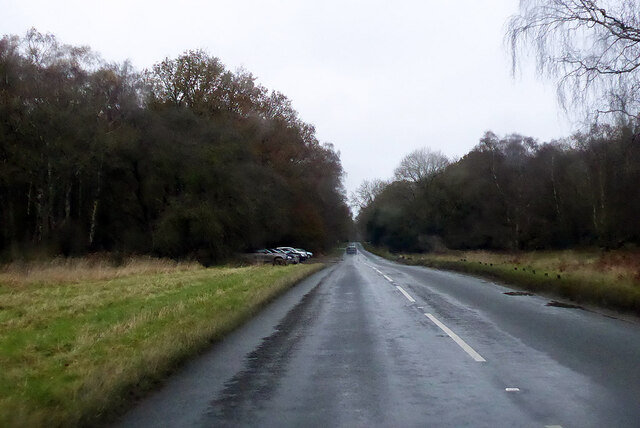
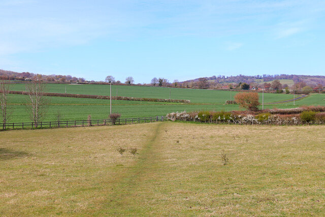
Covering an area of approximately 500 acres, the woodlands of High Spring offer a peaceful and tranquil retreat for nature enthusiasts and outdoor lovers. The area is characterized by its diverse range of tree species, including oak, beech, and pine trees, which create a rich and vibrant landscape throughout the year.
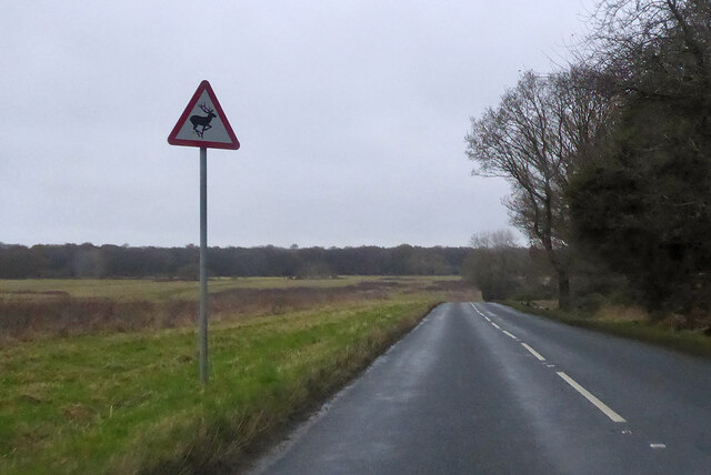
High Spring is home to a variety of wildlife, making it a popular destination for birdwatching and nature walks. Visitors can expect to spot a wide range of bird species, including woodpeckers, jays, and various songbirds. Additionally, the woodlands provide a habitat for mammals such as deer, foxes, and squirrels, adding to the area's biodiversity.
The woodlands of High Spring are crisscrossed by a network of well-maintained footpaths, allowing visitors to explore the area at their own pace. These trails offer scenic views of the surrounding countryside and provide opportunities for leisurely walks, jogging, or cycling.
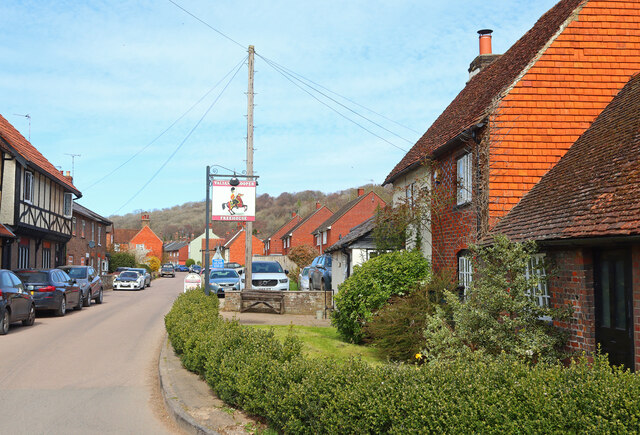
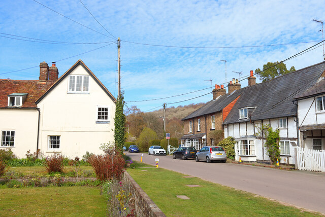
High Spring is conveniently located near the town of Hertford, which offers a range of amenities, including shops, restaurants, and accommodation options. The woodlands are easily accessible by both car and public transportation, making it a popular destination for day trips or longer stays.
Overall, High Spring, Hertfordshire is a beautiful woodland area that offers a tranquil escape from the hustle and bustle of everyday life. With its diverse flora and fauna, well-marked trails, and convenient location, it is a must-visit destination for nature lovers and outdoor enthusiasts.
If you have any feedback on the listing, please let us know in the comments section below.
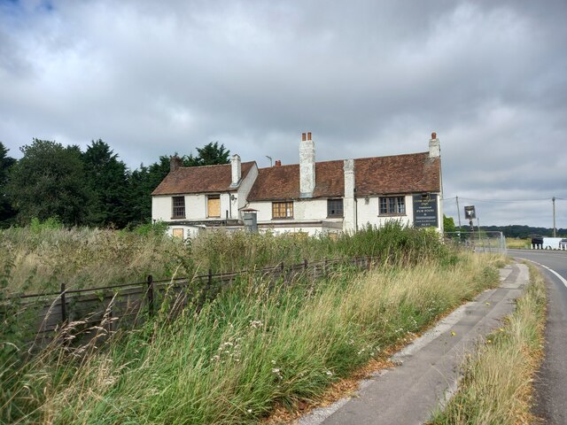
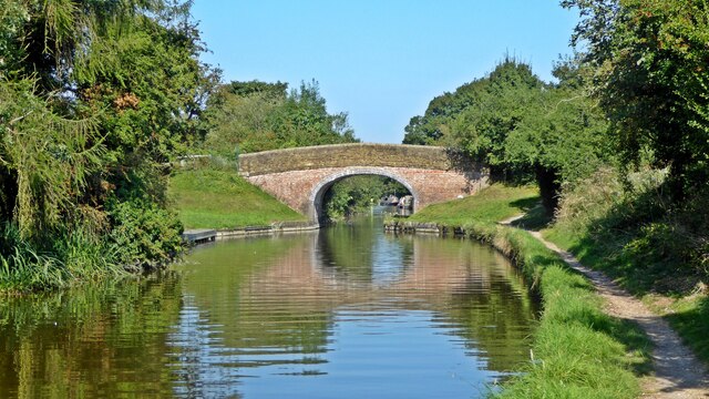
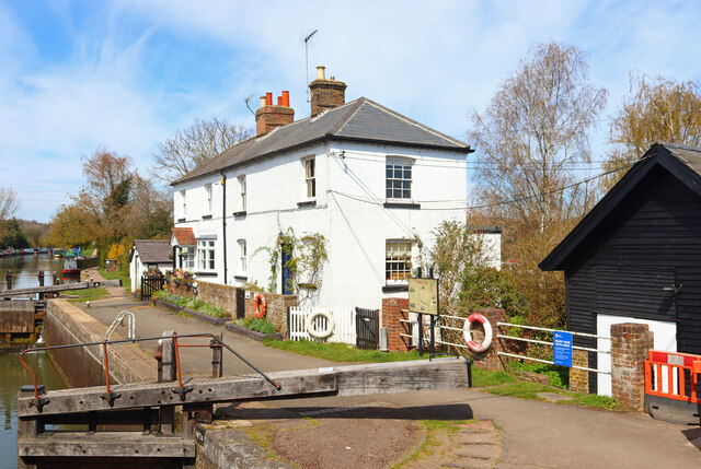
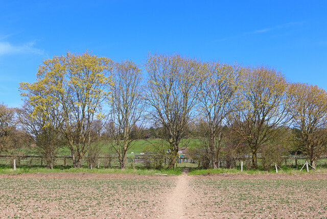
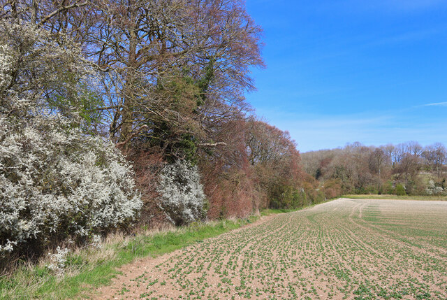
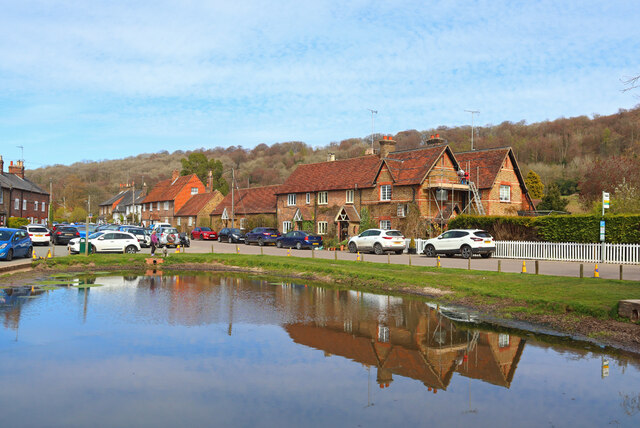
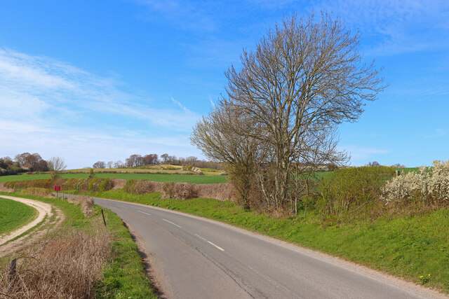
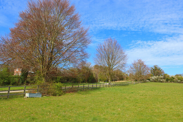
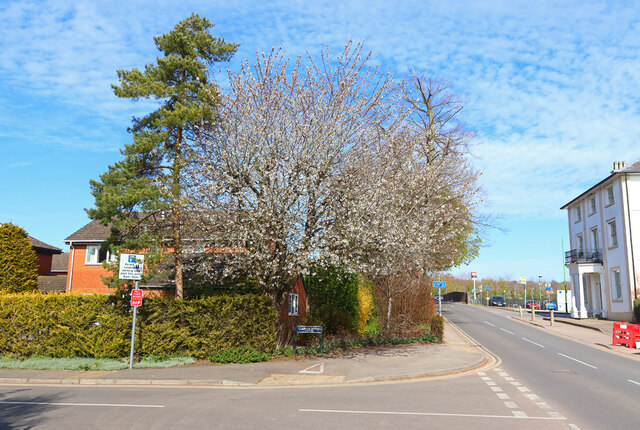
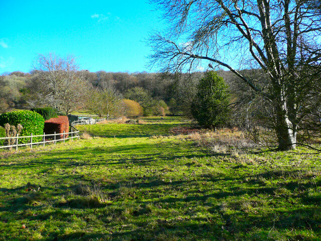
High Spring Images
Images are sourced within 2km of 51.788905/-0.60248683 or Grid Reference SP9610. Thanks to Geograph Open Source API. All images are credited.

High Spring is located at Grid Ref: SP9610 (Lat: 51.788905, Lng: -0.60248683)
Administrative County: Hertfordshire
District: Dacorum
Police Authority: Hertfordshire
What 3 Words
///offers.skunks.hiring. Near Tring, Hertfordshire
Nearby Locations
Related Wikis

Cow Roast
Cow Roast (sometimes written as Cowroast) is a hamlet within the civil parishes of Northchurch and Wigginton in Hertfordshire, England. It is between Tring...

1954 Aldbury Valetta accident
On 6 January 1954 WJ474 a twin-engined Vickers Valetta training aircraft of No. 2 Air Navigation School Royal Air Force crashed near RAF Bovingdon just...

Aldbury
Aldbury () is a village and civil parish in Hertfordshire, England, near the borders of Buckinghamshire and Bedfordshire in the Bulbourne valley of the...

Dudswell, Hertfordshire
Dudswell is a hamlet in South West Hertfordshire, England, between the towns of Tring and Berkhamsted. It is 2 miles (3.2 km) north-west of Berkhamsted...

Northchurch Roman villa
Northchurch Roman Villa is a ruined Roman villa at Northchurch, Hertfordshire. The site was excavated in 1973 due to new housing developments on the site...
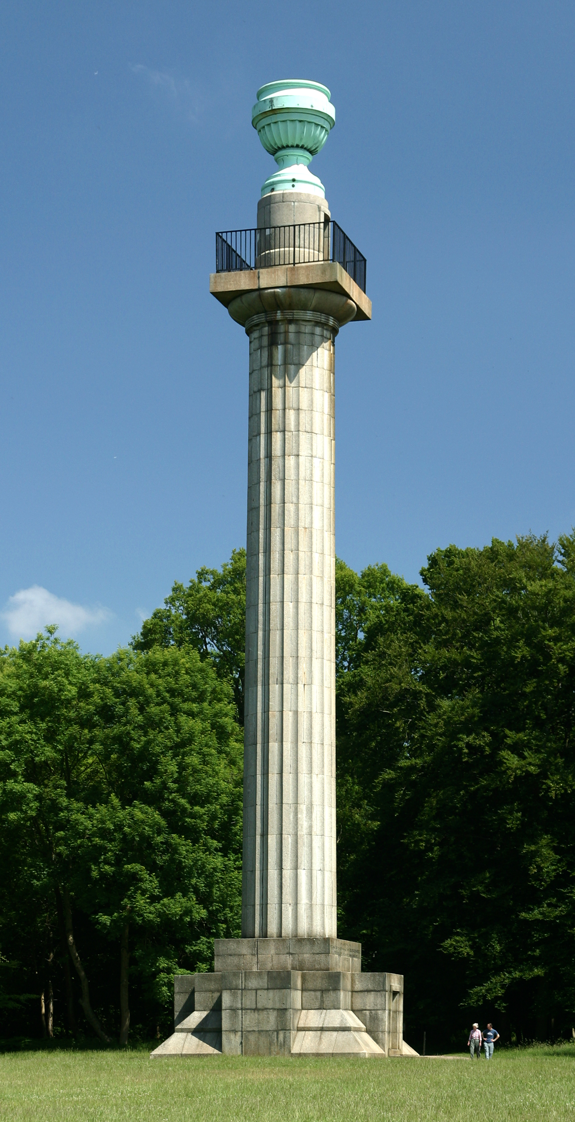
Bridgewater Monument
The Bridgewater Monument is a Grade II* listed monumental column in the Ashridge estate in Hertfordshire, England. It was built in 1832 to commemorate...

Northchurch
Northchurch is a village and civil parish in the Bulbourne valley in the county of Hertfordshire in the United Kingdom. It lies between the towns of Berkhamsted...

Barley End
Barley End is a hamlet within the parish of Pitstone(where the 2011 Census population was included) in Buckinghamshire, England.
Nearby Amenities
Located within 500m of 51.788905,-0.60248683Have you been to High Spring?
Leave your review of High Spring below (or comments, questions and feedback).