Little Osgrove Wood

Wood, Forest in Lincolnshire South Kesteven

England

Little Osgrove Wood

Path in Twyford Wood
Path in Twyford Wood Credit: David Martin

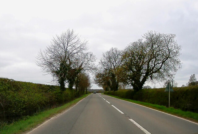
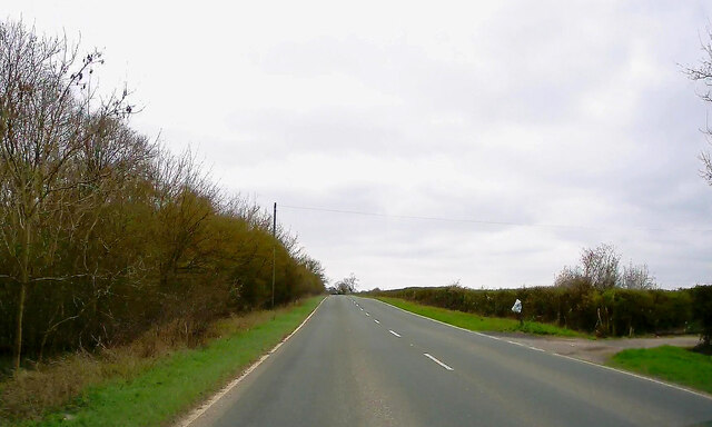
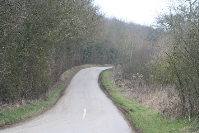
Little Osgrove Wood is a small woodland located in Lincolnshire, England. Situated near the village of Osgrove, it covers an area of approximately 10 acres. The wood is characterized by a mix of deciduous and coniferous trees, creating a diverse and vibrant ecosystem.

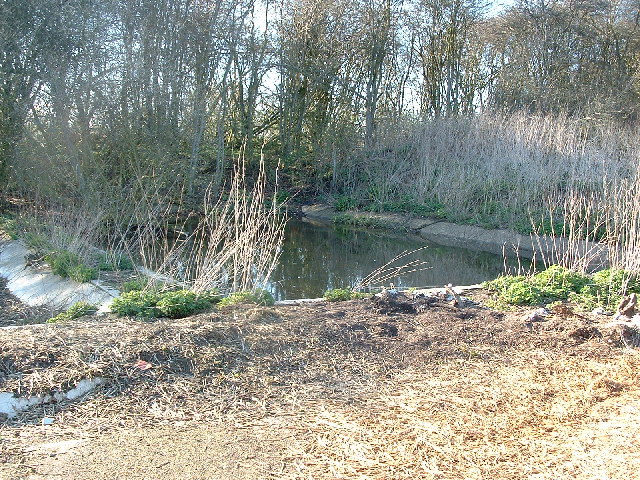
The woodland is home to a variety of plant and animal species. Native trees such as oak, beech, and birch can be found alongside non-native species like Scots pine and Douglas fir. This diverse tree composition provides habitats for numerous birds, mammals, and insects.

Little Osgrove Wood is a popular destination for nature enthusiasts and walkers. It offers a peaceful and tranquil environment, with well-maintained footpaths that meander through the trees. Visitors can enjoy the beauty of the woodland and observe the wildlife that inhabits it.

The wood is managed by a local conservation group, which is responsible for its upkeep and preservation. This includes regular maintenance of the footpaths, removal of invasive species, and monitoring the health of the trees.

Little Osgrove Wood also serves as an important site for environmental education and research. Local schools and universities often visit the wood to learn about woodland ecosystems and conduct studies on biodiversity.

In summary, Little Osgrove Wood is a small but significant woodland in Lincolnshire. With its diverse tree species and abundant wildlife, it offers visitors a chance to experience the beauty of nature and serves as an important site for conservation and research.

If you have any feedback on the listing, please let us know in the comments section below.

Little Osgrove Wood Images

Images are sourced within 2km of 52.803202/-0.57194253 or Grid Reference SK9623. Thanks to Geograph Open Source API. All images are credited.

Path in Twyford Wood
A151 towards Colsterworth
A151, Silver Birches Towards Colsterworth.
A151, Silver Birches
Towards Colsterworth.
A151, Birkholme Towards Colsterworth.
A151, Birkholme
Towards Colsterworth.
A151 near Pasture Lodge Towards the A1.
A151 near Pasture Lodge
Towards the A1.
Colsterworth Lane
Colsterworth Lane
Pylon and farmland
Pylon and farmland
Sewage Works from RAF North Witham
Ancient Woodland and Country Lane
Water treatment works and track off the Lobthorpe-Swayfield road
Field and Dumper This entrance leads to Pasture Lodge.  It has clearly had a recent makeover including some new fencing for the pasture.
Field and Dumper
This entrance leads to Pasture Lodge. It has clearly had a recent makeover including some new fencing for the pasture.
A151 towards Bourne
A151 towards Bourne
Wheat field
Wheat field
Fields Not much growing in this field!
Fields
Not much growing in this field!
A walk through Twyford Wood: No 1 Twyford Wood (or "Forest" as mentioned on the 1940's map) was requisitioned by the RAF in the early 1940s and cleared for the construction of North Witham Airfield, see <span class="nowrap"><a title="http://raf-lincolnshire.info/northwitham/northwitham.htm" rel="nofollow ugc noopener" href="http://raf-lincolnshire.info/northwitham/northwitham.htm">Link</a><img style="margin-left:2px;" alt="External link" title="External link - shift click to open in new window" src="https://s1.geograph.org.uk/img/external.png" width="10" height="10"/></span> . After the site was sold back to the Forestry Commission twenty years later the wood was replanted with conifers and deciduous trees, mainly oak. The concrete runways and perimeter roads still run through the site making it a great place for walking and cycling in all weathers. There is a car park off the Bourne Road, just east of the Colsterworth turn on the A1. Take the main track into the woodland and follow the many routes through the trees and open areas.
To follow the walk pick up the images in order. Go to <a href="https://www.geograph.org.uk/gridref/SK9522">SK9522</a> next.
A walk through Twyford Wood: No 1
Twyford Wood (or "Forest" as mentioned on the 1940's map) was requisitioned by the RAF in the early 1940s and cleared for the construction of North Witham Airfield, see LinkExternal link . After the site was sold back to the Forestry Commission twenty years later the wood was replanted with conifers and deciduous trees, mainly oak. The concrete runways and perimeter roads still run through the site making it a great place for walking and cycling in all weathers. There is a car park off the Bourne Road, just east of the Colsterworth turn on the A1. Take the main track into the woodland and follow the many routes through the trees and open areas. To follow the walk pick up the images in order. Go to SK9522 next.
A walk through Twyford Wood: No 2 This is the main runway of the old North Witham Airfield which is 2000 yards long. The airfield conformed to the normal A-layout able to cope with 50 bomber aircraft dispersals at one time.
See <span class="nowrap"><a title="http://raf-lincolnshire.info/northwitham/northwitham.htm" rel="nofollow ugc noopener" href="http://raf-lincolnshire.info/northwitham/northwitham.htm">Link</a><img style="margin-left:2px;" alt="External link" title="External link - shift click to open in new window" src="https://s1.geograph.org.uk/img/external.png" width="10" height="10"/></span> for detailed information about this site.
To follow the walk pick up the images in order . It starts in <a href="https://www.geograph.org.uk/gridref/SK9423">SK9423</a>, continues in this square and moves into <a href="https://www.geograph.org.uk/gridref/SK9523">SK9523</a> before returning to <a href="https://www.geograph.org.uk/gridref/SK9423">SK9423</a>.
A walk through Twyford Wood: No 2
This is the main runway of the old North Witham Airfield which is 2000 yards long. The airfield conformed to the normal A-layout able to cope with 50 bomber aircraft dispersals at one time. See LinkExternal link for detailed information about this site. To follow the walk pick up the images in order . It starts in SK9423, continues in this square and moves into SK9523 before returning to SK9423.
A walk through Twyford Wood: No 3a Walk to the end of the runway in <a href="https://www.geograph.org.uk/photo/272038">SK9522 : A walk through Twyford Wood: No 2</a>, follow the grassy track to the edge of Twyford Wood and you come to open farmland. The eastern edge of the woodland can be seen here.
To follow the walk pick up the images in order . It starts in <a href="https://www.geograph.org.uk/gridref/SK9423">SK9423</a>, continues in this square and moves into <a href="https://www.geograph.org.uk/gridref/SK9523">SK9523</a> before returning to <a href="https://www.geograph.org.uk/gridref/SK9423">SK9423</a>.
A walk through Twyford Wood: No 3a
Walk to the end of the runway in SK9522 : A walk through Twyford Wood: No 2, follow the grassy track to the edge of Twyford Wood and you come to open farmland. The eastern edge of the woodland can be seen here. To follow the walk pick up the images in order . It starts in SK9423, continues in this square and moves into SK9523 before returning to SK9423.
A walk through Twyford Wood: No 3b Looking in the other direction from the view point in <a href="https://www.geograph.org.uk/photo/272041">SK9522 : A walk through Twyford Wood: No 3a</a>.
To follow the walk pick up the images in order . It starts in <a href="https://www.geograph.org.uk/gridref/SK9423">SK9423</a>, continues in this square and moves into <a href="https://www.geograph.org.uk/gridref/SK9523">SK9523</a> before returning to <a href="https://www.geograph.org.uk/gridref/SK9423">SK9423</a>.
A walk through Twyford Wood: No 3b
Looking in the other direction from the view point in SK9522 : A walk through Twyford Wood: No 3a. To follow the walk pick up the images in order . It starts in SK9423, continues in this square and moves into SK9523 before returning to SK9423.
Show me another place!

Little Osgrove Wood is located at Grid Ref: SK9623 (Lat: 52.803202, Lng: -0.57194253)

Administrative County: Lincolnshire

District: South Kesteven

Police Authority: Lincolnshire

What 3 Words

///cobbled.straws.galloped. Near Colsterworth, Lincolnshire

Nearby Locations

Little Osgrove Wood

Related Wikis

Beltisloe

Beltisloe is a Deanery of the Diocese of Lincoln in England, and a former Wapentake.The Wapentake of Beltisloe was established as an ancient administrative...
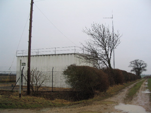
Twyford Wood

Twyford Wood, formerly known as Twyford Forest, is a commercial wood around grid reference SK948230 in Lincolnshire owned by the Forestry Commission, England...
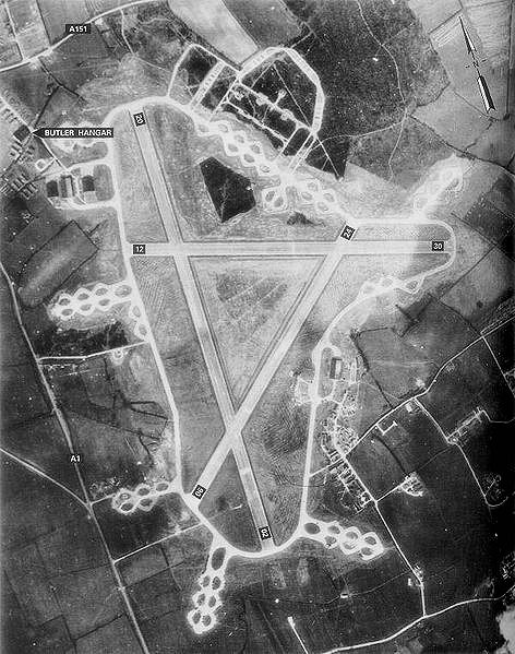
RAF North Witham

Royal Air Force North Witham or more simply RAF North Witham is a former Royal Air Force station located in Twyford Wood, off the A1 between Stamford and...

Corby Glen railway station

Corby Glen railway station was a station on the Great Northern Railway main line serving Corby Glen, Lincolnshire. It was west of the village on the Melton...

Burton Coggles

Burton Coggles (full name Burton-le-Coggles from Byrton-en-les-Coggles) is a small village and civil parish in the South Kesteven district of Lincolnshire...

Swayfield

Swayfield is a village and civil parish in the South Kesteven district of Lincolnshire, England. The population of the civil parish at the 2011 census...
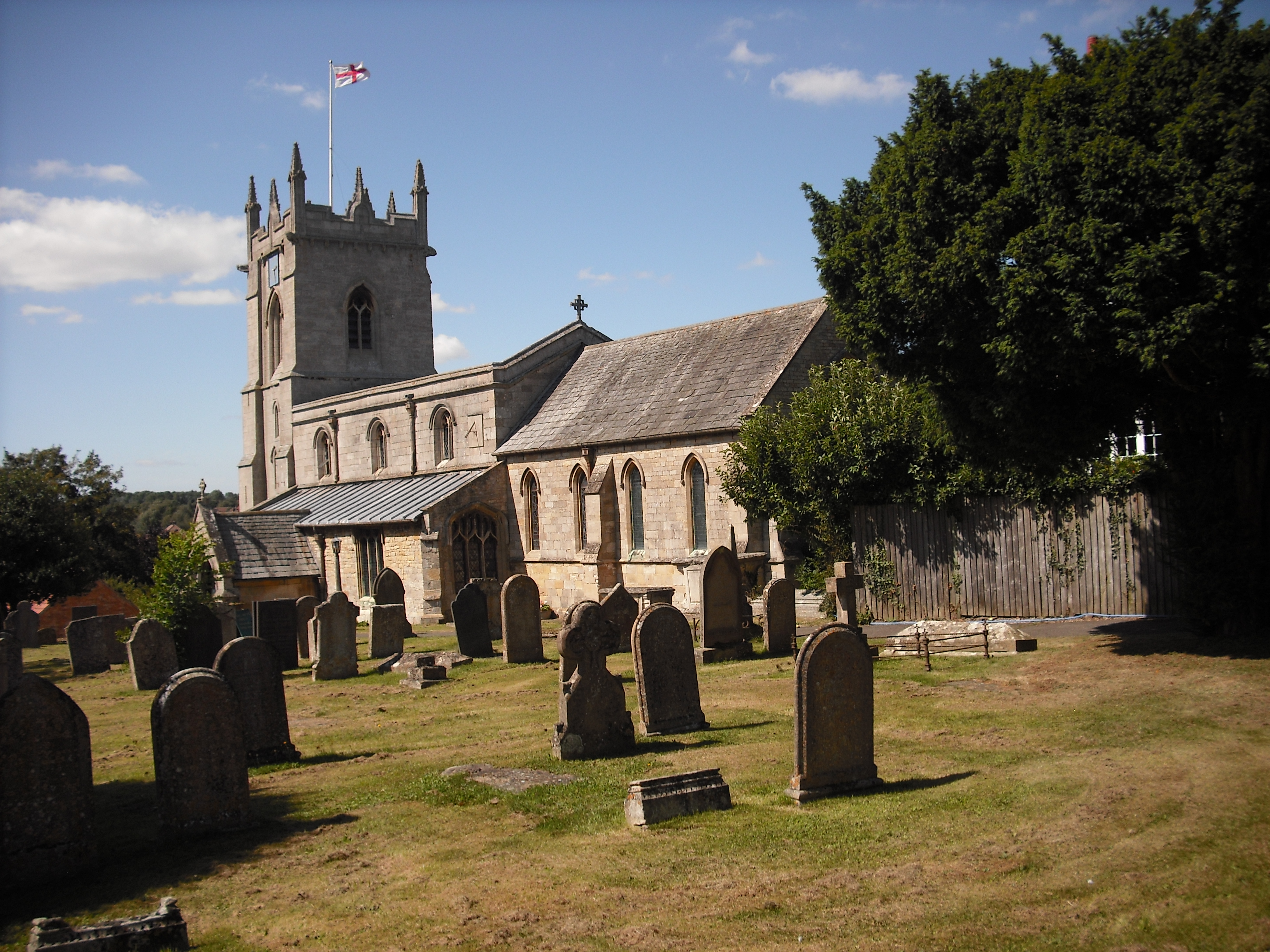
Colsterworth

Colsterworth is a village and civil parish in the South Kesteven district of Lincolnshire, England, less than half a mile (0.8 km) west of the A1, about...

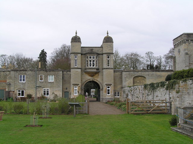
Easton, Lincolnshire

Easton is a village in the South Kesteven district of Lincolnshire, England, almost 2 miles (3.2 km) north of Colsterworth, and 1 mile (1.6 km) east of...

Have you been to Little Osgrove Wood?

Leave your review of Little Osgrove Wood below (or comments, questions and feedback).