Parson's Hanger
Wood, Forest in Surrey Waverley
England
Parson's Hanger
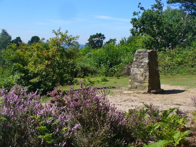
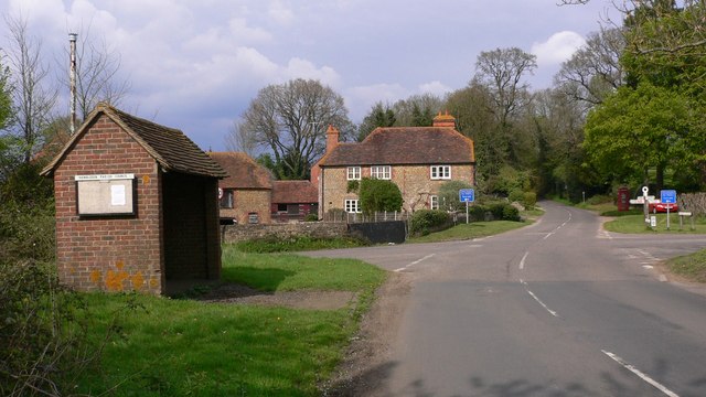
Parson's Hanger is a picturesque woodland located in Surrey, England. Nestled within the Surrey Hills Area of Outstanding Natural Beauty, it offers visitors a serene and tranquil escape from the hustle and bustle of city life.
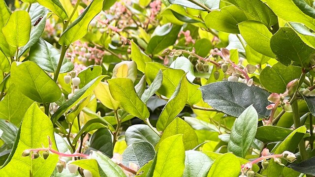
Covering an area of approximately 100 acres, Parson's Hanger is predominantly composed of broadleaf trees, including oak, beech, and birch. The woodland is known for its lush undergrowth of ferns, bluebells, and wild garlic, which create a vibrant and colorful carpet during the spring and summer months. The diverse range of flora and fauna found here makes it a popular spot for nature enthusiasts and photographers alike.
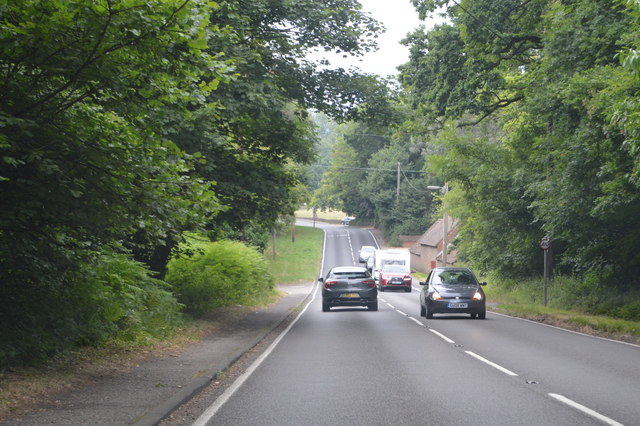
The woodland is crisscrossed with a network of well-maintained footpaths, providing visitors with ample opportunities for leisurely strolls and peaceful hikes. These pathways lead to various viewpoints and picnic spots, offering panoramic vistas of the surrounding countryside. Additionally, the area is home to a number of designated nature trails, providing educational information about the local wildlife and ecosystem.
Parson's Hanger is also a habitat for a variety of wildlife species, including deer, foxes, badgers, and numerous bird species. Birdwatchers can spot woodpeckers, tawny owls, and various small songbirds among the trees. The woodland's tranquil setting provides an ideal environment for these creatures to thrive.
Overall, Parson's Hanger is a hidden gem within Surrey. Its natural beauty, diverse wildlife, and peaceful ambiance make it a perfect destination for those seeking a tranquil retreat in the heart of nature.
If you have any feedback on the listing, please let us know in the comments section below.
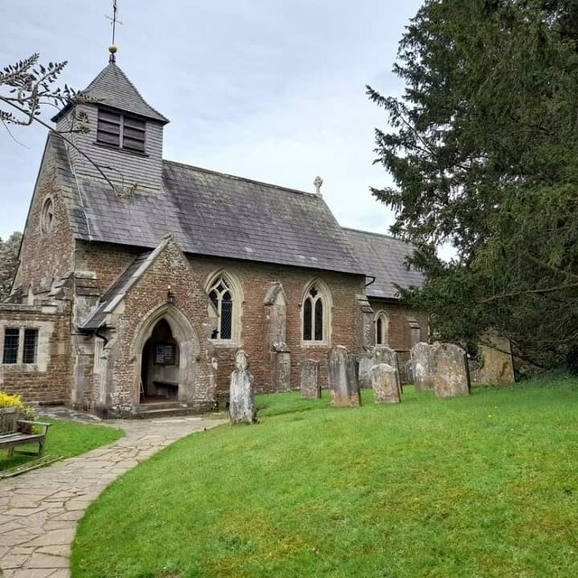
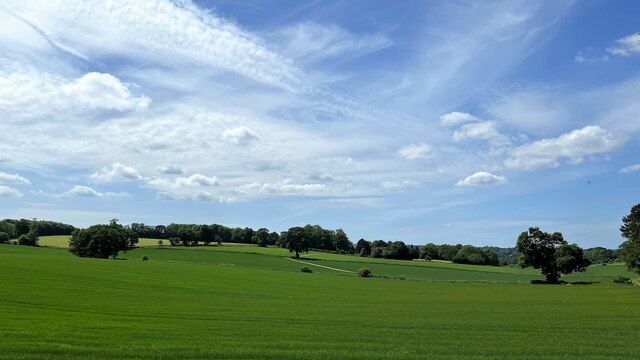
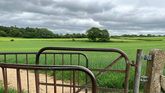
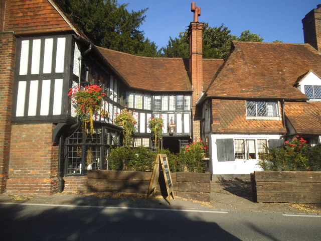
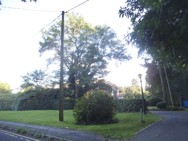
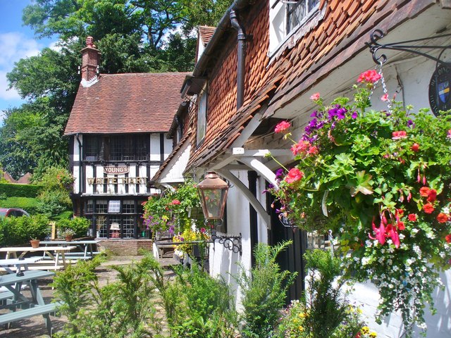
Parson's Hanger Images
Images are sourced within 2km of 51.144719/-0.6244724 or Grid Reference SU9639. Thanks to Geograph Open Source API. All images are credited.


Parson's Hanger is located at Grid Ref: SU9639 (Lat: 51.144719, Lng: -0.6244724)
Administrative County: Surrey
District: Waverley
Police Authority: Surrey
What 3 Words
///basics.stint.aviators. Near Witley, Surrey
Nearby Locations
Related Wikis

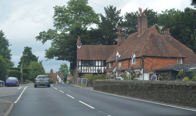
Hambledon, Surrey
Hambledon is a rural scattered village in the Waverley borough of Surrey, situated south of Guildford. It is dominated by a buffer zone of fields and woodland...

St Dominic's School
St. Dominic's School in Hambledon, Surrey, England is a co-educational day school, one of the oldest special schools in the United Kingdom. It specialises...

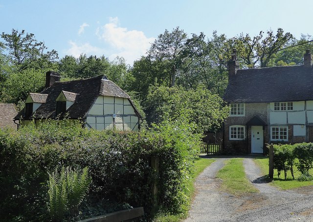
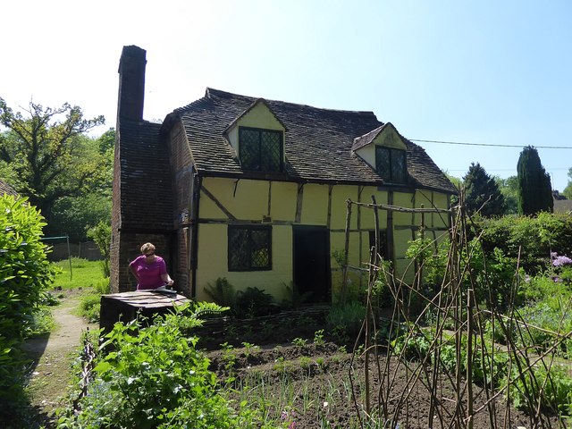
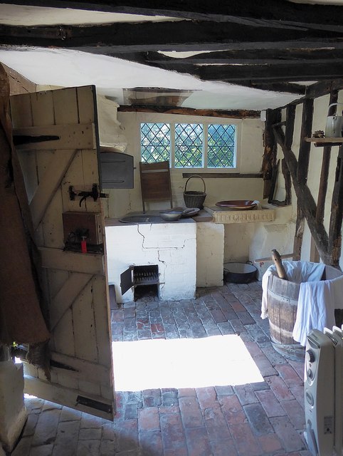
Oakhurst Cottage
Oakhurst Cottage is a tiny 16th or 17th-century cottage in Hambledon, Surrey, in the United Kingdom. It is a Grade II listed building.The cottage was given...
Hydestile
Hydestile is a hamlet in Waverley, south-west Surrey. It is around 2+1⁄2 miles (4.0 km) south of Godalming between the villages of Busbridge and Hambledon...

Hydon's Ball
Hydon's Ball is a 179-metre-high (587 ft) hill covering most of Hydon Heath in Hydestile, Surrey, England. == Description == The hill on Hydon Heath, Hydestile...

Tigbourne Court
Tigbourne Court is an Arts and Crafts style country house in Wormley, Surrey, England, 1 mile (1.6 km) south of Witley. It was designed by architect Edwin...

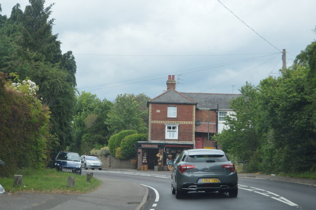
Witley
Witley is a village and civil parish in the Borough of Waverley in Surrey, England centred 2.6 miles (4 km) south west of the town of Godalming and 6.6...

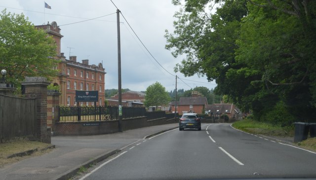
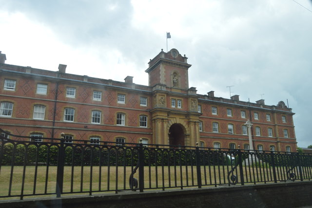
King Edward's School, Witley
King Edward's Witley is a private co-educational boarding and day school, founded in 1553 by King Edward VI and Nicholas Ridley, Bishop of London and Westminster...
Nearby Amenities
Located within 500m of 51.144719,-0.6244724Have you been to Parson's Hanger?
Leave your review of Parson's Hanger below (or comments, questions and feedback).