Ashfold Copse
Wood, Forest in Sussex Chichester
England
Ashfold Copse

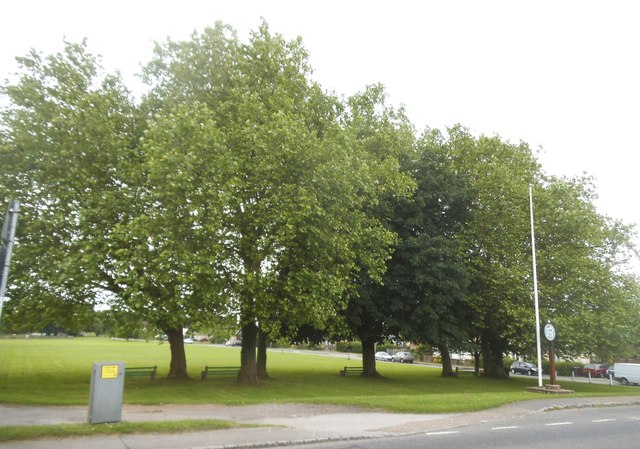
Ashfold Copse is a picturesque woodland located in the county of Sussex, England. Covering an area of approximately 50 acres, it is a thriving example of native British woodland and is home to a diverse range of flora and fauna.
The copse is primarily composed of deciduous trees, including oak, beech, and birch, which create a dense canopy overhead. This provides shelter and shade for the myriad of plant species that thrive beneath, such as bluebells, primroses, and wood anemones. The forest floor is a vibrant carpet of green during the spring and summer months.
The woodland is intersected by a network of well-maintained footpaths, allowing visitors to explore its beauty and tranquility. These paths lead through sun-dappled glades and alongside babbling brooks, adding to the charm of the natural setting.
Ashfold Copse is also a haven for wildlife, with numerous species calling it home. Birdwatchers can spot various woodland birds, including great spotted woodpeckers and tawny owls. Small mammals, such as squirrels and foxes, are frequently seen darting through the undergrowth, while deer can be observed grazing at the forest's edge.
The copse is actively managed by local conservation groups, ensuring the preservation of its unique ecosystem. Regular thinning of the trees promotes healthy growth and allows sunlight to reach the forest floor, supporting the diverse range of plants.
Overall, Ashfold Copse is a cherished natural treasure, offering visitors the opportunity to immerse themselves in the beauty of a traditional English woodland.
If you have any feedback on the listing, please let us know in the comments section below.
Ashfold Copse Images
Images are sourced within 2km of 51.041625/-0.62891106 or Grid Reference SU9627. Thanks to Geograph Open Source API. All images are credited.


Ashfold Copse is located at Grid Ref: SU9627 (Lat: 51.041625, Lng: -0.62891106)
Administrative County: West Sussex
District: Chichester
Police Authority: Sussex
What 3 Words
///poem.toned.downfield. Near Fernhurst, West Sussex
Nearby Locations
Related Wikis

Ebernoe Horn Fair
Ebernoe Horn Fair is held in the small Sussex village of Ebernoe, the location of which is about five miles north of Petworth (grid reference SU975280...

Ebernoe
Ebernoe is a hamlet and civil parish in the District of Chichester in West Sussex, England, and 4 miles (6 km) north of Petworth near the A283 road. The...

Ebernoe Common
Ebernoe Common is a 233.9-hectare (578-acre) biological Site of Special Scientific Interest in Ebernoe, north of Petworth in West Sussex. It is a Nature...

Northchapel
Northchapel is a village and civil parish in Chichester District in West Sussex, England. It stands on the A283 road just south of the Surrey border, around...

Lurgashall
Lurgashall is a village and civil parish in the Chichester district of West Sussex, England, 6.5 km (4 ml) north west of Petworth, just inside the South...

Balls Cross
Balls Cross is a hamlet in Ebernoe civil parish in the Chichester District of West Sussex, England.The hamlet comprises a few houses together with a small...

Shillinglee Lake
Shillinglee Lake is a 17-hectare (42-acre) biological Site of Special Scientific Interest west of Plaistow in West Sussex.The lake has been designated...

Petworth (electoral division)
Petworth is an electoral division of West Sussex in the United Kingdom, and returns one member to sit on West Sussex County Council. == Extent == The division...
Nearby Amenities
Located within 500m of 51.041625,-0.62891106Have you been to Ashfold Copse?
Leave your review of Ashfold Copse below (or comments, questions and feedback).