Spring Pond Rough
Wood, Forest in Sussex Chichester
England
Spring Pond Rough
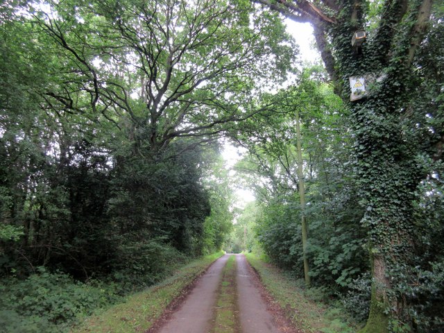
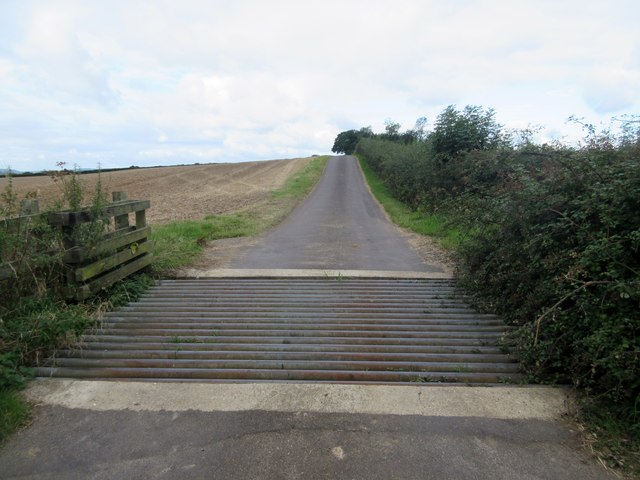
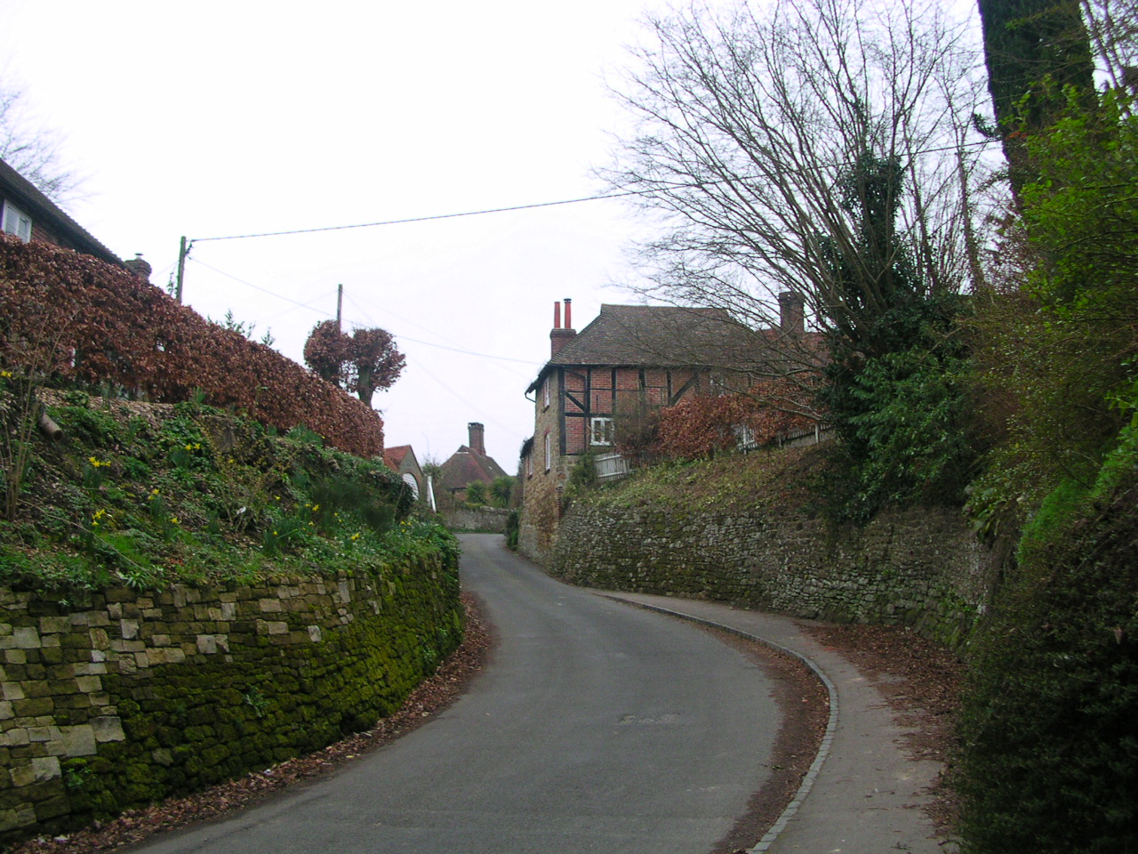
Spring Pond Rough is a scenic woodland located in Sussex, England. Covering an area of approximately 500 acres, it is known for its natural beauty and diverse ecosystem. The woodland is predominantly made up of deciduous trees such as oak, beech, and ash, creating a vibrant and colorful landscape throughout the year.
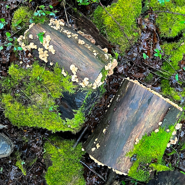
One of the prominent features of Spring Pond Rough is its namesake spring pond, which is a small freshwater body that serves as a habitat for various aquatic plants and animals. The pond, surrounded by lush vegetation, adds to the overall charm and tranquility of the woodland.
The forest is home to a wide range of wildlife, including mammals like deer, foxes, and badgers. Bird enthusiasts can spot numerous species of birds, such as woodpeckers, owls, and various songbirds. Additionally, the woodland provides a habitat for several reptiles, amphibians, and insects.
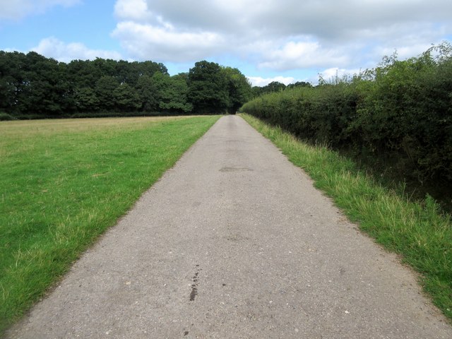
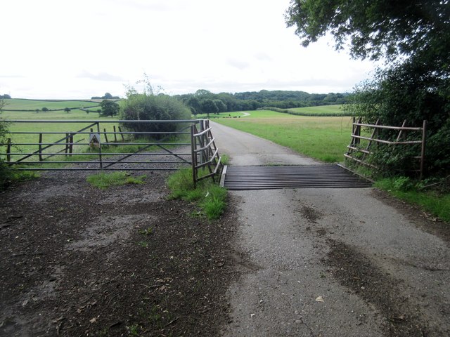
Spring Pond Rough is a popular destination for nature lovers, hikers, and photographers. It offers numerous walking trails and footpaths, allowing visitors to explore the woodland and enjoy its serene atmosphere. The woodland also provides opportunities for picnicking, wildlife observation, and nature photography.
Managed by local authorities, Spring Pond Rough aims to preserve its biodiversity and protect its natural habitats. The woodland serves as an important ecological site, contributing to the overall conservation efforts in the region.
If you have any feedback on the listing, please let us know in the comments section below.
Spring Pond Rough Images
Images are sourced within 2km of 51.017562/-0.63054753 or Grid Reference SU9625. Thanks to Geograph Open Source API. All images are credited.


Spring Pond Rough is located at Grid Ref: SU9625 (Lat: 51.017562, Lng: -0.63054753)
Administrative County: West Sussex
District: Chichester
Police Authority: Sussex
What 3 Words
///salutes.fake.explained. Near Petworth, West Sussex
Nearby Locations
Related Wikis

Ebernoe Common
Ebernoe Common is a 233.9-hectare (578-acre) biological Site of Special Scientific Interest in Ebernoe, north of Petworth in West Sussex. It is a Nature...

Pitshill
Pitshill is a Grade II* listed house built in the neoclassical style and is located within the Parish of Tillington a couple of miles west of Petworth...
Upperton, West Sussex
Upperton is a hamlet in the Chichester district of West Sussex, England. Part of Tillington civil parish it lies on the Tillington to Lurgashall road 1...

Balls Cross
Balls Cross is a hamlet in Ebernoe civil parish in the Chichester District of West Sussex, England.The hamlet comprises a few houses together with a small...

Ebernoe
Ebernoe is a hamlet and civil parish in the District of Chichester in West Sussex, England, and 4 miles (6 km) north of Petworth near the A283 road. The...

Tillington, West Sussex
Tillington is a village, ecclesiastical parish and civil parish in the District of Chichester in West Sussex, England, 1 mile (1.6 km) west of Petworth...

Ebernoe Horn Fair
Ebernoe Horn Fair is held in the small Sussex village of Ebernoe, the location of which is about five miles north of Petworth (grid reference SU975280...

Petworth (electoral division)
Petworth is an electoral division of West Sussex in the United Kingdom, and returns one member to sit on West Sussex County Council. == Extent == The division...
Nearby Amenities
Located within 500m of 51.017562,-0.63054753Have you been to Spring Pond Rough?
Leave your review of Spring Pond Rough below (or comments, questions and feedback).