Round Plantation

Wood, Forest in Lincolnshire West Lindsey

England

Round Plantation

New houses in Fillingham
New houses in Fillingham Credit: David Brown

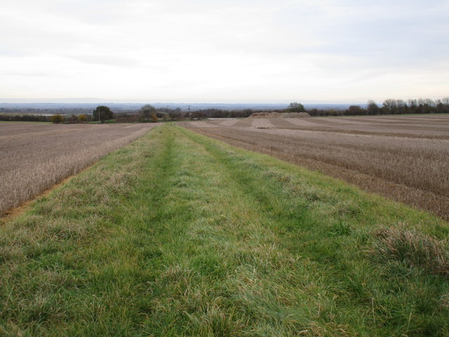
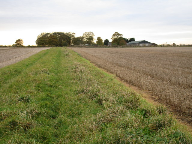
Round Plantation is a picturesque natural area located in Lincolnshire, England. The plantation is known for its dense woodlands and enchanting forested landscape. It covers an area of approximately 100 hectares and is situated near the village of Wood.

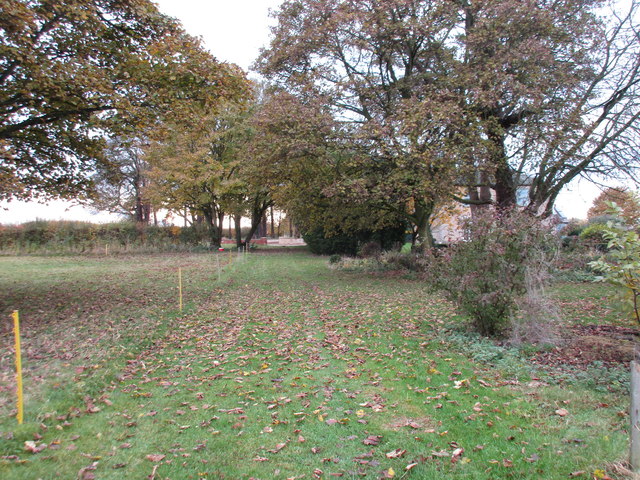
The plantation is characterized by its well-preserved ancient trees, which include a variety of species such as oak, ash, birch, and beech. These trees provide a rich habitat for numerous wildlife species, including various birds, mammals, and insects. The diverse ecosystem of the plantation supports a range of flora and fauna, making it a popular spot for nature enthusiasts and wildlife photographers.

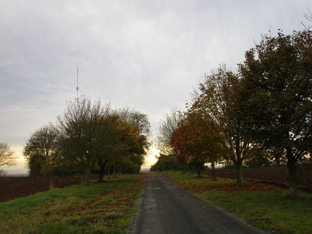
The woodland paths within Round Plantation are well-maintained, allowing visitors to explore and appreciate the natural beauty of the area. The peaceful ambiance and serene atmosphere make it an ideal location for leisurely walks, picnics, and family outings.

Historically, Round Plantation has been a significant part of the local landscape for centuries. It is believed to have been used as a hunting ground during medieval times, with records dating back to the 12th century. The plantation has also played a role in local folklore, with tales of mythical creatures and hidden treasures adding to its mystique.

Overall, Round Plantation in Lincolnshire offers a tranquil escape into nature, providing an opportunity to reconnect with the natural world and appreciate the beauty of the woodlands. Its rich history, diverse wildlife, and stunning scenery make it a must-visit destination for nature lovers and those seeking a peaceful retreat.

If you have any feedback on the listing, please let us know in the comments section below.

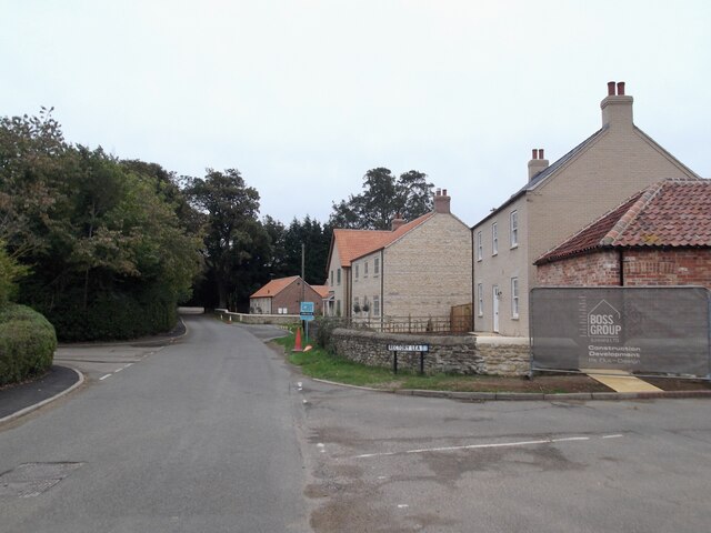
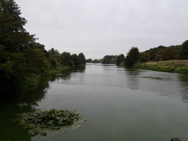
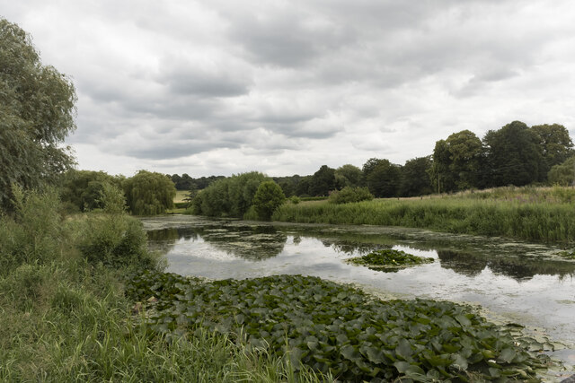
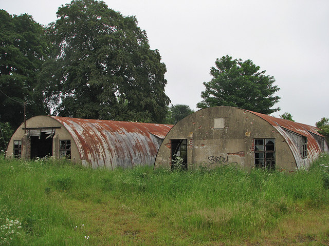
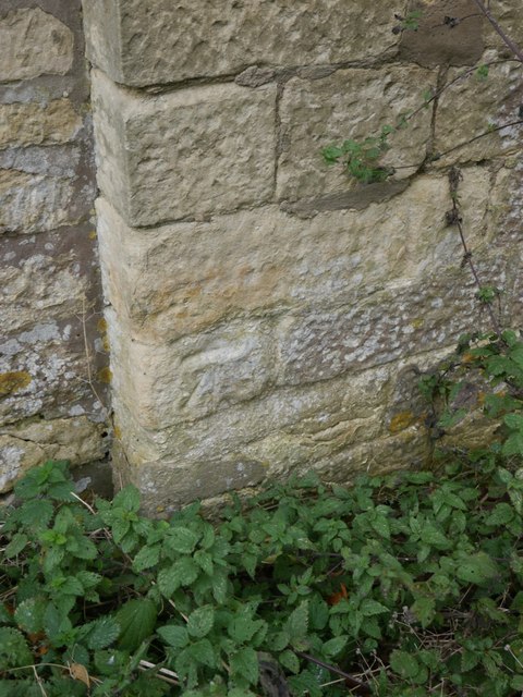
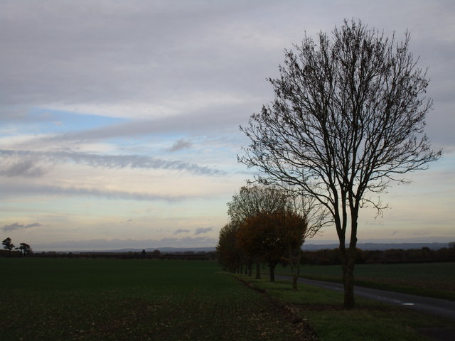
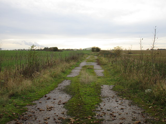
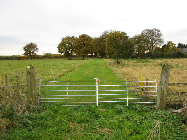
Round Plantation Images

Images are sourced within 2km of 53.357299/-0.55779993 or Grid Reference SK9685. Thanks to Geograph Open Source API. All images are credited.

New houses in Fillingham
The Lake at Fillingham
The Lake, Fillingham A surprisingly large lake of about 28 acres. This is the narrower east end.
It is one of the sources of the  River Till.
The Lake, Fillingham
A surprisingly large lake of about 28 acres. This is the narrower east end. It is one of the sources of the River Till.
Nissen huts near Fillingham Relics of RAF Ingham, a grass airfield where two Polish bomber squadrons were based during the Second World War. For some history, try <span class="nowrap"><a title="http://www.rafingham.co.uk/" rel="nofollow ugc noopener" href="http://www.rafingham.co.uk/">Link</a><img style="margin-left:2px;" alt="External link" title="External link - shift click to open in new window" src="https://s1.geograph.org.uk/img/external.png" width="10" height="10"/></span> .
Nissen huts near Fillingham
Relics of RAF Ingham, a grass airfield where two Polish bomber squadrons were based during the Second World War. For some history, try LinkExternal link .
Roadsigns at Fillingham Castle, Old Gatehouse Behind the road sign on the gatehouse wall is a cut bench mark.  See <a title="https://www.geograph.org.uk/photo/5163276" href="https://www.geograph.org.uk/photo/5163276">Link</a> for a closer view and <span class="nowrap"><a title="http://www.bench-marks.org.uk/bm70409" rel="nofollow ugc noopener" href="http://www.bench-marks.org.uk/bm70409">Link</a><img style="margin-left:2px;" alt="External link" title="External link - shift click to open in new window" src="https://s1.geograph.org.uk/img/external.png" width="10" height="10"/></span> for details of the mark.
Roadsigns at Fillingham Castle, Old Gatehouse
Behind the road sign on the gatehouse wall is a cut bench mark. See Link for a closer view and LinkExternal link for details of the mark.
Cut Mark: Fillingham Castle, Old Gatehouse Behind the road sign on the gatehouse wall is a cut bench mark.  See <a title="https://www.geograph.org.uk/photo/5163274" href="https://www.geograph.org.uk/photo/5163274">Link</a> for a wider view and <span class="nowrap"><a title="http://www.bench-marks.org.uk/bm70409" rel="nofollow ugc noopener" href="http://www.bench-marks.org.uk/bm70409">Link</a><img style="margin-left:2px;" alt="External link" title="External link - shift click to open in new window" src="https://s1.geograph.org.uk/img/external.png" width="10" height="10"/></span> for details of the mark.
Cut Mark: Fillingham Castle, Old Gatehouse
Behind the road sign on the gatehouse wall is a cut bench mark. See Link for a wider view and LinkExternal link for details of the mark.
Winter afternoon by Ermine Street Looking across the Ancholme Valley towards the Lincolnshire Wolds.
Winter afternoon by Ermine Street
Looking across the Ancholme Valley towards the Lincolnshire Wolds.
Footpath to Ingham The first part of this path uses some of the infrastructure of the former RAF Ingham <span class="nowrap"><a title="https://en.wikipedia.org/wiki/RAF_Cammeringham" rel="nofollow ugc noopener" href="https://en.wikipedia.org/wiki/RAF_Cammeringham">Link</a><img style="margin-left:2px;" alt="External link" title="External link - shift click to open in new window" src="https://s1.geograph.org.uk/img/external.png" width="10" height="10"/></span>
Footpath to Ingham
The first part of this path uses some of the infrastructure of the former RAF Ingham LinkExternal link
Gate across the path near Cliff House The gate is tied and not easily opened. However it is very low and is easily stepped over.
Gate across the path near Cliff House
The gate is tied and not easily opened. However it is very low and is easily stepped over.
Footpath to Ermine Street Strictly this isn't the footpath to Ermine Street but no other route is indicated and this is clearly used as such.
Footpath to Ermine Street
Strictly this isn't the footpath to Ermine Street but no other route is indicated and this is clearly used as such.
Footpath to Middle Street Looking towards Cliff House.
Middle Street is the B1398 between the High Street (i.e. Ermine Street A15) and Low Street which now is an intermittent collection of roads and footpaths along the foot of the Cliff to the west of Middle Street.
Footpath to Middle Street
Looking towards Cliff House. Middle Street is the B1398 between the High Street (i.e. Ermine Street A15) and Low Street which now is an intermittent collection of roads and footpaths along the foot of the Cliff to the west of Middle Street.
Footpath at Cliff House
Approaching the end of the avenue from Cliff House The path meets Middle Street and immediately the land drops down steeply towards the River Trent.
Approaching the end of the avenue from Cliff House
The path meets Middle Street and immediately the land drops down steeply towards the River Trent.
A15 The A15 is the main north-south road in Lincolnshire, running the entire length of the county for almost 100 miles between Hessle, near Kingston upon Hull, and Peterborough via Lincoln, Sleaford and Bourne. It is also the road that crosses the Humber Bridge.
A15
The A15 is the main north-south road in Lincolnshire, running the entire length of the county for almost 100 miles between Hessle, near Kingston upon Hull, and Peterborough via Lincoln, Sleaford and Bourne. It is also the road that crosses the Humber Bridge.
A15 The gateway is Grade II* Listed. It was built in 1775 of limestone ashlar and was possibly designed by John Carr. The last people to live here were a couple by the name of Grant in the late fifties, the living room and kitchen were on one side of the gate and the bedroom on the other. It had no electric or running water but had a well and pump in the garden.
A15
The gateway is Grade II* Listed. It was built in 1775 of limestone ashlar and was possibly designed by John Carr. The last people to live here were a couple by the name of Grant in the late fifties, the living room and kitchen were on one side of the gate and the bedroom on the other. It had no electric or running water but had a well and pump in the garden.
Ordnance Survey Cut Mark This OS cut mark can be found on the south face of St Andrew's Church. It marks a point 33.150m above mean sea level.
Ordnance Survey Cut Mark
This OS cut mark can be found on the south face of St Andrew's Church. It marks a point 33.150m above mean sea level.
Fillingham and the Cliff: aerial 2017 A good shot of the "Cliff", which runs N and S through and from <a href="https://www.geograph.org.uk/gridref/SK9586">SK9586</a>. The B1398 "Middle Street" runs along the crest. It runs from south of Lincoln up towards Scunthorpe, through a series of villages with "Cliff" in their name eg. Hemswell Cliff.

See also <a href="https://www.geograph.org.uk/photo/5543409">SK9586 : Cliff from Fillingham through Hemswell Cliff: aerial 2017</a> and <a href="https://www.geograph.org.uk/photo/5543400">SK9488 : Across the Cliff, Glentworth and Hemswell Cliff to Humber Bank: aerial 2017</a>.
Fillingham and the Cliff: aerial 2017
A good shot of the "Cliff", which runs N and S through and from SK9586. The B1398 "Middle Street" runs along the crest. It runs from south of Lincoln up towards Scunthorpe, through a series of villages with "Cliff" in their name eg. Hemswell Cliff. See also SK9586 : Cliff from Fillingham through Hemswell Cliff: aerial 2017 and SK9488 : Across the Cliff, Glentworth and Hemswell Cliff to Humber Bank: aerial 2017.
Cliff from Fillingham through Hemswell Cliff: aerial 2017 The Cliff runs S/N through Lincoln towards Scunthorpe, with Middle Street running along the crest. See also <a href="https://www.geograph.org.uk/photo/5543400">SK9488 : Across the Cliff, Glentworth and Hemswell Cliff to Humber Bank: aerial 2017</a> and <a href="https://www.geograph.org.uk/photo/5543391">SK9485 : Fillingham and the Cliff: aerial 2017</a>.

Fillingham Castle bottom right.
Cliff from Fillingham through Hemswell Cliff: aerial 2017
The Cliff runs S/N through Lincoln towards Scunthorpe, with Middle Street running along the crest. See also SK9488 : Across the Cliff, Glentworth and Hemswell Cliff to Humber Bank: aerial 2017 and SK9485 : Fillingham and the Cliff: aerial 2017. Fillingham Castle bottom right.
Show me another place!

Round Plantation is located at Grid Ref: SK9685 (Lat: 53.357299, Lng: -0.55779993)

Administrative County: Lincolnshire

District: West Lindsey

Police Authority: Lincolnshire

What 3 Words

///chosen.finger.shining. Near Willingham, Lincolnshire

Related Wikis

Fillingham

Fillingham is a village and civil parish in the West Lindsey district of Lincolnshire, England. It is situated 9 miles (14.5 km) north from the city and...

RAF Cammeringham

Royal Air Force Cammeringham or more simply RAF Cammeringham (formerly RAF Ingham) was a Royal Air Force station used by RAF Bomber Command between 1940...

Ingham, Lincolnshire

Ingham is a civil parish in the West Lindsey district of Lincolnshire, England. It lies 7 miles (11 km) geographically north of the centre of Lincoln and...

West Lindsey

West Lindsey is a local government district in Lincolnshire, England. Its council is based in Gainsborough, the district's largest town. The district also...

Glentworth, Lincolnshire

Glentworth is a village and civil parish in the West Lindsey district of Lincolnshire, England. The population of the parish (including Caenby Corner)...

Cammeringham

Cammeringham is a village and civil parish in the West Lindsey district of Lincolnshire, England. It is situated 6 miles (10 km) north of Lincoln, and...

Cammeringham Priory

Cammeringham Priory was a priory in Cammeringham, Lincolnshire, England, and was one of nine Premonstratensian houses in the historical county. It was...

Gainsborough (UK Parliament constituency)

Gainsborough is a constituency in Lincolnshire represented in the House of Commons of the UK Parliament since 1983 by Sir Edward Leigh, a Conservative...

Have you been to Round Plantation?

Leave your review of Round Plantation below (or comments, questions and feedback).