Crawley Belt
Wood, Forest in Bedfordshire
England
Crawley Belt

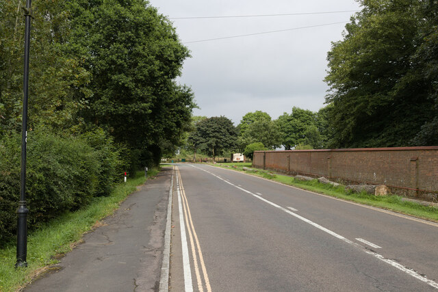
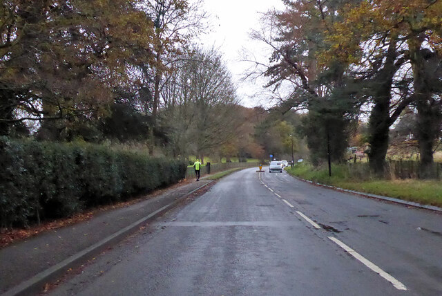
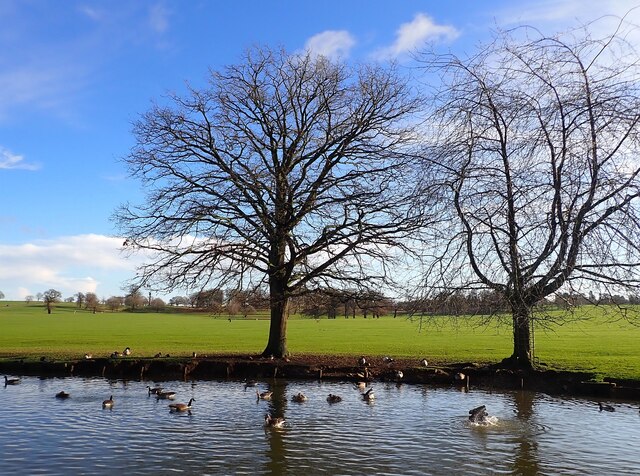
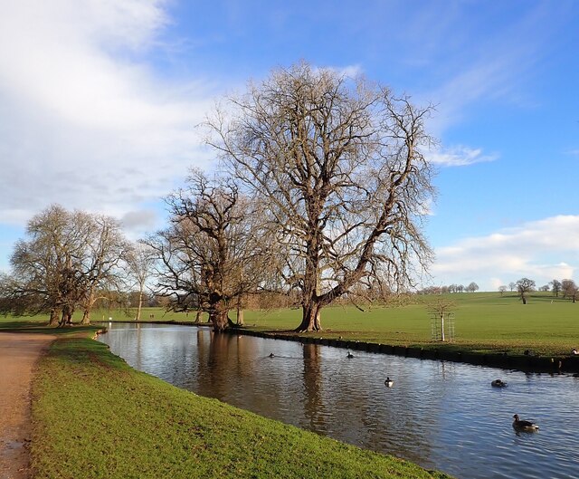
Crawley Belt, located in Bedfordshire, England, is a picturesque woodland area known for its natural beauty and rich biodiversity. Covering a vast expanse of approximately 500 hectares, the forest is situated near the village of Crawley and offers a tranquil retreat for nature enthusiasts and outdoor adventurers.
The woodland is predominantly composed of broadleaf trees, including oak, beech, birch, and ash, creating a diverse and vibrant habitat for numerous plant and animal species. The forest floor is carpeted with a variety of wildflowers, adding a splash of color to the landscape during the spring and summer months.
Crawley Belt is crisscrossed by a network of well-maintained trails, allowing visitors to explore the area on foot or by bike. These paths offer stunning views of the surrounding countryside, with glimpses of rolling hills and meandering streams.
The forest is also home to a diverse range of wildlife, including deer, foxes, badgers, and a wide array of bird species. Ornithologists can spot green woodpeckers, goldcrests, and tawny owls among the trees, while nature enthusiasts may come across rare butterflies and dragonflies near the forest's ponds and streams.
For those seeking a peaceful escape from the hustle and bustle of daily life, Crawley Belt offers a serene and idyllic setting. Whether it be for a leisurely stroll, a family picnic, or a more adventurous hike, this woodland in Bedfordshire provides a haven for individuals to connect with nature and appreciate the beauty of the natural world.
If you have any feedback on the listing, please let us know in the comments section below.
Crawley Belt Images
Images are sourced within 2km of 52.006365/-0.60335803 or Grid Reference SP9535. Thanks to Geograph Open Source API. All images are credited.


Crawley Belt is located at Grid Ref: SP9535 (Lat: 52.006365, Lng: -0.60335803)
Unitary Authority: Central Bedfordshire
Police Authority: Bedfordshire
What 3 Words
///handy.sprouted.binder. Near Husborne Crawley, Bedfordshire
Nearby Locations
Related Wikis
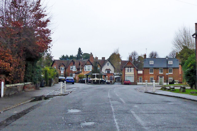
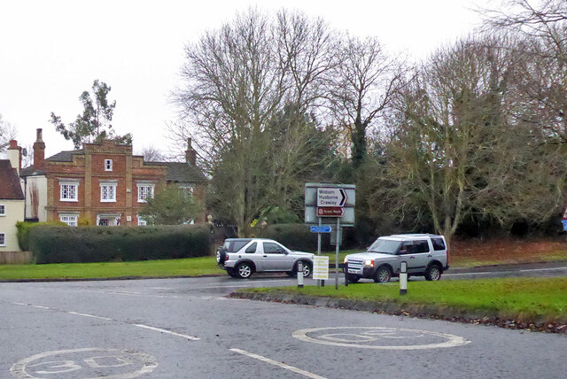
Husborne Crawley
Husborne Crawley is a small village and civil parish in Bedfordshire, England, located close to Junction 13 of the M1 motorway. The village touches the...
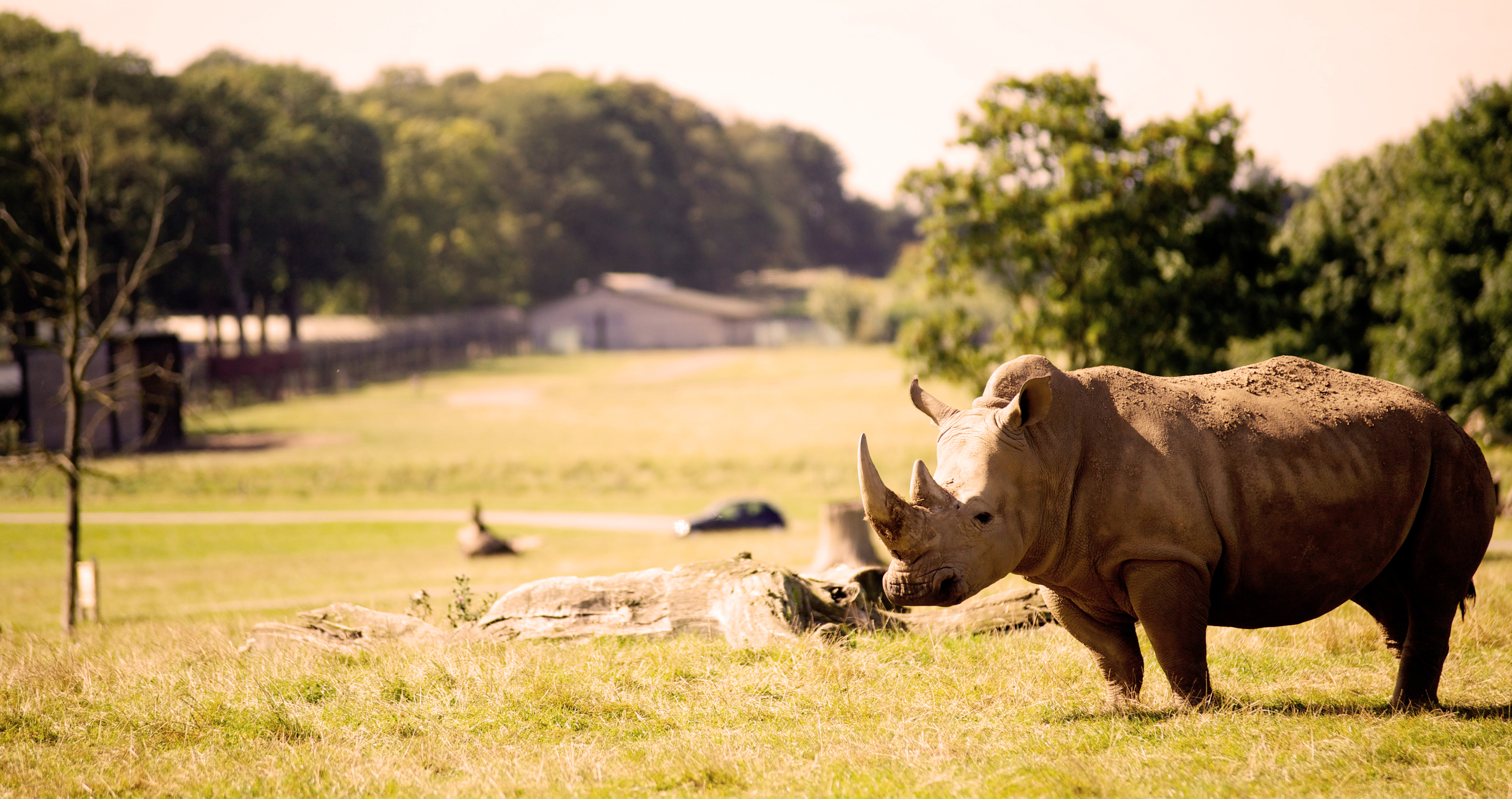
Woburn Safari Park
Woburn Safari Park is a safari park located in Woburn, Bedfordshire, England. Visitors to the park can drive through exhibits, which contain species such...

Aspley Guise
Aspley Guise is a village and civil parish in the west of Central Bedfordshire, England. In addition to the village of Aspley Guise itself, the civil parish...

Aspley House
Aspley House is a Grade II* listed 17th-century country house near Aspley Guise in Bedfordshire, England. == References ==
Husborne Crawley railway station
Husborne Crawley railway station served the village of Husborne Crawley, Bedfordshire, England from 1905 to 1941 on the Varsity line. == History == The...

Marston Vale line
The Marston Vale line is the line between Bletchley and Bedford in England, a surviving remnant of the former Varsity line between Oxford and Cambridge...

Ridgmont
Ridgmont is a small village and civil parish in Bedfordshire, England. It is located beside junction 13 of the M1 motorway, and close to Milton Keynes...
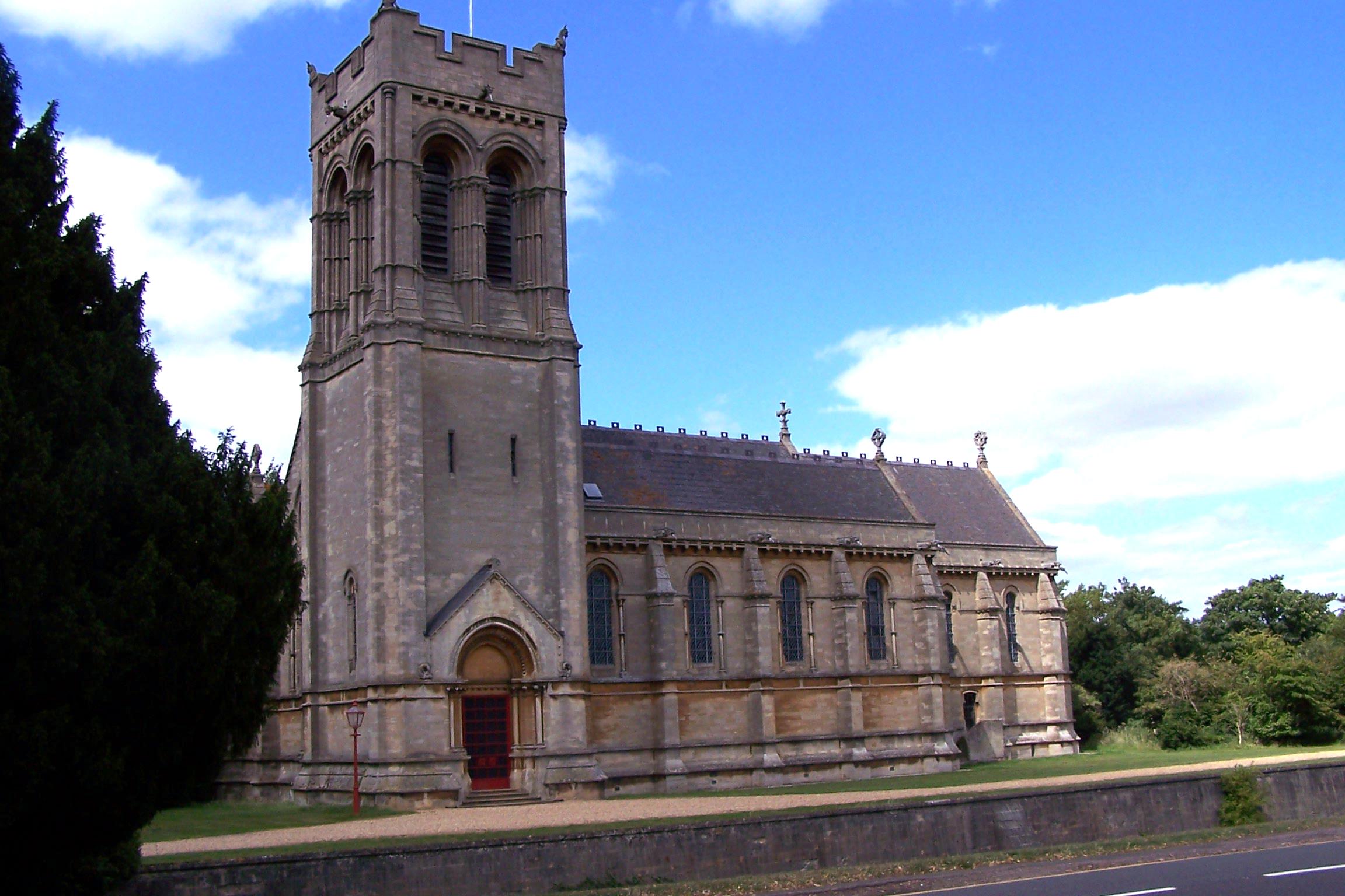
St Mary's Church, Woburn
St Mary's Church, Woburn, is a Grade II* listed parish church in the Church of England: 164 in Woburn, Bedfordshire. == History == The church, on Park...
Nearby Amenities
Located within 500m of 52.006365,-0.60335803Have you been to Crawley Belt?
Leave your review of Crawley Belt below (or comments, questions and feedback).