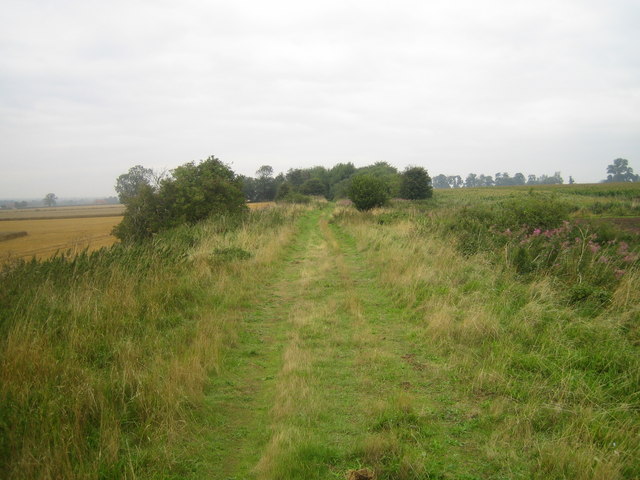
Coleby Covert
Wood, Forest in Lincolnshire North Kesteven
England
Coleby Covert
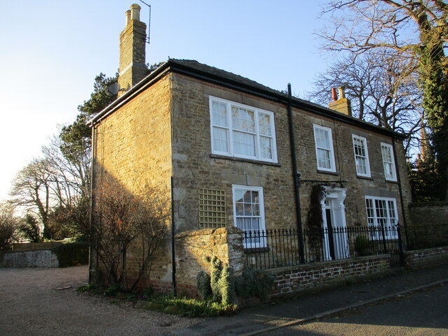
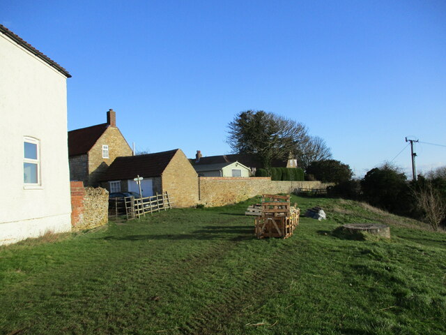
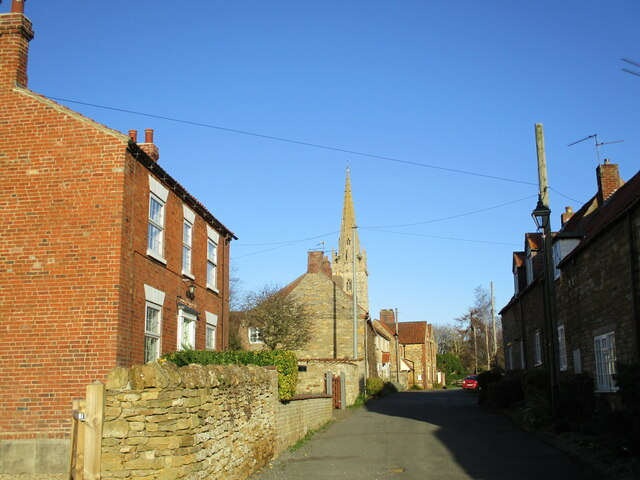
Coleby Covert is a small village located in the county of Lincolnshire, England. Nestled within the picturesque countryside, it is part of the district of North Kesteven. The village is situated approximately 7 miles south of the city of Lincoln and is surrounded by beautiful woodlands and forests.
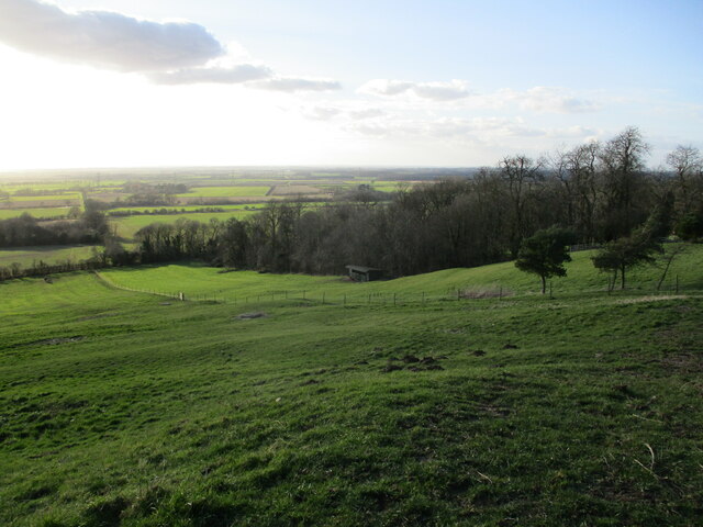
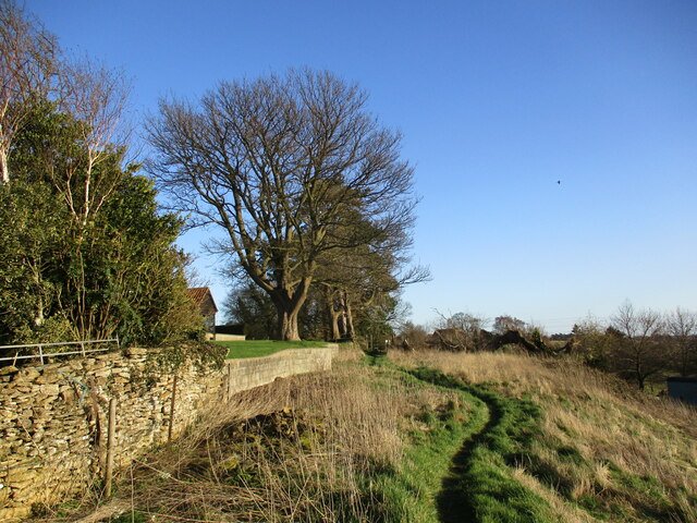
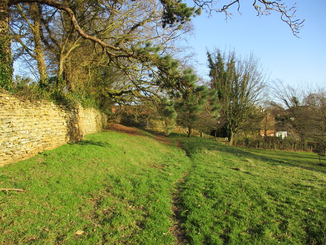
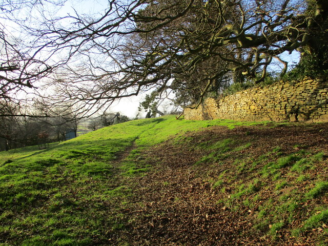
The name Coleby Covert suggests its association with woodlands, and indeed, the village is known for its abundant trees and lush greenery. The nearby woodlands provide a serene and peaceful environment, making it an ideal location for nature enthusiasts and those seeking tranquility away from the hustle and bustle of city life.
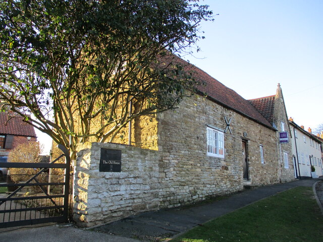
Despite its small size, there are several amenities available in Coleby Covert. The village has a local pub, which serves as a social hub for residents and visitors alike. Additionally, there are a few small businesses and shops that cater to the needs of the community.
The village is also known for its close-knit community spirit. Residents often organize various events and activities throughout the year, fostering a sense of belonging and unity. The picturesque surroundings offer opportunities for outdoor activities such as walking, hiking, and cycling, making it an attractive destination for nature lovers.
Overall, Coleby Covert is a charming village in Lincolnshire, offering a peaceful and idyllic setting amidst woodlands and forests. With its strong community spirit and natural beauty, it is a hidden gem in the heart of the English countryside.
If you have any feedback on the listing, please let us know in the comments section below.
Coleby Covert Images
Images are sourced within 2km of 53.131687/-0.56747293 or Grid Reference SK9560. Thanks to Geograph Open Source API. All images are credited.


Coleby Covert is located at Grid Ref: SK9560 (Lat: 53.131687, Lng: -0.56747293)
Administrative County: Lincolnshire
District: North Kesteven
Police Authority: Lincolnshire
What 3 Words
///only.knitted.encodes. Near Navenby, Lincolnshire
Nearby Locations
Related Wikis

Somerton Castle
Somerton Castle is located approximately 1 mile (1.6 km) west of the village of Boothby Graffoe in Lincolnshire, England and to the south of the city of...
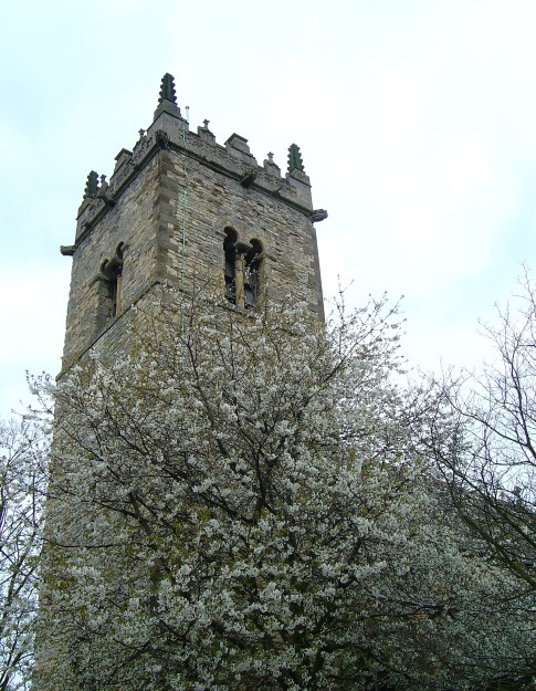
Harmston railway station
Harmston railway station was a station in Harmston, Lincolnshire on the Grantham and Lincoln railway line. It closed in 1962 but the line remained open...

Coleby, North Kesteven
Coleby is a village and civil parish in the North Kesteven district of Lincolnshire, England. It is situated on the A607, and approximately 6 miles (10...

North Kesteven Rural District
North Kesteven was a rural district in Kesteven, Lincolnshire from 1931 to 1974. It was created in 1931 under a County Review Order, and was formed from...
Harmston
Harmston is a village and civil parish in the North Kesteven district of Lincolnshire, England. It is situated just west off the A607, and 5 miles (8 km...

Boothby Graffoe
Boothby Graffoe is a village and civil parish in the North Kesteven district of Lincolnshire, England. The population of the civil parish at the 2011 census...
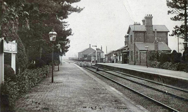
Navenby railway station
Navenby railway station was a railway station in Navenby, Lincolnshire on the Grantham and Lincoln railway line. The station closed for passengers in...
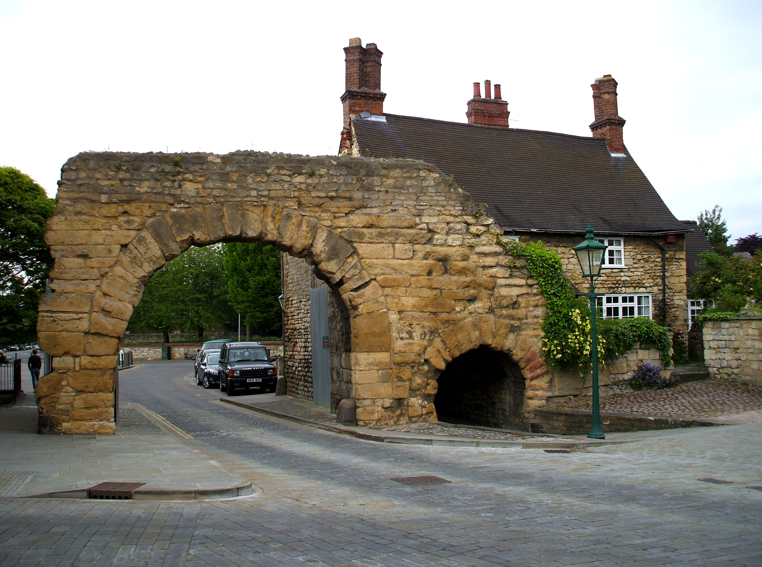
Ermine Street
Ermine Street is a major Roman road in England that ran from London (Londinium) to Lincoln (Lindum Colonia) and York (Eboracum). The Old English name...
Nearby Amenities
Located within 500m of 53.131687,-0.56747293Have you been to Coleby Covert?
Leave your review of Coleby Covert below (or comments, questions and feedback).