Fulbeck Hilltop Plantation
Wood, Forest in Lincolnshire South Kesteven
England
Fulbeck Hilltop Plantation

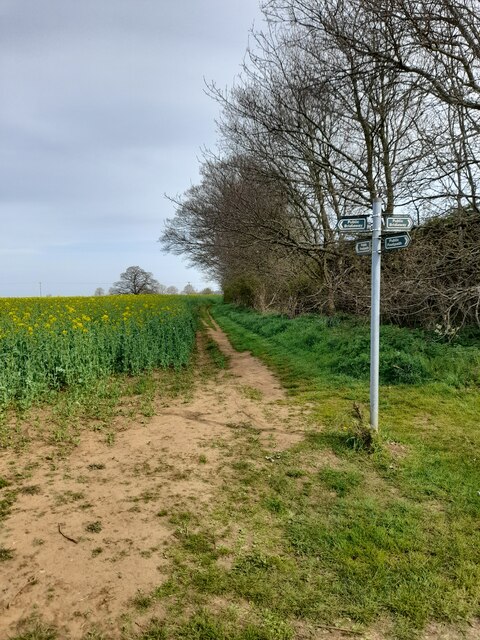
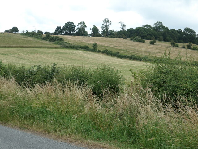
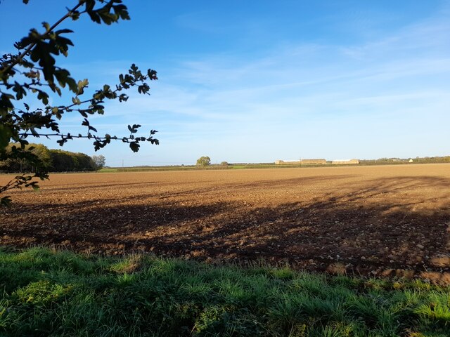
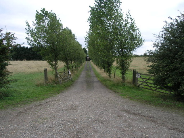
Fulbeck Hilltop Plantation is a picturesque woodland area located in the county of Lincolnshire, England. Situated on a hilltop, this plantation covers an extensive area and is known for its diverse range of trees and natural beauty. The woodland is predominantly made up of various species of deciduous trees, including oak, beech, and ash, creating a vibrant and ever-changing landscape throughout the seasons.
The plantation is a popular spot for nature enthusiasts, walkers, and photographers, as it offers stunning panoramic views of the surrounding countryside. Visitors can enjoy peaceful walks along the well-maintained trails, immersing themselves in the tranquil atmosphere and admiring the abundance of flora and fauna that call this area home.
Fulbeck Hilltop Plantation is also home to a rich variety of wildlife, including deer, foxes, and numerous bird species. Birdwatchers can spot different types of woodland birds, such as woodpeckers, owls, and thrushes, making it a haven for birdwatching enthusiasts.
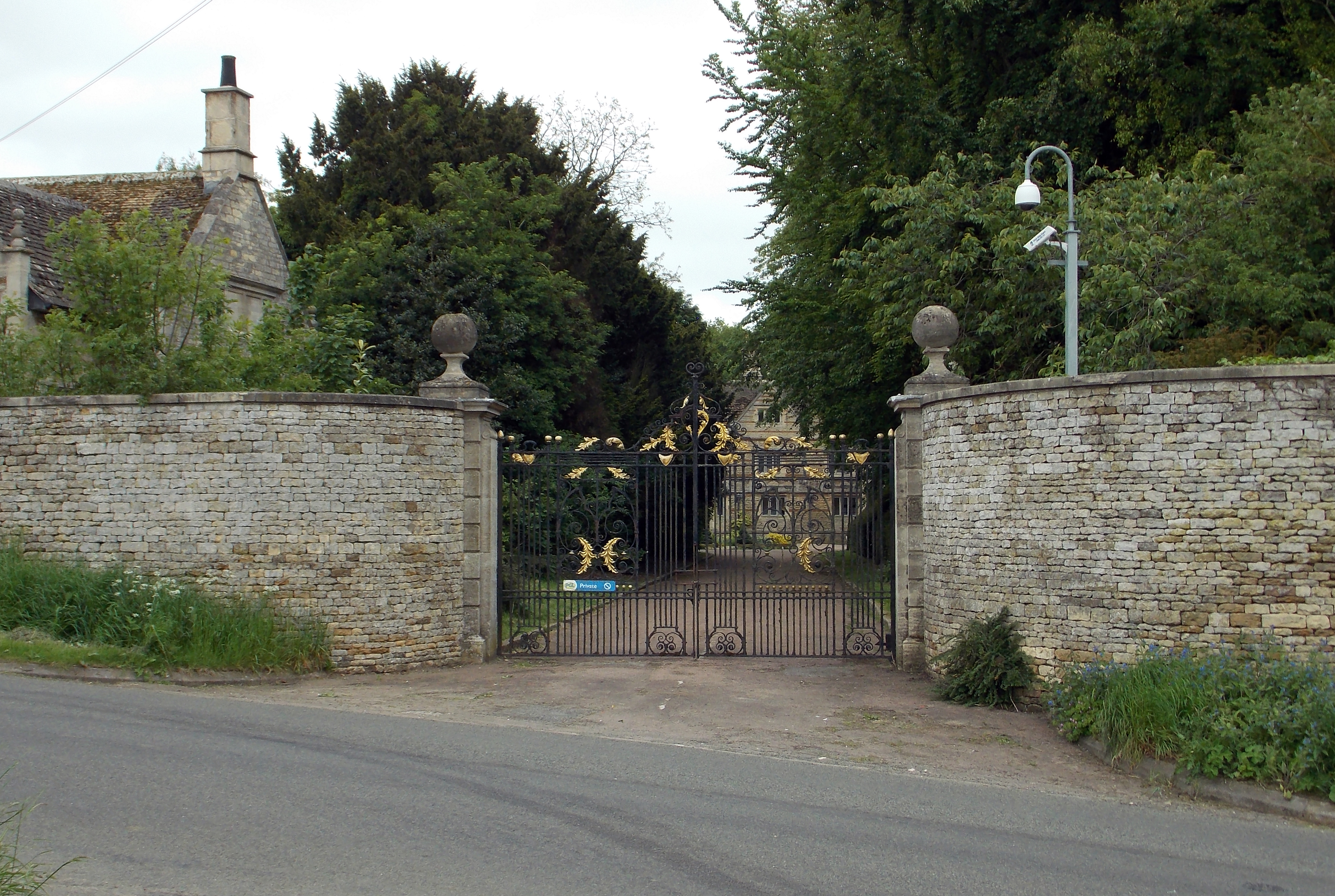
The plantation is easily accessible, with ample parking facilities and well-marked paths for visitors to explore. It is managed by local conservation authorities, who ensure the preservation of its natural habitat and encourage sustainable practices.
Overall, Fulbeck Hilltop Plantation offers a tranquil escape from the hustle and bustle of everyday life. Its unique combination of woodland, panoramic views, and diverse wildlife make it a must-visit destination for anyone seeking to connect with nature in Lincolnshire.
If you have any feedback on the listing, please let us know in the comments section below.
Fulbeck Hilltop Plantation Images
Images are sourced within 2km of 53.044334/-0.57057941 or Grid Reference SK9550. Thanks to Geograph Open Source API. All images are credited.


Fulbeck Hilltop Plantation is located at Grid Ref: SK9550 (Lat: 53.044334, Lng: -0.57057941)
Administrative County: Lincolnshire
District: South Kesteven
Police Authority: Lincolnshire
What 3 Words
///weds.emporium.jumpy. Near Caythorpe, Lincolnshire
Nearby Locations
Related Wikis

Claypole Rural District
Claypole was a rural district in Lincolnshire, Parts of Kesteven from 1894 to 1931. It was formed under the Local Government Act 1894 from that part of...
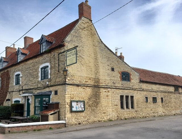
Fulbeck
Fulbeck is a small village and civil parish in the South Kesteven district of Lincolnshire, England. The population (including Byards Leap) taken at the...

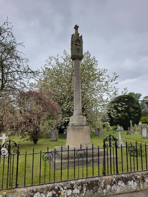
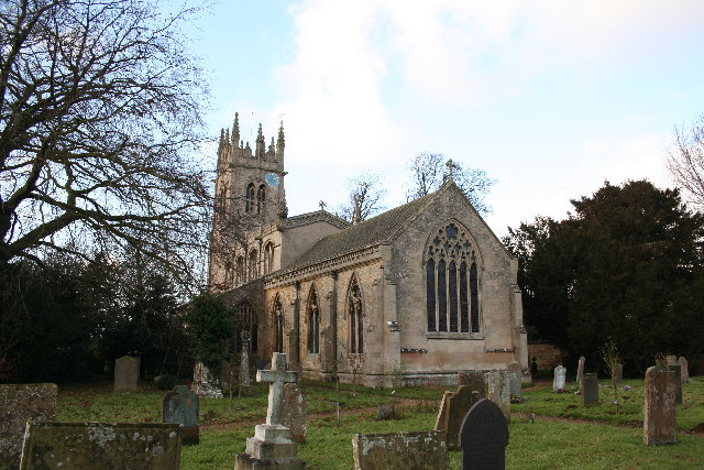
St Nicholas' Church, Fulbeck
St Nicholas' Church is a Grade I listed Church of England parish church dedicated to Saint Nicholas, in Fulbeck, Lincolnshire, England. The church is 9...

Leadenham House
Leadenham House is a Grade II* listed Georgian country house in Leadenham, Lincolnshire, England.The house is constructed in '2½ storeys' of ashlar and...
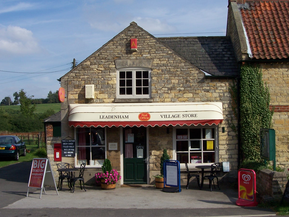
Leadenham
Leadenham is a village and civil parish in North Kesteven district of Lincolnshire, England. The population of the civil parish at the 2011 census was...
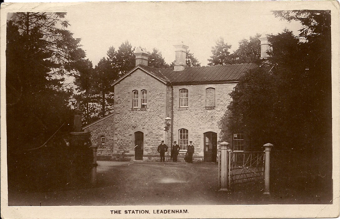
Leadenham railway station
Leadenham railway station was a railway station in Leadenham, Lincolnshire. It closed on 1 November 1965. The station was located on Main Road, being built...
Caythorpe Court
Caythorpe Court is a Grade II* listed former hunting lodge situated about one mile to the east of Caythorpe, Lincolnshire, England. It was originally built...

Caythorpe railway station
Caythorpe railway station was a station in Caythorpe, Lincolnshire. Built to serve the nearby village of the same name. It was on the Grantham and Lincoln...
Nearby Amenities
Located within 500m of 53.044334,-0.57057941Have you been to Fulbeck Hilltop Plantation?
Leave your review of Fulbeck Hilltop Plantation below (or comments, questions and feedback).