Breeche's Wood
Wood, Forest in Hertfordshire Dacorum
England
Breeche's Wood
Breeche's Wood is a picturesque woodland located in Hertfordshire, England. Covering an area of approximately 50 acres, this enchanting forest is known for its diverse flora and fauna, making it a popular destination for nature enthusiasts and hikers alike.
The wood is named after the nearby village of Breeche, which has a long history dating back to the medieval times. The forest is situated on the outskirts of the village, providing a tranquil escape from the hustle and bustle of urban life.
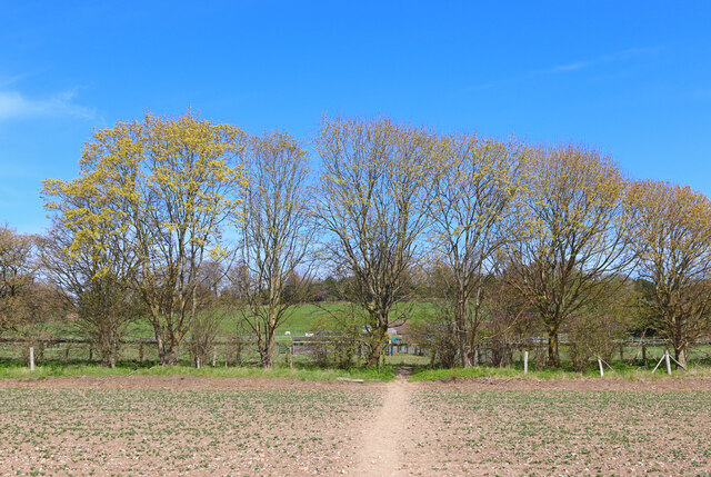
Breeche's Wood boasts a rich variety of trees, including oak, beech, and ash, which provide a lush canopy that filters the sunlight and creates an ethereal atmosphere within the forest. The forest floor is adorned with a carpet of bluebells during the spring, creating a stunning display of colors.
Numerous walking trails wind their way through the wood, allowing visitors to explore its beauty at their leisure. These paths lead to secluded spots, where one can sit and enjoy the peaceful surroundings. The wood is also home to a variety of wildlife, including deer, foxes, and a wide range of bird species, making it a haven for birdwatchers and animal lovers.
Breeche's Wood is open to the public throughout the year, and there are no admission fees. However, visitors are encouraged to respect the natural environment and follow the designated trails to preserve the delicate balance of the ecosystem.
In conclusion, Breeche's Wood is a captivating woodland in Hertfordshire, offering a serene retreat for those seeking a connection with nature. Its diverse flora and fauna, combined with its tranquil ambiance, make it a must-visit destination for anyone in search of natural beauty.
If you have any feedback on the listing, please let us know in the comments section below.
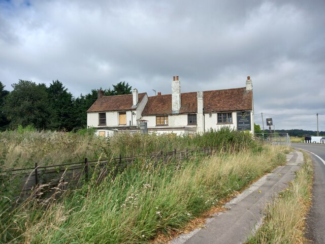
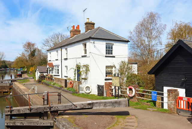
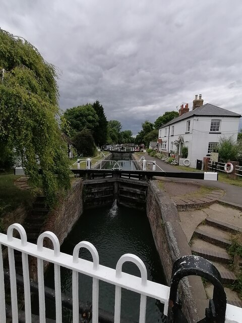
Breeche's Wood Images
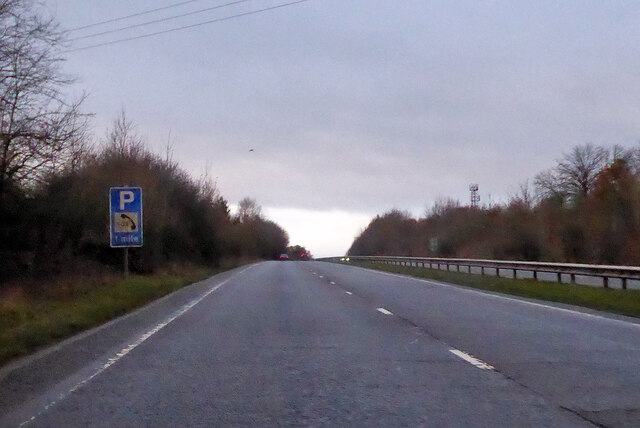
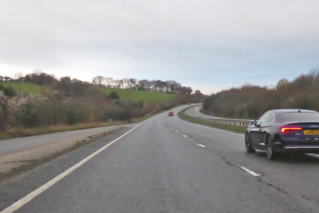
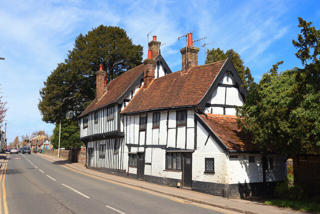
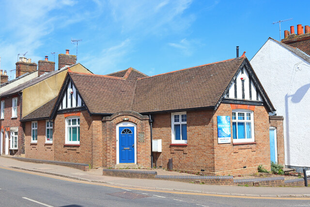
Images are sourced within 2km of 51.768335/-0.61183208 or Grid Reference SP9508. Thanks to Geograph Open Source API. All images are credited.


Breeche's Wood is located at Grid Ref: SP9508 (Lat: 51.768335, Lng: -0.61183208)
Administrative County: Hertfordshire
District: Dacorum
Police Authority: Hertfordshire
What 3 Words
///hotspots.definite.stated. Near Berkhamsted, Hertfordshire
Nearby Locations
Related Wikis

Dudswell, Hertfordshire
Dudswell is a hamlet in South West Hertfordshire, England, between the towns of Tring and Berkhamsted. It is 2 miles (3.2 km) north-west of Berkhamsted...

Rossway
Rossway Park Estate is a 1,000-acre (400 ha) country estate located about 0.5 kilometers south of Berkhamsted in Hertfordshire, England. The house at the...

Northchurch
Northchurch is a village and civil parish in the Bulbourne valley in the county of Hertfordshire in the United Kingdom. It lies between the towns of Berkhamsted...

Northchurch Roman villa
Northchurch Roman Villa is a ruined Roman villa at Northchurch, Hertfordshire. The site was excavated in 1973 due to new housing developments on the site...

Champneys
Champneys is an English country house and its associated estate near Tring, Hertfordshire. The mansion is run as a destination spa by a business using...

Cow Roast
Cow Roast (sometimes written as Cowroast) is a hamlet within the civil parishes of Northchurch and Wigginton in Hertfordshire, England. It is between Tring...
Egerton Rothesay School
Egerton Rothesay School is an independent special education school located in Berkhamsted, Hertfordshire, United Kingdom. == History == Egerton Rothesay...

Wigginton, Hertfordshire
Wigginton (Wigentone - 1086) is a large village and civil parish running north–south and perched at 730 ft (220 m) on the edge of the Chiltern Hills and...
Nearby Amenities
Located within 500m of 51.768335,-0.61183208Have you been to Breeche's Wood?
Leave your review of Breeche's Wood below (or comments, questions and feedback).