Coldbath Clump
Wood, Forest in Bedfordshire
England
Coldbath Clump
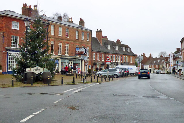
![The Bell, Woburn Public house on Bedford Street [B5704], the main road through the village.](https://s1.geograph.org.uk/geophotos/07/68/02/7680205_9911af22.jpg)
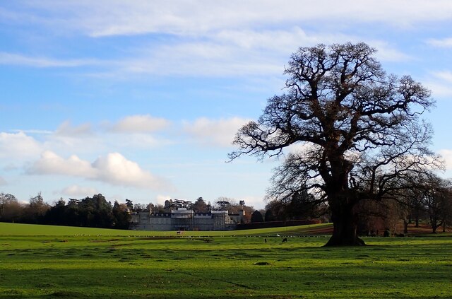
Coldbath Clump is a picturesque wood located in Bedfordshire, England. It is situated on the outskirts of the village of Astwick, near the town of Stotfold. The woodland covers an area of approximately 25 hectares and is part of the larger Bedfordshire countryside.
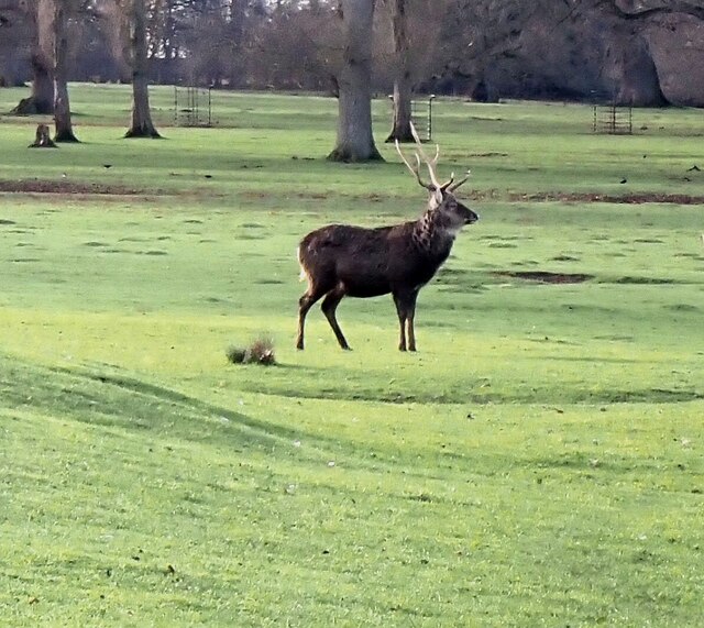
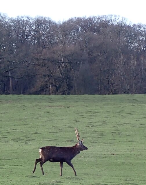
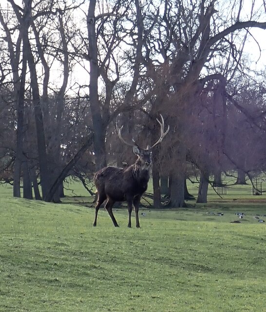
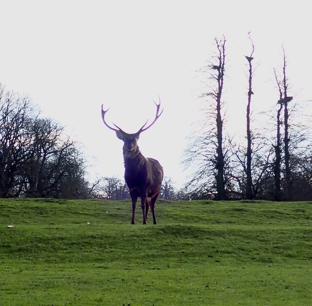
Coldbath Clump is predominantly made up of deciduous trees, including oak, beech, and birch. The forest floor is covered in a lush carpet of ferns, bluebells, and other wildflowers, creating a vibrant and colorful atmosphere during the spring and summer months.
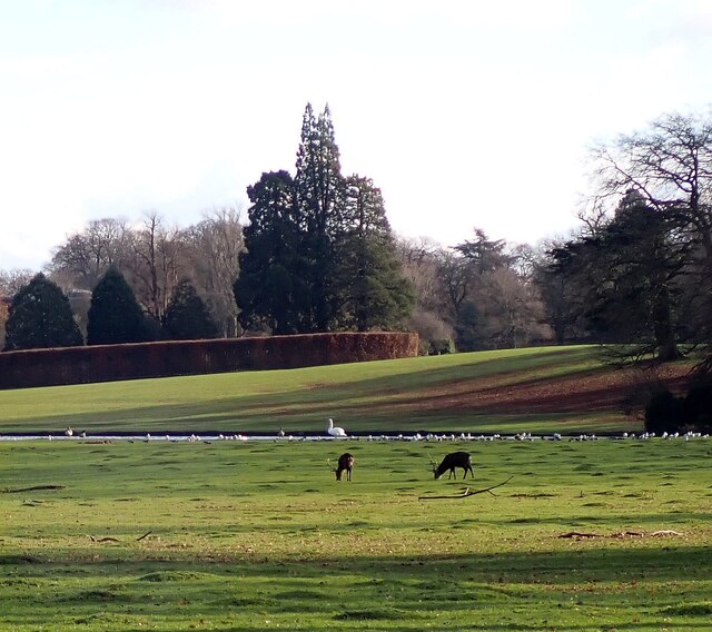
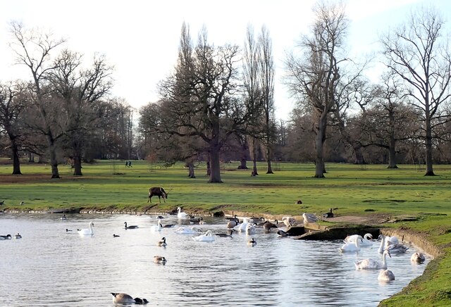
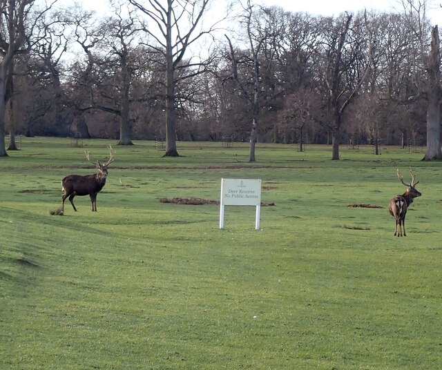
The wood is known for its tranquil and peaceful environment, attracting nature enthusiasts, walkers, and families alike. There are several well-maintained footpaths that wind through the trees, offering visitors the chance to explore and discover the diverse flora and fauna that call Coldbath Clump their home. Birdwatchers can spot various species, including woodpeckers, buzzards, and owls.
The history of Coldbath Clump dates back centuries, with evidence of human activity in the area since prehistoric times. The name "Coldbath" is believed to derive from a natural spring that once flowed through the wood, providing a source of fresh water for local residents.
Today, Coldbath Clump is managed by the local council and is designated as a Site of Special Scientific Interest (SSSI). It is a valuable habitat for wildlife and a cherished recreational space for the community. Whether it's a leisurely stroll, a picnic, or simply enjoying the serenity of nature, Coldbath Clump offers a beautiful escape from the hustle and bustle of everyday life.
If you have any feedback on the listing, please let us know in the comments section below.
Coldbath Clump Images
Images are sourced within 2km of 51.980544/-0.6072772 or Grid Reference SP9532. Thanks to Geograph Open Source API. All images are credited.

Coldbath Clump is located at Grid Ref: SP9532 (Lat: 51.980544, Lng: -0.6072772)
Unitary Authority: Central Bedfordshire
Police Authority: Bedfordshire
What 3 Words
///legroom.tiles.sapping. Near Woburn, Bedfordshire
Nearby Locations
Related Wikis

Woburn Abbey
Woburn Abbey (), occupying the east of the village of Woburn, Bedfordshire, England, is a country house, the family seat of the Duke of Bedford. Although...

Woburn Rural District
Woburn was a rural district in Bedfordshire, England from 1894 to 1900, covering Woburn and surrounding parishes. The district had its origins in the Woburn...

Woburn, Bedfordshire
Woburn (, meaning twisted or crooked stream) is a town and civil parish in Bedfordshire, England, about 5 miles (8 km) southeast of Milton Keynes and 3...

Woburn Town Hall
Woburn Town Hall is a municipal building in the Market Place, Woburn, Bedfordshire, England. The town hall, which has largely been converted for retail...
St Mary's Church, Woburn
St Mary's Church, Woburn, is a Grade II* listed parish church in the Church of England: 164 in Woburn, Bedfordshire. == History == The church, on Park...

Woburn Cottage Hospital
Woburn Cottage Hospital was a hospital in Woburn, Bedfordshire, England. == History == Mary, the Duchess of Bedford (1865–1937) developed an interest in...

Church of St Peter, Milton Bryan
Church of St Peter is a Grade I listed church in Milton Bryan, Bedfordshire, England. It became a listed building on 23 January 1961. == History == St...
Froxfield, Bedfordshire
Froxfield is a small hamlet in Bedfordshire, England. == References == The geographic coordinates are from the Ordnance Survey.
Nearby Amenities
Located within 500m of 51.980544,-0.6072772Have you been to Coldbath Clump?
Leave your review of Coldbath Clump below (or comments, questions and feedback).