Boothby Great Wood
Wood, Forest in Lincolnshire South Kesteven
England
Boothby Great Wood
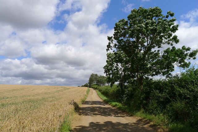
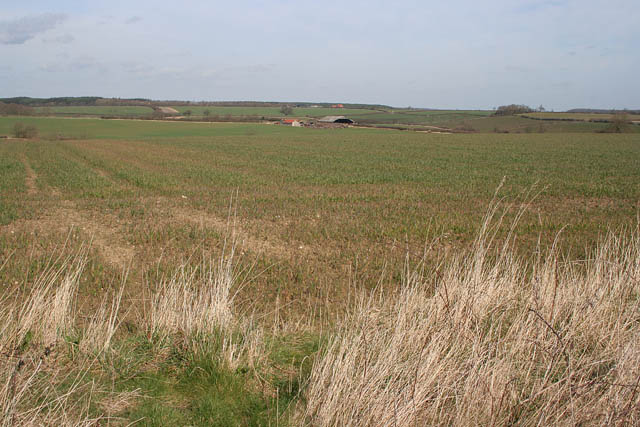
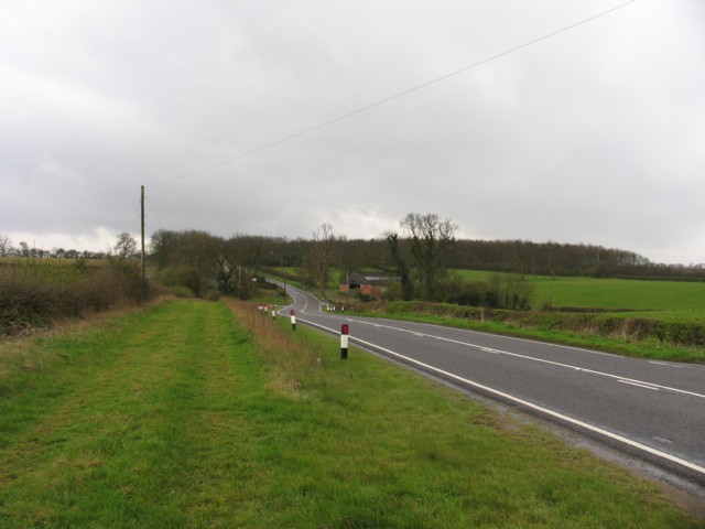
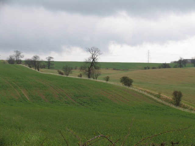
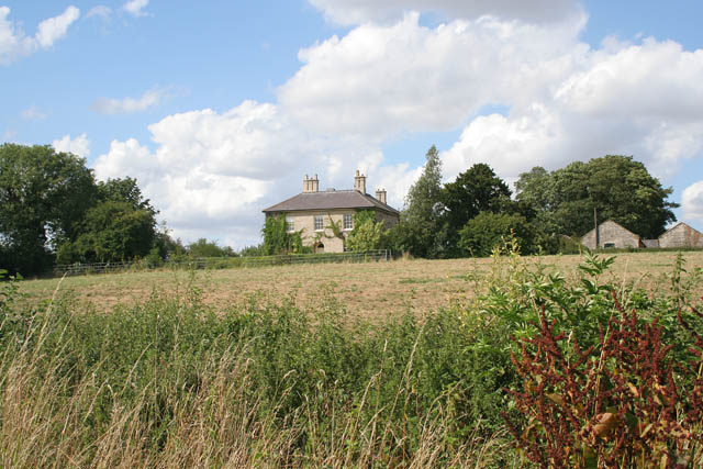
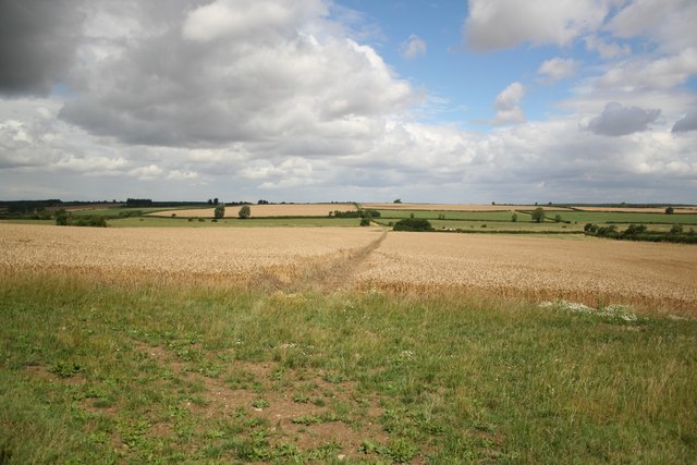
Boothby Great Wood is a sprawling forest located in the county of Lincolnshire, England. Covering an area of approximately 40 hectares, it is a popular destination for nature enthusiasts and outdoor enthusiasts alike. The forest is situated near the village of Boothby Pagnell, and its serene and tranquil environment offers visitors a peaceful retreat from the hustle and bustle of everyday life.
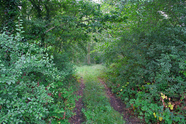
The wood is predominantly made up of broadleaf trees, including oak, ash, and beech, which provide a stunning display of colors during the autumn season. These trees, along with the dense undergrowth, create a rich habitat for a variety of wildlife, including deer, rabbits, and a wide array of bird species.
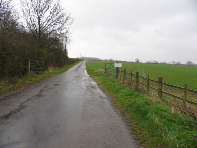
Several well-maintained walking trails crisscross through the forest, offering visitors the opportunity to explore its natural beauty at their own pace. These trails vary in length and difficulty, catering to both casual strollers and more experienced hikers. Along the way, visitors may stumble upon picturesque ponds, ancient remnants of stone walls, and even the occasional hidden glade.
Boothby Great Wood also plays a significant role in the local community, as it provides a source of timber for the surrounding area. Sustainable woodland management practices are in place to ensure the long-term health and vitality of the forest.
Overall, Boothby Great Wood is a captivating destination for nature lovers, offering a chance to immerse oneself in the beauty of Lincolnshire's natural landscape. Whether it's a leisurely walk, a bird-watching expedition, or simply a moment of solitude, this forest has something to offer for everyone.
If you have any feedback on the listing, please let us know in the comments section below.
Boothby Great Wood Images
Images are sourced within 2km of 52.869608/-0.57910774 or Grid Reference SK9531. Thanks to Geograph Open Source API. All images are credited.


Boothby Great Wood is located at Grid Ref: SK9531 (Lat: 52.869608, Lng: -0.57910774)
Administrative County: Lincolnshire
District: South Kesteven
Police Authority: Lincolnshire
What 3 Words
///bulk.loaning.awoken. Near Grantham, Lincolnshire
Nearby Locations
Related Wikis
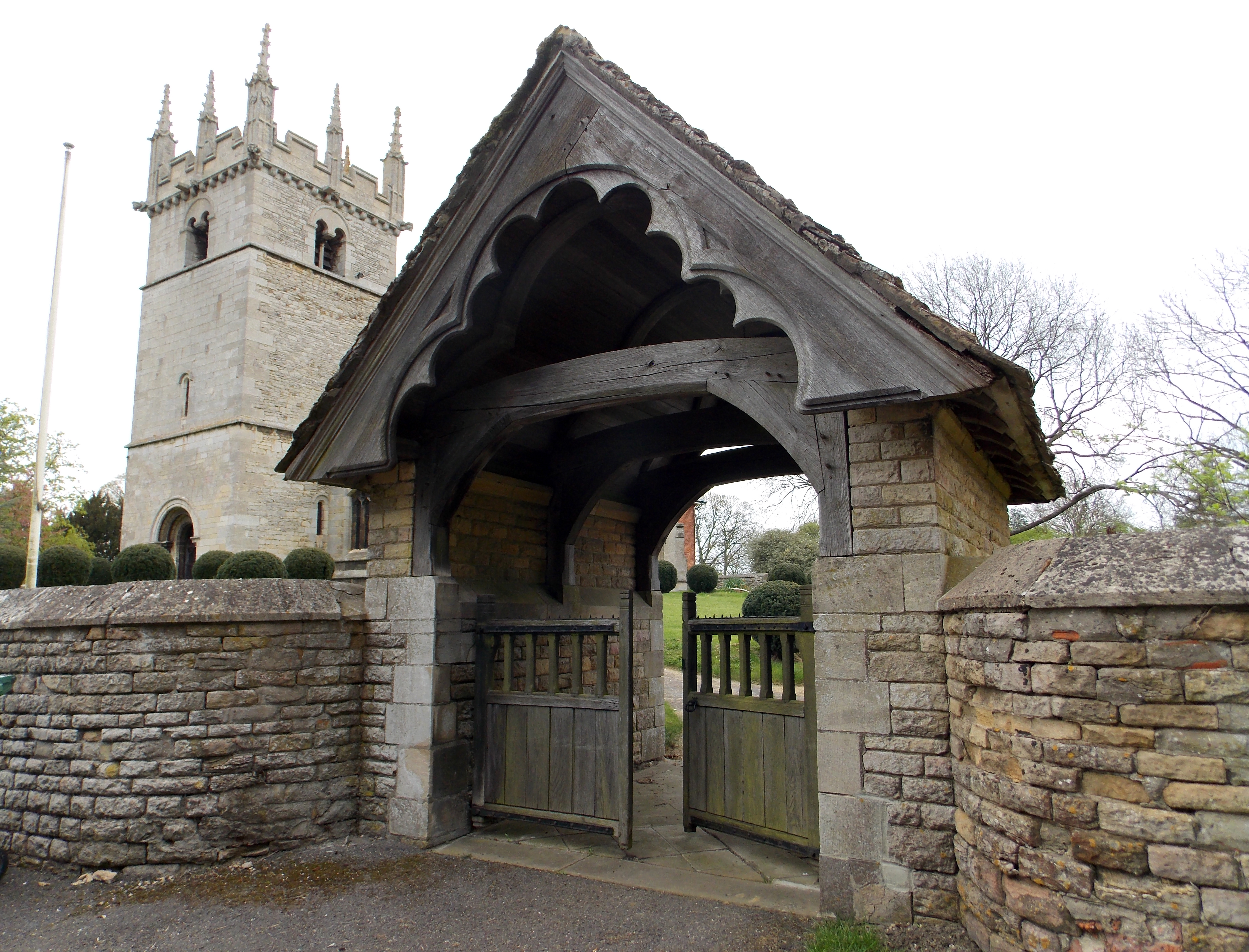
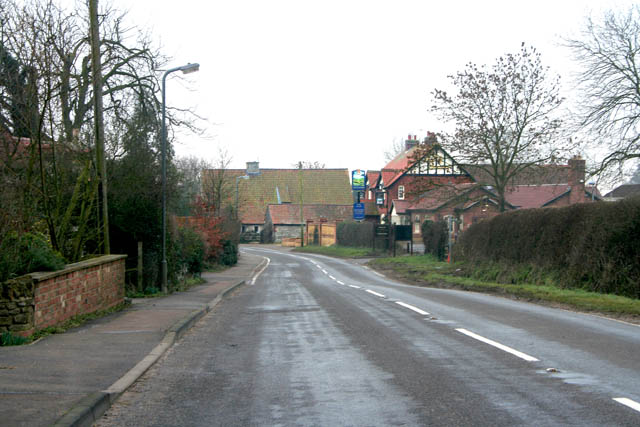
Boothby Pagnell
Boothby Pagnell is a village and civil parish in the South Kesteven district of Lincolnshire, England. The population is now included in the civil parish...
Old Somerby
Old Somerby (pronounced Summerby) is a village and civil parish in the South Kesteven district of Lincolnshire, England, 3 miles (5 km) south-east of Grantham...

Great Ponton railway station
Great Ponton railway station was a station on the East Coast Main Line at Great Ponton, Lincolnshire, England. The Great Northern Railway opened it in...

Grantham Rural District
Grantham was a rural district in Lincolnshire, Parts of Kesteven from 1894 to 1931. It was created by the Local Government Act 1894 based on the Grantham...

Bassingthorpe
Bassingthorpe is a small village in the South Kesteven district of Lincolnshire, England. It is in the civil parish of Bitchfield and Bassingthorpe, 5...
Bitchfield and Bassingthorpe
Bitchfield and Bassingthorpe is a civil parish which includes Boothby Pagnell and Burton Coggles in the South Kesteven district of Lincolnshire, England...
Stoke Bank
Stoke Bank is an inclined stretch of the East Coast Main Line (ECML) between Peterborough and Grantham. It is named after the village of Stoke Rochford...

Westby, Lincolnshire
Westby is a hamlet in the civil parish of Bitchfield and Bassingthorpe, in the South Kesteven district of Lincolnshire, England. It is situated approximately...
Nearby Amenities
Located within 500m of 52.869608,-0.57910774Have you been to Boothby Great Wood?
Leave your review of Boothby Great Wood below (or comments, questions and feedback).