Long Hanger

Wood, Forest in Sussex Chichester

England

Long Hanger

Lavington Lizard The stone lizard statue at Lavington Common.
Lavington Lizard Credit: Chris Thomas-Atkin

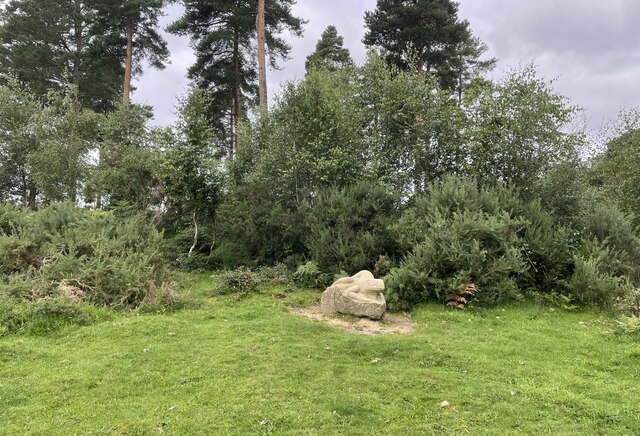
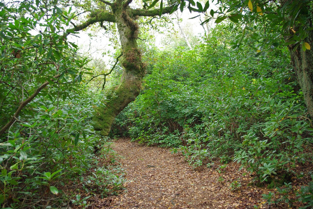
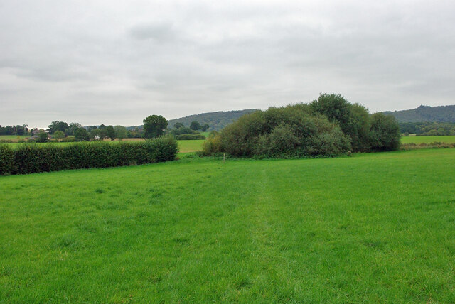
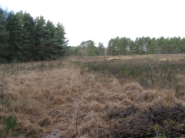
Long Hanger, Sussex is a picturesque woodland area located in the county of Sussex, England. Covering an area of approximately 100 acres, this forest is known for its natural beauty and diverse wildlife.

The woodland consists mainly of deciduous trees such as oak, beech, and birch, which create a dense canopy and provide a habitat for a wide range of animal species. Throughout the forest, there are several well-maintained walking trails, allowing visitors to explore the area and immerse themselves in the tranquility of nature.

Long Hanger is also home to various bird species, including woodpeckers, nightingales, and owls, making it a popular spot for birdwatchers. The forest's peaceful atmosphere and abundance of wildlife make it an ideal destination for nature enthusiasts and those seeking a break from the hustle and bustle of city life.

In addition to its natural beauty, Long Hanger offers recreational activities such as hiking, nature photography, and camping. There are designated camping areas equipped with basic facilities, allowing visitors to spend a night under the stars and enjoy the sounds of the forest.

Overall, Long Hanger, Sussex is a serene and enchanting woodland area that offers a retreat into nature. Its lush greenery, diverse wildlife, and peaceful ambience make it a must-visit destination for anyone looking to reconnect with the natural world.

If you have any feedback on the listing, please let us know in the comments section below.

Long Hanger Images

Images are sourced within 2km of 50.966745/-0.63832266 or Grid Reference SU9519. Thanks to Geograph Open Source API. All images are credited.

Lavington Lizard The stone lizard statue at Lavington Common.
Lavington Lizard
The stone lizard statue at Lavington Common.
Fitzlea Wood Heading through Fitzlea Wood towards Lavington Common.
Fitzlea Wood
Heading through Fitzlea Wood towards Lavington Common.
Ford at Fitzlea Wood
Footbridge, Lavington Common On a National Trust circular walk.  One of two similar bridges on the walk, which follows the stream valley on the outward part. This section is mostly through an overgrown rhododendron thicket, and so of limited interest.
Footbridge, Lavington Common
On a National Trust circular walk. One of two similar bridges on the walk, which follows the stream valley on the outward part. This section is mostly through an overgrown rhododendron thicket, and so of limited interest.
Lavington Common circular walk This section is mostly through an overgrown rhododendron thicket, and so of limited interest.
Lavington Common circular walk
This section is mostly through an overgrown rhododendron thicket, and so of limited interest.
Lavington Common circular walk This section is mostly through an overgrown rhododendron thicket, and so of limited interest.
Lavington Common circular walk
This section is mostly through an overgrown rhododendron thicket, and so of limited interest.
Lavington Common circular walk This section is mostly through an overgrown rhododendron thicket, and so of limited interest.
Lavington Common circular walk
This section is mostly through an overgrown rhododendron thicket, and so of limited interest.
Public footpath 672/2, East Lavington and Duncton At the parish boundary, Duncton being the near side of the barrier.
Public footpath 672/2, East Lavington and Duncton
At the parish boundary, Duncton being the near side of the barrier.
Public footpath 672/2, Petworth After coming across Duncton Common, just into Petworth parish.
Public footpath 672/2, Petworth
After coming across Duncton Common, just into Petworth parish.
Path junction, Duncton Common Strictly speaking, in Petworth parish. Bridleway 671 goes straight on, footpath 672/2 forks left.
Path junction, Duncton Common
Strictly speaking, in Petworth parish. Bridleway 671 goes straight on, footpath 672/2 forks left.
Path, Kilsham Copse Bridleway 671, Petworth, used by the Serpent Trail.
Path, Kilsham Copse
Bridleway 671, Petworth, used by the Serpent Trail.
Private paths, Kilsham Copse Off bridleway 671, Petworth.
Private paths, Kilsham Copse
Off bridleway 671, Petworth.
Path, Duncton Common Public footpath 3527, Duncton, turns sharp right here.  This straight-on path is not public.
Path, Duncton Common
Public footpath 3527, Duncton, turns sharp right here. This straight-on path is not public.
Footpath 720, Duncton Towards the village.
Footpath 720, Duncton
Towards the village.
Footpath 720, Duncton Towards the village.
Footpath 720, Duncton
Towards the village.
Herringbroom Cottages On Duncton Common Road.
Herringbroom Cottages
On Duncton Common Road.
'5' marker in field near Duncton Purpose unknown.
'5' marker in field near Duncton
Purpose unknown.
Footpath 720, Duncton Towards Duncton Common Road by Herringbroom Cottages.
Footpath 720, Duncton
Towards Duncton Common Road by Herringbroom Cottages.
Show me another place!

Long Hanger is located at Grid Ref: SU9519 (Lat: 50.966745, Lng: -0.63832266)

Administrative County: West Sussex

District: Chichester

Police Authority: Sussex

What 3 Words

///clubs.haunts.creatures. Near Petworth, West Sussex

Nearby Locations

Long Hanger Budham Wood

Related Wikis

Lavington Common

Lavington Common is a 31.2-hectare (77-acre) biological Site of Special Scientific Interest south-west of Petworth in West Sussex. It is a National Trust...

Rotherbridge

Rotherbridge is a small, rural community situated approximately 1 mile (1.6 km) south-west of Petworth in West Sussex, England. Until 1800, the road from...

Petworth railway station

Petworth railway station was a railway station nearly two miles (3 km) from the town of Petworth in West Sussex, England. It was located on the former...

Coultershaw Wharf and Beam Pump

Coultershaw Bridge is a rural community situated 1.5 mi (2.4 km) south of the town Petworth in West Sussex, England where the A285 road from Petworth to...

Duncton

Duncton is a village and civil parish in the District of Chichester in West Sussex, England. The village is in the South Downs 3 miles (5 km) south of...

Burton Park

Burton Park is a 19th-century country house in the civil parish of Duncton in West Sussex, and is situated 1/2 a mile to the east of the village of Duncton...

A272 road

The A272 is a road in southeast England. It follows an approximate east–west route from near Heathfield, East Sussex to the city of Winchester, Hampshire...

Graffham Common

Graffham Common is a 38-hectare (94-acre) nature reserve between Midhurst and Petworth in West Sussex. It is owned and managed by the Sussex Wildlife...

Nearby Amenities

Located within 500m of 50.966745,-0.63832266
Turning Circle
Lat/Long: 50.9680751/-0.6444459
The data included in this document is from www.openstreetmap.org. The data is made available under ODbL.

Have you been to Long Hanger?

Leave your review of Long Hanger below (or comments, questions and feedback).