Beaumont Wood
Wood, Forest in Lincolnshire South Kesteven
England
Beaumont Wood
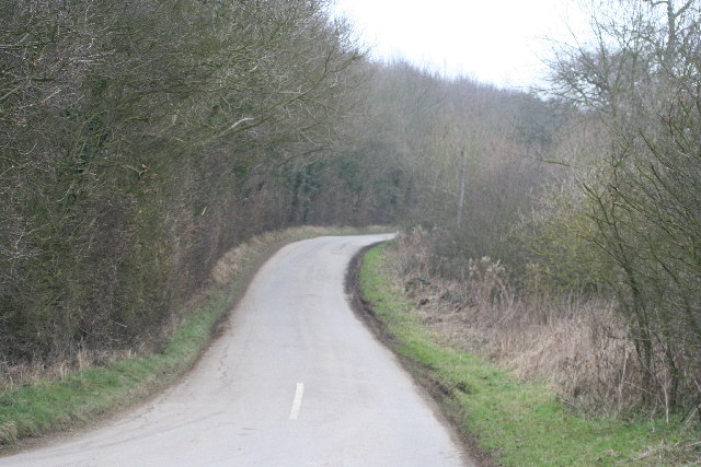
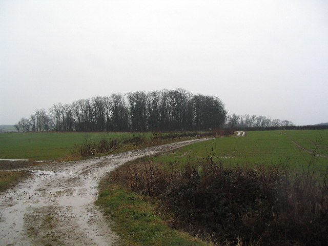
Beaumont Wood is a picturesque forest located in the county of Lincolnshire, England. Covering an area of approximately 100 acres, it is a popular destination for nature enthusiasts and outdoor lovers alike. The wood is situated near the village of Beaumont, adding to the tranquility and charm of the area.
The forest boasts a diverse range of tree species, including oak, birch, and beech, creating a rich and vibrant landscape throughout the seasons. This variety of trees provides a haven for a wide array of wildlife, making it a perfect spot for birdwatching and animal spotting.
Visitors to Beaumont Wood can explore its numerous trails and pathways that meander through the woodland, offering stunning views and peaceful surroundings. There are also designated picnic areas, allowing visitors to relax and enjoy the beauty of the forest while enjoying a meal or snack.
The wood is home to several species of birds, including woodpeckers, owls, and various songbirds, providing ample opportunities for birdwatchers to observe and appreciate these feathered creatures in their natural habitat. Additionally, local wildlife such as deer, foxes, and squirrels can often be spotted amidst the trees.
Beaumont Wood is managed and maintained by Lincolnshire Wildlife Trust, ensuring the preservation of its natural beauty and biodiversity. With its tranquil atmosphere, breathtaking scenery, and abundant wildlife, Beaumont Wood is a true gem for nature enthusiasts and a peaceful retreat for those seeking solace in the heart of Lincolnshire.
If you have any feedback on the listing, please let us know in the comments section below.
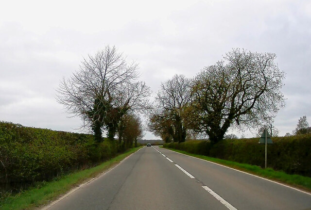
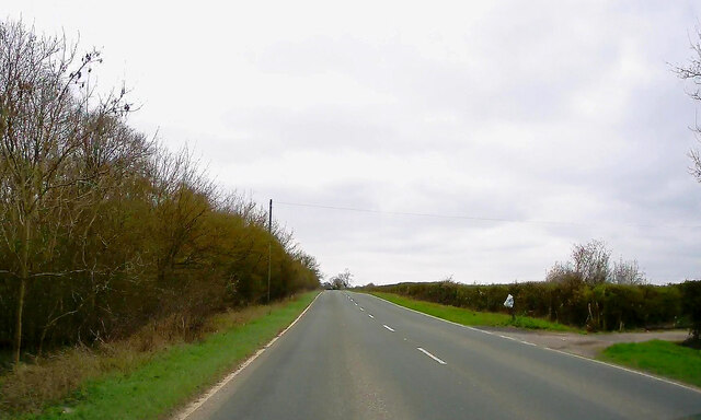
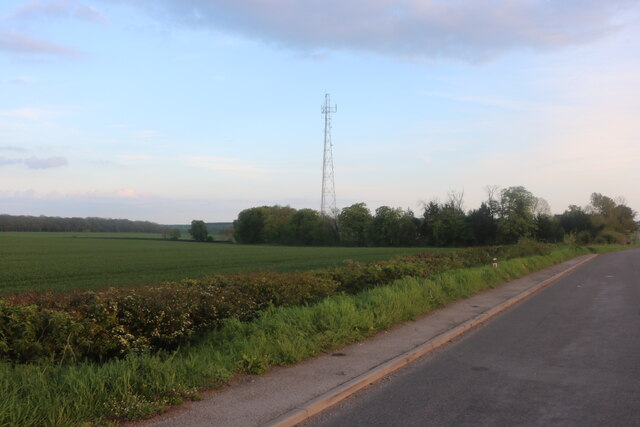
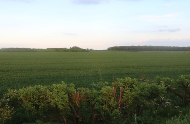
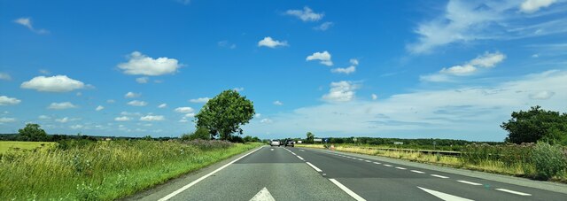
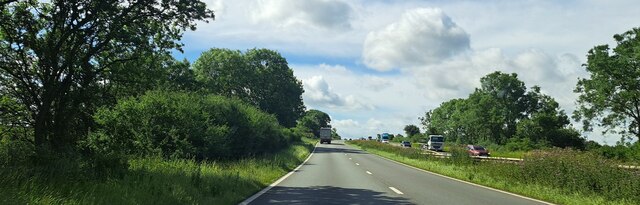
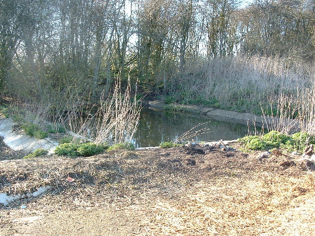
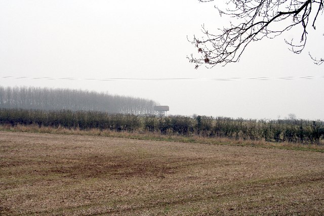
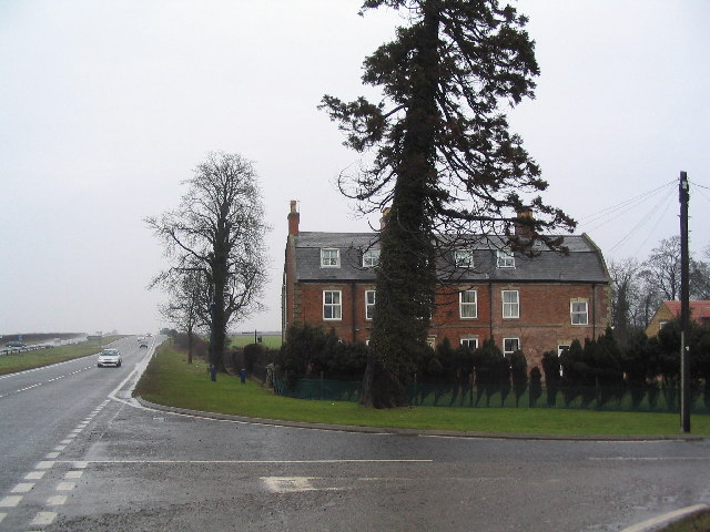
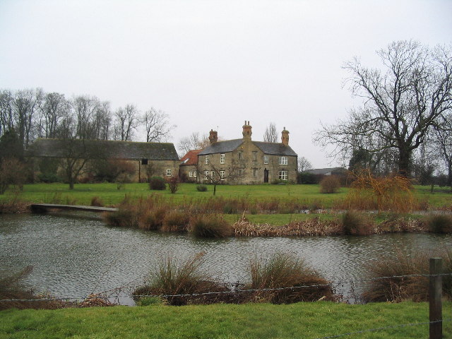
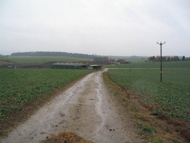
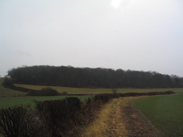
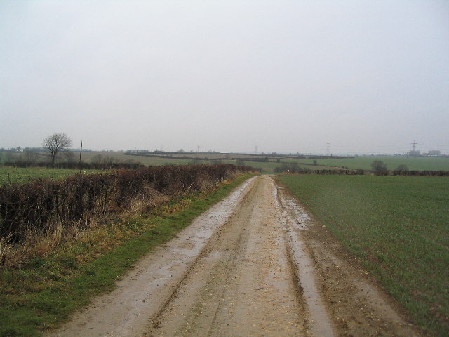
Beaumont Wood Images
Images are sourced within 2km of 52.784958/-0.58297882 or Grid Reference SK9521. Thanks to Geograph Open Source API. All images are credited.


Beaumont Wood is located at Grid Ref: SK9521 (Lat: 52.784958, Lng: -0.58297882)
Administrative County: Lincolnshire
District: South Kesteven
Police Authority: Lincolnshire
What 3 Words
///hours.contained.coconut. Near Colsterworth, Lincolnshire
Nearby Locations
Related Wikis
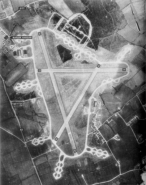
RAF North Witham
Royal Air Force North Witham or more simply RAF North Witham is a former Royal Air Force station located in Twyford Wood, off the A1 between Stamford and...

Twyford Wood
Twyford Wood, formerly known as Twyford Forest, is a commercial wood around grid reference SK948230 in Lincolnshire owned by the Forestry Commission, England...

North Witham
North Witham is a small village and nominally a civil parish in South Kesteven, Lincolnshire, England. The village is located along the upper course of...

Witham Preceptory
Withham Preceptory, one of the smallest Knights Templar preceptories in England, was founded, before 1164, at Temple Hill, near South Witham, Lincolnshire...
Colsterworth
Colsterworth is a village and civil parish in the South Kesteven district of Lincolnshire, England, less than half a mile (0.8 km) west of the A1, about...

Beltisloe
Beltisloe is a Deanery of the Diocese of Lincoln in England, and a former Wapentake.The Wapentake of Beltisloe was established as an ancient administrative...

Swayfield
Swayfield is a village and civil parish in the South Kesteven district of Lincolnshire, England. The population of the civil parish at the 2011 census...

Corby Glen railway station
Corby Glen railway station was a station on the Great Northern Railway main line serving Corby Glen, Lincolnshire. It was west of the village on the Melton...
Nearby Amenities
Located within 500m of 52.784958,-0.58297882Have you been to Beaumont Wood?
Leave your review of Beaumont Wood below (or comments, questions and feedback).