Beehive Plantation
Wood, Forest in Berkshire
England
Beehive Plantation

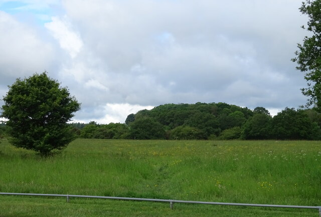
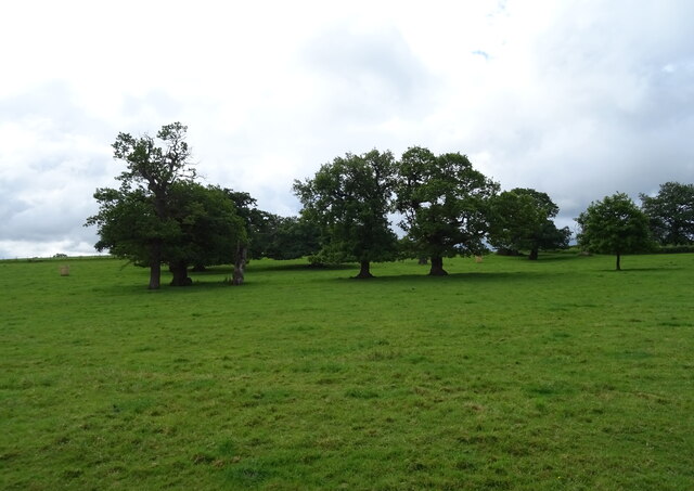
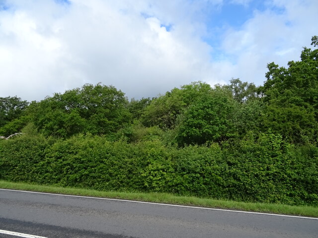
Beehive Plantation is a picturesque woodland area located in Berkshire, England. Situated in the heart of the county, the plantation is renowned for its natural beauty and diverse ecosystem. Covering an extensive area, it is home to a variety of trees and wildlife, making it a popular destination for nature enthusiasts and hikers.
The plantation is predominantly made up of beech trees, hence its name. These magnificent trees create a dense canopy that provides shade and shelter for numerous plant and animal species. The woodlands are also characterized by an enchanting mix of oak, ash, and other deciduous trees, adding to the rich biodiversity of the area.
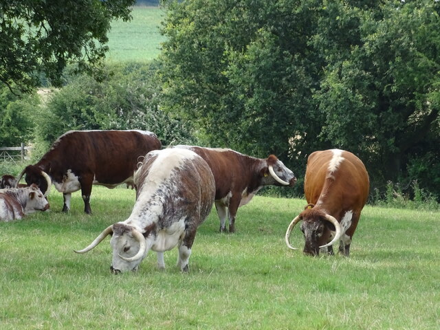
Walking through Beehive Plantation, visitors can expect to encounter an array of wildlife. The woodland is teeming with birdlife, including species such as woodpeckers, owls, and various songbirds. Additionally, small mammals like rabbits, squirrels, and foxes can often be spotted amongst the undergrowth.
For those interested in history, Beehive Plantation holds cultural significance too. The area was historically used for timber production, with evidence of old logging activities still visible in some parts of the woodland. This adds a layer of historical charm to the natural beauty of the plantation.
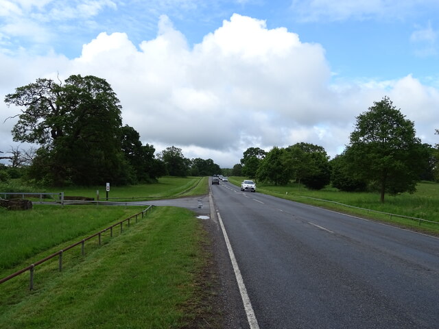
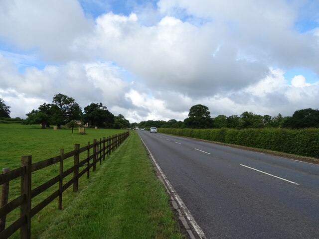
Beehive Plantation offers several well-maintained trails and paths, allowing visitors to explore the woodland at their own pace. With its breathtaking scenery, diverse wildlife, and fascinating history, the plantation is a must-visit destination for anyone seeking an immersive nature experience in Berkshire.
If you have any feedback on the listing, please let us know in the comments section below.
Beehive Plantation Images
Images are sourced within 2km of 51.450769/-0.6264059 or Grid Reference SU9573. Thanks to Geograph Open Source API. All images are credited.


Beehive Plantation is located at Grid Ref: SU9573 (Lat: 51.450769, Lng: -0.6264059)
Unitary Authority: Windsor and Maidenhead
Police Authority: Thames Valley
What 3 Words
///candle.jets.jazzy. Near Old Windsor, Berkshire
Nearby Locations
Related Wikis
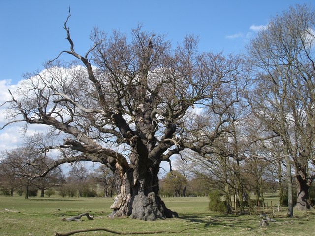
Windsor Forest and Great Park
Windsor Forest and Great Park is a 1,778.9-hectare (4,396-acre) biological Site of Special Scientific Interest in Berkshire and Surrey, located south of...

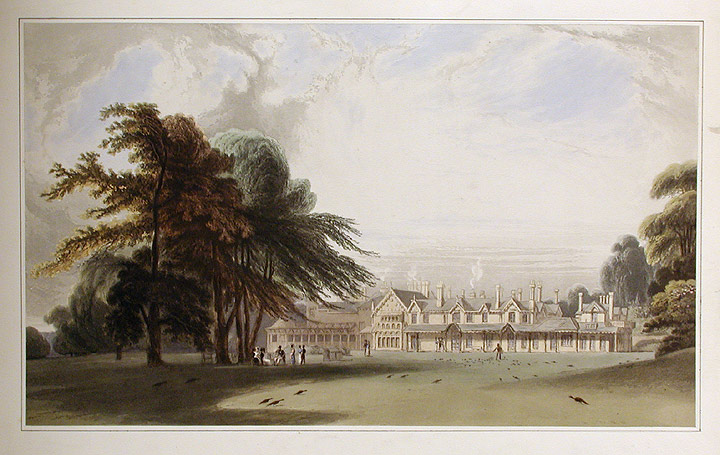
Cranbourne Lodge
Cranbourne Lodge was a keeper's lodge for the royal hunting grounds of Cranbourne Chase, once adjoining but now part of Windsor Great Park in the English...

Windsor Rural District
Windsor was a rural district in Berkshire, England from 1894 to 1974. It was formed under the Local Government Act 1894 as a successor to the Windsor rural...

Windsor Great Park
Windsor Great Park is a Royal Park of 2,020 hectares (5,000 acres), including a deer park, to the south of the town of Windsor on the border of Berkshire...

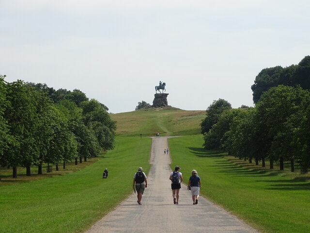
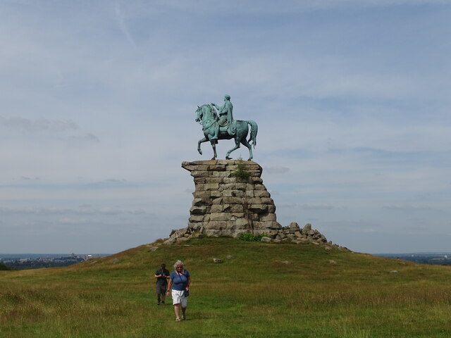
The Copper Horse
The Copper Horse is an 1831 equestrian statue of George III. The monumental bronze statue by Richard Westmacott stands on a stone plinth at Snow Hill...
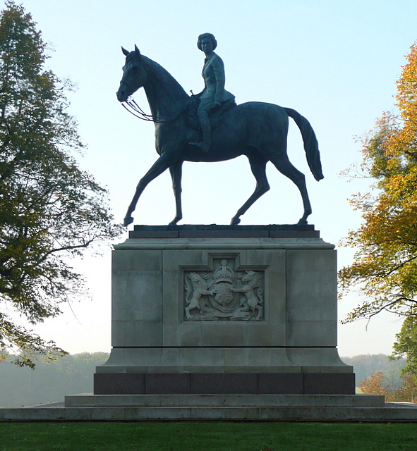
Equestrian statue of Elizabeth II, Windsor Great Park
An equestrian statue of Elizabeth II stands in Windsor Great Park near Windsor, Berkshire. The statue, designed by sculptor Philip Jackson, was commissioned...
Royal Lodge
Royal Lodge is a Grade II listed house in Windsor Great Park in Berkshire, England, half a mile north of Cumberland Lodge and 3.2 miles (5.1 km) south...

Royal Chapel of All Saints
The Royal Chapel of All Saints or Queen Victoria's Chapel is a Grade II listed church in the grounds of the Royal Lodge in Windsor Great Park, Berkshire...
Nearby Amenities
Located within 500m of 51.450769,-0.6264059Have you been to Beehive Plantation?
Leave your review of Beehive Plantation below (or comments, questions and feedback).