Hilltop Plantation
Wood, Forest in Lincolnshire South Kesteven
England
Hilltop Plantation

Hilltop Plantation, located in Lincolnshire, is a captivating woodland area renowned for its scenic beauty and diverse plant life. Situated atop a gently sloping hill, this plantation covers an expansive area of land, making it an ideal destination for nature enthusiasts and outdoor explorers.
The woodland of Hilltop Plantation is characterized by a mix of deciduous and coniferous trees, creating a harmonious blend of colors throughout the year. The towering oak, beech, and chestnut trees dominate the landscape, providing a majestic canopy that offers shade and shelter to a variety of wildlife.
The forest floor of Hilltop Plantation is adorned with a rich tapestry of wildflowers, ferns, and mosses. Numerous walking trails wind their way through the woodland, allowing visitors to immerse themselves in the tranquility of nature and discover the hidden gems that lie within.
The plantation is also home to a diverse range of animal species. Red deer, rabbits, and squirrels can often be spotted darting between the trees, while birds such as woodpeckers, owls, and thrushes fill the air with their melodious songs.
Hilltop Plantation offers an array of recreational activities, including hiking, birdwatching, and photography. It also provides a peaceful setting for picnics and family outings, with designated picnic areas and benches strategically placed throughout the plantation.
With its breathtaking natural beauty and abundant wildlife, Hilltop Plantation in Lincolnshire is a must-visit destination for those seeking solace in the midst of nature. Whether it's a leisurely stroll through the woodland or a more adventurous hike, this enchanting plantation promises a memorable experience for all who visit.
If you have any feedback on the listing, please let us know in the comments section below.
Hilltop Plantation Images
Images are sourced within 2km of 53.006554/-0.57846003 or Grid Reference SK9546. Thanks to Geograph Open Source API. All images are credited.


Hilltop Plantation is located at Grid Ref: SK9546 (Lat: 53.006554, Lng: -0.57846003)
Administrative County: Lincolnshire
District: South Kesteven
Police Authority: Lincolnshire
What 3 Words
///hushed.quail.fancy. Near Caythorpe, Lincolnshire
Nearby Locations
Related Wikis

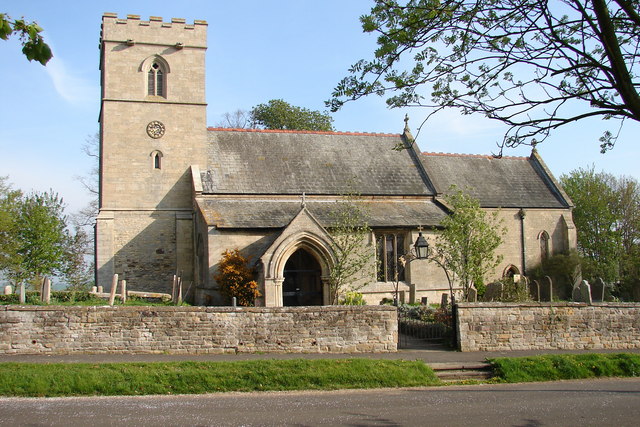
Normanton-on-Cliffe
Normanton-on-Cliffe, sometimes known as Normanton, is a village and civil parish in the South Kesteven district of Lincolnshire, England. It lies on the...
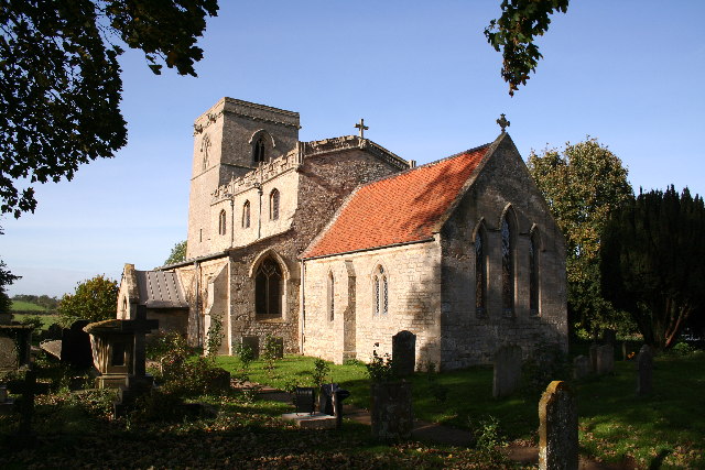
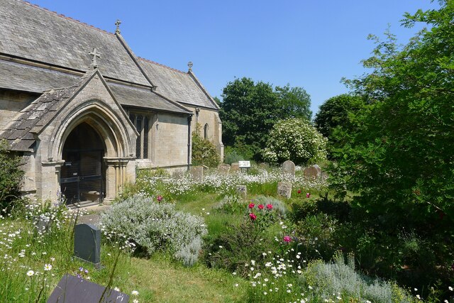
St Nicholas Church, Normanton
St Nicholas Church is a redundant Anglican church in Normanton-on-Cliffe, Lincolnshire, England. It is recorded in the National Heritage List for England...
Carlton Scroop
Carlton Scroop is a small village and civil parish in the South Kesteven district of Lincolnshire, England. The population of the civil parish (including...
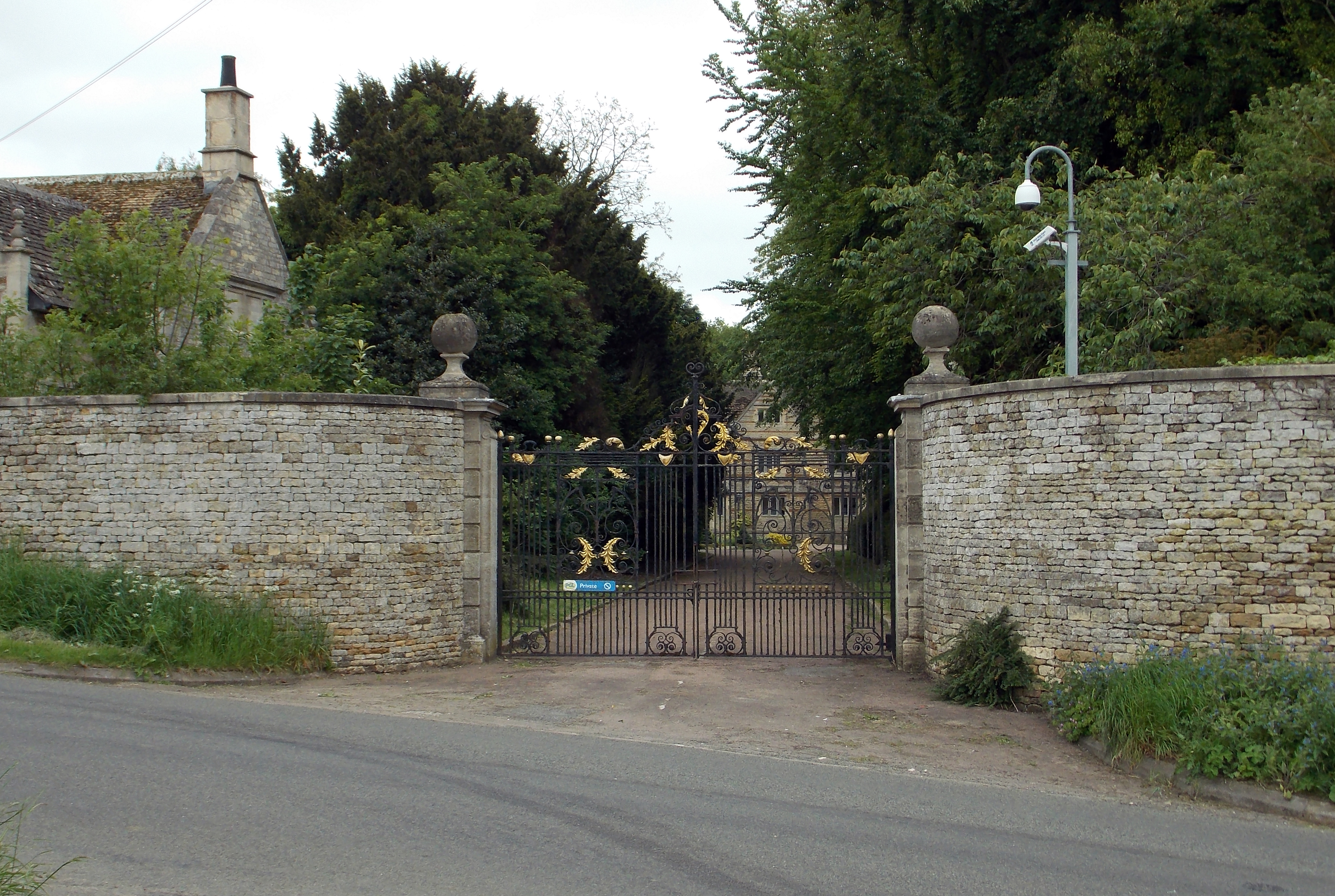
Caythorpe Court
Caythorpe Court is a Grade II* listed former hunting lodge situated about one mile to the east of Caythorpe, Lincolnshire, England. It was originally built...

Frieston
Frieston is a village in the South Kesteven district of Lincolnshire, England. It is situated just west of the A607 road, and 7 miles (11 km) north from...
Caythorpe, Lincolnshire
Caythorpe is a large village and civil parish in the South Kesteven district of Lincolnshire, England. The population at 2011 census was 1,374. It is situated...

Caythorpe railway station
Caythorpe railway station was a station in Caythorpe, Lincolnshire. Built to serve the nearby village of the same name. It was on the Grantham and Lincoln...

Sudbrook, Lincolnshire
Sudbrook is a hamlet in the South Kesteven district of Lincolnshire, England. It is situated 12 miles (19 km) south-east of Newark-on-Trent, 6 miles (10...
Nearby Amenities
Located within 500m of 53.006554,-0.57846003Have you been to Hilltop Plantation?
Leave your review of Hilltop Plantation below (or comments, questions and feedback).