Summerlins Wood

Wood, Forest in Buckinghamshire

England

Summerlins Wood

Burnham Beeches Burnham Beeches is owned by the Corporation of London. This ancient woodland is a National Nature Reserve.
Burnham Beeches Credit: David Hawgood

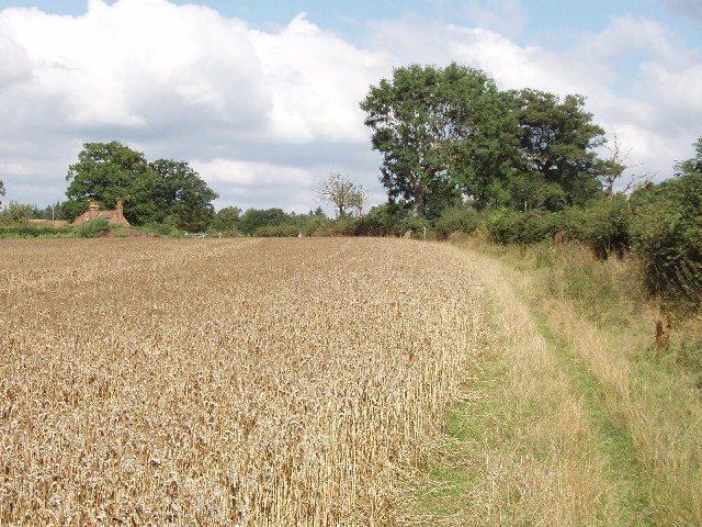
Summerlins Wood is a picturesque forest located in the county of Buckinghamshire, England. Situated near the town of Aylesbury, this woodland covers an expansive area and is renowned for its natural beauty and diverse flora and fauna.

The wood boasts a rich history, dating back several centuries. In medieval times, it served as a hunting ground for local nobility and was later used as a source of timber for the construction industry. Today, it is a protected area, managed by the local authorities and conservation groups to preserve its unique ecosystem.

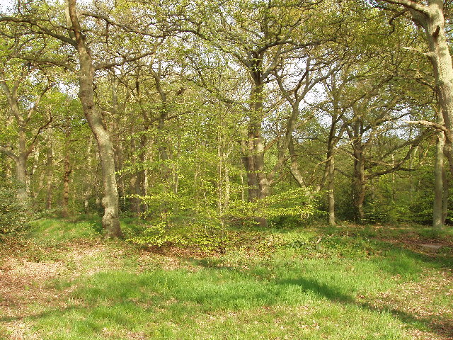
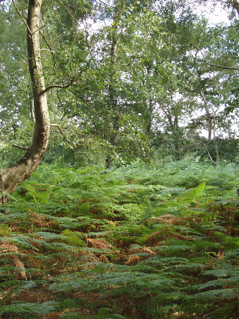
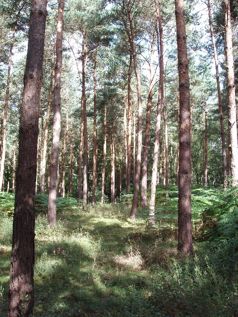
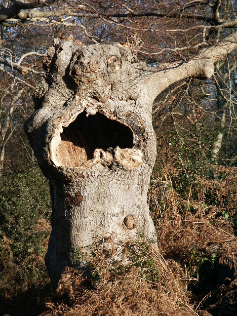
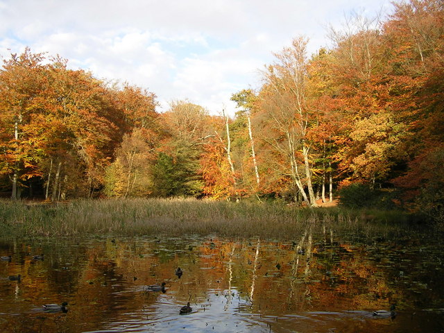
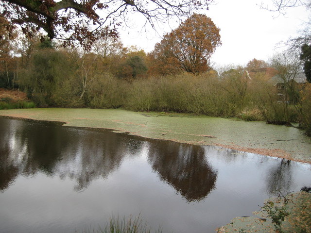
Summerlins Wood offers a tranquil and serene environment, making it a popular destination for nature enthusiasts, hikers, and families alike. The forest is characterized by its dense canopy of broadleaf trees, including oak, beech, and ash, which provide a habitat for a wide variety of wildlife. Visitors may encounter species such as deer, foxes, badgers, and a plethora of bird species, making it a haven for birdwatchers.

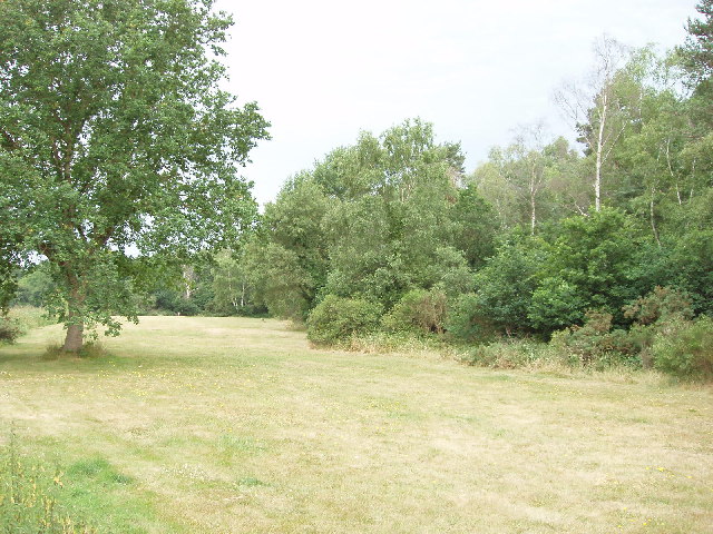
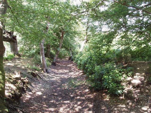
Walking trails crisscross the wood, allowing visitors to explore its enchanting surroundings. These trails cater to all levels of fitness, from leisurely strolls to more challenging hikes. Along the way, visitors can enjoy the vibrant displays of wildflowers and listen to the soothing sounds of the forest.

Several picnic areas are strategically placed throughout the wood, providing a perfect spot for visitors to relax and enjoy a packed lunch amidst nature. The forest also offers educational opportunities, with information boards placed at key points, providing insights into the local flora, fauna, and history.

Overall, Summerlins Wood in Buckinghamshire offers a delightful escape from the hustle and bustle of daily life, providing a serene and natural retreat for all nature lovers.

If you have any feedback on the listing, please let us know in the comments section below.

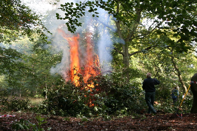
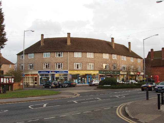
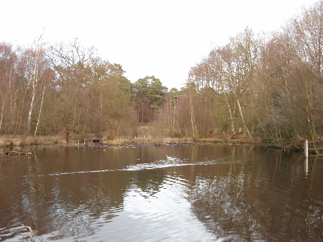
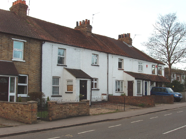
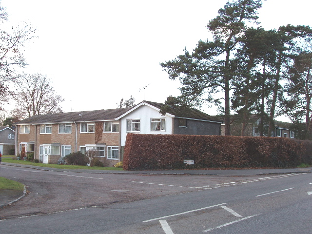
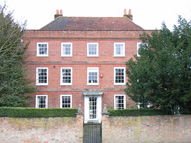
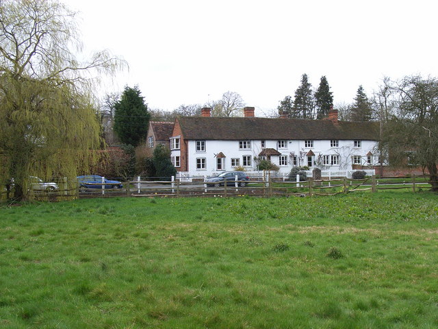
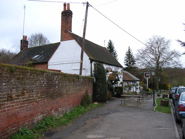
Summerlins Wood Images

Images are sourced within 2km of 51.571607/-0.62511924 or Grid Reference SU9586. Thanks to Geograph Open Source API. All images are credited.

Burnham Beeches Burnham Beeches is owned by the Corporation of London. This ancient woodland is a National Nature Reserve.
Burnham Beeches
Burnham Beeches is owned by the Corporation of London. This ancient woodland is a National Nature Reserve.
Jones Way across the green at Hedgerley Hill This open grassland with a football pitch and children's play area has houses all around it, and the houses back onto woodland.
Jones Way across the green at Hedgerley Hill
This open grassland with a football pitch and children's play area has houses all around it, and the houses back onto woodland.
East Burnham Common in Burnham Beeches This area was bought by the City of London to preserve it for public enjoyment
East Burnham Common in Burnham Beeches
This area was bought by the City of London to preserve it for public enjoyment
Egypt Woods, near Farnham Common These woods are privately owned by the Portman Burtley estate, which has provided permissive paths by arrangement with the Forestry Commission. The woods are just North of Burnham Beeches.
Egypt Woods, near Farnham Common
These woods are privately owned by the Portman Burtley estate, which has provided permissive paths by arrangement with the Forestry Commission. The woods are just North of Burnham Beeches.
Conifers in Egypt Woods, near Farnham Common The woods are mainly deciduous, with beeches like the adjacent Burnham Beeches, also oak and birch. But at the Northern edge of the woods are a stand of conifers.
Conifers in Egypt Woods, near Farnham Common
The woods are mainly deciduous, with beeches like the adjacent Burnham Beeches, also oak and birch. But at the Northern edge of the woods are a stand of conifers.
Abbey Park Farm across a cornfield, by Littleworth Common
Hartley Court Moat (Hardicanutes), Burnham Beeches This was a moated homestead dating from the 12th to 14th Centuries. This moat protected the inner enclosure of 0.6 hectares. There is also a shallower ditch and a low bank which would have been surmounted by a fence protecting an outer enclosure of almost 4 hectares.
Hartley Court Moat (Hardicanutes), Burnham Beeches
This was a moated homestead dating from the 12th to 14th Centuries. This moat protected the inner enclosure of 0.6 hectares. There is also a shallower ditch and a low bank which would have been surmounted by a fence protecting an outer enclosure of almost 4 hectares.
Old tree in Burnham Beeches Taken on Boxing Day walk Christmas 2004, while the Tsunami was underway unbeknown to us.
Old tree in Burnham Beeches
Taken on Boxing Day walk Christmas 2004, while the Tsunami was underway unbeknown to us.
Rhododendron Clearance in Burnham Beeches Rhododendrons are being cleared and burned in the Moat area to create suitable conditions for the re-establishment of heathland flora and fauna.
Rhododendron Clearance in Burnham Beeches
Rhododendrons are being cleared and burned in the Moat area to create suitable conditions for the re-establishment of heathland flora and fauna.
Shops in Farnham Common These shops are on Beaconsfield Road, the A355 from Slough to Beaconsfield, at the junction with Rosewood Way. Photo taken from the end of Beeches Road.
Shops in Farnham Common
These shops are on Beaconsfield Road, the A355 from Slough to Beaconsfield, at the junction with Rosewood Way. Photo taken from the end of Beeches Road.
Upper pond, Burnham Beeches View looking north-east from the dam at the end of the pond. There are ducks on the pond.
Upper pond, Burnham Beeches
View looking north-east from the dam at the end of the pond. There are ducks on the pond.
Woodland Cottages, Farnham Common These cottages are on the main road through the village, Beaconsfield Road.
Woodland Cottages, Farnham Common
These cottages are on the main road through the village, Beaconsfield Road.
Ingle Glen, Farnham Common An area of mainly small post-war town houses. Photo at the junction with Beaconsfield Road.
Ingle Glen, Farnham Common
An area of mainly small post-war town houses. Photo at the junction with Beaconsfield Road.
St Mary the Virgin's, Hedgerley The parish forms a joint benefice with Farnham Royal.
St Mary the Virgin's, Hedgerley
The parish forms a joint benefice with Farnham Royal.
Court Farm, Hedgerley Situated in Village Road, this was formerly a boys' home, but is now a private residence. The building dates from the late 18th century.
Court Farm, Hedgerley
Situated in Village Road, this was formerly a boys' home, but is now a private residence. The building dates from the late 18th century.
Cottages in Hedgerley Hedgerley is boastful of its Best Kept Village awards.
Cottages in Hedgerley
Hedgerley is boastful of its Best Kept Village awards.
The White Horse, Hedgerley On Village Lane, Hedgerley's main road.
The White Horse, Hedgerley
On Village Lane, Hedgerley's main road.
Wooburn Common: Green Common Lane With Ship Hill to the right.
Wooburn Common: Green Common Lane
With Ship Hill to the right.
Show me another place!

Summerlins Wood is located at Grid Ref: SU9586 (Lat: 51.571607, Lng: -0.62511924)

Unitary Authority: Buckinghamshire

Police Authority: Thames Valley

What 3 Words

///played.grabs.afford. Near Farnham Royal, Buckinghamshire

Related Wikis

Burnham Beeches

Burnham Beeches is a 374.6-hectare (926-acre) biological Site of Special Scientific Interest situated west of Farnham Common in the village of Burnham...

South Bucks

South Bucks was one of four local government districts in the non-metropolitan county of Buckinghamshire, in South East England. The district was formed...

Egypt, Buckinghamshire

Egypt is a hamlet in the South Bucks district of Buckinghamshire, England. It is located within Farnham Royal civil parish, just to the north of Farnham...

Hedgerley

Hedgerley is a village and civil parish in South Bucks district in Buckinghamshire, England. The parish is centred 3 miles (4.8 km) south-east of Beaconsfield...

Littleworth Common

Littleworth Common is a 16.1-hectare (40-acre) biological Site of Special Scientific Interest west of Farnham Common in Buckinghamshire. It is Common land...

Farnham Common

Farnham Common is a village in Buckinghamshire, England, 3 miles north of Slough and 3 miles south of Beaconsfield, on the A355 road. It adjoins the ancient...

Littleworth, South Bucks

Littleworth is a hamlet in Burnham civil parish, in the South Bucks district of Buckinghamshire, England. There are some cottages and houses around Littleworth...

Beaconsfield services

Beaconsfield services is a motorway service station on the M40 motorway in Beaconsfield in Buckinghamshire, England. It is operated by Extra, and opened...

Nearby Amenities

Located within 500m of 51.571607,-0.62511924
Bus Stop
The Yew Tree
Bus: yes
Public Transport: platform
Shelter: no
Lat/Long: 51.5724166/-0.6214128
Bus Stop
The Yew Tree
Bus: yes
Public Transport: platform
Shelter: no
Lat/Long: 51.5725177/-0.6212973
Bus Stop
Harehatch Lane
Bus: yes
Public Transport: platform
Shelter: no
Lat/Long: 51.5747873/-0.6233993
Bus Stop
Harehatch Lane
Bus: yes
Naptan AtcoCode: 040000001239
Naptan NaptanCode: bucdagtm
Public Transport: platform
Shelter: no
Lat/Long: 51.5751518/-0.623425
Direction: 200
Generator Method: photovoltaic
Generator Output Electricity: yes
Generator Solar Modules: 2
Generator Source: solar
Generator Type: solar_photovoltaic_panel
Location: roof
Power: generator
Lat/Long: 51.5674347/-0.62304
Colour: yellow
Marker: post
Material: plastic
Utility: gas
Lat/Long: 51.5746162/-0.6233072
Colour: yellow
Marker: post
Material: plastic
Utility: gas
Lat/Long: 51.5745734/-0.622994
Colour: yellow
Marker: post
Material: plastic
Utility: gas
Lat/Long: 51.5745685/-0.6229907
Colour: red and white
Marker: aerial
Material: plastic
Utility: gas
Lat/Long: 51.574569/-0.6229885
Colour: red and white
Marker: aerial
Material: plastic
Utility: gas
Lat/Long: 51.5745742/-0.6229912
Colour: red and white
Marker: aerial
Material: plastic
Utility: gas
Lat/Long: 51.5746355/-0.6234041
Colour: yellow
Marker: post
Material: plastic
Utility: gas
Lat/Long: 51.5746342/-0.6233969
Colour: red and white
Marker: aerial
Material: plastic
Utility: gas
Lat/Long: 51.5747298/-0.623573
Colour: yellow
Marker: post
Material: plastic
Utility: gas
Lat/Long: 51.5747279/-0.6235692
Colour: red and white
Marker: aerial
Material: plastic
Utility: gas
Lat/Long: 51.5750441/-0.6232325
Colour: red and white
Marker: aerial
Material: plastic
Utility: gas
Lat/Long: 51.5750348/-0.6232269
Colour: red and white
Marker: aerial
Material: plastic
Utility: gas
Lat/Long: 51.5749699/-0.6237462
Colour: yellow
Marker: post
Material: plastic
Utility: gas
Lat/Long: 51.5750419/-0.6232387
Colour: yellow
Marker: post
Material: plastic
Utility: gas
Lat/Long: 51.5749703/-0.6237356
Ford: yes
Lat/Long: 51.5706413/-0.6238954
Ford: yes
Lat/Long: 51.5701103/-0.6277065
The data included in this document is from www.openstreetmap.org. The data is made available under ODbL.

Have you been to Summerlins Wood?

Leave your review of Summerlins Wood below (or comments, questions and feedback).