Captain's Covert
Wood, Forest in Rutland
England
Captain's Covert

Captain's Covert is a serene and picturesque woodland located in Rutland, a county in the East Midlands region of England. This enchanting forest spans an area of approximately 100 acres and is known for its abundant natural beauty and diverse wildlife.
The woodland is characterized by its dense canopy of majestic oak, beech, and ash trees, which provide a peaceful and shaded environment for visitors to explore. The forest floor is adorned with a vibrant carpet of wildflowers and ferns, adding to its ethereal charm.
Captain's Covert is a haven for nature enthusiasts and birdwatchers, as it is home to a wide range of fauna. Visitors may catch a glimpse of native species such as deer, foxes, rabbits, and various species of birds, including woodpeckers and owls. The forest is particularly popular during the spring and summer months when migratory birds visit, adding to the already thriving ecosystem.
The woodland offers a network of well-maintained footpaths and trails, allowing visitors to immerse themselves in the tranquility of the surroundings. Whether walking, hiking, or cycling, there are routes suitable for all ages and abilities. One of the highlights of Captain's Covert is its hidden lake, a serene spot where visitors can relax and enjoy the soothing sounds of nature.
The woodland is open to the public throughout the year, free of charge, and provides a much-needed escape from the hustle and bustle of everyday life. Captain's Covert is a true gem in Rutland, offering a slice of untouched wilderness for nature lovers to explore and appreciate.
If you have any feedback on the listing, please let us know in the comments section below.
Captain's Covert Images
Images are sourced within 2km of 52.641604/-0.59407462 or Grid Reference SK9505. Thanks to Geograph Open Source API. All images are credited.


Captain's Covert is located at Grid Ref: SK9505 (Lat: 52.641604, Lng: -0.59407462)
Unitary Authority: Rutland
Police Authority: Leicestershire
What 3 Words
///directly.developer.warblers. Near Edith Weston, Rutland
Nearby Locations
Related Wikis
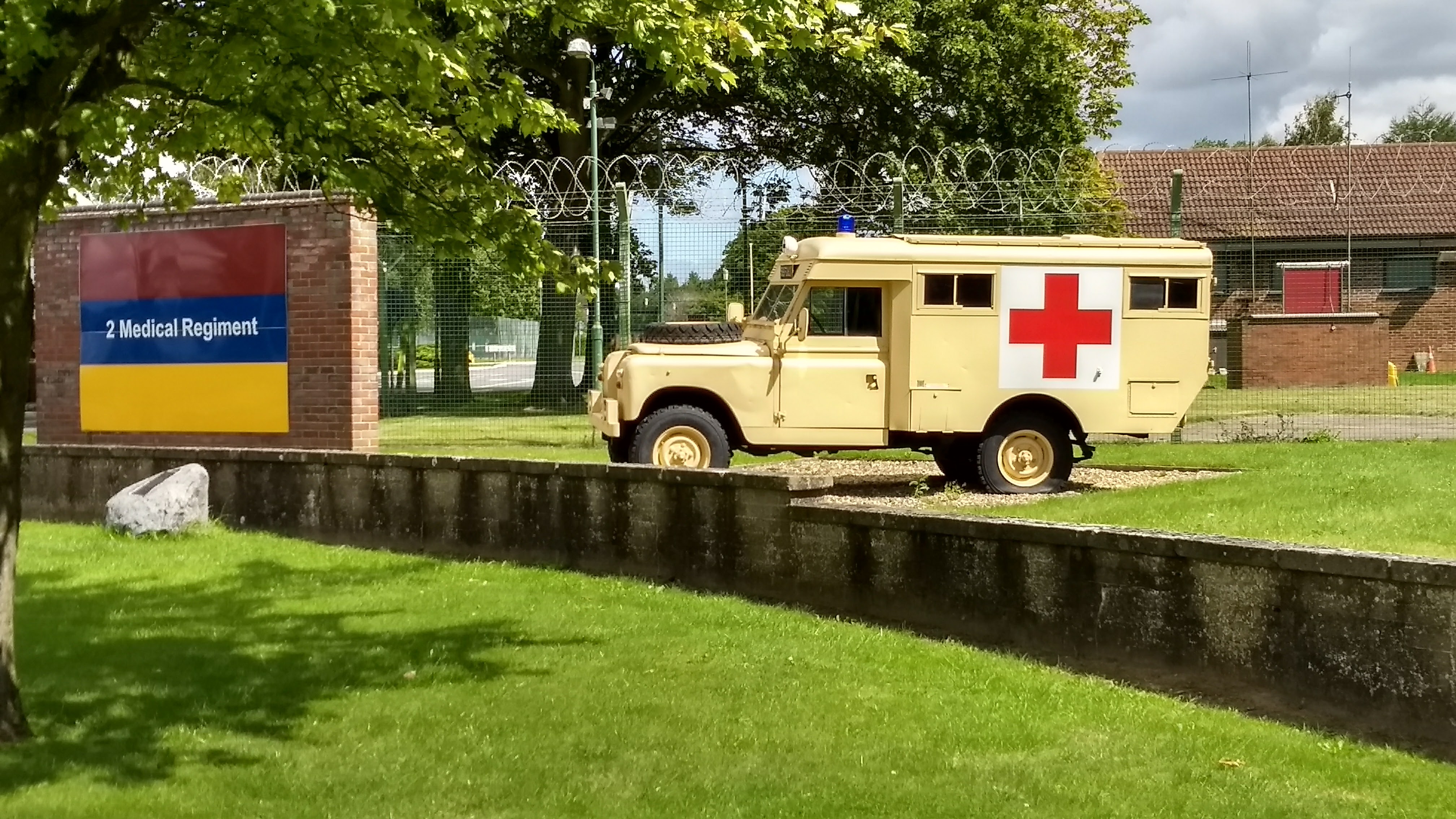
St George's Barracks, North Luffenham
St George's Barracks is a British Army installation near to the village of North Luffenham in Rutland, England. It is set to close in 2026. == History... ==
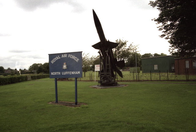
RAF North Luffenham
Royal Air Force North Luffenham or more simply RAF North Luffenham is a former Royal Air Force station in Rutland, England. It is near to the villages...
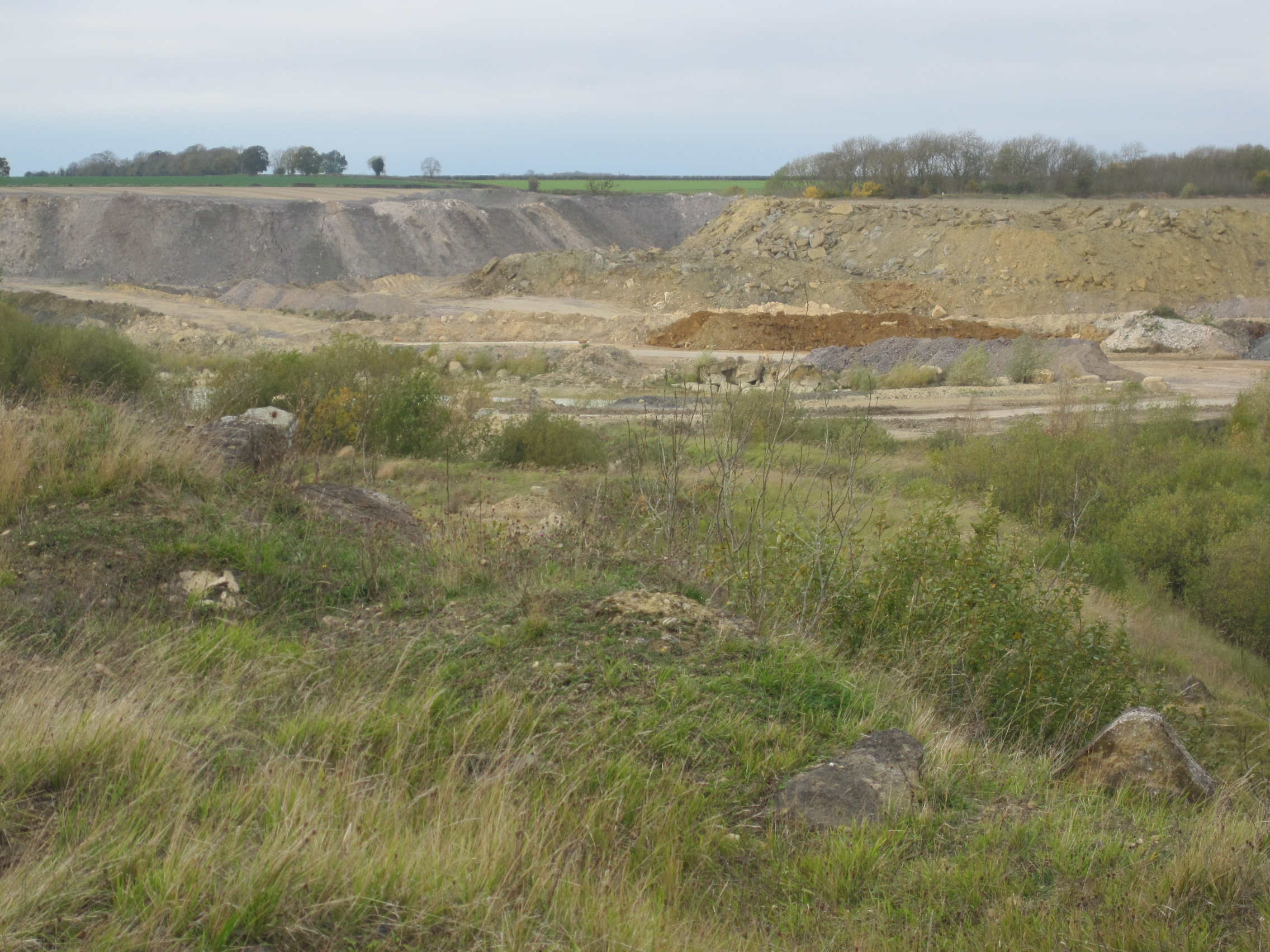
Ketton Quarries
Ketton Quarries is a 115.6-hectare (286-acre) biological and geological Site of Special Scientific Interest east of Ketton in Rutland. It is a Geological...
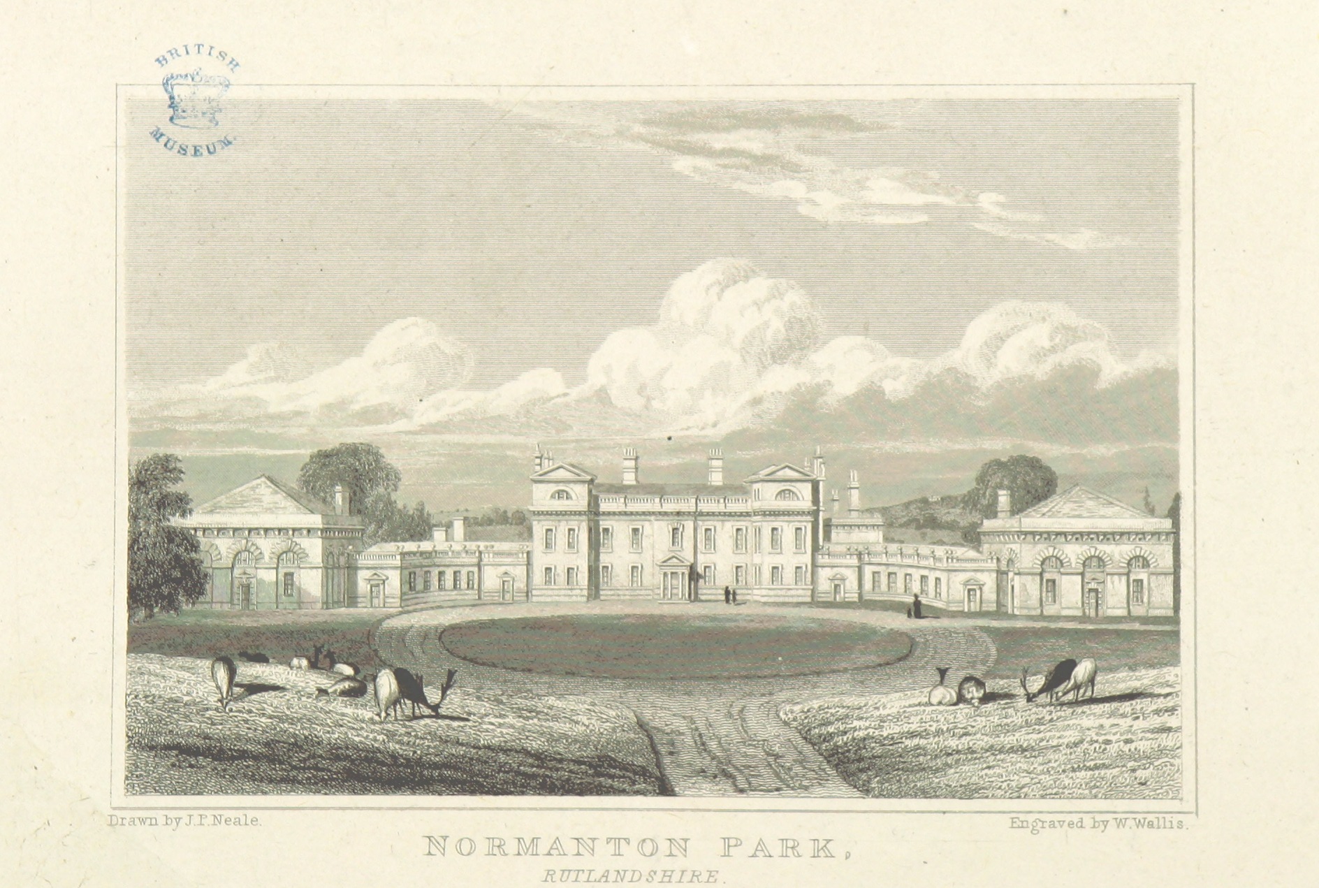
Normanton Hall
Normanton Hall was a large, now demolished, country house at Normanton in Rutland. == History == Normanton was the possession of the De Normanvilles for...

Normanton, Rutland
Normanton is a village and civil parish on the eastern shore of Rutland Water in the county of Rutland in the East Midlands of England. The population...

Blisworth Clay Formation
The Blisworth Clay Formation is a geological formation in England. It is part of the Great Oolite Group and was deposited in the Bathonian stage of the...
St Matthew's Church, Normanton
St Matthew's Church is a de-consecrated church in Normanton, Rutland. It is now on the shore of Rutland Water. The building is Grade II listed. == History... ==

North Luffenham Quarry
North Luffenham Quarry is a 4.6-hectare (11-acre) biological Site of Special Scientific Interest east of North Luffenham in Rutland.This is calcareous...
Nearby Amenities
Located within 500m of 52.641604,-0.59407462Have you been to Captain's Covert?
Leave your review of Captain's Covert below (or comments, questions and feedback).