Cowhill Belt
Wood, Forest in Bedfordshire
England
Cowhill Belt
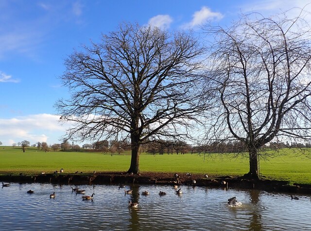
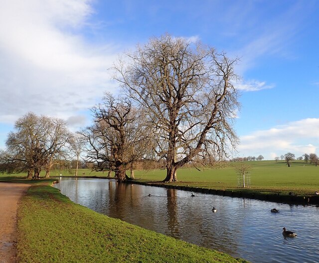
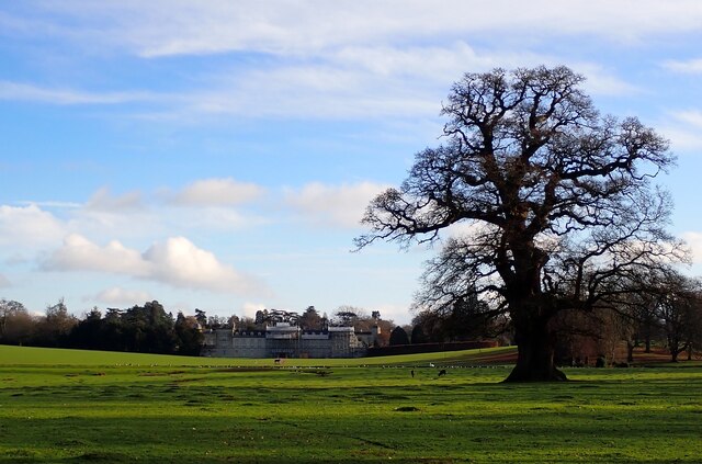
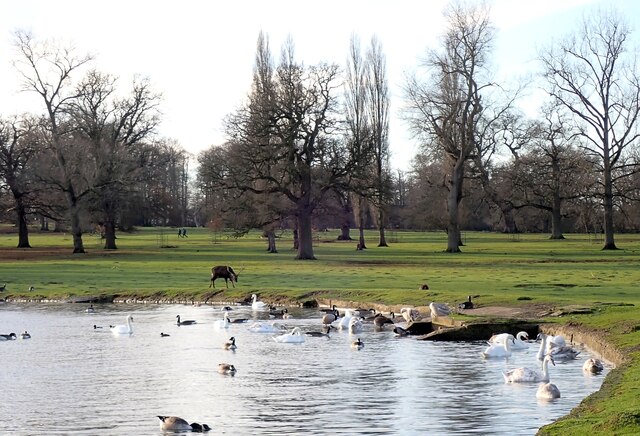
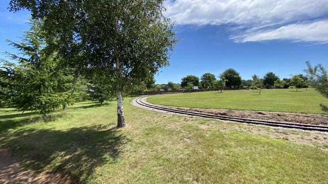
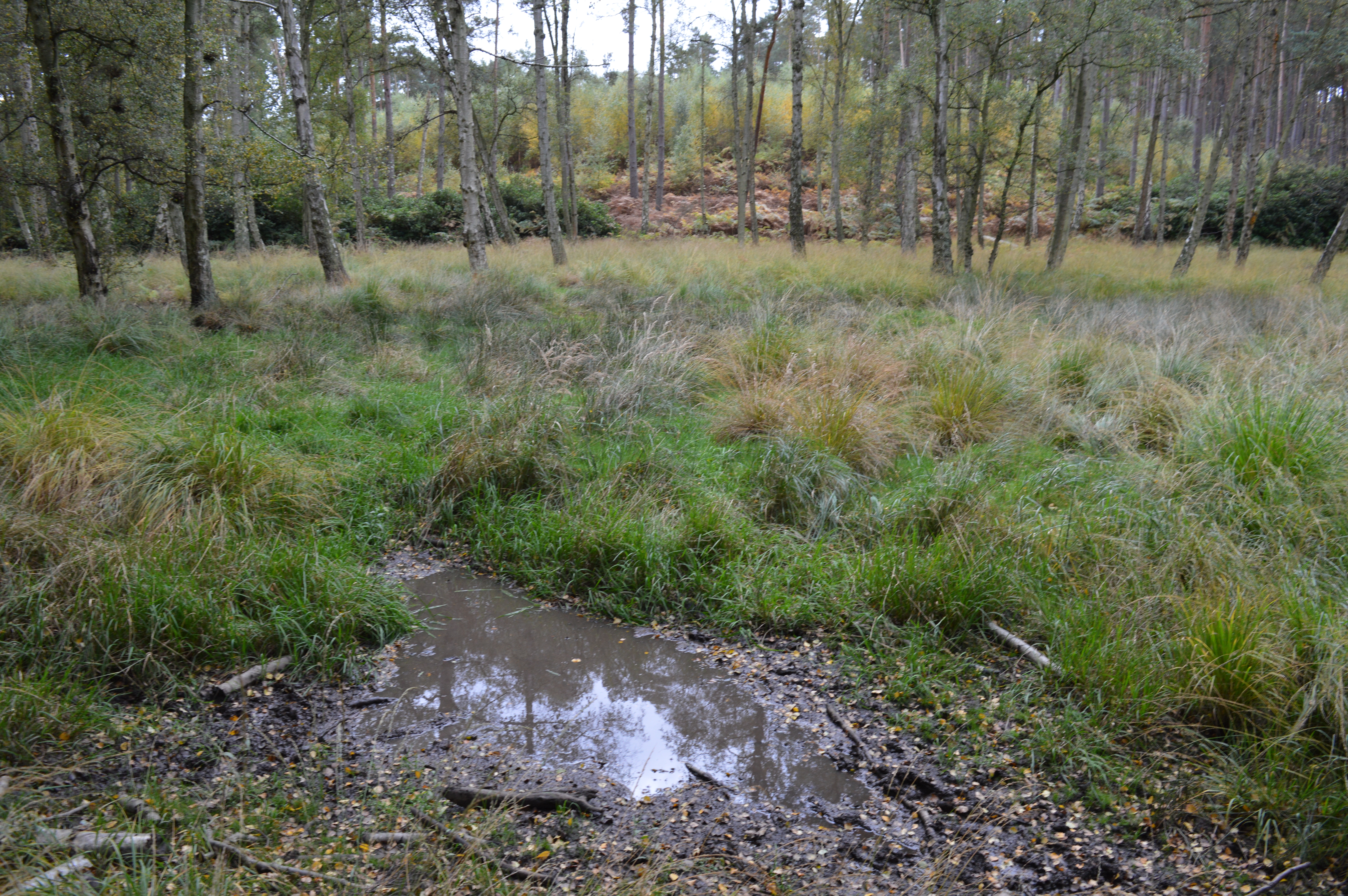
Cowhill Belt is a woodland area located in Bedfordshire, England. Situated near the village of Wood, it covers a total area of approximately 200 acres. The forest is primarily made up of deciduous trees, with oak, beech, and ash being the dominant species. These trees provide a rich and diverse habitat for a variety of wildlife.
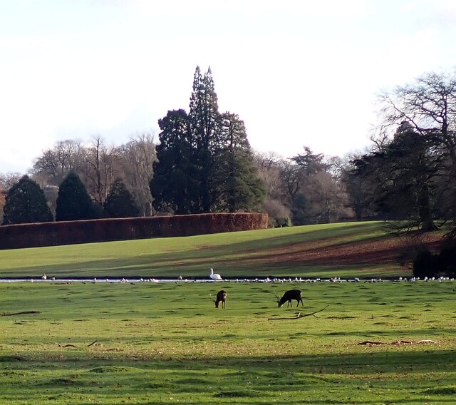
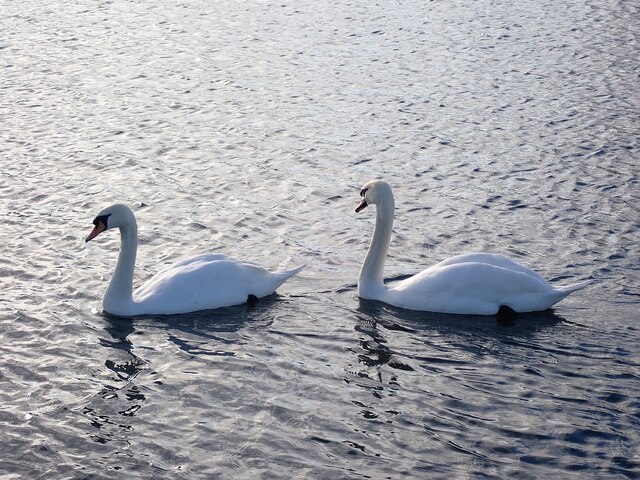
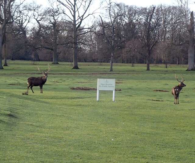
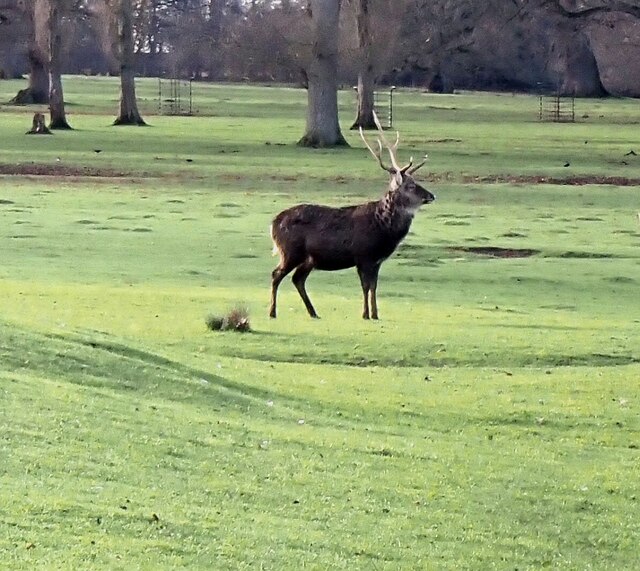
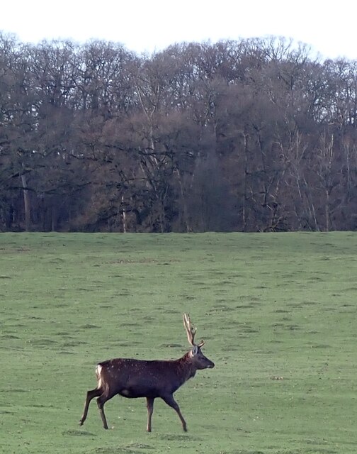
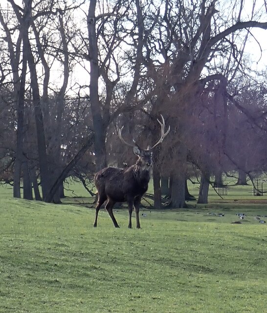
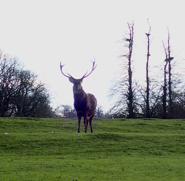
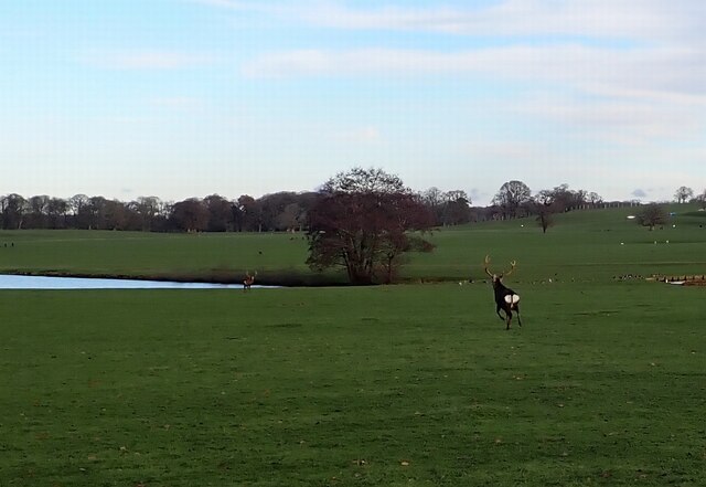
The forest is a popular destination for nature enthusiasts, hikers, and birdwatchers due to its scenic beauty and abundance of wildlife. The woodland is home to a wide range of bird species, including woodpeckers, owls, and various songbirds. Visitors may also have the opportunity to spot other wildlife such as deer, foxes, and squirrels.
Cowhill Belt offers a network of well-maintained walking trails, allowing visitors to explore the forest and enjoy its natural surroundings. These trails provide access to different parts of the woodland, each offering unique views and experiences. The forest also features picnic areas and benches, providing visitors with opportunities to relax and enjoy a meal amidst the tranquil setting.
The conservation of Cowhill Belt is of utmost importance, and efforts are made to preserve and protect the woodland's natural ecosystem. Local authorities and environmental organizations work together to ensure the sustainable management of the forest, promoting biodiversity and maintaining its ecological balance.
Overall, Cowhill Belt in Bedfordshire offers a serene and picturesque woodland experience, providing visitors with the chance to immerse themselves in nature and enjoy the beauty of this natural treasure.
If you have any feedback on the listing, please let us know in the comments section below.
Cowhill Belt Images
Images are sourced within 2km of 51.987479/-0.61591643 or Grid Reference SP9533. Thanks to Geograph Open Source API. All images are credited.

Cowhill Belt is located at Grid Ref: SP9533 (Lat: 51.987479, Lng: -0.61591643)
Unitary Authority: Central Bedfordshire
Police Authority: Bedfordshire
What 3 Words
///reduction.played.guarded. Near Woburn, Bedfordshire
Related Wikis

Woburn Rural District
Woburn was a rural district in Bedfordshire, England from 1894 to 1900, covering Woburn and surrounding parishes. The district had its origins in the Woburn...
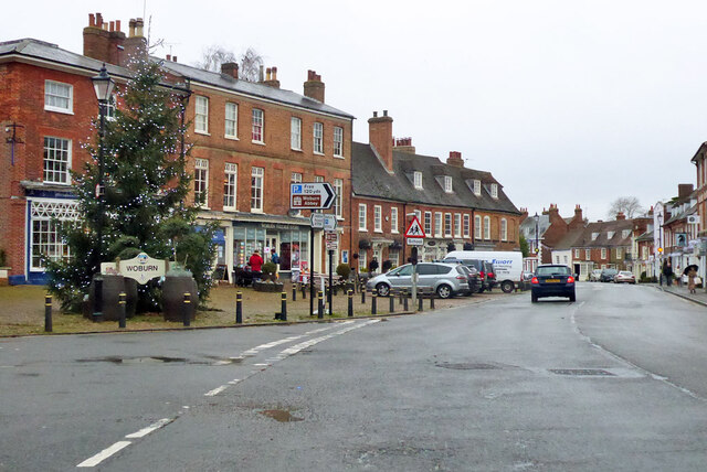
Woburn, Bedfordshire
Woburn (, meaning twisted or crooked stream) is a town and civil parish in Bedfordshire, England, about 5 miles (8 km) southeast of Milton Keynes and 3...

Woburn Town Hall
Woburn Town Hall is a municipal building in the Market Place, Woburn, Bedfordshire, England. The town hall, which has largely been converted for retail...
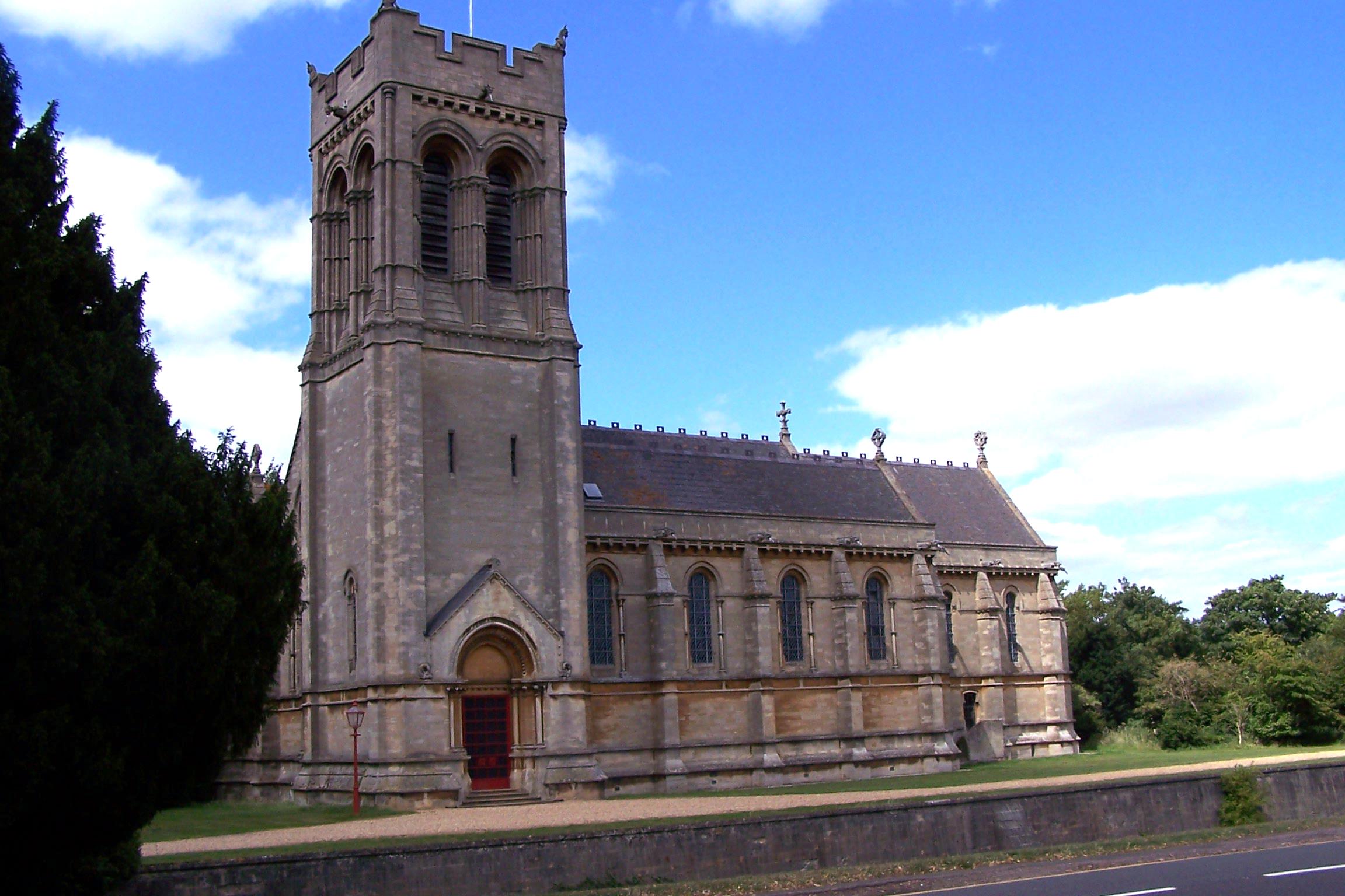
St Mary's Church, Woburn
St Mary's Church, Woburn, is a Grade II* listed parish church in the Church of England: 164 in Woburn, Bedfordshire. == History == The church, on Park...

Woburn Cottage Hospital
Woburn Cottage Hospital was a hospital in Woburn, Bedfordshire, England. == History == Mary, the Duchess of Bedford (1865–1937) developed an interest in...

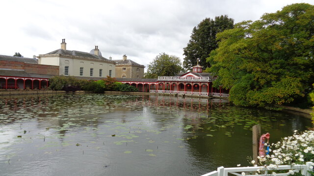
Woburn Abbey
Woburn Abbey (), occupying the east of the village of Woburn, Bedfordshire, England, is a country house, the family seat of the Duke of Bedford. Although...
Wavendon Heath Ponds
Wavendon Heath Ponds is a 4.7-hectare (12-acre) biological Site of Special Scientific Interest in Aspley Heath in Bedfordshire. It was notified in 1986...
Froxfield, Bedfordshire
Froxfield is a small hamlet in Bedfordshire, England. == References == The geographic coordinates are from the Ordnance Survey.
Related Videos
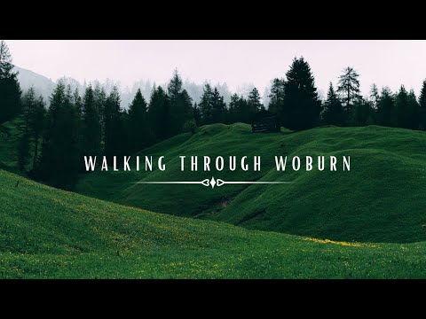
💕Walking through the WOBURN ABBEY deer park #traveldiariesmk4554
Woburn Abbey is a breathtaking stately home located in Bedfordshire, England. Steeped in history and surrounded by stunning ...

Walking around Woburn Safari Park
In this video you'll see some animals that we saw on a beautiful sunny day when we were walking around Woburn safari Park in ...

Nearby Amenities
Located within 500m of 51.987479,-0.61591643Have you been to Cowhill Belt?
Leave your review of Cowhill Belt below (or comments, questions and feedback).