Ash Plantation

Wood, Forest in Lincolnshire South Kesteven

England

Ash Plantation

Entrance to Heath Lane track At the edge of RAF Barkston Heath. The track leads down to Barkston in the Witham valley
Entrance to Heath Lane track Credit: Tim Heaton

Ash Plantation is a woodland area located in Lincolnshire, England. Covering an area of approximately 100 acres, it is characterized by its dense growth of ash trees, thus giving it its name. The plantation is situated in a rural setting, surrounded by rolling countryside and farmland.

The woodland is well-maintained and managed by the local forestry authority. It is a popular destination for nature enthusiasts, walkers, and birdwatchers due to its rich biodiversity. The ash trees dominate the landscape, creating a dense canopy that provides shade and shelter for a variety of plant and animal species.

Within the plantation, there are several well-defined walking trails that allow visitors to explore the area and appreciate its natural beauty. These paths are well-maintained and clearly signposted, making it easy for visitors to navigate through the woodland.

The woodland is also home to a diverse range of wildlife. Bird species such as woodpeckers, tits, and thrushes can be spotted throughout the year, while mammals like squirrels, rabbits, and foxes are also commonly seen. The undergrowth of the plantation is filled with a variety of wildflowers, ferns, and mosses, adding to its overall charm.

Ash Plantation offers a tranquil and peaceful environment, away from the hustle and bustle of urban life. It provides a perfect escape for those seeking solace in nature, whether it be for a leisurely stroll, wildlife photography, or simply to enjoy the serenity that the woodland offers.

If you have any feedback on the listing, please let us know in the comments section below.

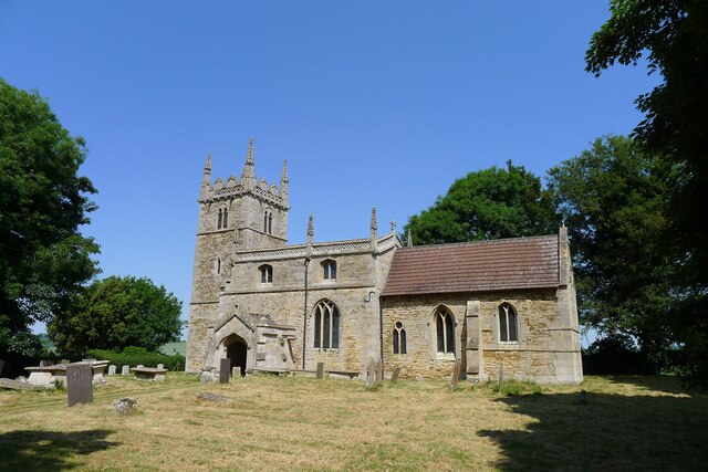
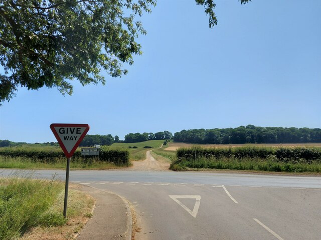
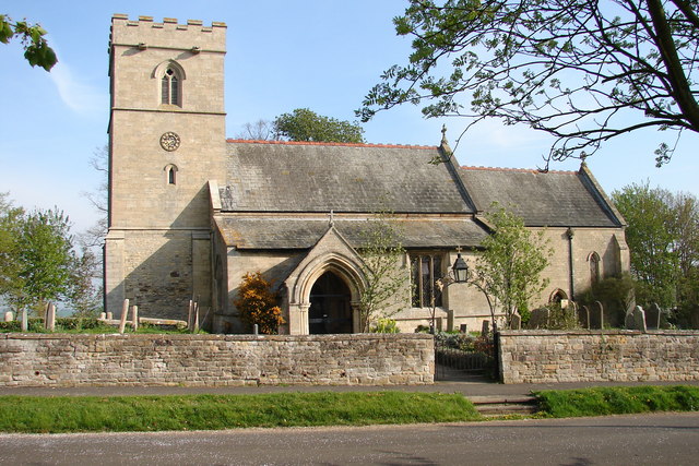
Ash Plantation Images

Images are sourced within 2km of 52.973758/-0.58515094 or Grid Reference SK9542. Thanks to Geograph Open Source API. All images are credited.

Entrance to Heath Lane track At the edge of RAF Barkston Heath. The track leads down to Barkston in the Witham valley
Entrance to Heath Lane track
At the edge of RAF Barkston Heath. The track leads down to Barkston in the Witham valley
Heath Lane The belt of trees on the horizon, Minnets Wood, sits on the top of the escarpment overlooking the Witham valley
Heath Lane
The belt of trees on the horizon, Minnets Wood, sits on the top of the escarpment overlooking the Witham valley
Heath Lane approaching Minnet's Wood Running towards the edge of the escarpment of Jurassic Lincolnshire Limestone
Heath Lane approaching Minnet's Wood
Running towards the edge of the escarpment of Jurassic Lincolnshire Limestone
North Lodge at the top of Minnett's Hill Once part of the former Syston Park estate. The hill drops down the Jurassic limestone escarpment towards the River Witham.
North Lodge at the top of Minnett's Hill
Once part of the former Syston Park estate. The hill drops down the Jurassic limestone escarpment towards the River Witham.
Restricted byway along the boundary of RAF Barkston Heath
Junction of bridleway and restricted byway at the edge of RAF Barkston Heath The bridleway runs between the two hedges, and the junction is shifted slightly from the position shown on the OS map.
Junction of bridleway and restricted byway at the edge of RAF Barkston Heath
The bridleway runs between the two hedges, and the junction is shifted slightly from the position shown on the OS map.
Bridleway by a field of oats The bridleway leads towards Honington
Bridleway by a field of oats
The bridleway leads towards Honington
Honington Camp hill fort Part of the defensive earth banks of an Iron Age hill fort or settlement <span class="nowrap"><a title="https://heritage-explorer.lincolnshire.gov.uk/Monument/MLI30366" rel="nofollow ugc noopener" href="https://heritage-explorer.lincolnshire.gov.uk/Monument/MLI30366">Link</a><img style="margin-left:2px;" alt="External link" title="External link - shift click to open in new window" src="https://s1.geograph.org.uk/img/external.png" width="10" height="10"/></span> <span class="nowrap"><a title="http://www.stone-circles.org.uk/stone/honington.htm" rel="nofollow ugc noopener" href="http://www.stone-circles.org.uk/stone/honington.htm">Link</a><img style="margin-left:2px;" alt="External link" title="External link - shift click to open in new window" src="https://s1.geograph.org.uk/img/external.png" width="10" height="10"/></span> . It sits close to the top of the Jurassic limestone escarpment overlooking the Witham valley and Vale of Belvoir.
Honington Camp hill fort
Part of the defensive earth banks of an Iron Age hill fort or settlement LinkExternal link LinkExternal link . It sits close to the top of the Jurassic limestone escarpment overlooking the Witham valley and Vale of Belvoir.
Hough Lane Level Crossing Crossing the 'Poacher Line' running from Grantham to Skegness via Sleaford and Boston. The crossing is signed Hough Lane, OS map calls this Hough Road
Hough Lane Level Crossing
Crossing the 'Poacher Line' running from Grantham to Skegness via Sleaford and Boston. The crossing is signed Hough Lane, OS map calls this Hough Road
Church of St Wilfred, Honington Listed Grade I, from the 11th century.
Church of St Wilfred, Honington
Listed Grade I, from the 11th century.
Main Street leaving the south side of Honington
Main Street, Honington, joining the A607 Across the road a Restricted Byway, Heath Lane, climbs up the escarpment of  Lincolnshire limestone known as the 'Lincoln Cliff'
Main Street, Honington, joining the A607
Across the road a Restricted Byway, Heath Lane, climbs up the escarpment of Lincolnshire limestone known as the 'Lincoln Cliff'
Heath Lane running down to Honington View west from the limestone escarpment of the 'Lincoln Cliff'
Heath Lane running down to Honington
View west from the limestone escarpment of the 'Lincoln Cliff'
View north-east from Heath Lane Looking along the shallow limestone escarpment known as the 'Lincoln Cliff'
View north-east from Heath Lane
Looking along the shallow limestone escarpment known as the 'Lincoln Cliff'
Sheepcote House West Willoughby A gap in the hedge to the left of the gate holds a Listed Grade II war memorial. Details at <span class="nowrap"><a title="https://heritage-explorer.lincolnshire.gov.uk/Monument/MLI125334" rel="nofollow ugc noopener" href="https://heritage-explorer.lincolnshire.gov.uk/Monument/MLI125334">Link</a><img style="margin-left:2px;" alt="External link" title="External link - shift click to open in new window" src="https://s1.geograph.org.uk/img/external.png" width="10" height="10"/></span>
Sheepcote House West Willoughby
A gap in the hedge to the left of the gate holds a Listed Grade II war memorial. Details at LinkExternal link
The A153 through West Willoughby Centrebus bus route 27, Sleaford to Grantham
The A153 through West Willoughby
Centrebus bus route 27, Sleaford to Grantham
St.Wilfrid's church, Honington, Lincs. A hidden gem tucked away behind the former vicarage and approached through the garden. A fine Norman nave and Early English chancel and tower, fine furnishings and Monuments to the Hussey family.
St.Wilfrid's church, Honington, Lincs.
A hidden gem tucked away behind the former vicarage and approached through the garden. A fine Norman nave and Early English chancel and tower, fine furnishings and Monuments to the Hussey family.
Honington Church
Honington Church
Show me another place!

Ash Plantation is located at Grid Ref: SK9542 (Lat: 52.973758, Lng: -0.58515094)

Administrative County: Lincolnshire

District: South Kesteven

Police Authority: Lincolnshire

What 3 Words

///studio.customers.journey. Near Ancaster, Lincolnshire

Related Wikis

Honington, Lincolnshire

Honington is an English village and civil parish in the South Kesteven district of Lincolnshire. It lies just north of the junction between the A153 and...

Honington railway station

Honington railway station was a station in the village of Honington, Lincolnshire. It was located on junction with the line Grantham and Lincoln railway...

RAF Barkston Heath

Royal Air Force Barkston Heath or RAF Barkston Heath (ICAO: EGYE) is a Royal Air Force Relief Landing Ground under the command of RAF Cranwell near Grantham...

Carlton Scroop

Carlton Scroop is a small village and civil parish in the South Kesteven district of Lincolnshire, England. The population of the civil parish (including...

Barkston

Barkston is an English village and civil parish in the South Kesteven district of Lincolnshire. The parish population was 497 at the 2001 census and 493...

Sudbrook, Lincolnshire

Sudbrook is a hamlet in the South Kesteven district of Lincolnshire, England. It is situated 12 miles (19 km) south-east of Newark-on-Trent, 6 miles (10...

Syston, Lincolnshire

Syston is a village and civil parish in the South Kesteven district of Lincolnshire, England. The population of the civil parish was 162 at the 2011 census...

Ancaster, Lincolnshire

Ancaster is a village and civil parish in the South Kesteven district of Lincolnshire, England, on the site of a Roman town. The population of the civil...

Nearby Amenities

Located within 500m of 52.973758,-0.58515094
Honington Heath
Place: locality
Source: Bing
Lat/Long: 52.9717298/-0.5807788
The data included in this document is from www.openstreetmap.org. The data is made available under ODbL.

Have you been to Ash Plantation?

Leave your review of Ash Plantation below (or comments, questions and feedback).