Osier Holt
Wood, Forest in Lincolnshire North Kesteven
England
Osier Holt
Osier Holt is a small village located in the county of Lincolnshire, England. It is situated in a rural area known for its woodlands and forests, hence the name "Wood" or "Forest" in its local name. The village is surrounded by picturesque landscapes and offers a peaceful and serene atmosphere.
The village itself is relatively small, with a population of around 300 residents. It has a close-knit community and a strong sense of community spirit. The main focal point of the village is the village green, which serves as a gathering place for locals and hosts various events throughout the year.
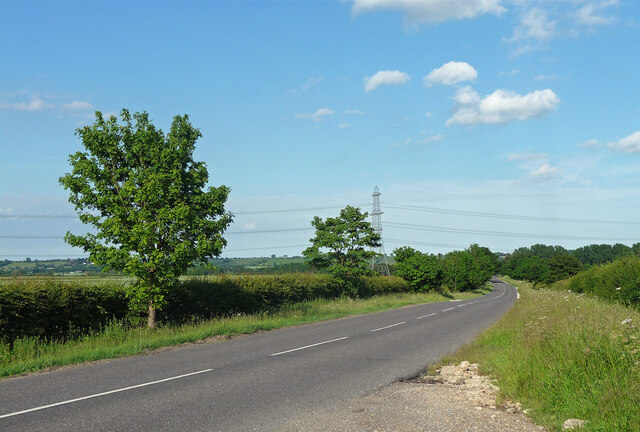
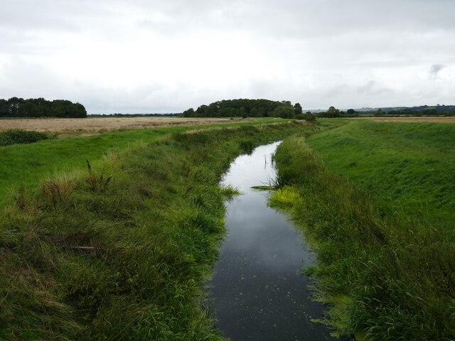
Osier Holt is known for its natural beauty and is popular among nature enthusiasts and hikers. The nearby woodlands provide ample opportunities for outdoor activities such as walking, cycling, and birdwatching. The area is home to a diverse range of wildlife, including deer, foxes, and various bird species.
The village also has a rich history, with some buildings dating back several centuries. The local church, St. Mary's, is a notable landmark and showcases beautiful architecture from different periods. The village is also known for its traditional thatched cottages, which add to its charm and character.
While Osier Holt may be a small village, it offers a peaceful and idyllic lifestyle for its residents. Its natural surroundings and strong sense of community make it an attractive destination for those seeking a quieter way of life.
If you have any feedback on the listing, please let us know in the comments section below.
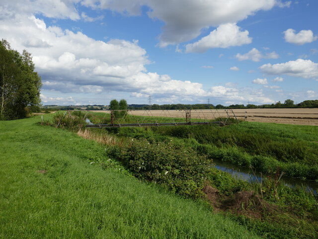
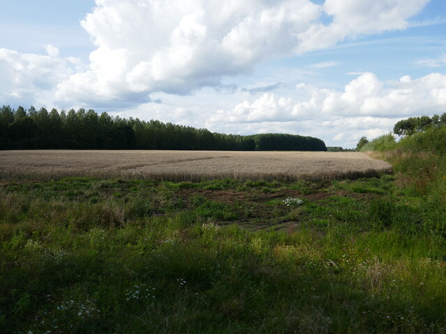
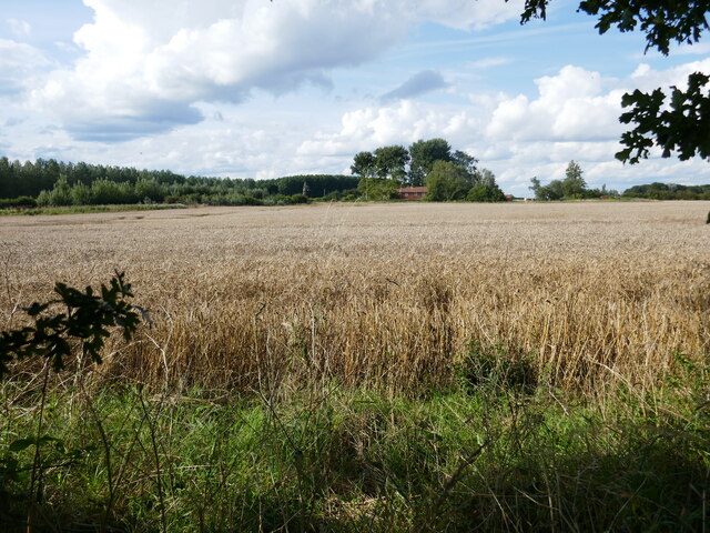
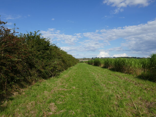
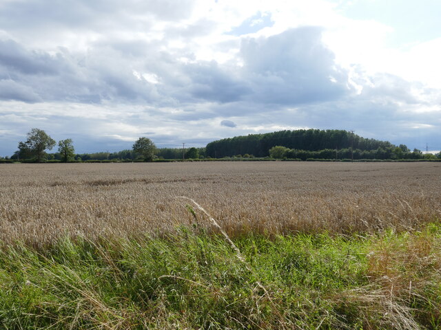
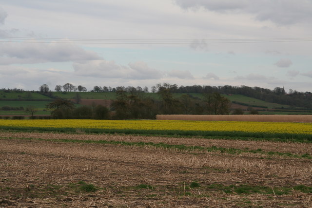
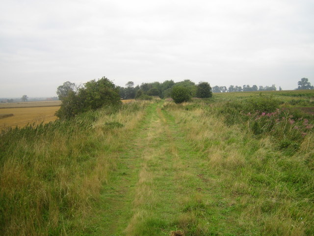
Osier Holt Images
Images are sourced within 2km of 53.157925/-0.57928254 or Grid Reference SK9563. Thanks to Geograph Open Source API. All images are credited.


Osier Holt is located at Grid Ref: SK9563 (Lat: 53.157925, Lng: -0.57928254)
Administrative County: Lincolnshire
District: North Kesteven
Police Authority: Lincolnshire
What 3 Words
///mows.total.cuter. Near Waddington, Lincolnshire
Nearby Locations
Related Wikis

River Brant
The River Brant is a 14 mi-long (23 km) tributary of the River Witham that flows entirely in the county of Lincolnshire, in the east of England. In 1855...
Harmston railway station
Harmston railway station was a station in Harmston, Lincolnshire on the Grantham and Lincoln railway line. It closed in 1962 but the line remained open...

South Hykeham
South Hykeham is a village and civil parish in the North Kesteven district of Lincolnshire, England. The population of the civil parish at the 2011 census...

Aubourn Haddington and South Hykeham
Aubourn Haddington and South Hykeham was a former civil parish in the North Kesteven district of Lincolnshire, England. According to the 2001 census it...
Nearby Amenities
Located within 500m of 53.157925,-0.57928254Have you been to Osier Holt?
Leave your review of Osier Holt below (or comments, questions and feedback).