Hanoverhill Plantation
Wood, Forest in Lincolnshire West Lindsey
England
Hanoverhill Plantation

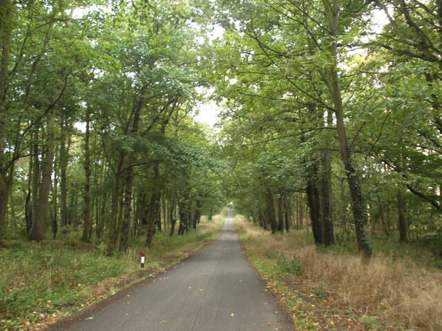
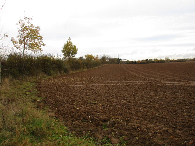
Hanoverhill Plantation is a picturesque woodland located in Lincolnshire, England. This sprawling forest covers acres of land and is home to a diverse range of plant and animal species. The plantation is known for its dense canopy of trees, including oak, beech, and pine, which provide a habitat for various birds and wildlife.
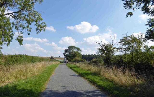
Visitors to Hanoverhill Plantation can enjoy peaceful walks along the well-maintained trails that wind through the forest, offering stunning views of the surrounding countryside. The plantation is also a popular spot for birdwatching, with sightings of species such as woodpeckers, owls, and red kites being common.
History buffs will appreciate the rich heritage of Hanoverhill Plantation, with evidence of ancient settlements and farming practices dating back centuries. The plantation is also home to several historic landmarks, including the ruins of an old hunting lodge and a Victorian-era folly.
Overall, Hanoverhill Plantation is a tranquil and beautiful destination for nature lovers and outdoor enthusiasts to explore and appreciate the natural beauty of the Lincolnshire countryside.
If you have any feedback on the listing, please let us know in the comments section below.
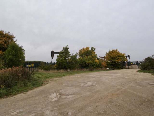
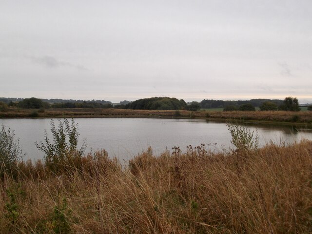
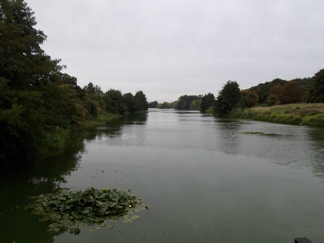
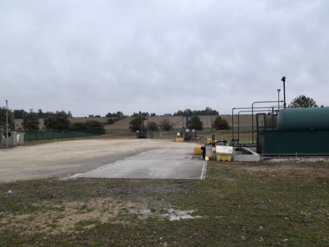
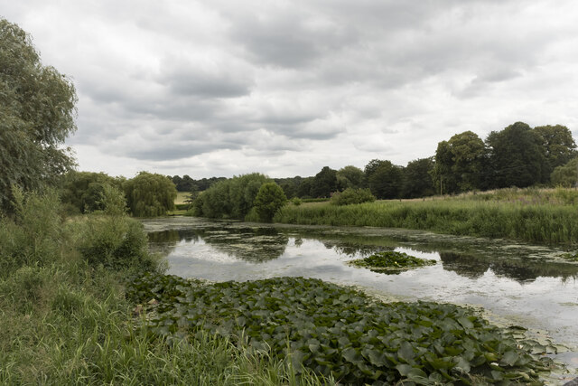
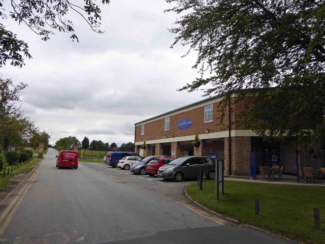
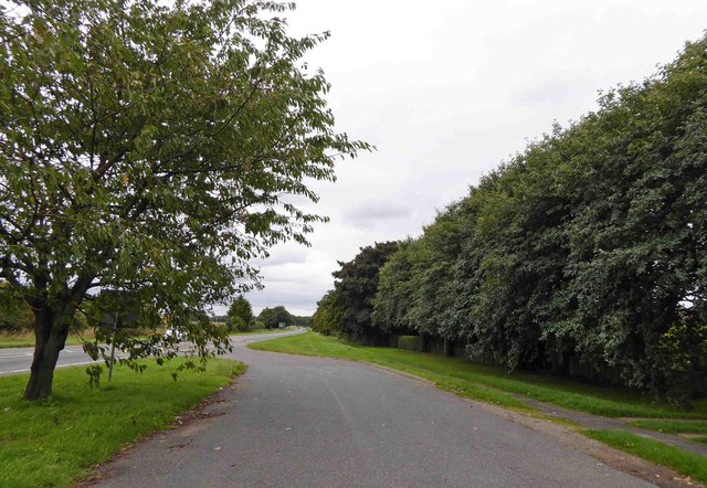
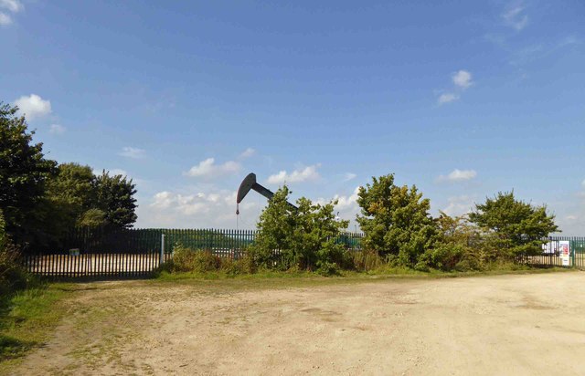
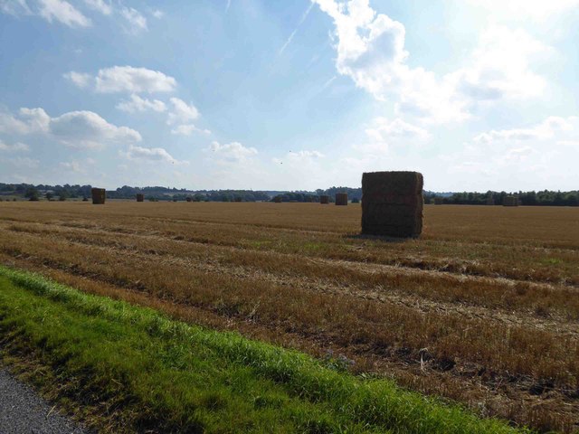
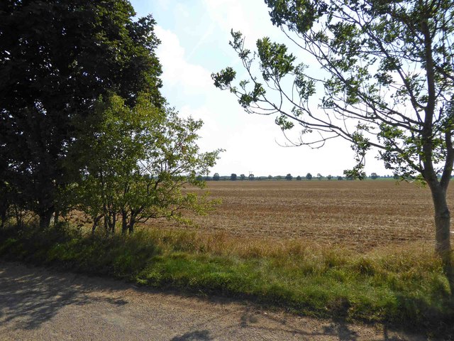
Hanoverhill Plantation Images
Images are sourced within 2km of 53.380052/-0.57358377 or Grid Reference SK9487. Thanks to Geograph Open Source API. All images are credited.


Hanoverhill Plantation is located at Grid Ref: SK9487 (Lat: 53.380052, Lng: -0.57358377)
Administrative County: Lincolnshire
District: West Lindsey
Police Authority: Lincolnshire
What 3 Words
///timer.slab.deadline. Near Willingham, Lincolnshire
Nearby Locations
Related Wikis
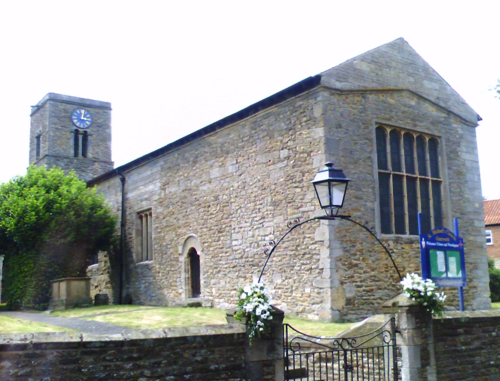
Glentworth, Lincolnshire
Glentworth is a village and civil parish in the West Lindsey district of Lincolnshire, England. The population of the parish (including Caenby Corner)...

Hemswell Cliff
Hemswell Cliff is a village and civil parish in the West Lindsey district of Lincolnshire, England. It is situated on the A631 road between Caenby Corner...
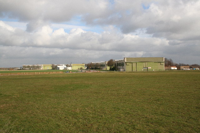
RAF Hemswell
Royal Air Force Hemswell or more simply RAF Hemswell is a former Royal Air Force (RAF) station located 7.8 miles (12.6 km) east of Gainsborough, Lincolnshire...

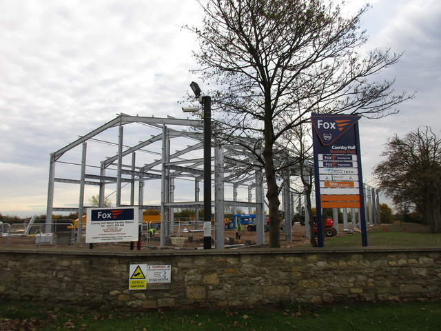
Caenby Corner
Caenby Corner is a small area in the West Lindsey district of Lincolnshire, England, at the roundabout junction of the A15 and A631 roads. Close to the...
Nearby Amenities
Located within 500m of 53.380052,-0.57358377Have you been to Hanoverhill Plantation?
Leave your review of Hanoverhill Plantation below (or comments, questions and feedback).