Farmstead Plantation
Wood, Forest in Lincolnshire South Kesteven
England
Farmstead Plantation

Farmstead Plantation is a picturesque and charming rural property located in the heart of Lincolnshire, England. Situated amidst lush woodlands and enchanting forests, this plantation offers a serene and tranquil retreat for nature enthusiasts and those seeking a peaceful countryside experience.
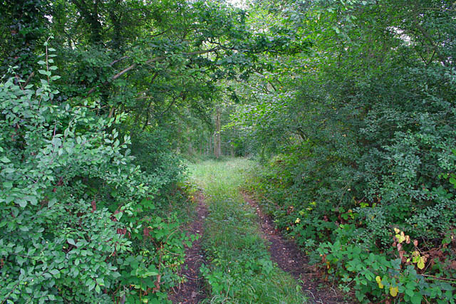
Covering a vast area, Farmstead Plantation is home to a diverse range of flora and fauna. The plantation's woodlands are filled with majestic oak, birch, and beech trees, providing a beautiful canopy that shelters an array of wildlife. Exploring the forested areas, visitors may spot deer, foxes, and a wide variety of bird species.
The plantation features well-maintained walking trails and paths, allowing visitors to fully immerse themselves in the natural beauty of the surroundings. As they wander through the woodlands, visitors can admire the vibrant colors of wildflowers and experience the peaceful sounds of nature.
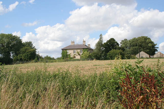
In addition to its natural splendor, Farmstead Plantation also offers a range of activities for visitors. The property features a charming farmhouse that has been converted into a cozy bed and breakfast, where guests can enjoy a comfortable stay while being surrounded by the tranquility of the plantation.
For those interested in agriculture, Farmstead Plantation boasts a working farm that showcases traditional farming methods. Visitors can observe the daily activities of the farm, including tending to livestock and cultivating crops.
Overall, Farmstead Plantation is a true gem of Lincolnshire, offering a perfect blend of natural beauty, relaxation, and agricultural experiences. Whether exploring the woodlands or enjoying a peaceful stay at the farmhouse, visitors are sure to be captivated by the charm and serenity of this idyllic plantation.
If you have any feedback on the listing, please let us know in the comments section below.
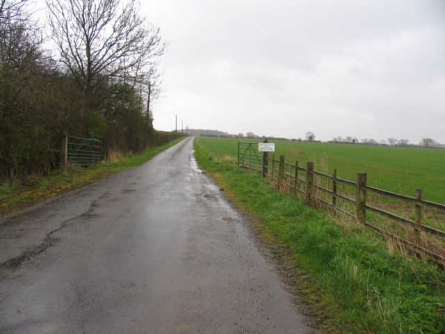
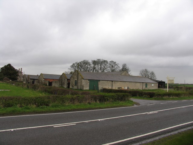
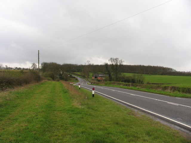
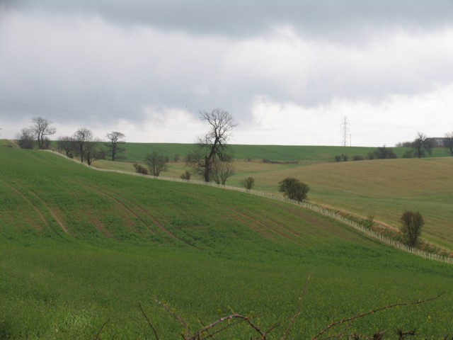
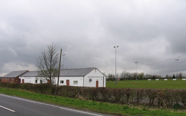
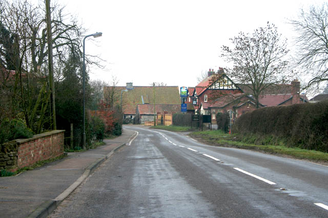
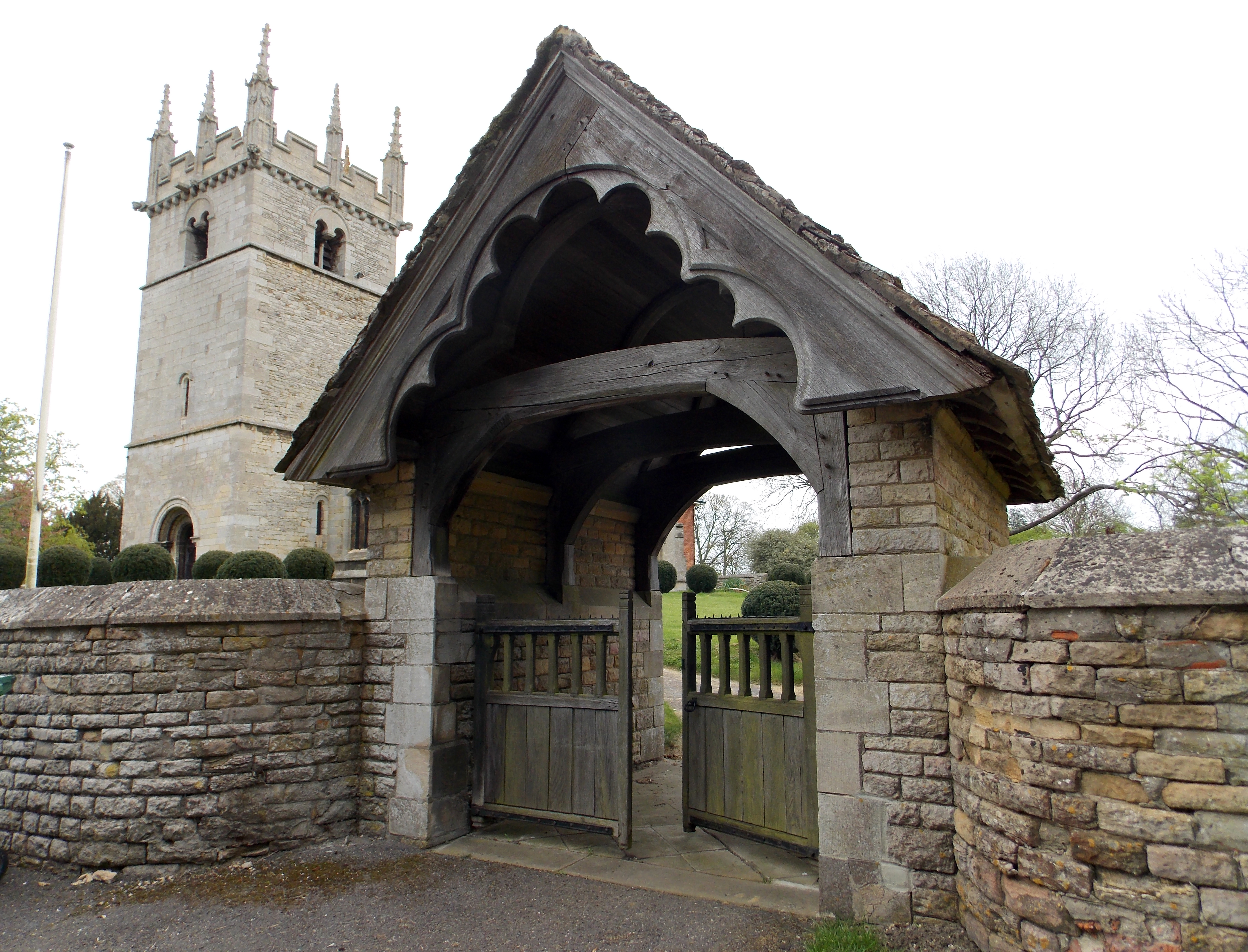
Farmstead Plantation Images
Images are sourced within 2km of 52.875257/-0.59067647 or Grid Reference SK9431. Thanks to Geograph Open Source API. All images are credited.


Farmstead Plantation is located at Grid Ref: SK9431 (Lat: 52.875257, Lng: -0.59067647)
Administrative County: Lincolnshire
District: South Kesteven
Police Authority: Lincolnshire
What 3 Words
///cheer.grow.heats. Near Grantham, Lincolnshire
Nearby Locations
Related Wikis
Old Somerby
Old Somerby (pronounced Summerby) is a village and civil parish in the South Kesteven district of Lincolnshire, England, 3 miles (5 km) south-east of Grantham...

Great Ponton railway station
Great Ponton railway station was a station on the East Coast Main Line at Great Ponton, Lincolnshire, England. The Great Northern Railway opened it in...
Boothby Pagnell
Boothby Pagnell is a village and civil parish in the South Kesteven district of Lincolnshire, England. The population is now included in the civil parish...

Little Ponton
Little Ponton is a village in the South Kesteven district of Lincolnshire, England. It lies 2 miles (3 km) south of Grantham, about 60 metres (200 ft)...

Ellys Manor House
Ellys Manor House (pronounced "Ellis"), or the Old Rectory is a late-fifteenth to early sixteenth century manor house in Great Ponton, Lincolnshire, England...

Grantham Rural District
Grantham was a rural district in Lincolnshire, Parts of Kesteven from 1894 to 1931. It was created by the Local Government Act 1894 based on the Grantham...

Great Ponton
Great Ponton is an English village and civil parish in the South Kesteven district of Lincolnshire, 3 miles (5 km) south of Grantham on the A1 trunk road...

Little Ponton and Stroxton
Little Ponton and Stroxton is a civil parish in the South Kesteven district of Lincolnshire, England. According to the 2001 Census it had a population...
Nearby Amenities
Located within 500m of 52.875257,-0.59067647Have you been to Farmstead Plantation?
Leave your review of Farmstead Plantation below (or comments, questions and feedback).