Japanese Spinney

Wood, Forest in Northamptonshire

England

Japanese Spinney

A14 eastbound at A510 on-slip
A14 eastbound at A510 on-slip Credit: Colin Pyle

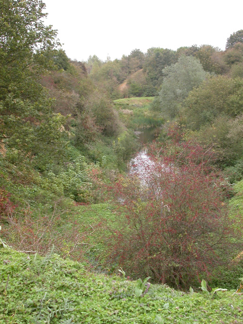
Japanese Spinney is a small woodland located in the county of Northamptonshire, England. Situated near the town of Northampton, this picturesque woodland is known for its unique Japanese-inspired design and tranquil atmosphere.

Covering an area of approximately 10 acres, Japanese Spinney is characterized by its carefully planned layout, featuring various Japanese horticultural elements. These include traditional Japanese plants such as cherry blossom trees, Japanese maples, and bamboo groves, which create a serene and peaceful environment. The woodland also incorporates traditional Japanese garden features like stone lanterns, wooden bridges, and a small pond with koi fish, adding to its authentic charm.

The woodland is a popular destination for nature enthusiasts, families, and those seeking a peaceful retreat. Visitors can enjoy leisurely walks along the well-maintained pathways that wind through the woodland, allowing them to fully immerse themselves in the beauty and tranquility of the surroundings.

Japanese Spinney is also home to various wildlife species, including birds, butterflies, and small mammals. Birdwatchers often visit the woodland to observe and identify the diverse avian population that resides there.

The woodland is easily accessible, with a small car park located nearby, and it is open to the public throughout the year. Visitors are encouraged to respect the natural environment and adhere to any rules or guidelines in place to ensure the preservation of this unique woodland setting.

If you have any feedback on the listing, please let us know in the comments section below.

Japanese Spinney Images

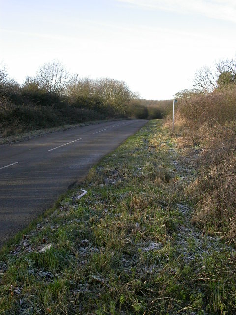
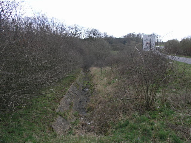
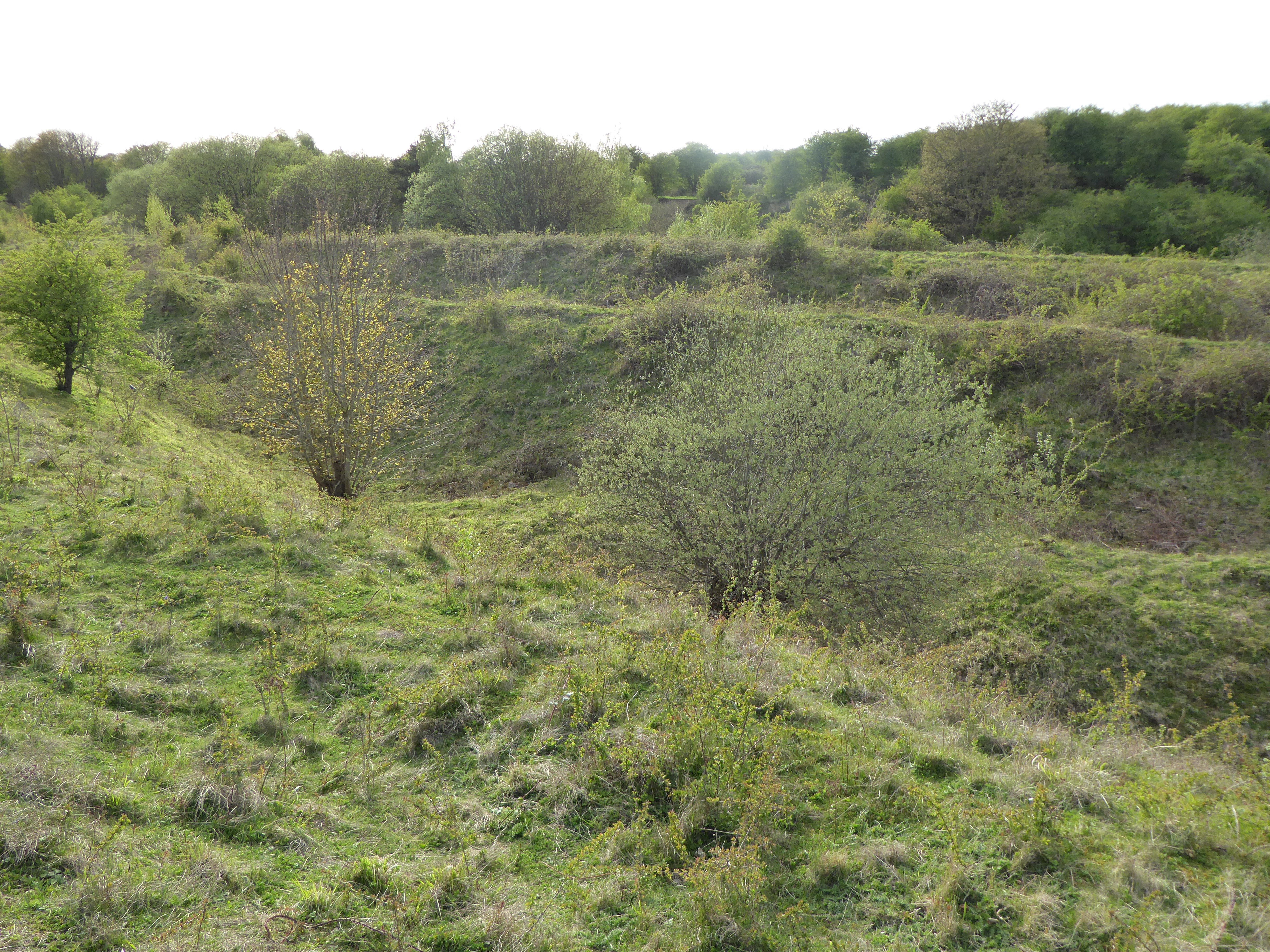
Images are sourced within 2km of 52.384924/-0.60939841 or Grid Reference SP9477. Thanks to Geograph Open Source API. All images are credited.

A14 eastbound at A510 on-slip
Great Addington Farmland Off Cranford Road.
Great Addington Farmland
Off Cranford Road.
A14 Junction signage
A14 lay-by signage
A14 lay-by signage
A14 footbridge
A14 footbridge
A14 lay-by
A14 lay-by
Roundabout at the end of Thrapston Road, Cranford St John Only giving access to the A14.
Roundabout at the end of Thrapston Road, Cranford St John
Only giving access to the A14.
Lorry parked on the A14 near Woodford
Layby on the A14 near Woodford
The A14 near Woodford The A14 is a major road which runs for 129 miles from the Port of Felixstowe to the Catthorpe Interchange, the junction of the M1 and M6 motorways near Rugby.

The route linking Rugby (and therefore the West Midlands and the north of England via the motorway network) to East Anglia and the ports of Felixstowe and Harwich is incredibly important and incredibly busy (Felixstowe is the UK's principal container port and the A14 is the road between Felixstowe and everywhere else) but it didn't exist in any coherent form until about 1992.

Prior to the current A14 the main route from Birmingham to the Haven ports followed the old A45 road via Coventry, Rugby, Northampton, St Neots, Cambridge and then through all the towns on the A14, from there to Ipswich where it ended on the A12 – not the fast route required for transporting goods across the country with the sudden rise in container shipping during the latter part of the twentieth century.

Most of the current A14 route is a collection of bits of dual carriageway acquired from other roads (most notably the A45) with occasional stretches of new road to bolt it all together. Because of its importance to the country’s economy, there are plans to upgrade it further.

Prior to its use for the current route the A14 designation had been used for a section of road between the A10 at Royston and the A1 at Alconbury following part of the route of the Roman road, Ermine Street, which is now mostly designated as the A1198. The only bit of the current A14 that follows that number's original route is the spur linking junction 23 to the A1.

<span class="nowrap"><a title="http://www.cbrd.co.uk/motorway/a14" rel="nofollow ugc noopener" href="http://www.cbrd.co.uk/motorway/a14">Link</a><img style="margin-left:2px;" alt="External link" title="External link - shift click to open in new window" src="https://s1.geograph.org.uk/img/external.png" width="10" height="10"/></span> Chris's British Road Directory
<span class="nowrap"><a title="http://en.wikipedia.org/wiki/A14_road_(England)" rel="nofollow ugc noopener" href="http://en.wikipedia.org/wiki/A14_road_(England)">Link</a><img style="margin-left:2px;" alt="External link" title="External link - shift click to open in new window" src="https://s1.geograph.org.uk/img/external.png" width="10" height="10"/></span>  Wikipedia
The A14 near Woodford
The A14 is a major road which runs for 129 miles from the Port of Felixstowe to the Catthorpe Interchange, the junction of the M1 and M6 motorways near Rugby. The route linking Rugby (and therefore the West Midlands and the north of England via the motorway network) to East Anglia and the ports of Felixstowe and Harwich is incredibly important and incredibly busy (Felixstowe is the UK's principal container port and the A14 is the road between Felixstowe and everywhere else) but it didn't exist in any coherent form until about 1992. Prior to the current A14 the main route from Birmingham to the Haven ports followed the old A45 road via Coventry, Rugby, Northampton, St Neots, Cambridge and then through all the towns on the A14, from there to Ipswich where it ended on the A12 – not the fast route required for transporting goods across the country with the sudden rise in container shipping during the latter part of the twentieth century. Most of the current A14 route is a collection of bits of dual carriageway acquired from other roads (most notably the A45) with occasional stretches of new road to bolt it all together. Because of its importance to the country’s economy, there are plans to upgrade it further. Prior to its use for the current route the A14 designation had been used for a section of road between the A10 at Royston and the A1 at Alconbury following part of the route of the Roman road, Ermine Street, which is now mostly designated as the A1198. The only bit of the current A14 that follows that number's original route is the spur linking junction 23 to the A1. LinkExternal link Chris's British Road Directory LinkExternal link Wikipedia
River Nene from Woodford Church Looking south over the river from Woodford Churchyard, at the extreme east of the grid square.
River Nene from Woodford Church
Looking south over the river from Woodford Churchyard, at the extreme east of the grid square.
Twywell Hills and Dales Part of Great Pond seen from Viewpoint.  The Park was established on the site of a disused ironstone quarry.
Twywell Hills and Dales
Part of Great Pond seen from Viewpoint. The Park was established on the site of a disused ironstone quarry.
The main street through Twywell Section shown runs North West to the edge of the Village.
The main street through Twywell
Section shown runs North West to the edge of the Village.
St Nicholas Church, Twywell C12th, originally a cross-shaped structure, spire collapsed in C17th.
St Nicholas Church, Twywell
C12th, originally a cross-shaped structure, spire collapsed in C17th.
Storage Silos and Barns At Woodford
Storage Silos and Barns
At Woodford
Pasture View towards a disused quarry.
Pasture
View towards a disused quarry.
Slipton Road Direction - view away from Slipton.
Slipton Road
Direction - view away from Slipton.
Deep Drainage Ditch This drainage ditch by the side of the A510 is lined with concrete slabs.
Deep Drainage Ditch
This drainage ditch by the side of the A510 is lined with concrete slabs.
Show me another place!

Japanese Spinney is located at Grid Ref: SP9477 (Lat: 52.384924, Lng: -0.60939841)

Unitary Authority: North Northamptonshire

Police Authority: Northamptonshire

What 3 Words

///teachers.promises.bolsters. Near Woodford, Northamptonshire

Nearby Locations

Japanese Spinney

Related Wikis

Twywell Gullet

Twywell Gullet is a 17.1-hectare (42-acre) biological Site of Special Scientific Interest east of Kettering in Northamptonshire. It is part of the 54.6...

Woodwell

Woodwell is a hamlet in the English county of Northamptonshire, about a mile west of the village of Woodford. It is at the end of a cul-de-sac lane....

Twywell

Twywell is an English village and civil parish in the county of Northamptonshire. Twywell Hills and Dales Country Park is adjacent. It lies just to the...

Twywell railway station

Twywell railway station served the village of Twywell, Northamptonshire, England, from 1866 to 1951 on the Kettering, Thrapston and Huntingdon Railway...

Nearby Amenities

Located within 500m of 52.384924,-0.60939841
Parking
Parking: layby
Lat/Long: 52.3884284/-0.6066249
The data included in this document is from www.openstreetmap.org. The data is made available under ODbL.

Have you been to Japanese Spinney?

Leave your review of Japanese Spinney below (or comments, questions and feedback).