East Winch
Settlement in Norfolk King's Lynn and West Norfolk
England
East Winch
East Winch is a small village located in the county of Norfolk, England. It is situated approximately 7 miles southeast of the town of King's Lynn. The village is surrounded by picturesque countryside, with rolling fields and charming woodland areas nearby.
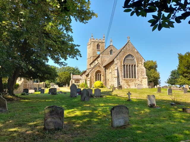
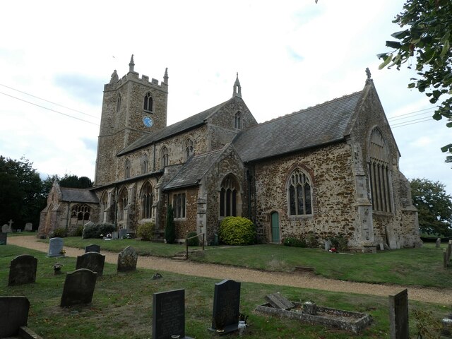
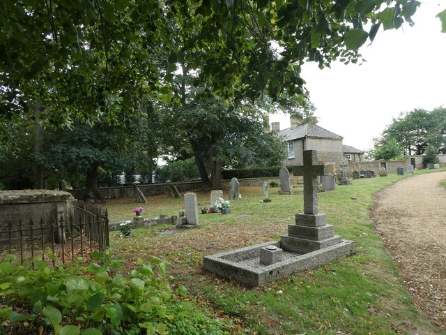
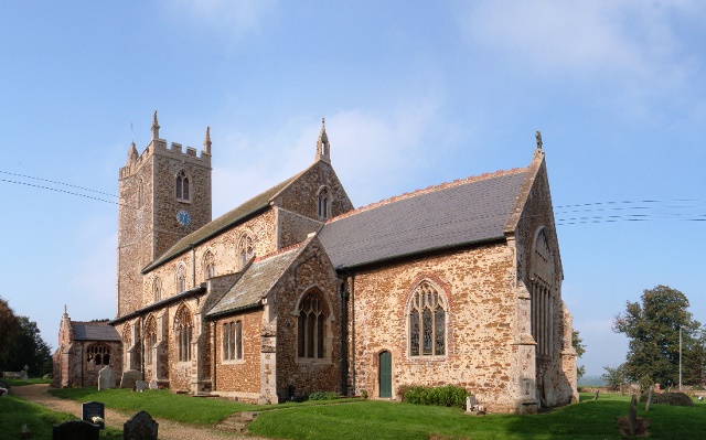
East Winch is known for its historic church, St. Cecilia's, which dates back to the 14th century and features stunning medieval architecture. The village also has a village hall, a pub, and a primary school, making it a tight-knit community with a strong sense of local pride.
The village is well-connected by road, with the A47 passing nearby, providing easy access to nearby towns and cities. The surrounding area offers plenty of opportunities for outdoor activities, such as walking, cycling, and birdwatching.
Overall, East Winch is a peaceful and idyllic village, perfect for those looking to escape the hustle and bustle of city life and enjoy the beauty of the Norfolk countryside.
If you have any feedback on the listing, please let us know in the comments section below.
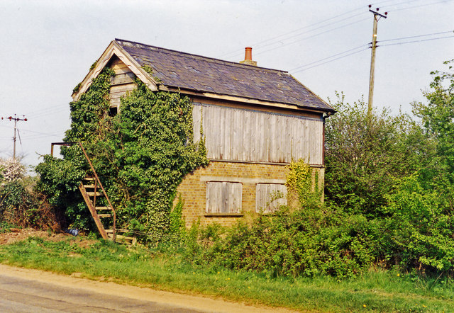
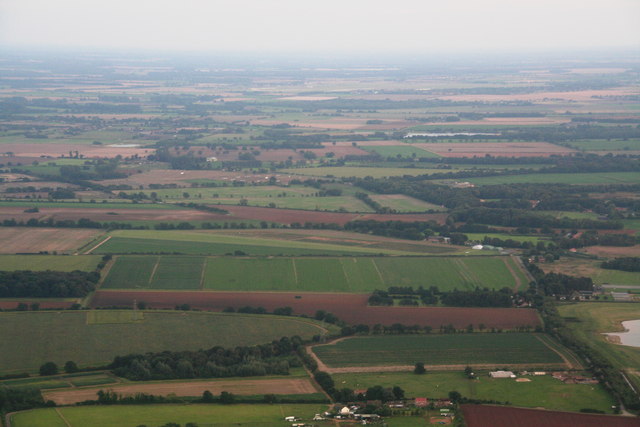
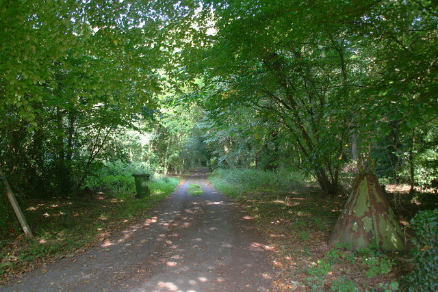
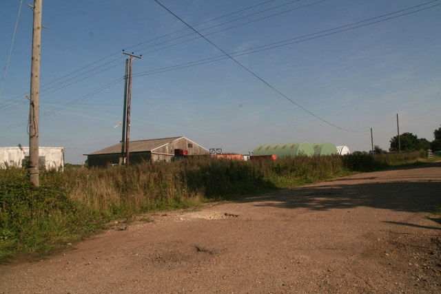
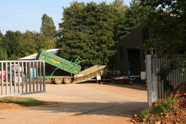
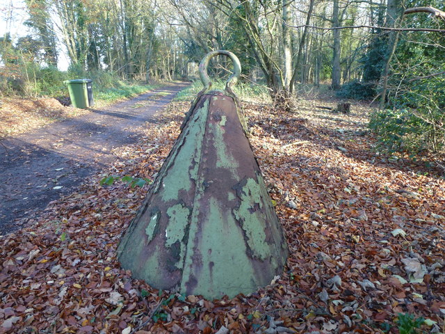
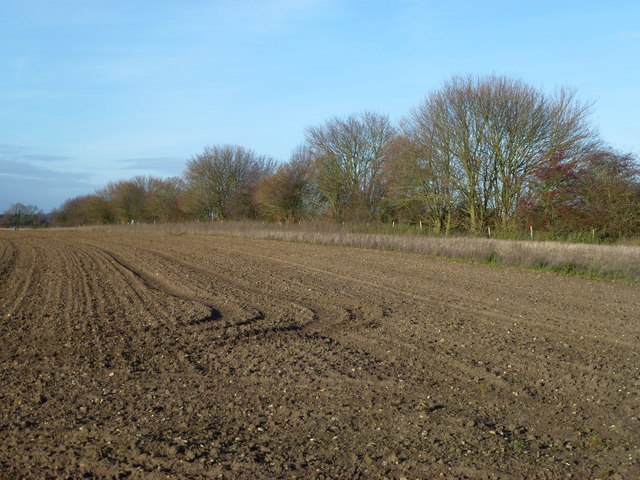
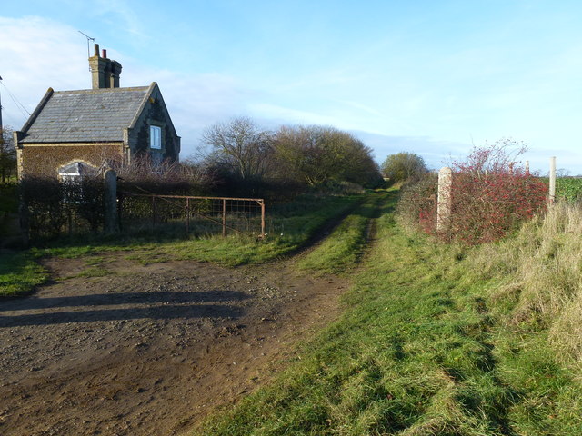
East Winch Images
Images are sourced within 2km of 52.719417/0.50473 or Grid Reference TF6916. Thanks to Geograph Open Source API. All images are credited.


East Winch is located at Grid Ref: TF6916 (Lat: 52.719417, Lng: 0.50473)
Administrative County: Norfolk
District: King's Lynn and West Norfolk
Police Authority: Norfolk
What 3 Words
///issuer.gold.pinging. Near Grimston, Norfolk
Nearby Locations
Related Wikis
East Winch
East Winch is a village and civil parish in the English county of Norfolk. The village is located 4.9 miles (7.9 km) south-east of King's Lynn and 34 miles...
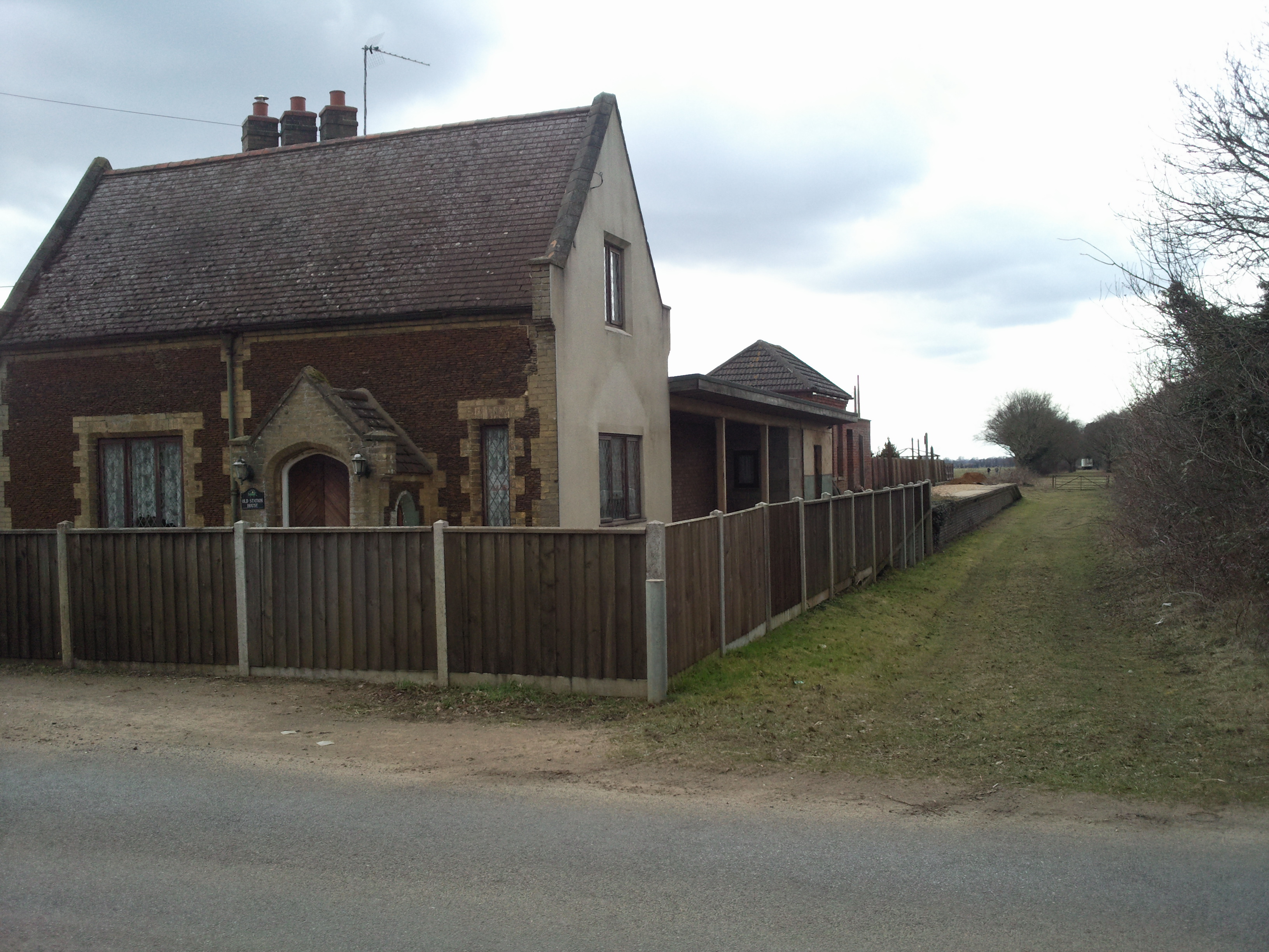
East Winch railway station
East Winch railway station was at East Winch, Norfolk, England on the line between King's Lynn and Swaffham. It closed in 1968. The signal box from the...
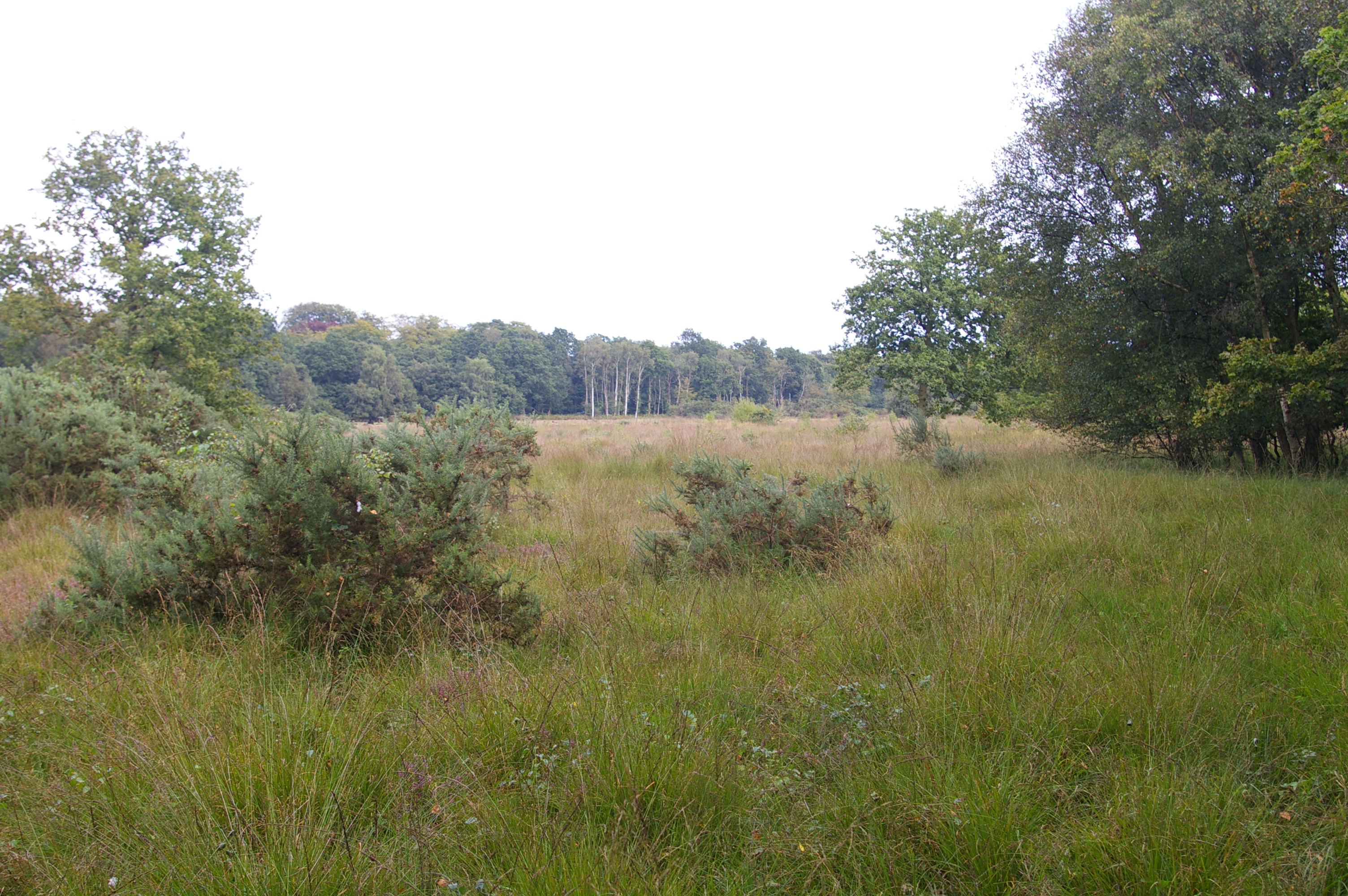
East Winch Common
East Winch Common is a 26.1-hectare (64-acre) biological Site of Special Scientific Interest south-east of King's Lynn in Norfolk. It is common land and...
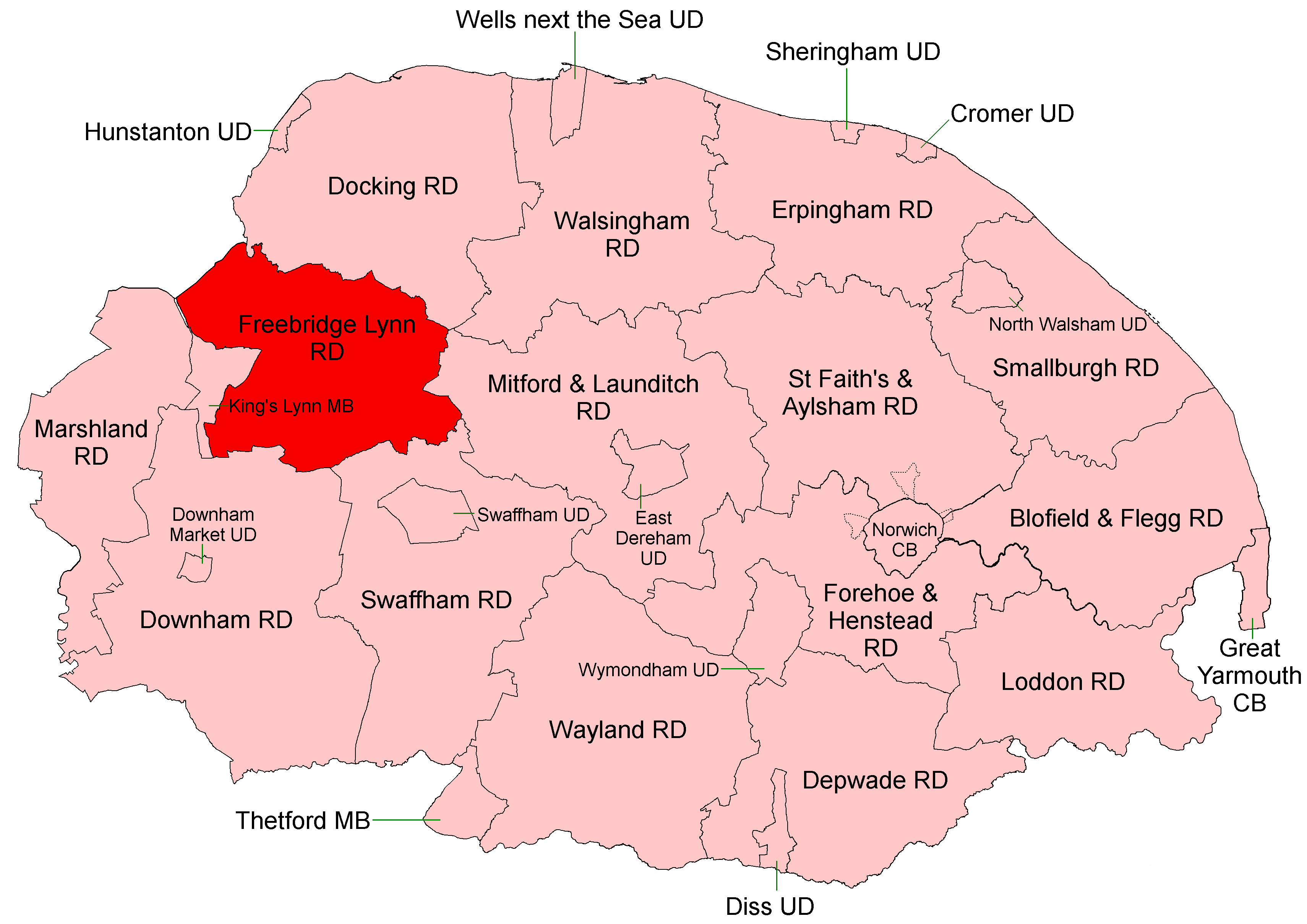
Freebridge Lynn Rural District
Freebridge Lynn Rural District was a rural district in Norfolk, England from 1894 to 1974.It was formed under the Local Government Act 1894 based on the...
Nearby Amenities
Located within 500m of 52.719417,0.50473Have you been to East Winch?
Leave your review of East Winch below (or comments, questions and feedback).