Birch Holt
Wood, Forest in Lincolnshire West Lindsey
England
Birch Holt
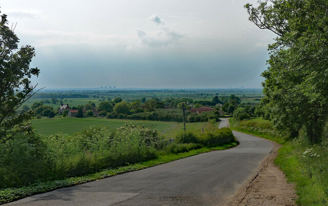
Birch Holt is a charming village located in the county of Lincolnshire, England. It is situated within the heart of the picturesque Lincolnshire Wolds, an Area of Outstanding Natural Beauty. The village takes its name from the abundance of birch trees that can be found in the surrounding area, making it a haven for nature lovers and those seeking a tranquil retreat.
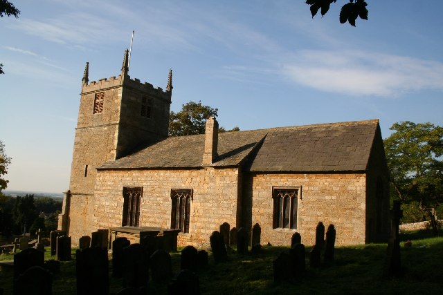
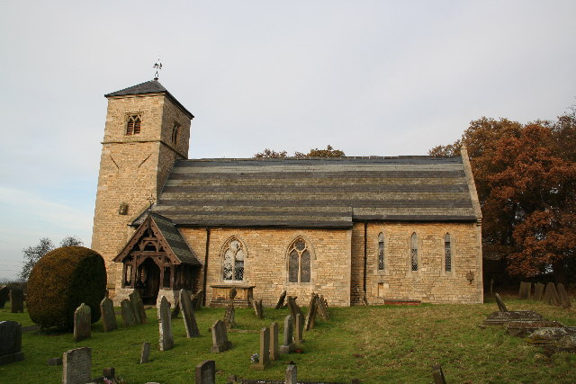
The village is known for its rich history, with evidence of human habitation dating back to the Roman era. The nearby remains of a Roman villa highlight the area's historical significance. Birch Holt is also home to a medieval church, St. Andrew's, which adds to the village's charm and provides a glimpse into its past.
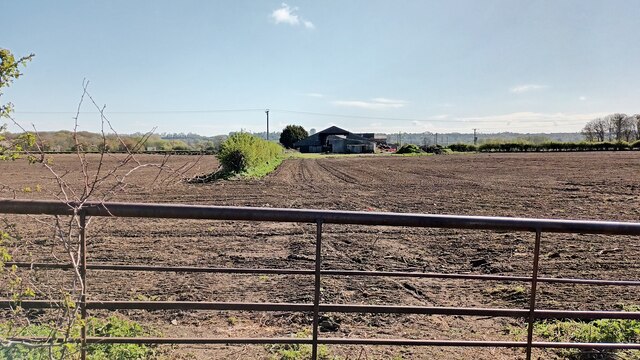
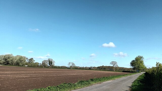
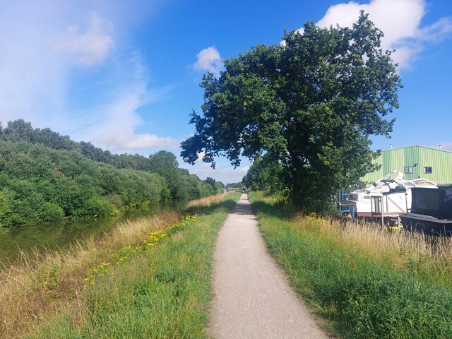
Surrounded by woodlands and forests, Birch Holt offers a wealth of outdoor activities for visitors and residents alike. The area is crisscrossed by numerous footpaths and trails, making it perfect for hiking, walking, and cycling. Birdwatchers will be delighted by the variety of species that can be spotted in the woodlands, including woodpeckers, owls, and rare migratory birds.
The village itself is small, with a close-knit community that prides itself on its welcoming atmosphere. The local pub, The Birch Tree, is a popular gathering spot for residents and visitors to enjoy a pint and a hearty meal. The village also hosts an annual summer fair, which showcases local crafts, produce, and entertainment, bringing the community together in celebration.
In summary, Birch Holt is a picturesque village nestled within the Lincolnshire Wolds, offering stunning natural beauty, a rich history, and a warm community spirit.
If you have any feedback on the listing, please let us know in the comments section below.
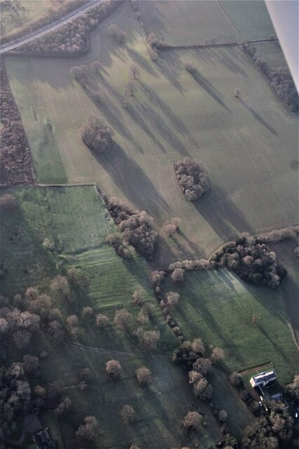
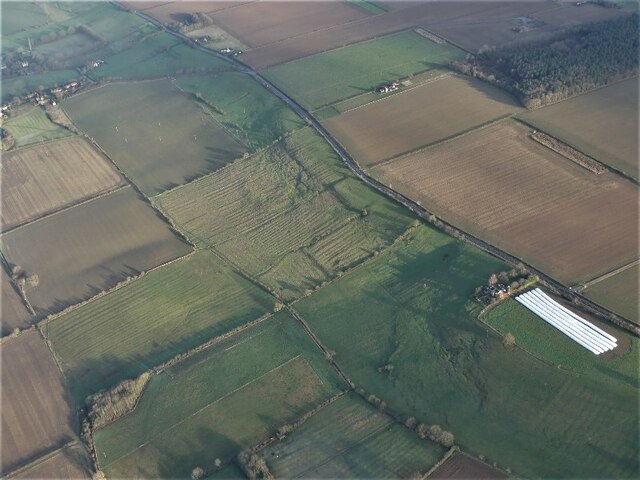
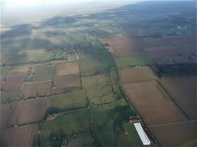
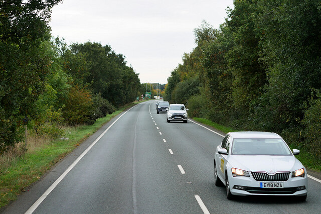
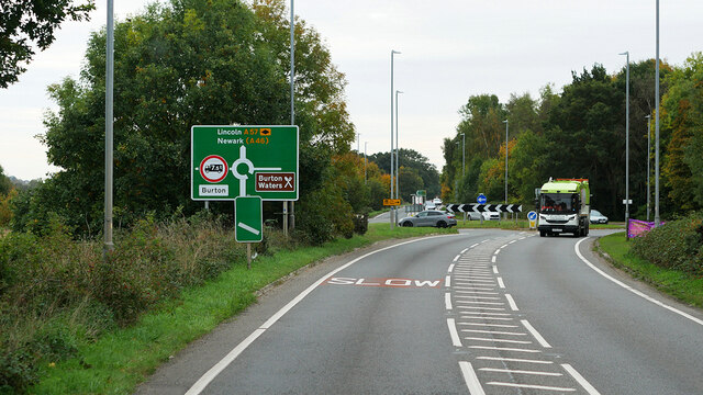
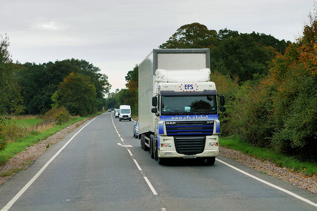
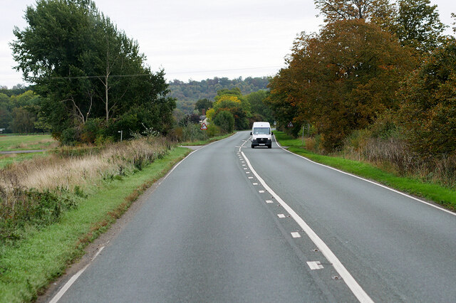
Birch Holt Images
Images are sourced within 2km of 53.262139/-0.58430198 or Grid Reference SK9474. Thanks to Geograph Open Source API. All images are credited.

Birch Holt is located at Grid Ref: SK9474 (Lat: 53.262139, Lng: -0.58430198)
Administrative County: Lincolnshire
District: West Lindsey
Police Authority: Lincolnshire
What 3 Words
///comedy.wink.variously. Near Burton, Lincolnshire
Nearby Locations
Related Wikis
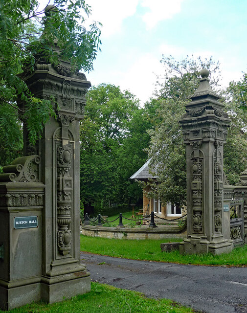
Burton, Lincolnshire
Burton is a civil parish in the West Lindsey district of Lincolnshire, England. Its core settlement is Burton-by-Lincoln. a village situated approximately...
South Carlton
South Carlton is a village and civil parish in the West Lindsey district of Lincolnshire, England. It is situated on the B1398 road, approximately 2 miles...

Skellingthorpe railway station (Great Northern Railway)
Skellingthorpe (Great Northern Railway) railway station was one of two stations serving the village of Skellingthorpe in Lincolnshire, England. It was...

Sobraon Barracks
Sobraon Barracks is a military installation in Lincoln, England. It is currently occupied by the 160 (Lincoln) Squadron Royal Logistic Corps and Lincolnshire...

North Carlton, Lincolnshire
North Carlton is a village and civil parish in the West Lindsey district of Lincolnshire, England. The population of the civil parish at the 2011 census...

Upper Witham IDB
The Upper Witham IDB is an English Internal Drainage Board responsible for land drainage and the management of flood risk for an area to the west of the...

Pyewipe Junction engine shed
Pyewipe Junction engine shed was a motive power depot operated by the Great Eastern Railway (GER) located in Lincolnshire, England.The depot was one of...

Lincoln Racecourse
Lincoln Racecourse is a former horse racing venue to the west of the city of Lincoln, at Carholme, a flat tract of common land in Lincolnshire, England...
Nearby Amenities
Located within 500m of 53.262139,-0.58430198Have you been to Birch Holt?
Leave your review of Birch Holt below (or comments, questions and feedback).