Great Catsey Wood
Wood, Forest in Bedfordshire
England
Great Catsey Wood
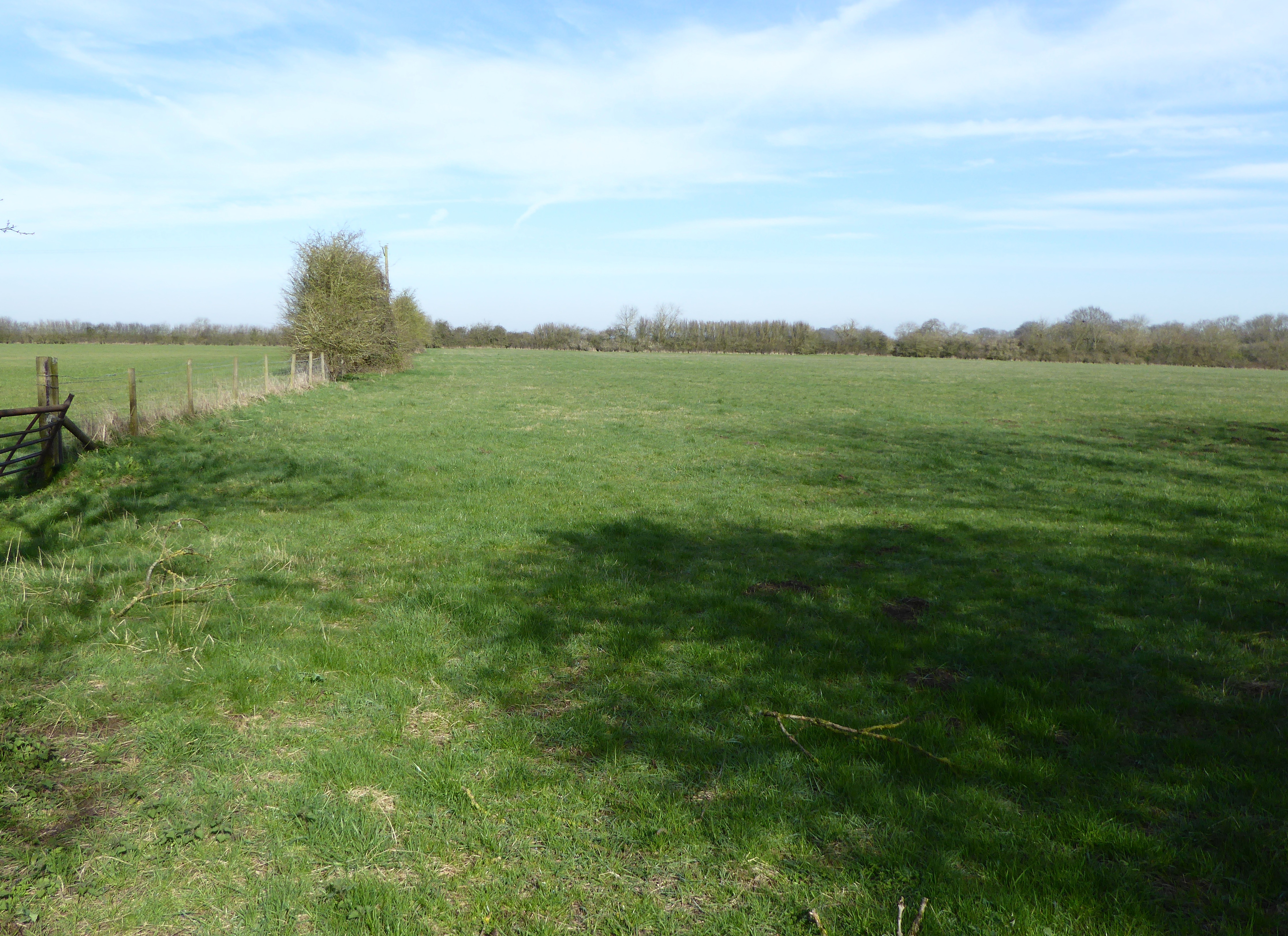
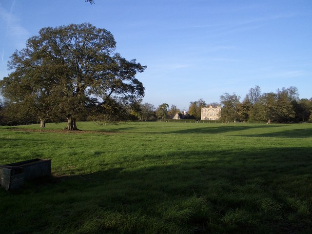
Great Catsey Wood is a picturesque woodland located in the county of Bedfordshire, England. Situated on the eastern edge of the Chiltern Hills, it covers an area of approximately 100 acres and is renowned for its natural beauty and diverse flora and fauna.
The wood is predominantly composed of broadleaf trees, such as oak, beech, and ash, which create a dense canopy that provides shade and shelter for a variety of wildlife. Bluebells bloom in abundance during spring, transforming the woodland floor into a vibrant carpet of purple.
The wood is crisscrossed by a network of footpaths and trails, allowing visitors to explore and appreciate its natural splendor. These paths lead to several designated viewpoints, providing stunning vistas of the surrounding countryside.
Great Catsey Wood is also home to a rich array of wildlife, including deer, foxes, badgers, and a wide variety of bird species. Birdwatchers can spot woodpeckers, owls, and various songbirds among the branches.
The wood has a long history and was mentioned in the Domesday Book in 1086. It has been managed by the Forestry Commission since the 1950s, ensuring its preservation and conservation.
As a popular destination for nature enthusiasts and walkers, Great Catsey Wood offers a tranquil and serene environment for visitors to escape the hustle and bustle of everyday life and immerse themselves in the beauty of the natural world.
If you have any feedback on the listing, please let us know in the comments section below.
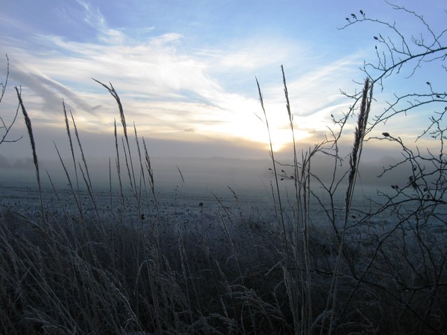
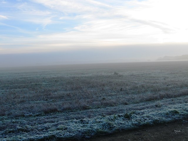
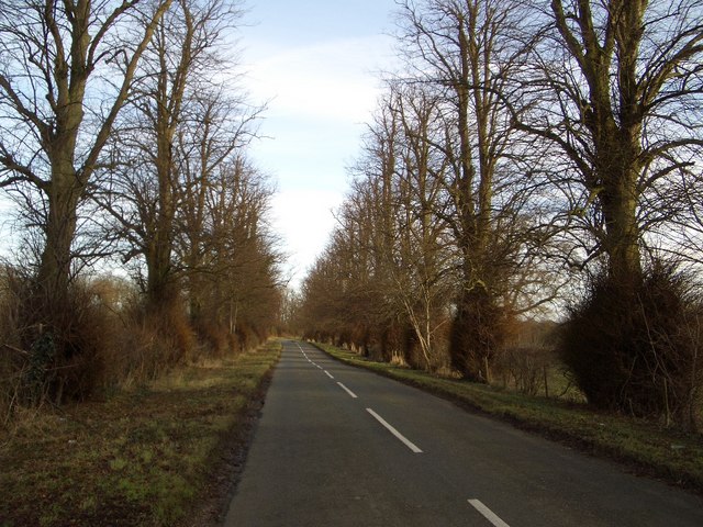
Great Catsey Wood Images
Images are sourced within 2km of 52.225502/-0.61893737 or Grid Reference SP9459. Thanks to Geograph Open Source API. All images are credited.


Great Catsey Wood is located at Grid Ref: SP9459 (Lat: 52.225502, Lng: -0.61893737)
Unitary Authority: Bedford
Police Authority: Bedfordshire
What 3 Words
///buckling.shiny.mule. Near Odell, Bedfordshire
Nearby Locations
Related Wikis
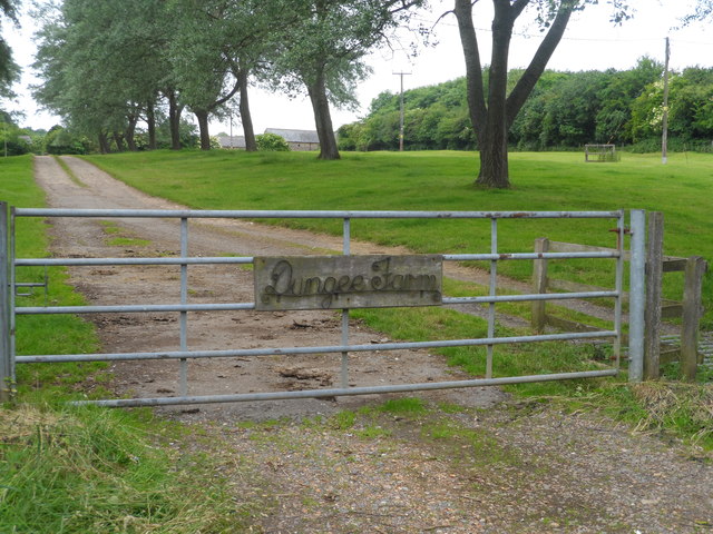
Dungee Corner Meadow
Dungee Corner Meadow is a 5.1-hectare (13-acre) biological Site of Special Scientific Interest east of Bozeat in Northamptonshire.This well drained hay...

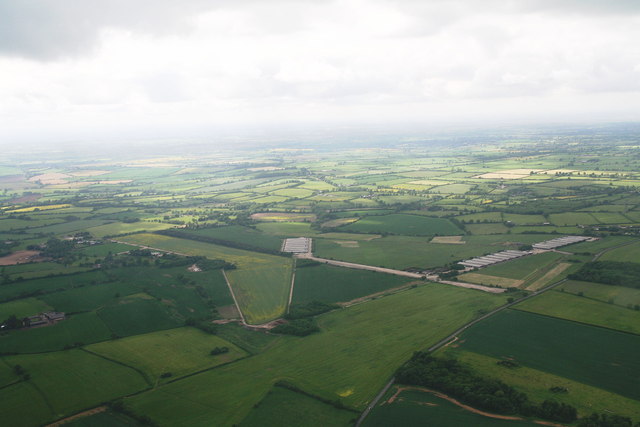
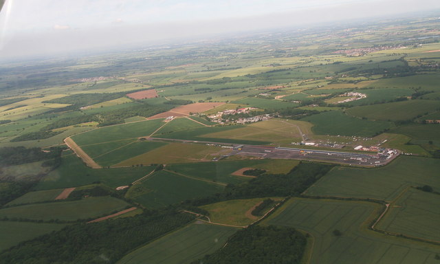
Santa Pod Raceway
Santa Pod Raceway is Europe's first permanent drag racing venue for 1⁄4 mile (1,320 ft; 402 m) and 1⁄8 mile (660 ft; 201 m) racing. Located in Podington...
Hinwick
Hinwick ( HIN-ik) is a hamlet in northwest Bedfordshire, England, United Kingdom; it is around nine miles north west of Bedford and is about 1 km (0.62...
Hinwick House
Hinwick House is a Grade I-listed Queen Anne country house located about 90 minutes from Central London, near Podington in North Bedfordshire. The estate...
Nearby Amenities
Located within 500m of 52.225502,-0.61893737Have you been to Great Catsey Wood?
Leave your review of Great Catsey Wood below (or comments, questions and feedback).