Limekiln Plantation
Wood, Forest in Lincolnshire South Kesteven
England
Limekiln Plantation
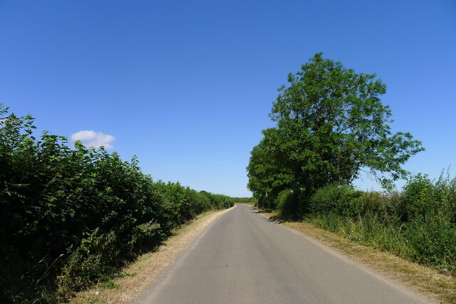
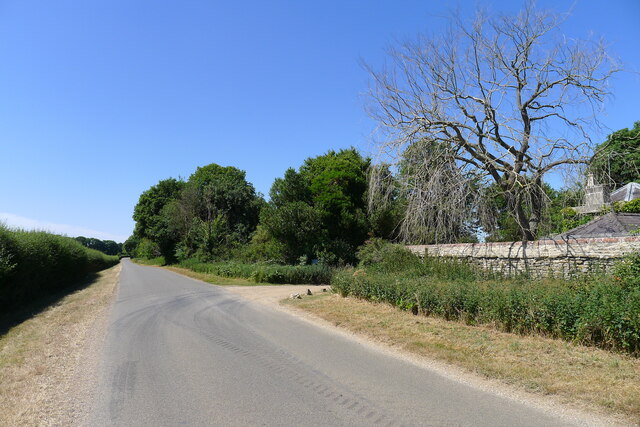
Limekiln Plantation is a picturesque woodland area located in the county of Lincolnshire, England. Situated just a few miles outside the town of Wood, this forested retreat covers an expansive area of approximately 500 acres. The plantation is renowned for its natural beauty and diverse ecosystem, attracting nature enthusiasts and hikers alike.
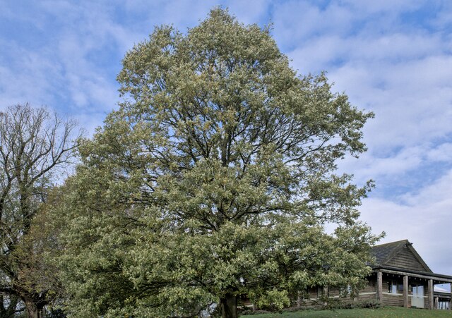
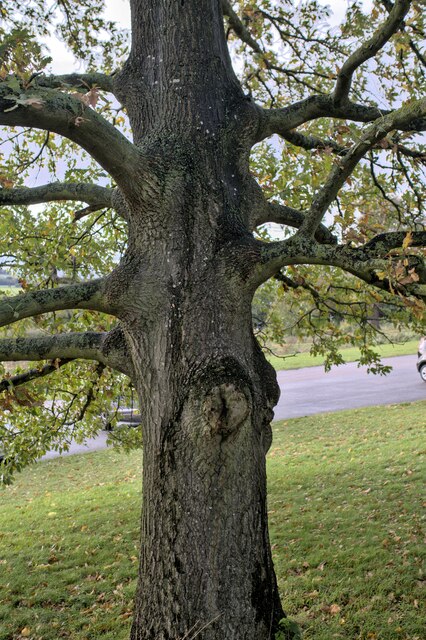
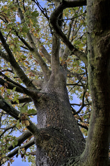
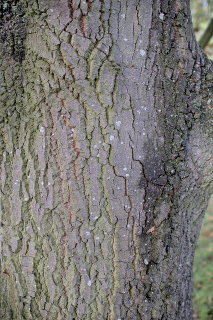
The woodland is predominantly composed of various species of broadleaf trees, including oak, beech, and ash, which create a vibrant and lush environment throughout the year. These trees provide a haven for numerous species of birds and small mammals, making Limekiln Plantation a popular spot for birdwatching and wildlife observation.
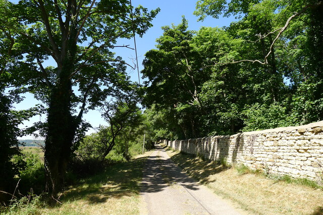
Visitors can explore the plantation through a network of well-maintained walking trails, offering opportunities to immerse themselves in nature and enjoy the tranquil surroundings. The paths meander through the forest, leading to hidden clearings and picturesque viewpoints overlooking the surrounding countryside.
Limekiln Plantation also holds historical significance, as the name suggests. In the past, lime kilns were used to extract lime from limestone, which was then used for various purposes such as building materials and agriculture. Although the kilns are no longer operational, remnants of these structures can still be found within the plantation, serving as a reminder of the area's industrial past.
Overall, Limekiln Plantation in Lincolnshire is a captivating woodland retreat, offering a serene escape from the hustle and bustle of everyday life. Its natural beauty, diverse wildlife, and historical elements make it a popular destination for nature lovers and history enthusiasts alike.
If you have any feedback on the listing, please let us know in the comments section below.
Limekiln Plantation Images
Images are sourced within 2km of 52.956806/-0.59756905 or Grid Reference SK9440. Thanks to Geograph Open Source API. All images are credited.


Limekiln Plantation is located at Grid Ref: SK9440 (Lat: 52.956806, Lng: -0.59756905)
Administrative County: Lincolnshire
District: South Kesteven
Police Authority: Lincolnshire
What 3 Words
///qualifier.monument.voting. Near Ancaster, Lincolnshire
Nearby Locations
Related Wikis

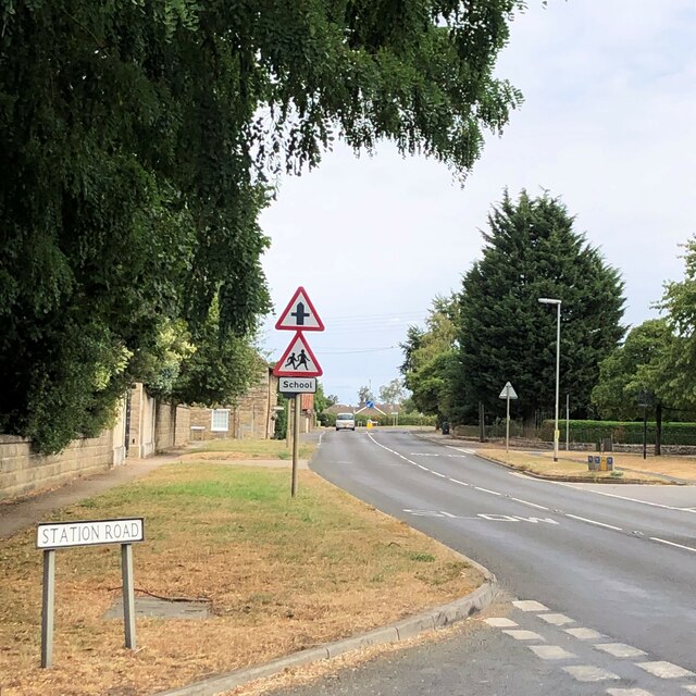
Barkston
Barkston is an English village and civil parish in the South Kesteven district of Lincolnshire. The parish population was 497 at the 2001 census and 493...

Syston, Lincolnshire
Syston is a village and civil parish in the South Kesteven district of Lincolnshire, England. The population of the civil parish was 162 at the 2011 census...

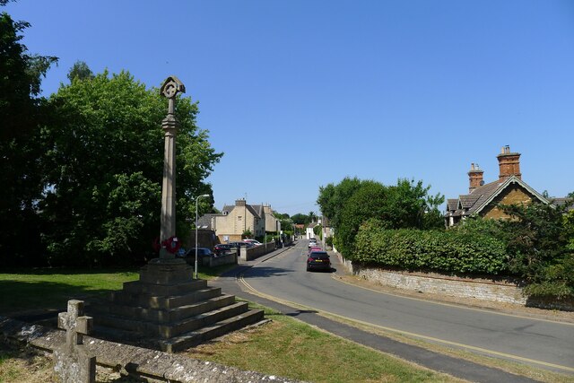
Belton, South Kesteven
Belton is a village in the civil parish of Belton and Manthorpe, in the South Kesteven district of Lincolnshire, England. It is situated on the A607 road...

Belton House Boathouse
The Boathouse on Boathouse Pond, Belton House, Belton, Lincolnshire was designed by Anthony Salvin in 1838–1839. It is a Grade II listed building. ��2...

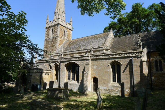
St Peter and St Paul's Church, Belton
The Church of St Peter and St Paul, Belton, South Kesteven, Lincolnshire is a functioning parish church and a Grade I listed building. Since the 17th century...
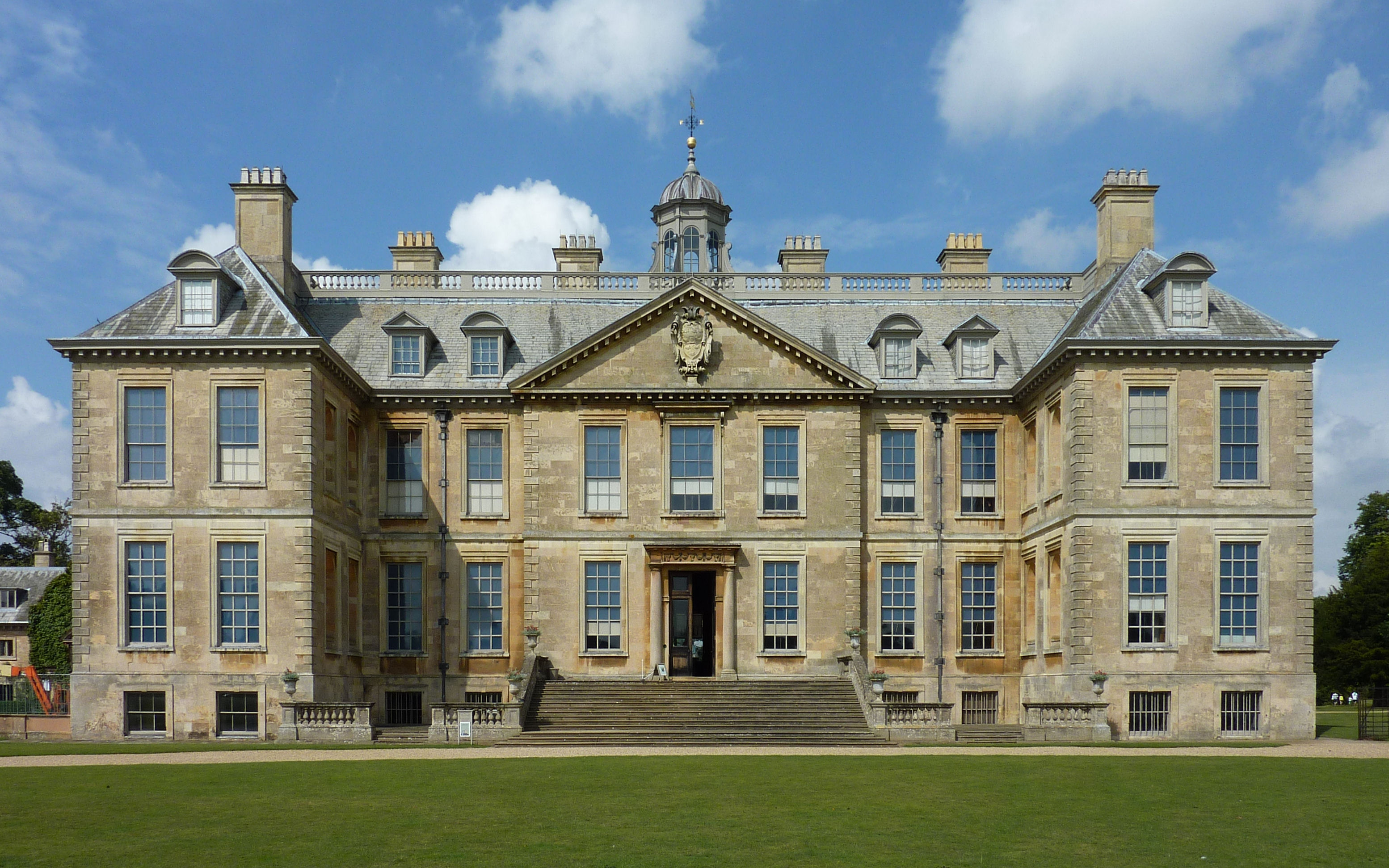
Belton House
Belton House is a Grade I listed country house in the parish of Belton near Grantham in Lincolnshire, England, built between 1685 and 1687 by Sir John...

Honington, Lincolnshire
Honington is an English village and civil parish in the South Kesteven district of Lincolnshire. It lies just north of the junction between the A153 and...

RAF Barkston Heath
Royal Air Force Barkston Heath or RAF Barkston Heath (ICAO: EGYE) is a Royal Air Force Relief Landing Ground under the command of RAF Cranwell near Grantham...
Nearby Amenities
Located within 500m of 52.956806,-0.59756905Have you been to Limekiln Plantation?
Leave your review of Limekiln Plantation below (or comments, questions and feedback).